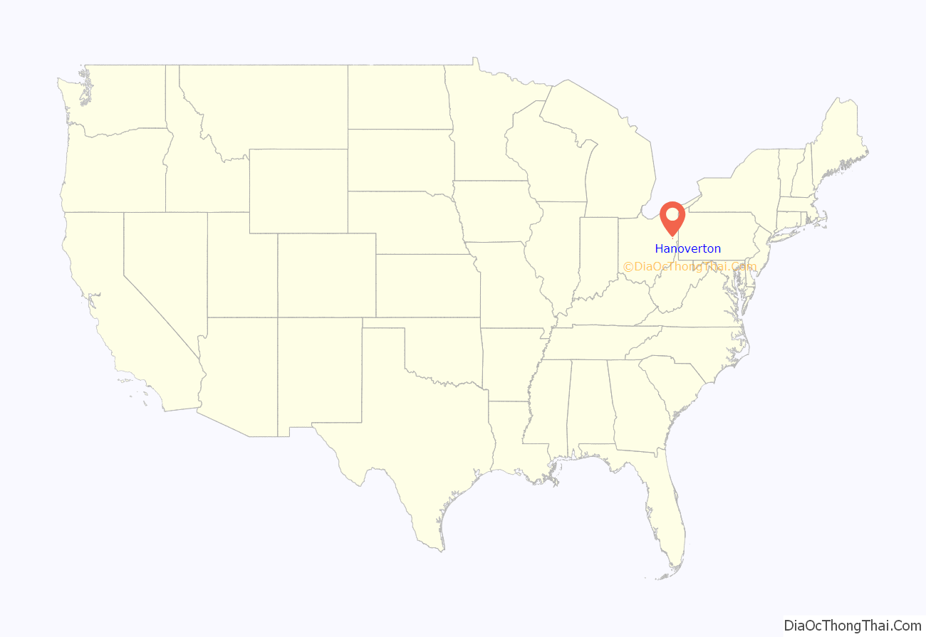
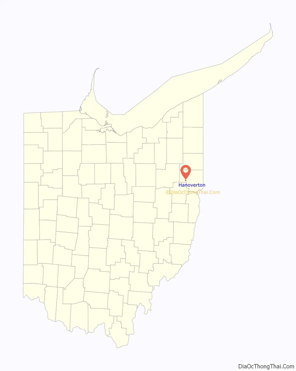
Hanoverton is a village in western Columbiana County, Ohio, United States. The population was 354 at the 2020 census. It is part of the Salem micropolitan area, 23 miles (37 km) miles east of Canton and 28 miles (45 km) southwest of Youngstown.
| Name: | Hanoverton village |
|---|---|
| LSAD Code: | 47 |
| LSAD Description: | village (suffix) |
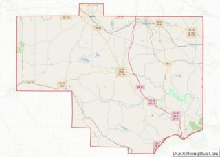
| State: | Ohio |
| County: | Columbiana County |
| Elevation: | 1,129 ft (344 m) |
| Total Area: | 0.69 sq mi (1.80 km²) |
| Land Area: | 0.69 sq mi (1.80 km²) |
| Water Area: | 0.00 sq mi (0.00 km²) |
| Total Population: | 354 |
| Population Density: | 509.35/sq mi (196.57/km²) |
| ZIP code: | 44423 |
| Area code: | 330, 234 |
| FIPS code: | 3933306 |
| GNISfeature ID: | 1041292 |
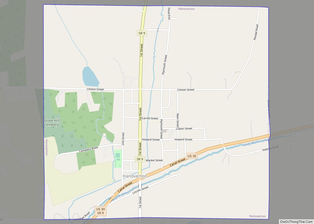
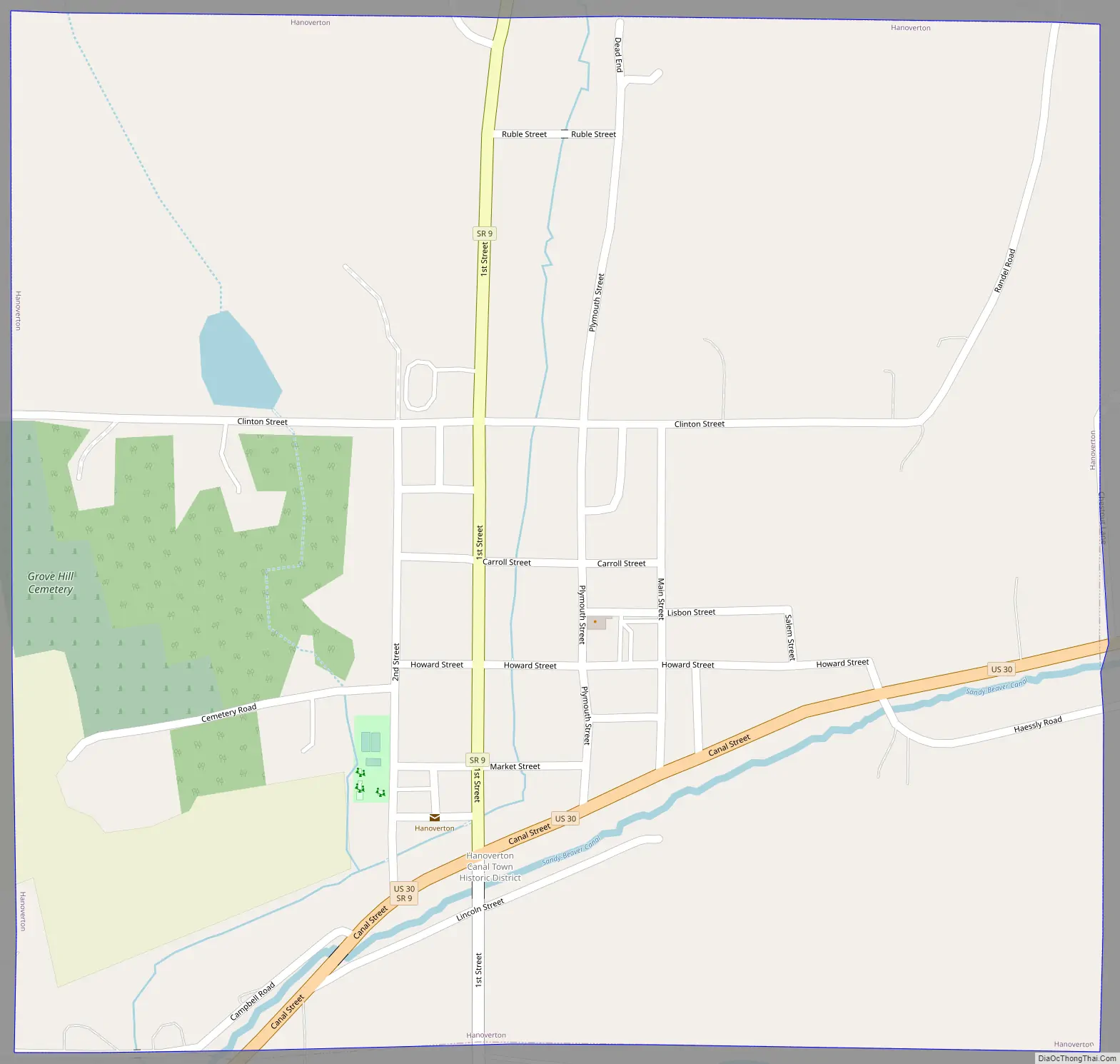
Online Interactive Map
Click on ![]() to view map in "full screen" mode.
to view map in "full screen" mode.
Hanoverton location map. Where is Hanoverton village?
History
Hanoverton was laid out in 1813 by Quaker abolitionist James Craig, and incorporated as a village in 1836. Hanoverton experienced growth in the 1830s by the building of the Sandy and Beaver Canal through the town, reaching a peak population in the late decade of around 2,000 inhabitants. Growth slowed into the 1840s, and by the 1852 completion of the Cleveland and Pittsburgh Railroad the canal was no longer profitable and the town declined.
Hanoverton played a part in the Underground Railroad. An underground passage connected George Sloan’s “Brick Row” with his brother-in-law Dr. James Robertson’s home across the street, where runaway slaves were taken to a secret room. The Spread Eagle Tavern also was connected to a secret tunnel. In 1977 a 23-acre area of Hanoverton was added to the National Register of Historic Places as the Hanoverton Canal Town District. The district is noted for canal-era architecture which is largely unchanged since construction in the mid-1800s. More recently, the town has hosted various political speakers, including Dan Quayle, Newt Gingrich, Dick Cheney, John McCain, and J. D. Vance at the Spread Eagle Tavern.
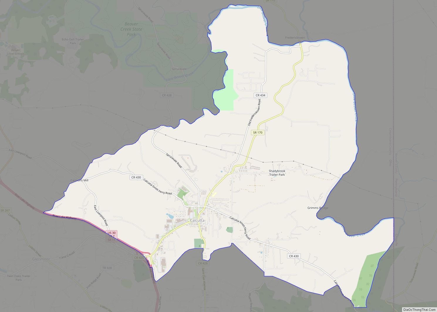
Hanoverton Road Map
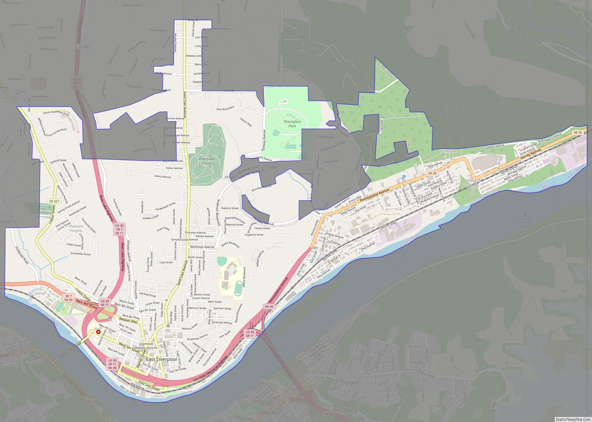
Hanoverton city Satellite Map

Geography
Hanoverton is located at 40°45′13″N 80°56′8″W / 40.75361°N 80.93556°W / 40.75361; -80.93556 (40.753731, -80.935563).
According to the United States Census Bureau, the village has a total area of 0.70 square miles (1.81 km), all land.
Hanoverton lies south of Salem and west of the county seat of Lisbon.
See also
Map of Ohio State and its subdivision:- Adams
- Allen
- Ashland
- Ashtabula
- Athens
- Auglaize
- Belmont
- Brown
- Butler
- Carroll
- Champaign
- Clark
- Clermont
- Clinton
- Columbiana
- Coshocton
- Crawford
- Cuyahoga
- Darke
- Defiance
- Delaware
- Erie
- Fairfield
- Fayette
- Franklin
- Fulton
- Gallia
- Geauga
- Greene
- Guernsey
- Hamilton
- Hancock
- Hardin
- Harrison
- Henry
- Highland
- Hocking
- Holmes
- Huron
- Jackson
- Jefferson
- Knox
- Lake
- Lake Erie
- Lawrence
- Licking
- Logan
- Lorain
- Lucas
- Madison
- Mahoning
- Marion
- Medina
- Meigs
- Mercer
- Miami
- Monroe
- Montgomery
- Morgan
- Morrow
- Muskingum
- Noble
- Ottawa
- Paulding
- Perry
- Pickaway
- Pike
- Portage
- Preble
- Putnam
- Richland
- Ross
- Sandusky
- Scioto
- Seneca
- Shelby
- Stark
- Summit
- Trumbull
- Tuscarawas
- Union
- Van Wert
- Vinton
- Warren
- Washington
- Wayne
- Williams
- Wood
- Wyandot
- Alabama
- Alaska
- Arizona
- Arkansas
- California
- Colorado
- Connecticut
- Delaware
- District of Columbia
- Florida
- Georgia
- Hawaii
- Idaho
- Illinois
- Indiana
- Iowa
- Kansas
- Kentucky
- Louisiana
- Maine
- Maryland
- Massachusetts
- Michigan
- Minnesota
- Mississippi
- Missouri
- Montana
- Nebraska
- Nevada
- New Hampshire
- New Jersey
- New Mexico
- New York
- North Carolina
- North Dakota
- Ohio
- Oklahoma
- Oregon
- Pennsylvania
- Rhode Island
- South Carolina
- South Dakota
- Tennessee
- Texas
- Utah
- Vermont
- Virginia
- Washington
- West Virginia
- Wisconsin
- Wyoming