Kettering is a city in Montgomery County, Ohio, United States. It is an inner suburb of Dayton, Ohio. As of the 2020 census, the city had a population of 57,862, making it the largest suburb in the Dayton metropolitan area.
| Name: | Kettering city |
|---|---|
| LSAD Code: | 25 |
| LSAD Description: | city (suffix) |
| State: | Ohio |
| County: | Greene County, Montgomery County |
| Elevation: | 1,007 ft (307 m) |
| Total Area: | 18.75 sq mi (48.56 km²) |
| Land Area: | 18.71 sq mi (48.47 km²) |
| Water Area: | 0.04 sq mi (0.09 km²) |
| Total Population: | 57,862 |
| Population Density: | 3,091.74/sq mi (1,193.73/km²) |
| ZIP code: | 45409, 45419, 45420, 45429, 45430, 45432, 45439, 45440, 45459 |
| FIPS code: | 3940040 |
| GNISfeature ID: | 1048887 |
| Website: | https://www.ketteringoh.org/ |
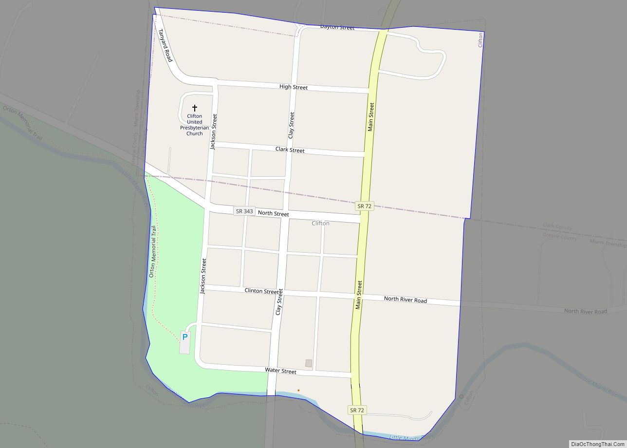
Online Interactive Map
Click on ![]() to view map in "full screen" mode.
to view map in "full screen" mode.
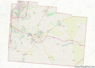
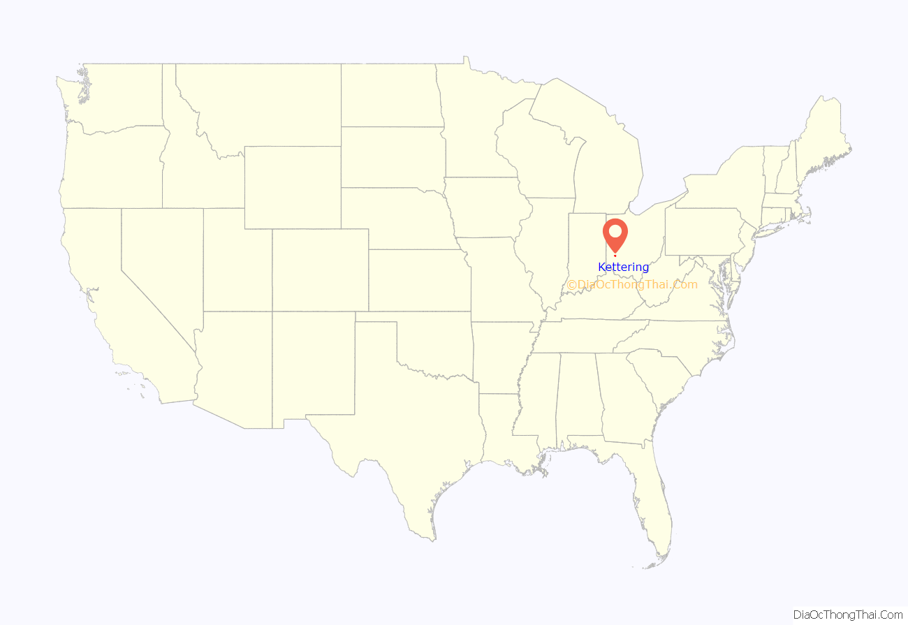
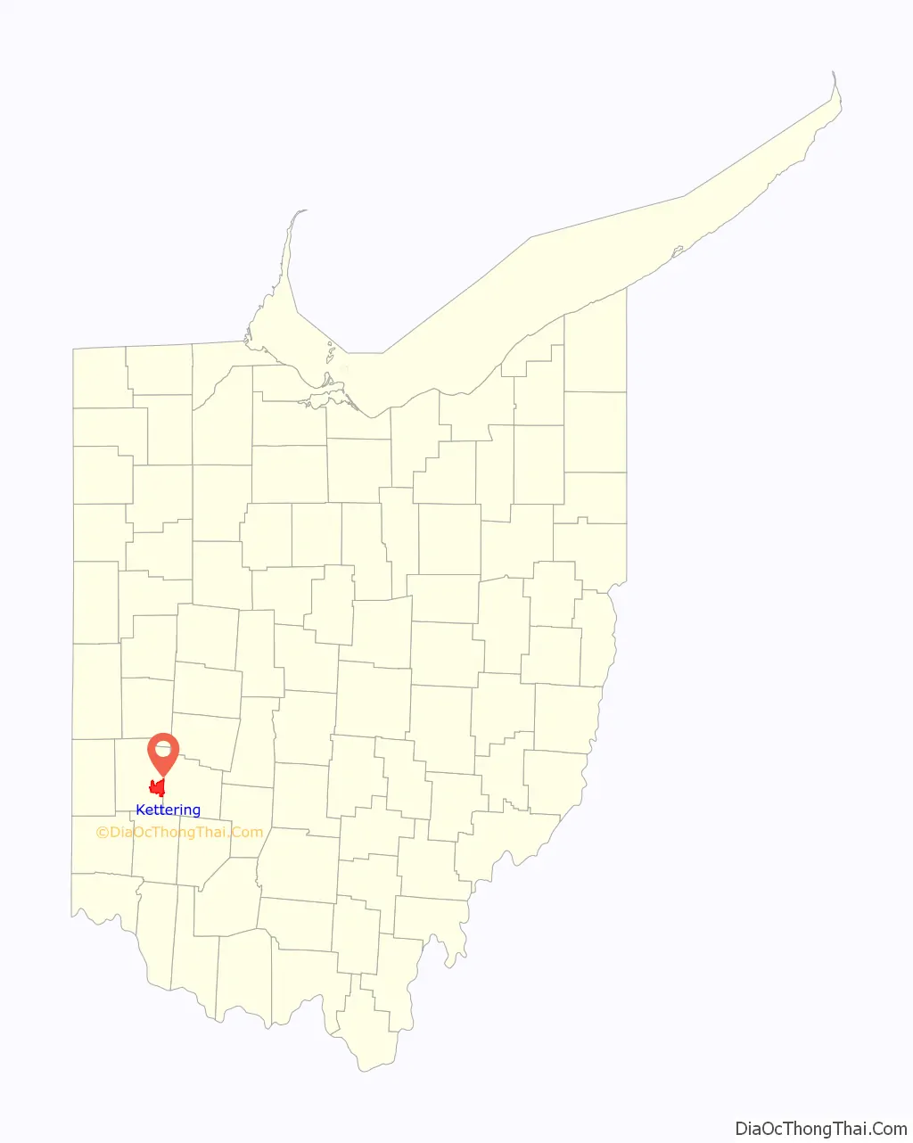
Kettering location map. Where is Kettering city?
History
The area where the city of Kettering now lies was settled from the late 1700s to the mid-1800s, largely as farmland. The population in the area started to grow, prompting the creation of (now defunct) Van Buren Township in 1841. In November 1952, township voters approved incorporating as the Village of Kettering. (In 1953, the western portion of the village voted to secede, forming a new township, which is now the City of Moraine). By 1955, the village’s population had grown to 38,118, which qualified it to claim city status, with the official proclamation by the state on June 24. The city is named for inventor Charles F. Kettering, who resided here in his home, Ridgeleigh Terrace, from 1914 until his death in 1958. Charles Kettering is known for his numerous inventions and contributions to Metro Dayton.
From the 1950s to the 1970s, Kettering’s population continued to grow, adding more than 30,000 residents. This growth was due in part to the many people who started migrating out of nearby Dayton after World War II. Since the 1980s, Kettering has experienced a slow decline in population due to an aging population and loss of manufacturing jobs.
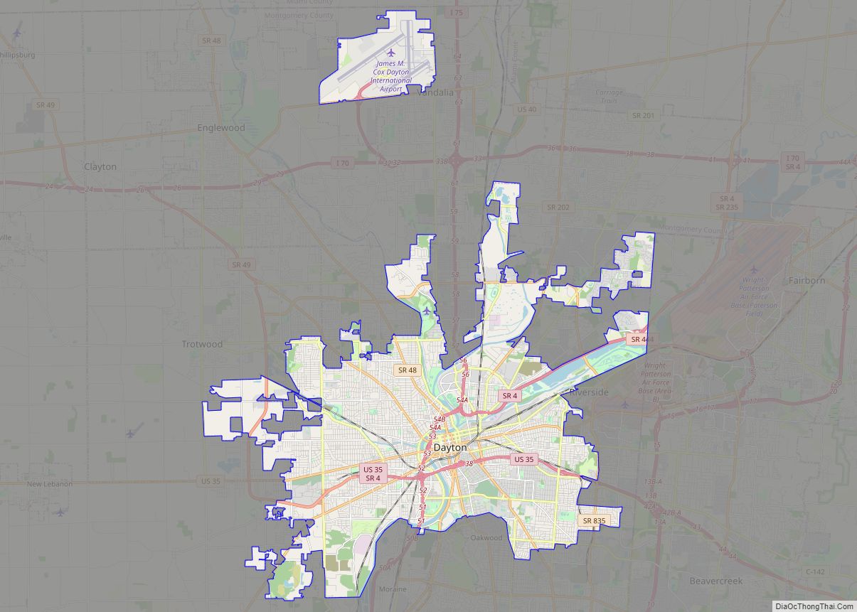
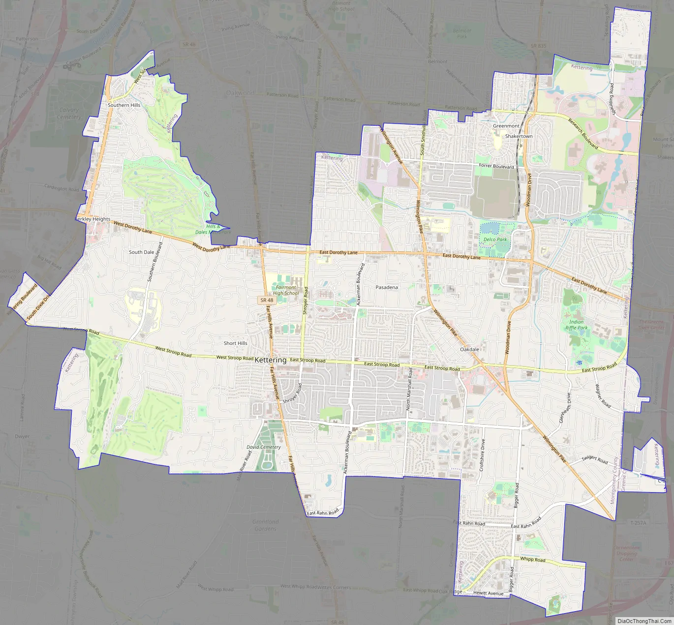
Kettering Road Map
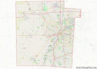
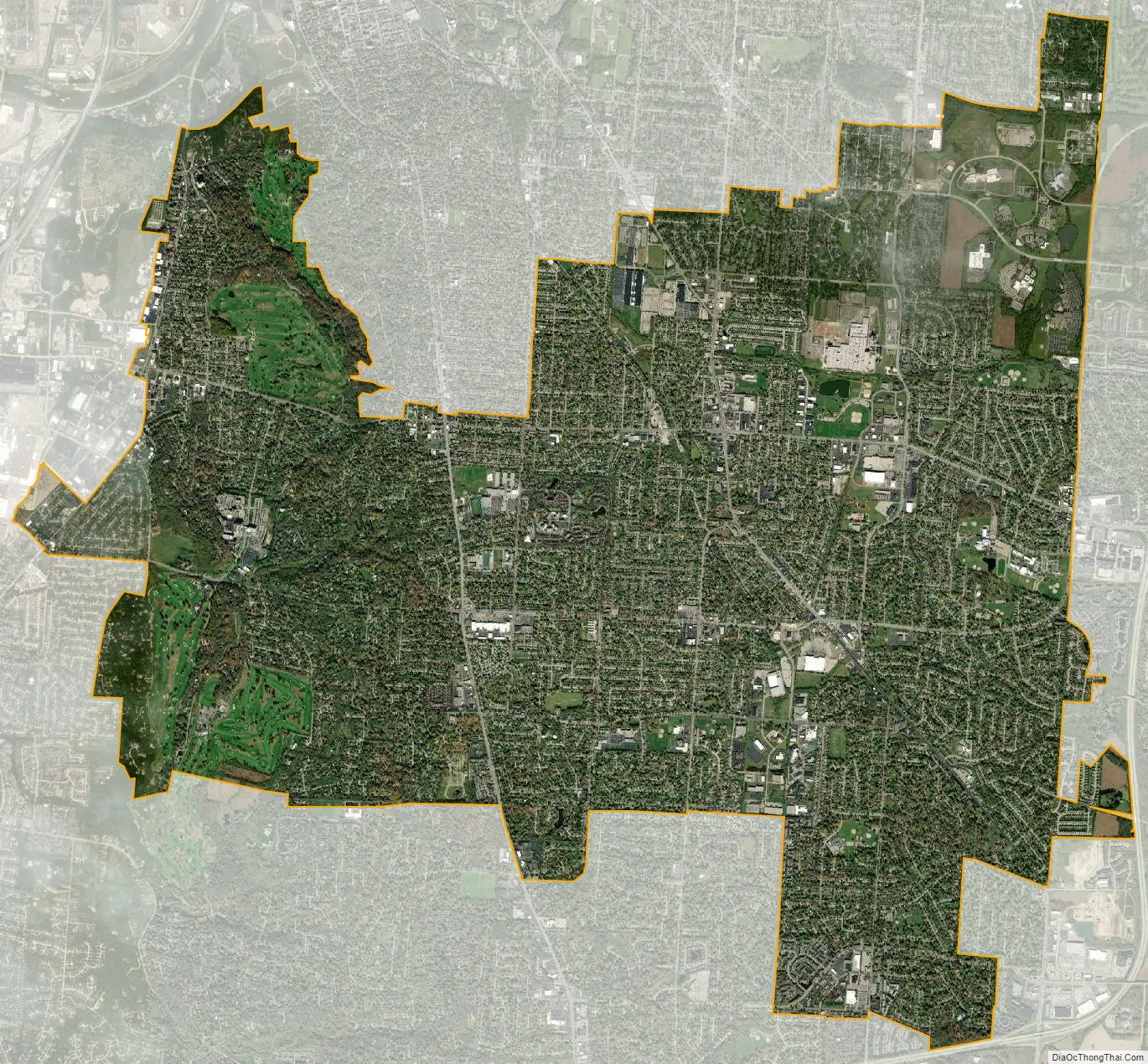
Kettering city Satellite Map
Geography
According to the United States Census Bureau, the city has a total area of 16.42 square miles (42.53 km), of which 18.68 square miles (48.38 km) is land and 0.04 square miles (0.10 km) is water.
The city is bordered by Dayton, Riverside, and Oakwood to the north; West Carrollton and Moraine to the west; Miami Township to the southwest; Centerville and Washington Township to the south; and Beavercreek and Sugarcreek Township to the east.
See also
Map of Ohio State and its subdivision:- Adams
- Allen
- Ashland
- Ashtabula
- Athens
- Auglaize
- Belmont
- Brown
- Butler
- Carroll
- Champaign
- Clark
- Clermont
- Clinton
- Columbiana
- Coshocton
- Crawford
- Cuyahoga
- Darke
- Defiance
- Delaware
- Erie
- Fairfield
- Fayette
- Franklin
- Fulton
- Gallia
- Geauga
- Greene
- Guernsey
- Hamilton
- Hancock
- Hardin
- Harrison
- Henry
- Highland
- Hocking
- Holmes
- Huron
- Jackson
- Jefferson
- Knox
- Lake
- Lake Erie
- Lawrence
- Licking
- Logan
- Lorain
- Lucas
- Madison
- Mahoning
- Marion
- Medina
- Meigs
- Mercer
- Miami
- Monroe
- Montgomery
- Morgan
- Morrow
- Muskingum
- Noble
- Ottawa
- Paulding
- Perry
- Pickaway
- Pike
- Portage
- Preble
- Putnam
- Richland
- Ross
- Sandusky
- Scioto
- Seneca
- Shelby
- Stark
- Summit
- Trumbull
- Tuscarawas
- Union
- Van Wert
- Vinton
- Warren
- Washington
- Wayne
- Williams
- Wood
- Wyandot
- Alabama
- Alaska
- Arizona
- Arkansas
- California
- Colorado
- Connecticut
- Delaware
- District of Columbia
- Florida
- Georgia
- Hawaii
- Idaho
- Illinois
- Indiana
- Iowa
- Kansas
- Kentucky
- Louisiana
- Maine
- Maryland
- Massachusetts
- Michigan
- Minnesota
- Mississippi
- Missouri
- Montana
- Nebraska
- Nevada
- New Hampshire
- New Jersey
- New Mexico
- New York
- North Carolina
- North Dakota
- Ohio
- Oklahoma
- Oregon
- Pennsylvania
- Rhode Island
- South Carolina
- South Dakota
- Tennessee
- Texas
- Utah
- Vermont
- Virginia
- Washington
- West Virginia
- Wisconsin
- Wyoming