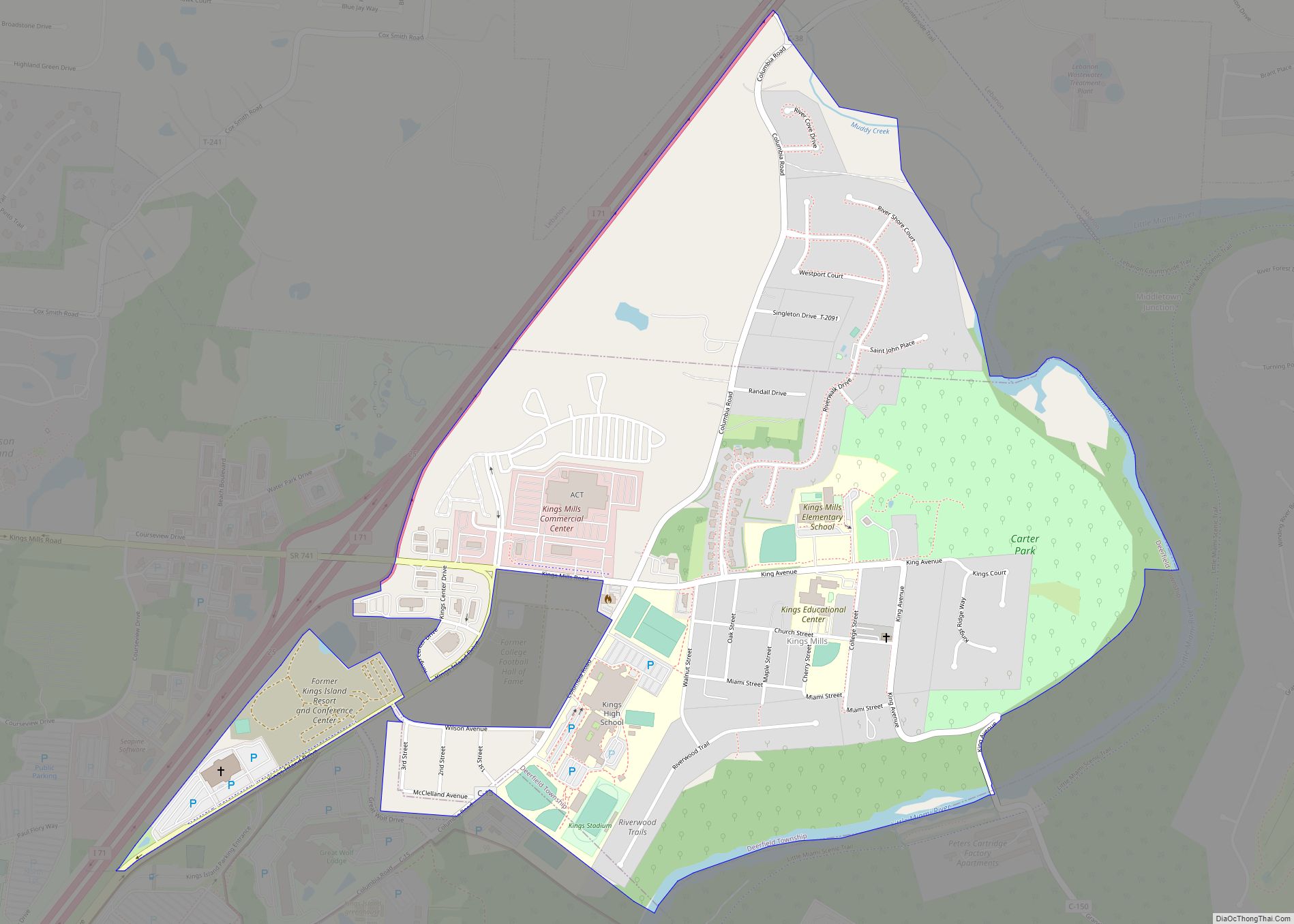
Kings Mills is a census-designated place in the southwestern corner of Deerfield Township, Warren County, Ohio, United States, on the western shore of the Little Miami River. Located along I-71 twenty miles northeast of Cincinnati, it is less than a mile east of Mason, two miles southwest of South Lebanon, two and one-half miles north of Fosters, and two miles west of Hopkinsville.
Another town, Gainsboro, was platted on this site in 1815, but it did not prosper. Kings Mills was established in 1884 as a company town for the King Powder Company, and the Peters Cartridge Company which ceased operations in 1944.
The town is in the Mason (513) telephone exchange and is served by the Kings Mills/Kings Island post office (45034). It is in the Kings Local School District.
The Little Miami Scenic Trail, which runs from Milford to Spring Valley, passes by the community on the eastern shore of the Little Miami River in the former Little Miami Railroad right-of-way.
Kings Island amusement park and Great Wolf Lodge indoor water park are immediately south of the community in Mason. Kings Mills was formerly the home of the College Football Hall of Fame, which moved to South Bend, Indiana in 1995.
| Name: | Kings Mills CDP |
|---|---|
| LSAD Code: | 57 |
| LSAD Description: | CDP (suffix) |
| State: | Ohio |
| County: | Warren County |
| FIPS code: | 3940348 |
Online Interactive Map
Click on ![]() to view map in "full screen" mode.
to view map in "full screen" mode.
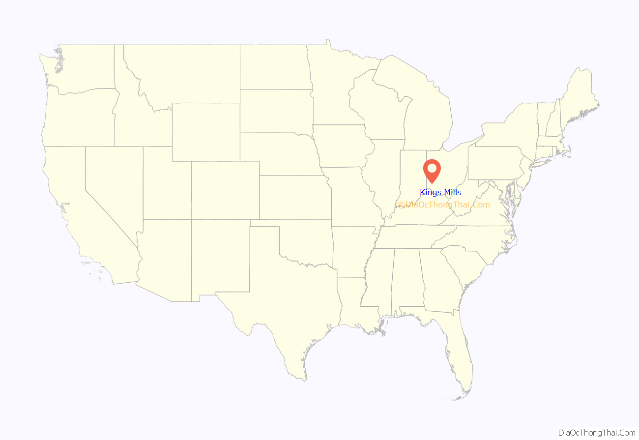
Kings Mills location map. Where is Kings Mills CDP?
Kings Mills Road Map
Kings Mills city Satellite Map
See also
Map of Ohio State and its subdivision:- Adams
- Allen
- Ashland
- Ashtabula
- Athens
- Auglaize
- Belmont
- Brown
- Butler
- Carroll
- Champaign
- Clark
- Clermont
- Clinton
- Columbiana
- Coshocton
- Crawford
- Cuyahoga
- Darke
- Defiance
- Delaware
- Erie
- Fairfield
- Fayette
- Franklin
- Fulton
- Gallia
- Geauga
- Greene
- Guernsey
- Hamilton
- Hancock
- Hardin
- Harrison
- Henry
- Highland
- Hocking
- Holmes
- Huron
- Jackson
- Jefferson
- Knox
- Lake
- Lake Erie
- Lawrence
- Licking
- Logan
- Lorain
- Lucas
- Madison
- Mahoning
- Marion
- Medina
- Meigs
- Mercer
- Miami
- Monroe
- Montgomery
- Morgan
- Morrow
- Muskingum
- Noble
- Ottawa
- Paulding
- Perry
- Pickaway
- Pike
- Portage
- Preble
- Putnam
- Richland
- Ross
- Sandusky
- Scioto
- Seneca
- Shelby
- Stark
- Summit
- Trumbull
- Tuscarawas
- Union
- Van Wert
- Vinton
- Warren
- Washington
- Wayne
- Williams
- Wood
- Wyandot
- Alabama
- Alaska
- Arizona
- Arkansas
- California
- Colorado
- Connecticut
- Delaware
- District of Columbia
- Florida
- Georgia
- Hawaii
- Idaho
- Illinois
- Indiana
- Iowa
- Kansas
- Kentucky
- Louisiana
- Maine
- Maryland
- Massachusetts
- Michigan
- Minnesota
- Mississippi
- Missouri
- Montana
- Nebraska
- Nevada
- New Hampshire
- New Jersey
- New Mexico
- New York
- North Carolina
- North Dakota
- Ohio
- Oklahoma
- Oregon
- Pennsylvania
- Rhode Island
- South Carolina
- South Dakota
- Tennessee
- Texas
- Utah
- Vermont
- Virginia
- Washington
- West Virginia
- Wisconsin
- Wyoming
