Green is a city in southeastern Summit County, Ohio, United States. The population was 27,475 at the 2020 census. It is a suburban community between Akron and Canton and is part of the Akron metropolitan area.
| Name: | Green city |
|---|---|
| LSAD Code: | 25 |
| LSAD Description: | city (suffix) |
| State: | Ohio |
| County: | Summit County |
| Elevation: | 1,138 ft (347 m) |
| Total Area: | 33.53 sq mi (86.84 km²) |
| Land Area: | 32.03 sq mi (82.96 km²) |
| Water Area: | 1.50 sq mi (3.88 km²) |
| Total Population: | 27,475 |
| Population Density: | 857.74/sq mi (331.17/km²) |
| ZIP code: | 44232 |
| Area code: | 330 |
| FIPS code: | 3931860 |
| GNISfeature ID: | 1077586 |
| Website: | https://www.cityofgreen.org/ |
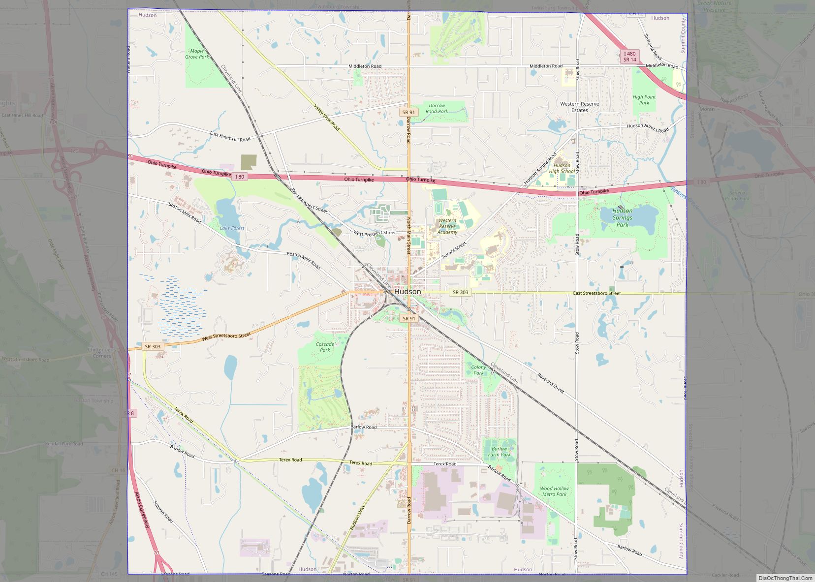
Online Interactive Map
Click on ![]() to view map in "full screen" mode.
to view map in "full screen" mode.
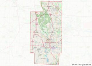
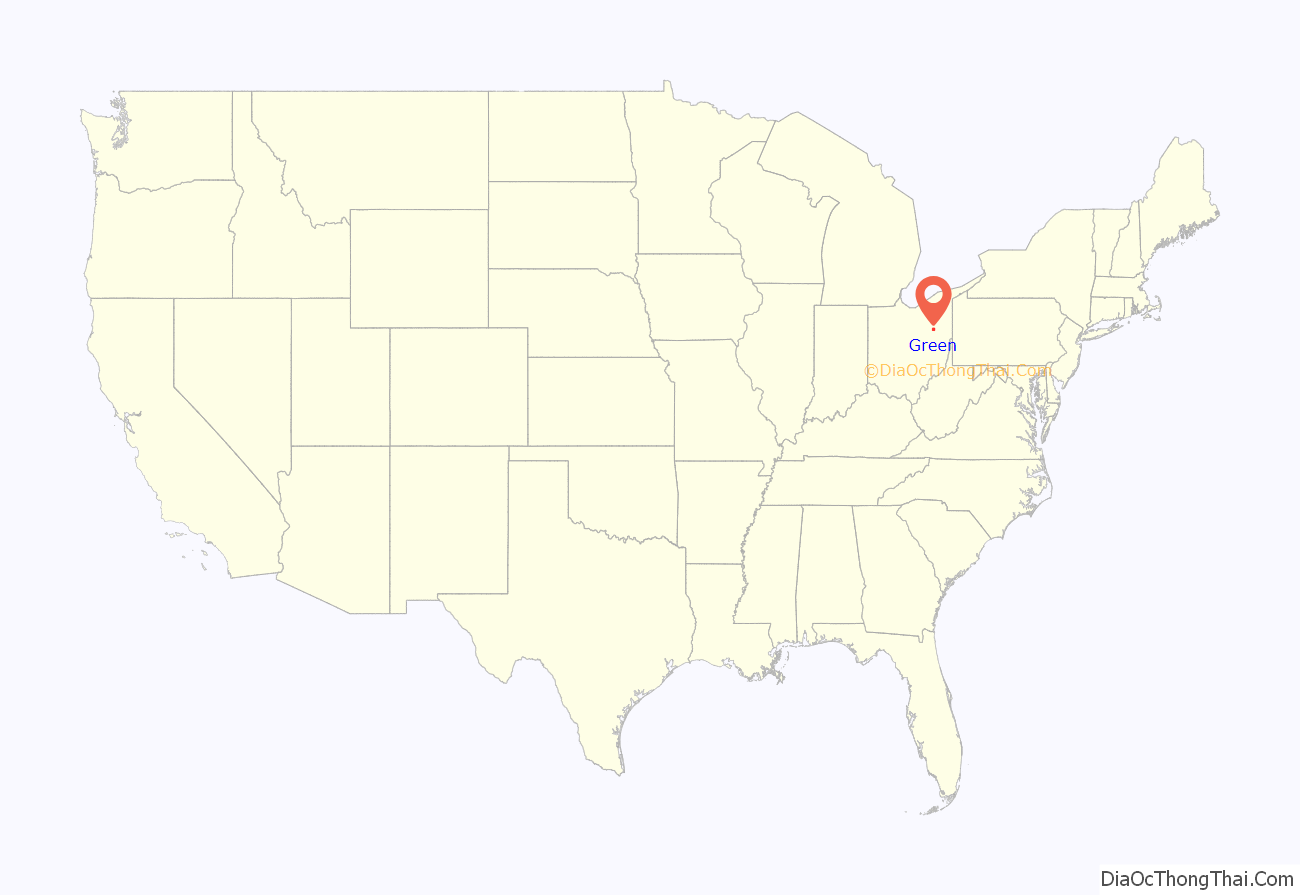
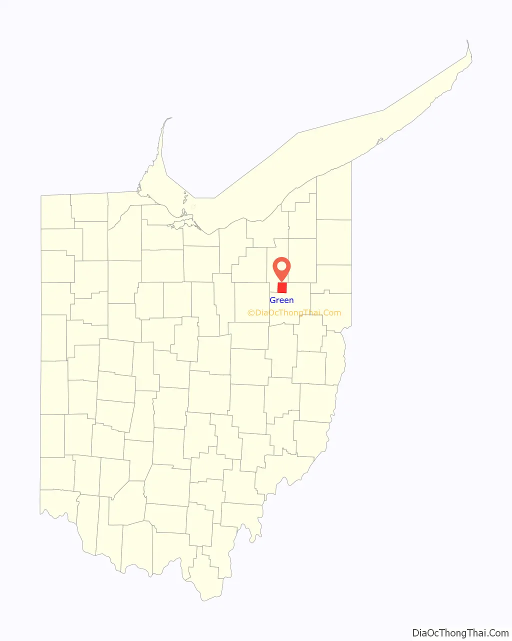
Green location map. Where is Green city?
History
Green Township was first created in 1809 as part of Stark County. Green Township became part of Summit County after that county’s establishment in 1840. Green had several unincorporated hamlets, most notably Greensburg. By 1900, five unincorporated settlements were in Green Township, surrounded by farmlands with valuable crops and areas of coal. The local economy transitioned from farming to business and manufacturing. By 1950, farmers began to sell their lands to developers for residential housing. The increased development in the community led to discussions about becoming a city. Voters approved the merger of the village with the rest of the township in 1991. In the beginning of 1991, Green Township was incorporated as the Village of Green. The village was declared a city in 1992, with the first city mayor being John Torok.
The City of Green is also notable for its legal battle against the NEXUS Pipeline, which runs dangerously close to residential neighborhoods, endangered wetlands, and the Comet Lake Dam. Construction began in 2018 after a settlement of $7.5 million was reached with the city’s government.
Post office
The city has no unique postal ZIP code. It is served by the Green post office, but only post office boxes are served by this ZIP code (44232). No street addresses in Green have this ZIP code, Green street addresses are served by 5 different post offices:
- Two Akron post offices (ZIP codes 44312, 44319)
- One North Canton post office (44720)
- Clinton (44216) post office
- Uniontown post office (44685)
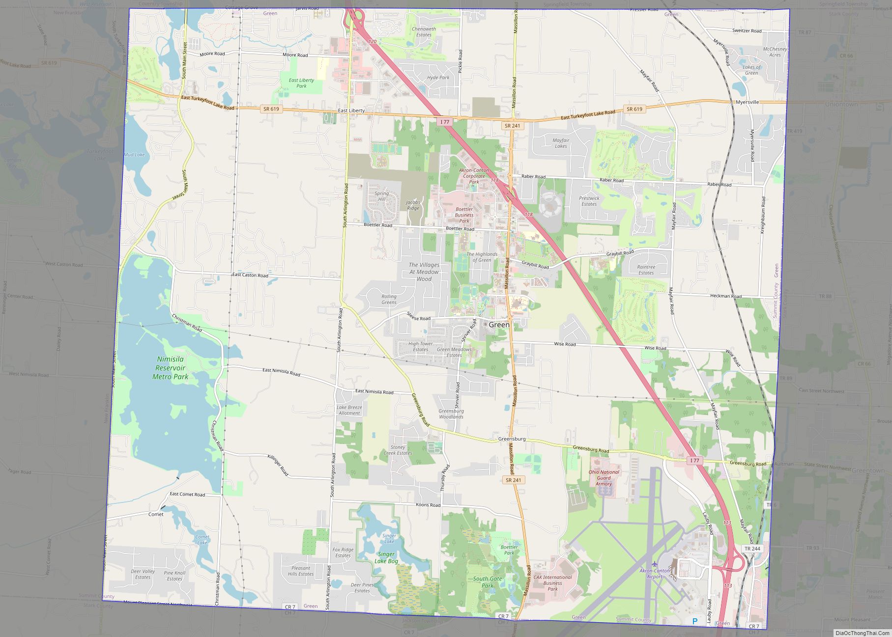
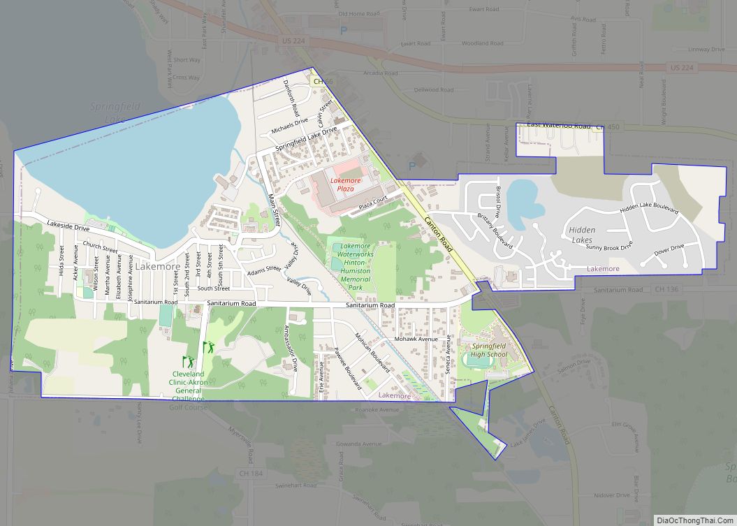
Green Road Map

Green city Satellite Map

Geography
Green is at 40°57′24″N 81°28′52″W / 40.95667°N 81.48111°W / 40.95667; -81.48111 (40.956719, -81.481218).
According to the United States Census Bureau, the city has a total area of 33.54 square miles (86.87 km), of which 32.06 square miles (83.04 km) is land and 1.48 square miles (3.83 km) is water.
See also
Map of Ohio State and its subdivision:- Adams
- Allen
- Ashland
- Ashtabula
- Athens
- Auglaize
- Belmont
- Brown
- Butler
- Carroll
- Champaign
- Clark
- Clermont
- Clinton
- Columbiana
- Coshocton
- Crawford
- Cuyahoga
- Darke
- Defiance
- Delaware
- Erie
- Fairfield
- Fayette
- Franklin
- Fulton
- Gallia
- Geauga
- Greene
- Guernsey
- Hamilton
- Hancock
- Hardin
- Harrison
- Henry
- Highland
- Hocking
- Holmes
- Huron
- Jackson
- Jefferson
- Knox
- Lake
- Lake Erie
- Lawrence
- Licking
- Logan
- Lorain
- Lucas
- Madison
- Mahoning
- Marion
- Medina
- Meigs
- Mercer
- Miami
- Monroe
- Montgomery
- Morgan
- Morrow
- Muskingum
- Noble
- Ottawa
- Paulding
- Perry
- Pickaway
- Pike
- Portage
- Preble
- Putnam
- Richland
- Ross
- Sandusky
- Scioto
- Seneca
- Shelby
- Stark
- Summit
- Trumbull
- Tuscarawas
- Union
- Van Wert
- Vinton
- Warren
- Washington
- Wayne
- Williams
- Wood
- Wyandot
- Alabama
- Alaska
- Arizona
- Arkansas
- California
- Colorado
- Connecticut
- Delaware
- District of Columbia
- Florida
- Georgia
- Hawaii
- Idaho
- Illinois
- Indiana
- Iowa
- Kansas
- Kentucky
- Louisiana
- Maine
- Maryland
- Massachusetts
- Michigan
- Minnesota
- Mississippi
- Missouri
- Montana
- Nebraska
- Nevada
- New Hampshire
- New Jersey
- New Mexico
- New York
- North Carolina
- North Dakota
- Ohio
- Oklahoma
- Oregon
- Pennsylvania
- Rhode Island
- South Carolina
- South Dakota
- Tennessee
- Texas
- Utah
- Vermont
- Virginia
- Washington
- West Virginia
- Wisconsin
- Wyoming