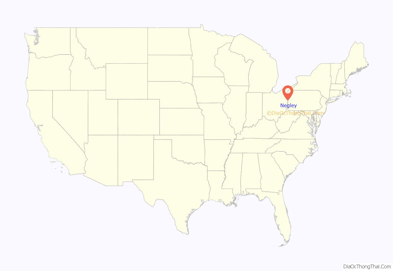
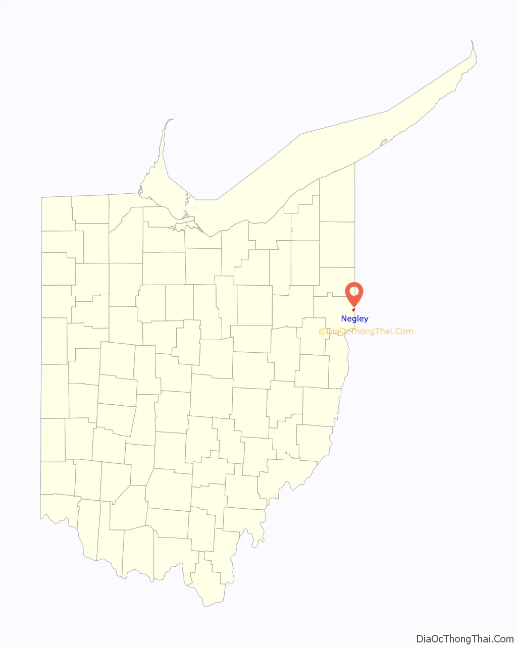
Negley is an unincorporated community and census-designated place in Middleton Township, Columbiana County, Ohio, United States. The population was 274 at the 2020 census. It is part of the Salem micropolitan area, 22 miles (35 km) south of Youngstown.
Historically a mining community, Negley lies at the confluence of Bull Creek and the North Fork of the Little Beaver Creek along State Routes 154 and 170 at the state border with Pennsylvania. It is located on the Youngstown and Southeastern Railroad, and was formerly home to the only Youngstown and Southern Railroad shop.
| Name: | Negley CDP |
|---|---|
| LSAD Code: | 57 |
| LSAD Description: | CDP (suffix) |
| State: | Ohio |
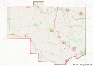
| County: | Columbiana County |
| Elevation: | 1,115 ft (340 m) |
| Total Area: | 0.90 sq mi (2.32 km²) |
| Land Area: | 0.90 sq mi (2.32 km²) |
| Water Area: | 0.00 sq mi (0.00 km²) |
| Total Population: | 274 |
| Population Density: | 305.80/sq mi (118.01/km²) |
| ZIP code: | 44441 |
| Area code: | 330, 234 |
| FIPS code: | 3953802 |
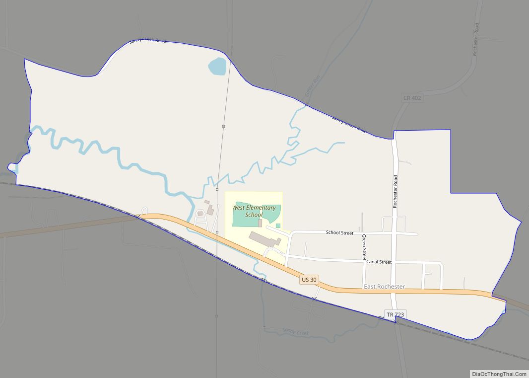
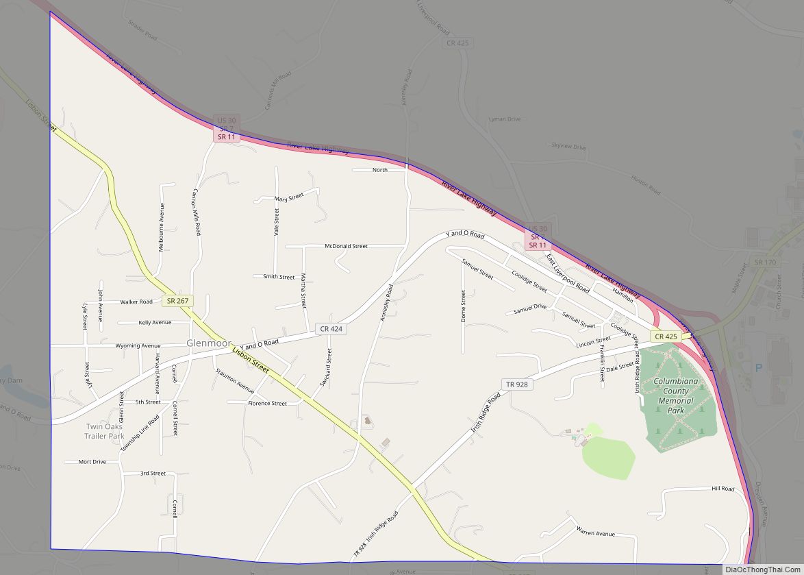
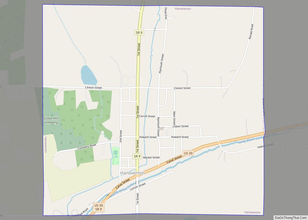
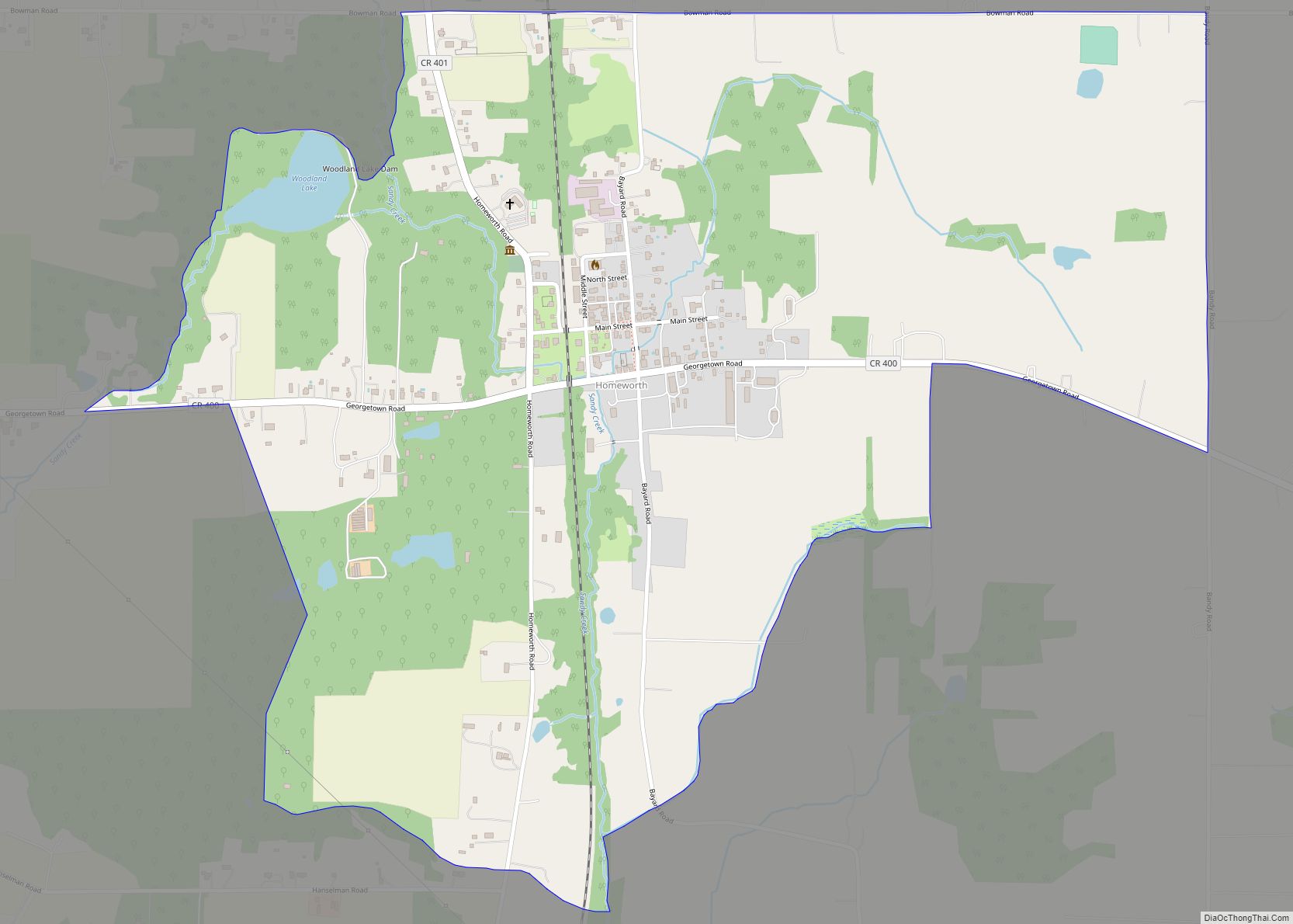
Online Interactive Map
Click on ![]() to view map in "full screen" mode.
to view map in "full screen" mode.
Negley location map. Where is Negley CDP?
History
Negley was the site of a Native American community before European colonization, located on a section of the Great Trail that “crossed the pancake” on the way between Pittsburgh, Pennsylvania and Coshocton, Ohio.
Negley derives its name from Civil War Major General James S. Negley, who hailed from Pittsburgh. After the end of the Civil War, Negley returned to Pittsburgh and served in the U.S. House of Representatives for Pennsylvania in the late 19th century. After retiring from politics, he entered the railroad business and became president of the New York, Pittsburgh & Chicago Railway, which in 1883 platted Negley as the first new town along its line, named in his honor. Negley grew in to a small mining community based from a nearby coal mine operated by the Powers Mining Company.
The community formerly had an honor roll for residents who were veterans of World War II on the east side, but it was removed in the 1960s due to deterioration. A Negley post office has been in operation since 1883, which serves eastern Middleton Township and Lake Tomahawk. It bears the ZIP code of 44441.
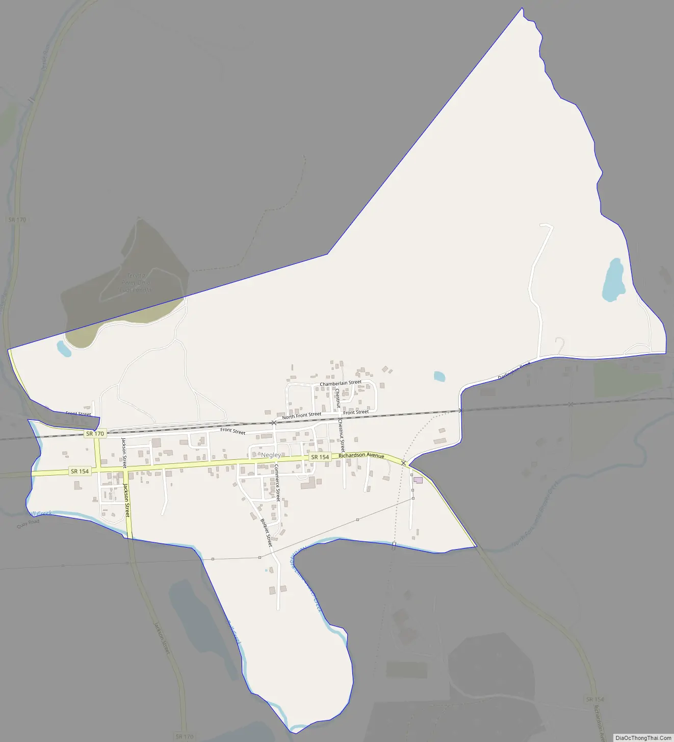
Negley Road Map
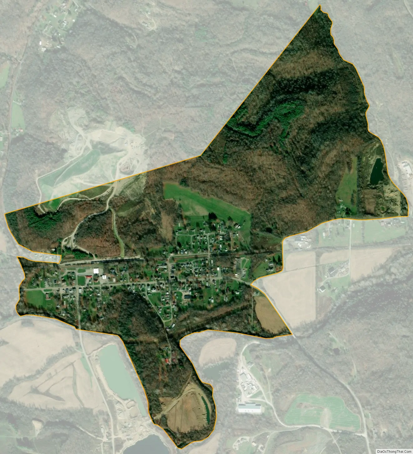
Negley city Satellite Map
Geography
Negley is located in eastern Columbiana County at 40°47′24″N 80°32′20″W / 40.79000°N 80.53889°W / 40.79000; -80.53889, in eastern Middleton Township, which it completely surrounded by. The CDP lies along of the North Fork of the Little Beaver Creek and Bull Creek at the foothills of the Appalachian Mountains. The CDP is 3 miles (4.8 km) south of East Palestine, 14 miles (23 km) north of East Liverpool, and 10 miles (16 km) west of central Chippewa Township, Pennsylvania.
The following highways pass through Negley:
- State Route 154
- State Route 170
According to the United States Census Bureau, the Negley CDP has a total area of 0.89 square miles (2.31 km), all land.
See also
Map of Ohio State and its subdivision:- Adams
- Allen
- Ashland
- Ashtabula
- Athens
- Auglaize
- Belmont
- Brown
- Butler
- Carroll
- Champaign
- Clark
- Clermont
- Clinton
- Columbiana
- Coshocton
- Crawford
- Cuyahoga
- Darke
- Defiance
- Delaware
- Erie
- Fairfield
- Fayette
- Franklin
- Fulton
- Gallia
- Geauga
- Greene
- Guernsey
- Hamilton
- Hancock
- Hardin
- Harrison
- Henry
- Highland
- Hocking
- Holmes
- Huron
- Jackson
- Jefferson
- Knox
- Lake
- Lake Erie
- Lawrence
- Licking
- Logan
- Lorain
- Lucas
- Madison
- Mahoning
- Marion
- Medina
- Meigs
- Mercer
- Miami
- Monroe
- Montgomery
- Morgan
- Morrow
- Muskingum
- Noble
- Ottawa
- Paulding
- Perry
- Pickaway
- Pike
- Portage
- Preble
- Putnam
- Richland
- Ross
- Sandusky
- Scioto
- Seneca
- Shelby
- Stark
- Summit
- Trumbull
- Tuscarawas
- Union
- Van Wert
- Vinton
- Warren
- Washington
- Wayne
- Williams
- Wood
- Wyandot
- Alabama
- Alaska
- Arizona
- Arkansas
- California
- Colorado
- Connecticut
- Delaware
- District of Columbia
- Florida
- Georgia
- Hawaii
- Idaho
- Illinois
- Indiana
- Iowa
- Kansas
- Kentucky
- Louisiana
- Maine
- Maryland
- Massachusetts
- Michigan
- Minnesota
- Mississippi
- Missouri
- Montana
- Nebraska
- Nevada
- New Hampshire
- New Jersey
- New Mexico
- New York
- North Carolina
- North Dakota
- Ohio
- Oklahoma
- Oregon
- Pennsylvania
- Rhode Island
- South Carolina
- South Dakota
- Tennessee
- Texas
- Utah
- Vermont
- Virginia
- Washington
- West Virginia
- Wisconsin
- Wyoming