Richfield is a village in Summit County, Ohio, United States. The population was 3,648 at the 2010 census. The village and the adjacent Richfield Township are approximately equidistant between the downtown areas of Akron and Cleveland. It is part of the Akron metropolitan area. Richfield is the sister city of Wolfach, Germany.
| Name: | Richfield village |
|---|---|
| LSAD Code: | 47 |
| LSAD Description: | village (suffix) |
| State: | Ohio |
| County: | Summit County |
| Incorporated: | 1967 |
| Total Area: | 9.25 sq mi (23.97 km²) |
| Land Area: | 9.25 sq mi (23.96 km²) |
| Water Area: | 0.00 sq mi (0.01 km²) |
| Total Population: | 3,729 |
| Population Density: | 403.09/sq mi (155.64/km²) |
| ZIP code: | 44286 |
| Area code: | 330 |
| FIPS code: | 3966530 |
| Website: | https://www.richfieldvillageohio.org |
Online Interactive Map
Click on ![]() to view map in "full screen" mode.
to view map in "full screen" mode.
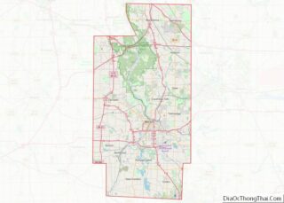
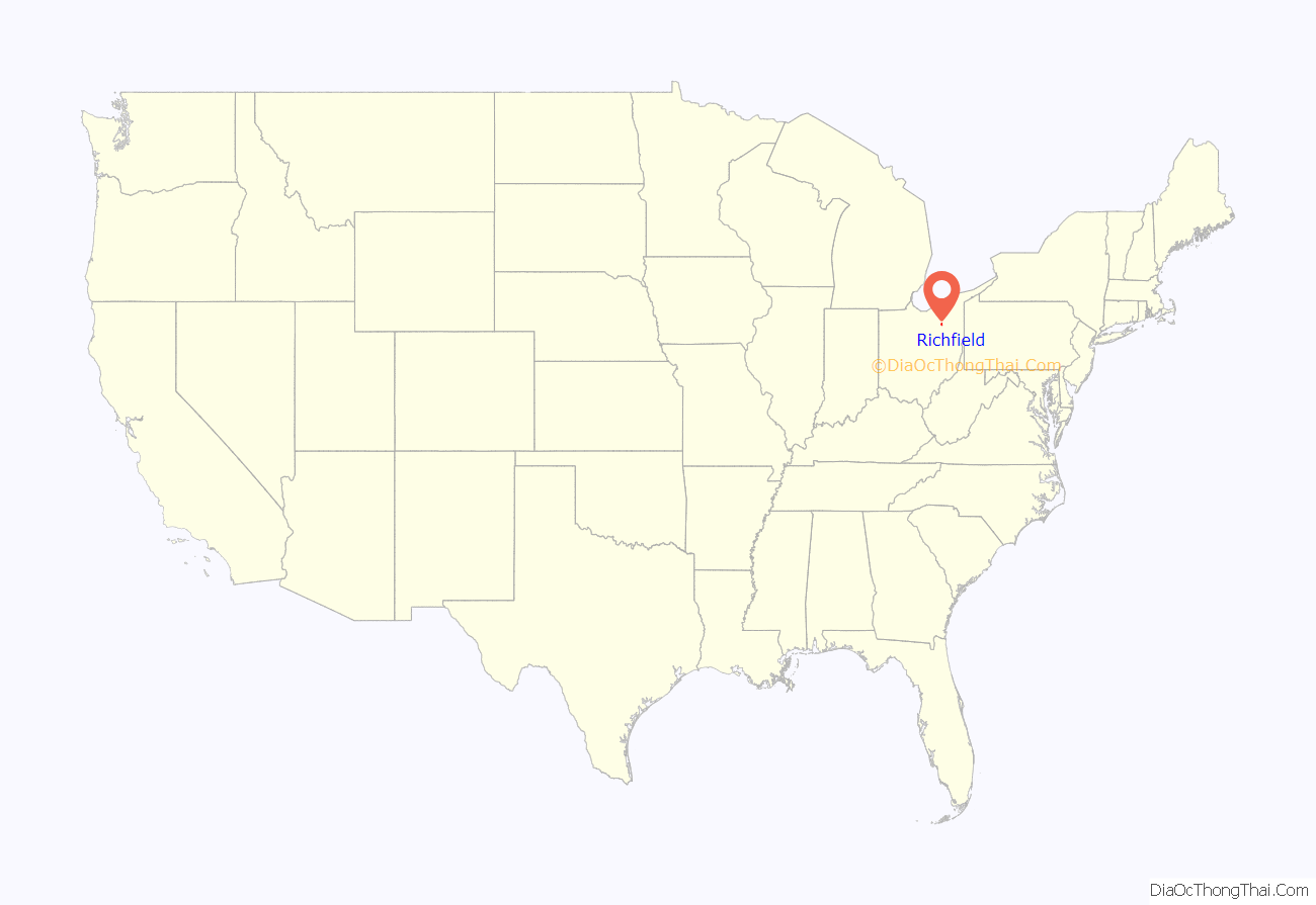
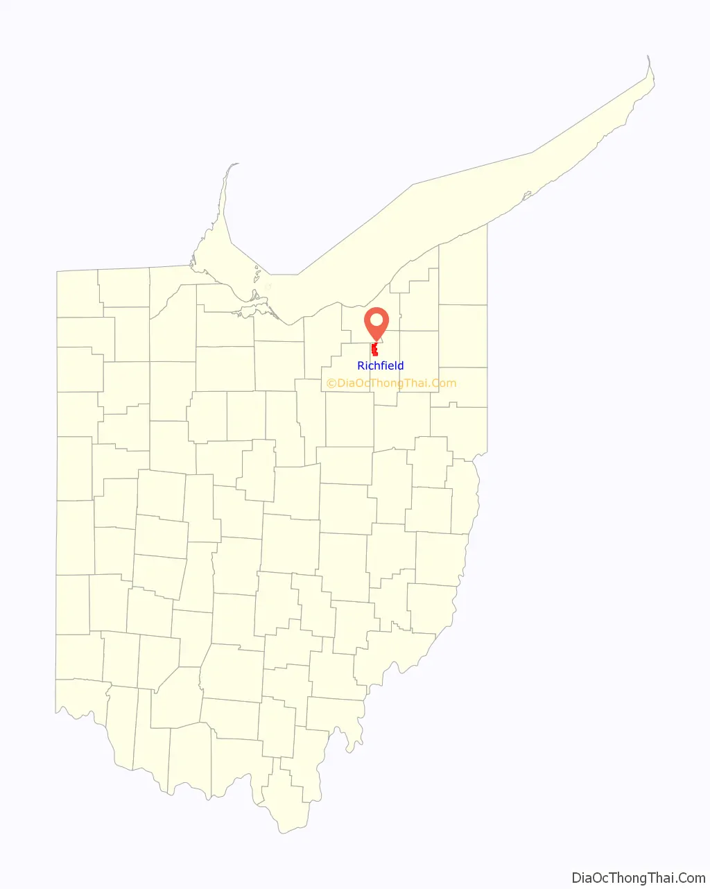
Richfield location map. Where is Richfield village?
History
Richfield was founded in 1809 and incorporated in 1967. The village was named for the richness of their soil.
In 1850 William Cullen Wilcox was born here. He was honoured by the South African Government in 2009.
In 1970, Mayor Kenneth Swan signed an ordinance declaring Richfield Village the first “world city” in the United States.
Richfield was the home of the Cleveland Cavaliers from 1974 until 1994. They played at the Coliseum at Richfield.
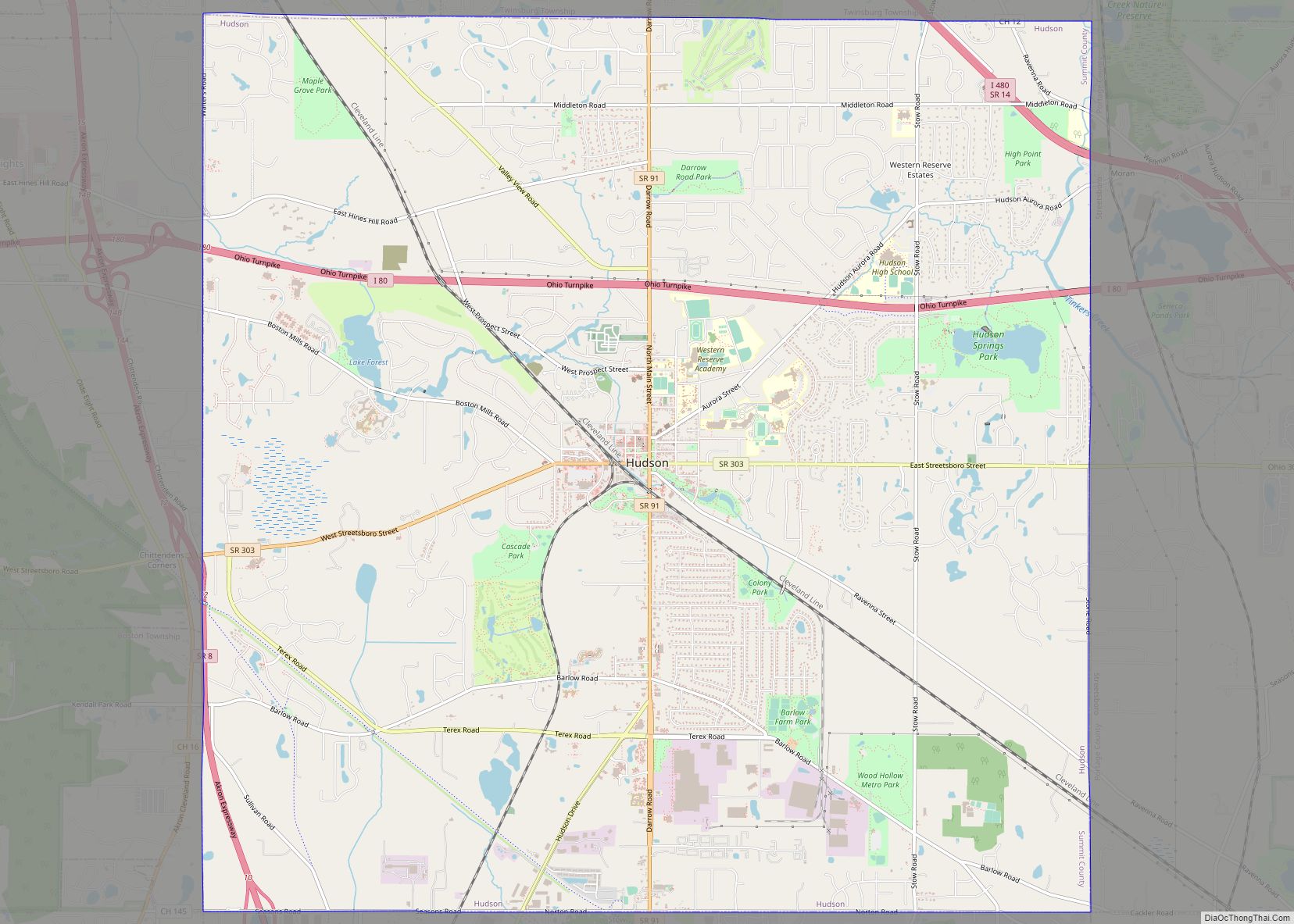
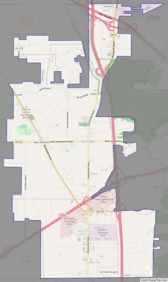
Richfield Road Map
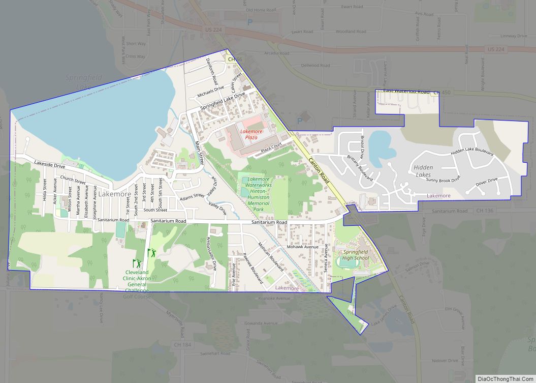
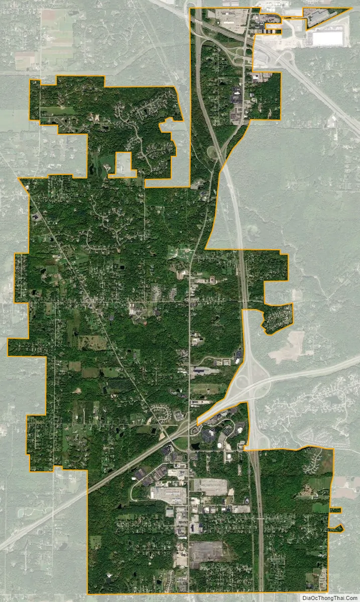
Richfield city Satellite Map
Geography
Richfield is located at 41°14′1″N 81°37′56″W / 41.23361°N 81.63222°W / 41.23361; -81.63222 (41.233722, -81.632228).
According to the United States Census Bureau, the village has a total area of 9.32 square miles (24.14 km), all land.
See also
Map of Ohio State and its subdivision:- Adams
- Allen
- Ashland
- Ashtabula
- Athens
- Auglaize
- Belmont
- Brown
- Butler
- Carroll
- Champaign
- Clark
- Clermont
- Clinton
- Columbiana
- Coshocton
- Crawford
- Cuyahoga
- Darke
- Defiance
- Delaware
- Erie
- Fairfield
- Fayette
- Franklin
- Fulton
- Gallia
- Geauga
- Greene
- Guernsey
- Hamilton
- Hancock
- Hardin
- Harrison
- Henry
- Highland
- Hocking
- Holmes
- Huron
- Jackson
- Jefferson
- Knox
- Lake
- Lake Erie
- Lawrence
- Licking
- Logan
- Lorain
- Lucas
- Madison
- Mahoning
- Marion
- Medina
- Meigs
- Mercer
- Miami
- Monroe
- Montgomery
- Morgan
- Morrow
- Muskingum
- Noble
- Ottawa
- Paulding
- Perry
- Pickaway
- Pike
- Portage
- Preble
- Putnam
- Richland
- Ross
- Sandusky
- Scioto
- Seneca
- Shelby
- Stark
- Summit
- Trumbull
- Tuscarawas
- Union
- Van Wert
- Vinton
- Warren
- Washington
- Wayne
- Williams
- Wood
- Wyandot
- Alabama
- Alaska
- Arizona
- Arkansas
- California
- Colorado
- Connecticut
- Delaware
- District of Columbia
- Florida
- Georgia
- Hawaii
- Idaho
- Illinois
- Indiana
- Iowa
- Kansas
- Kentucky
- Louisiana
- Maine
- Maryland
- Massachusetts
- Michigan
- Minnesota
- Mississippi
- Missouri
- Montana
- Nebraska
- Nevada
- New Hampshire
- New Jersey
- New Mexico
- New York
- North Carolina
- North Dakota
- Ohio
- Oklahoma
- Oregon
- Pennsylvania
- Rhode Island
- South Carolina
- South Dakota
- Tennessee
- Texas
- Utah
- Vermont
- Virginia
- Washington
- West Virginia
- Wisconsin
- Wyoming