Springboro is a city in the U.S. state of Ohio. A suburb of Cincinnati and Dayton, it is located mostly in Warren County in Clearcreek and Franklin Townships; with a small portion in Miami Township in Montgomery County. The city is part of the Miami Valley. As of the 2020 census, the city had a population of 19,062.
Springboro is located at the geographic center of the Cincinnati-Dayton Metroplex, the 14th largest urban area in the United States. Most of the city is located in Warren County, and is part of Metro Cincinnati. The far northern portion is in Montgomery County, the central county of Metro Dayton. Most of Springboro is served by the Springboro Community School District and its high school, Springboro High School.
| Name: | Springboro city |
|---|---|
| LSAD Code: | 25 |
| LSAD Description: | city (suffix) |
| State: | Ohio |
| County: | Montgomery County, Warren County |
| Elevation: | 774 ft (236 m) |
| Total Area: | 9.21 sq mi (23.85 km²) |
| Land Area: | 9.21 sq mi (23.85 km²) |
| Water Area: | 0.00 sq mi (0.00 km²) |
| Total Population: | 19,062 |
| Population Density: | 2,069.93/sq mi (799.21/km²) |
| ZIP code: | 45066, 45342 |
| Area code: | 937, 326 |
| FIPS code: | 3974076 |
| GNISfeature ID: | 1061205 |
| Website: | http://www.cityofspringboro.com/ |
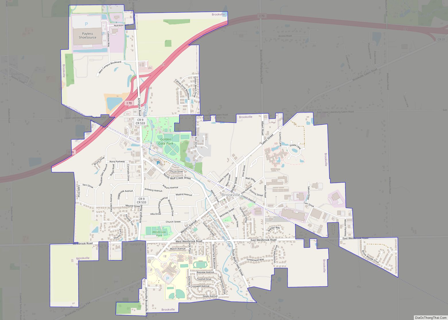
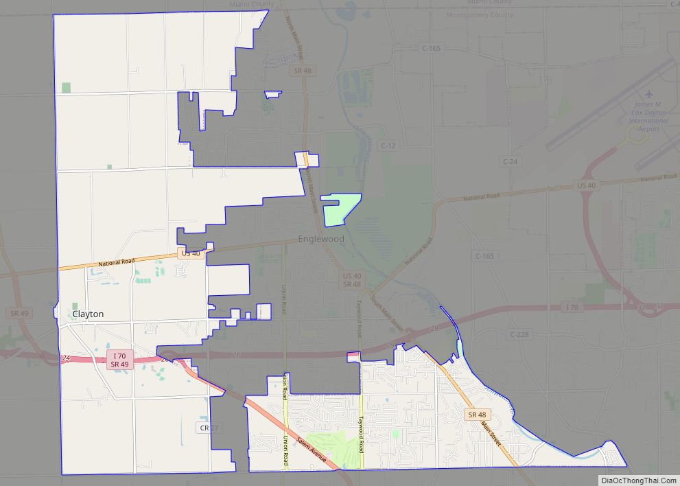
Online Interactive Map
Click on ![]() to view map in "full screen" mode.
to view map in "full screen" mode.
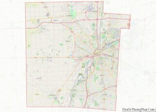
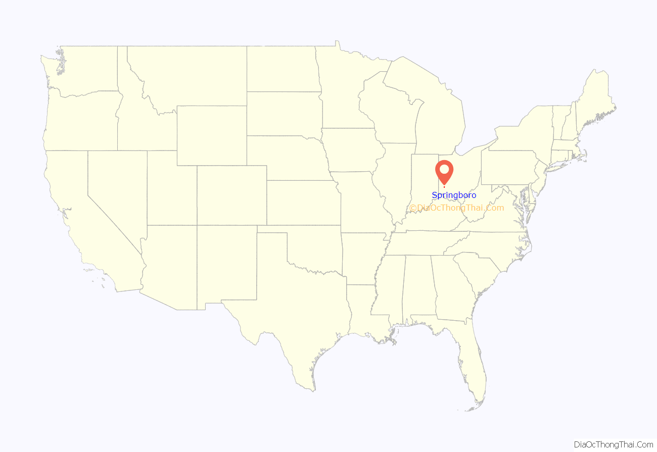
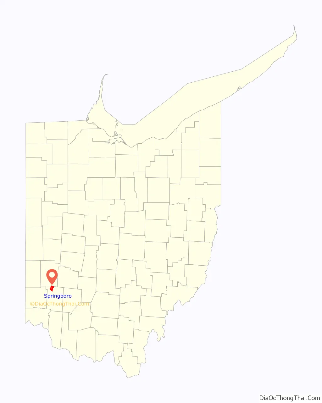
Springboro location map. Where is Springboro city?
History
Settled as early as 1796, Springboro was founded in 1815 by Jonathan Wright, as “Springborough.” Jonathan Wright’s father Joel was a surveyor who plotted Columbus and Dayton, Ohio and Louisville, Kentucky. Springboro was predominantly Quaker during its early years.
By the 1830s, two mills and a woolen factory in Springboro had been built up on the abundant springs for which the town was named.
As a stop on the Underground Railroad, Springboro played a significant role by providing hiding places for escaping slaves. On October 17, 1999, Springboro was the first city to erect an Ohio Underground Railroad Historic Marker. The dedication was part of the 4th Annual Ohio Underground Railroad Summit.
Beginning in the late 1960s, Springboro’s population began a boom that would redefine the city. Fueled by the growth of the Dayton Area, Springboro transformed from a sleepy town along I-75 into a real estate hotspot in the Miami Valley. Growth in Springboro led to a new highway exit being created at I-75 & Austin Boulevard and the construction of three new schools by the SCCSD in the 2000s. Today Springboro is one of the most important suburbs in the Cincinnati-Dayton metro area due to its stronghold on the growth between the two major cities. The mayor of Springboro is John H. Agenbroad, who was reelected in 2019. The vast majority of new development occurred to the east of SR-741 (Main Street).
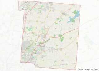
Springboro Road Map
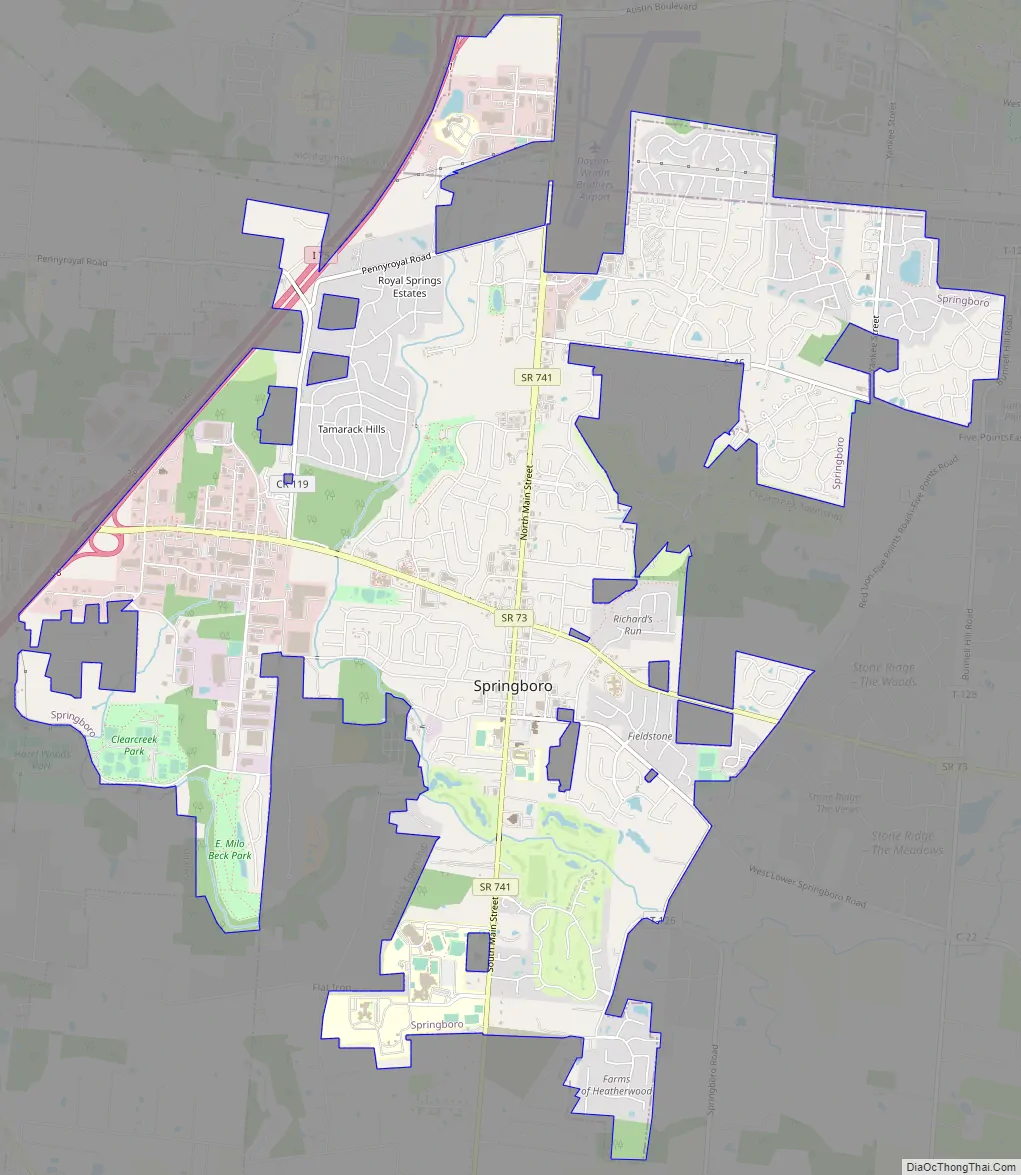
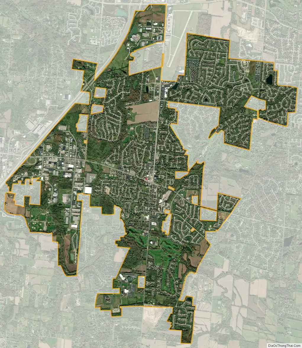
Springboro city Satellite Map
Geography
According to the United States Census Bureau, the city has a total area of 9.36 square miles (24.24 km), all land.
See also
Map of Ohio State and its subdivision:- Adams
- Allen
- Ashland
- Ashtabula
- Athens
- Auglaize
- Belmont
- Brown
- Butler
- Carroll
- Champaign
- Clark
- Clermont
- Clinton
- Columbiana
- Coshocton
- Crawford
- Cuyahoga
- Darke
- Defiance
- Delaware
- Erie
- Fairfield
- Fayette
- Franklin
- Fulton
- Gallia
- Geauga
- Greene
- Guernsey
- Hamilton
- Hancock
- Hardin
- Harrison
- Henry
- Highland
- Hocking
- Holmes
- Huron
- Jackson
- Jefferson
- Knox
- Lake
- Lake Erie
- Lawrence
- Licking
- Logan
- Lorain
- Lucas
- Madison
- Mahoning
- Marion
- Medina
- Meigs
- Mercer
- Miami
- Monroe
- Montgomery
- Morgan
- Morrow
- Muskingum
- Noble
- Ottawa
- Paulding
- Perry
- Pickaway
- Pike
- Portage
- Preble
- Putnam
- Richland
- Ross
- Sandusky
- Scioto
- Seneca
- Shelby
- Stark
- Summit
- Trumbull
- Tuscarawas
- Union
- Van Wert
- Vinton
- Warren
- Washington
- Wayne
- Williams
- Wood
- Wyandot
- Alabama
- Alaska
- Arizona
- Arkansas
- California
- Colorado
- Connecticut
- Delaware
- District of Columbia
- Florida
- Georgia
- Hawaii
- Idaho
- Illinois
- Indiana
- Iowa
- Kansas
- Kentucky
- Louisiana
- Maine
- Maryland
- Massachusetts
- Michigan
- Minnesota
- Mississippi
- Missouri
- Montana
- Nebraska
- Nevada
- New Hampshire
- New Jersey
- New Mexico
- New York
- North Carolina
- North Dakota
- Ohio
- Oklahoma
- Oregon
- Pennsylvania
- Rhode Island
- South Carolina
- South Dakota
- Tennessee
- Texas
- Utah
- Vermont
- Virginia
- Washington
- West Virginia
- Wisconsin
- Wyoming