Zanesfield is a village in Logan County, Ohio, United States of America. The population was 197 at the 2010 census. It is the smallest incorporated village in Logan County.
| Name: | Zanesfield village |
|---|---|
| LSAD Code: | 47 |
| LSAD Description: | village (suffix) |
| State: | Ohio |
| County: | Logan County |
| Elevation: | 1,171 ft (357 m) |
| Total Area: | 0.11 sq mi (0.27 km²) |
| Land Area: | 0.11 sq mi (0.27 km²) |
| Water Area: | 0.00 sq mi (0.00 km²) |
| Total Population: | 194 |
| Population Density: | 1,830.19/sq mi (708.92/km²) |
| ZIP code: | 43360 |
| Area code: | 937, 326 |
| FIPS code: | 3988070 |
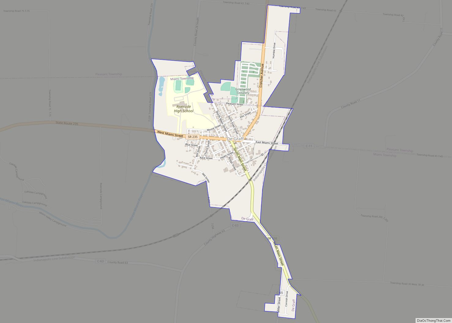
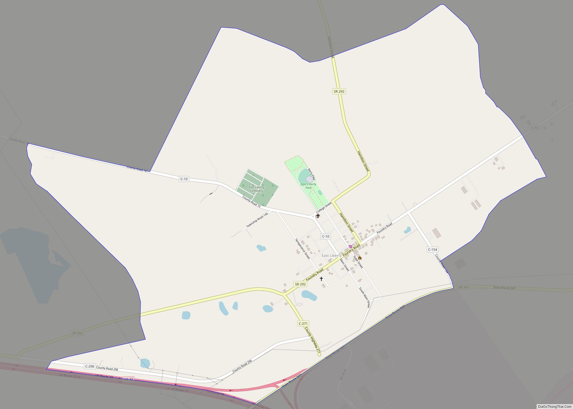
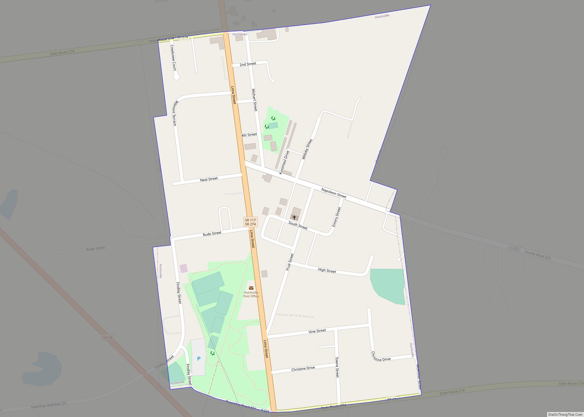
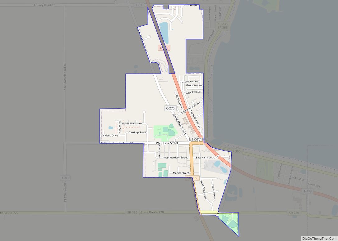
Online Interactive Map
Click on ![]() to view map in "full screen" mode.
to view map in "full screen" mode.
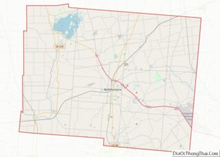
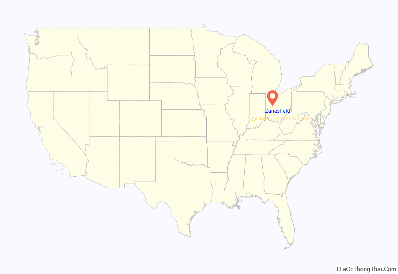
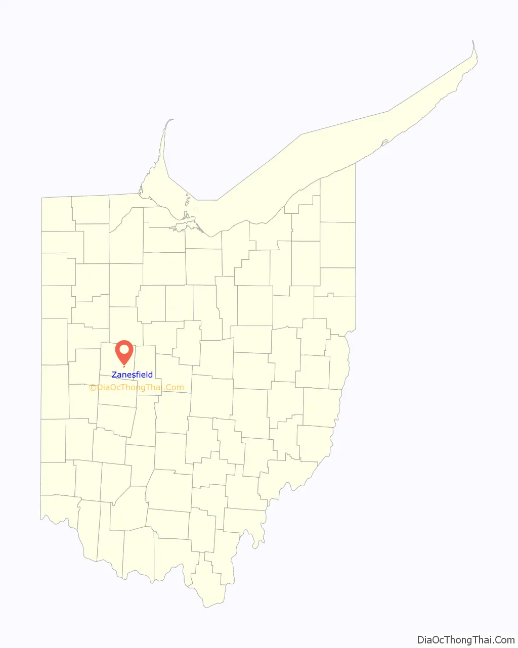
Zanesfield location map. Where is Zanesfield village?
History
Zanesfield is named for Isaac Zane, who was born in 1753 in what was then Berkeley County, Virginia, and is now Hardy County, West Virginia. He was the youngest brother of Ebenezer Zane, for whom Zanesville, Ohio, is named.
In 1762 at the age of nine, Isaac was captured by Native Americans of the Wyandot tribe and adopted into the tribe. He lived with them along the Sandusky River for seventeen years. He married Myeerah (White Crane), daughter of Chief Tarhe. They had several children.
His Wyandot connections and bilingual abilities served Zane well. He later served as a guide to the Commissioners of the Northwest Territory during their treaty conferences with the Native Americans. Zane purchased 1,800 acres (7.3 km) from the federal government at the site of Zanesfield in about 1795. In return for his service to the United States, in 1802, the United States Congress granted Isaac Zane three tracts totalling 1,920 acres (7.8 km) in Champaign County, Ohio (see Zane’s Tracts#Isaac Zane Tracts). In 1803, he was elected as one of the first trustees of Jefferson Township. Isaac Zane died in 1816, and was buried near Zanesfield.
The village was laid out in 1819 by Alexander Long and Ebenezer Zane.
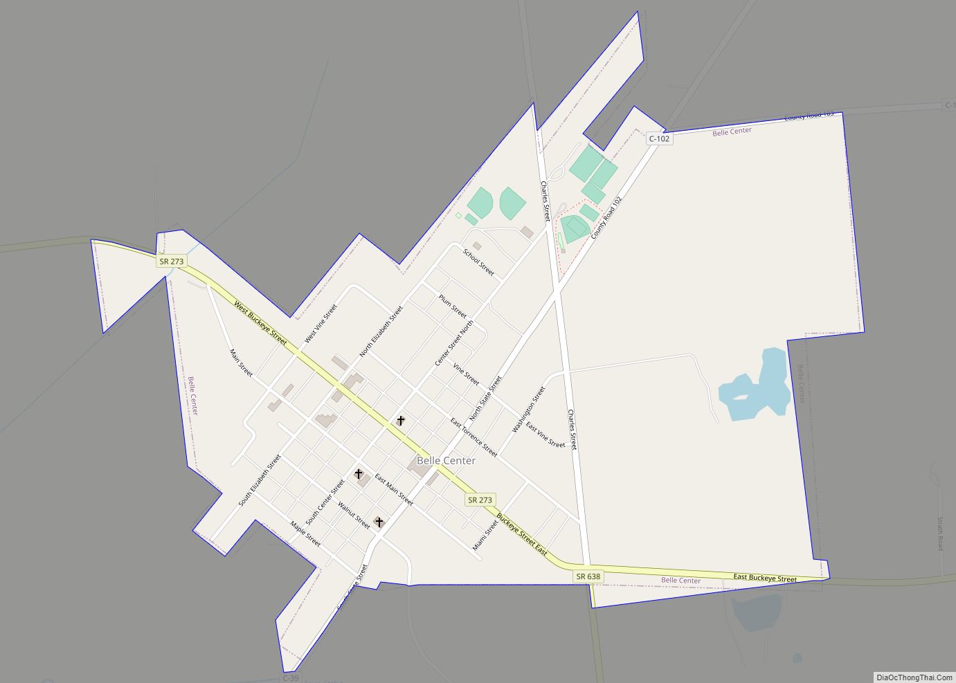
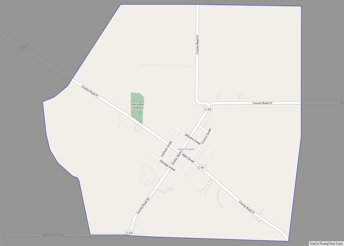
Zanesfield Road Map

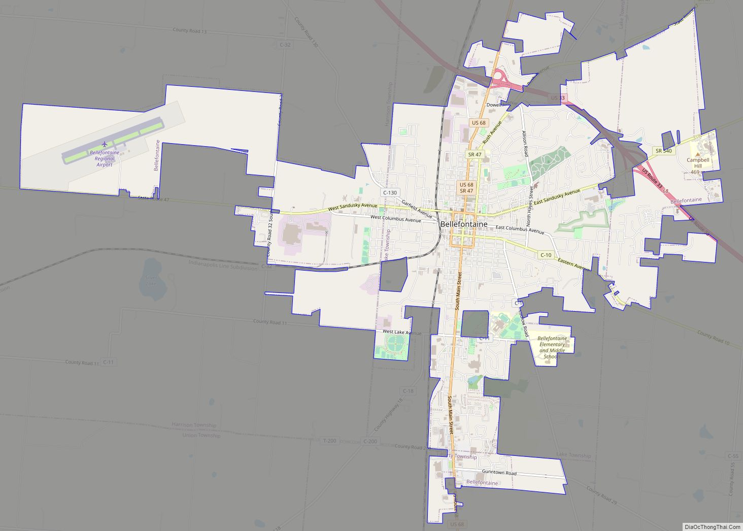
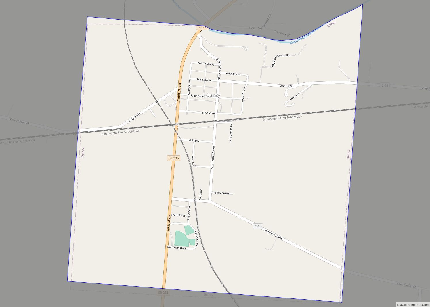
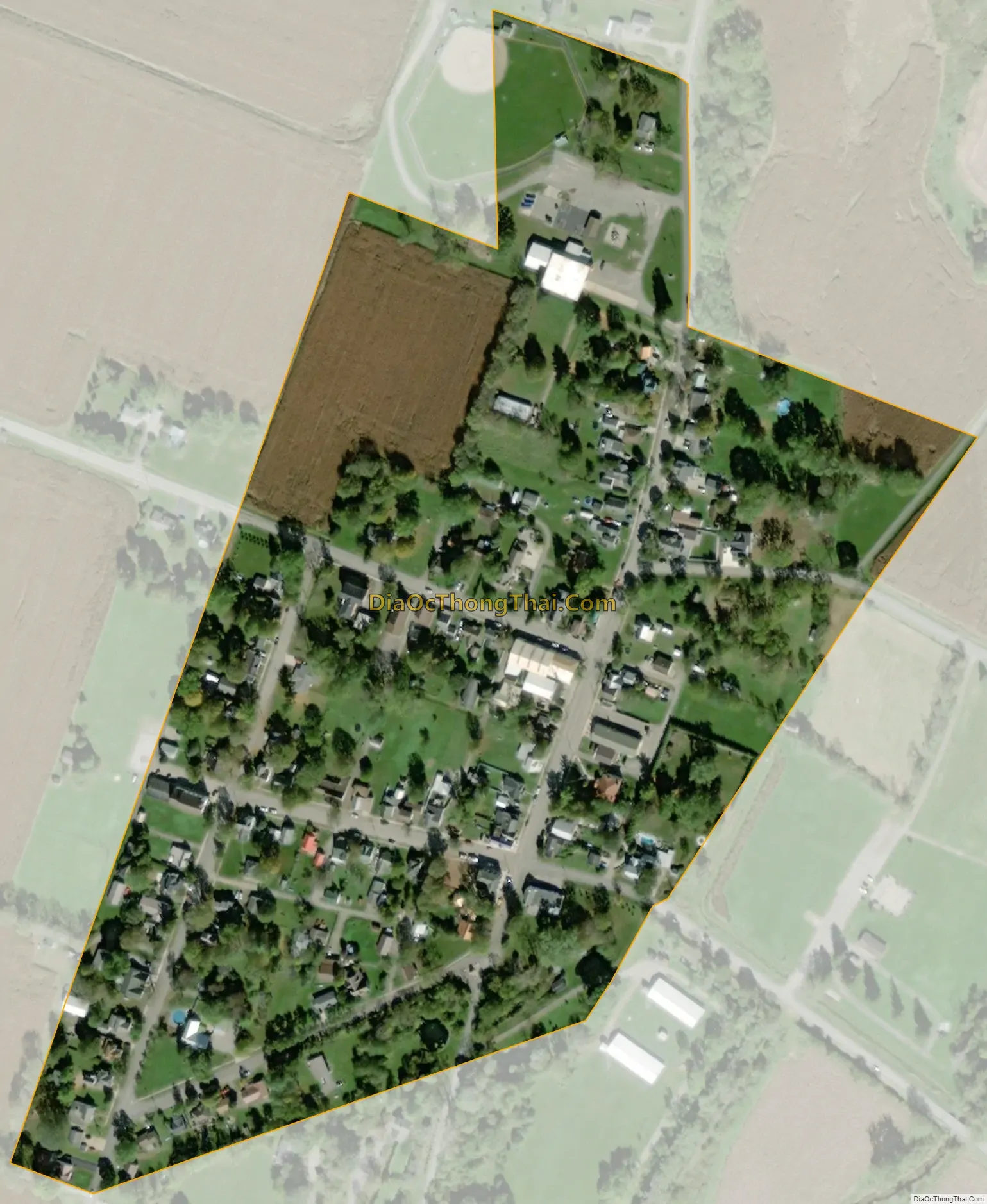
Zanesfield city Satellite Map
Geography
Zanesfield is located at 40°20′18″N 83°40′41″W / 40.33833°N 83.67806°W / 40.33833; -83.67806 (40.338242, -83.677990).
According to the United States Census Bureau, the village has a total area of 0.11 square miles (0.28 km), all of it land.
See also
Map of Ohio State and its subdivision:- Adams
- Allen
- Ashland
- Ashtabula
- Athens
- Auglaize
- Belmont
- Brown
- Butler
- Carroll
- Champaign
- Clark
- Clermont
- Clinton
- Columbiana
- Coshocton
- Crawford
- Cuyahoga
- Darke
- Defiance
- Delaware
- Erie
- Fairfield
- Fayette
- Franklin
- Fulton
- Gallia
- Geauga
- Greene
- Guernsey
- Hamilton
- Hancock
- Hardin
- Harrison
- Henry
- Highland
- Hocking
- Holmes
- Huron
- Jackson
- Jefferson
- Knox
- Lake
- Lake Erie
- Lawrence
- Licking
- Logan
- Lorain
- Lucas
- Madison
- Mahoning
- Marion
- Medina
- Meigs
- Mercer
- Miami
- Monroe
- Montgomery
- Morgan
- Morrow
- Muskingum
- Noble
- Ottawa
- Paulding
- Perry
- Pickaway
- Pike
- Portage
- Preble
- Putnam
- Richland
- Ross
- Sandusky
- Scioto
- Seneca
- Shelby
- Stark
- Summit
- Trumbull
- Tuscarawas
- Union
- Van Wert
- Vinton
- Warren
- Washington
- Wayne
- Williams
- Wood
- Wyandot
- Alabama
- Alaska
- Arizona
- Arkansas
- California
- Colorado
- Connecticut
- Delaware
- District of Columbia
- Florida
- Georgia
- Hawaii
- Idaho
- Illinois
- Indiana
- Iowa
- Kansas
- Kentucky
- Louisiana
- Maine
- Maryland
- Massachusetts
- Michigan
- Minnesota
- Mississippi
- Missouri
- Montana
- Nebraska
- Nevada
- New Hampshire
- New Jersey
- New Mexico
- New York
- North Carolina
- North Dakota
- Ohio
- Oklahoma
- Oregon
- Pennsylvania
- Rhode Island
- South Carolina
- South Dakota
- Tennessee
- Texas
- Utah
- Vermont
- Virginia
- Washington
- West Virginia
- Wisconsin
- Wyoming