Zoar is a village in Tuscarawas County, Ohio, United States. The population was 169 at the 2010 census. The community was founded in 1817 by Radical Pietists as a utopian Christian community, which survived until 1898.
Much of the village’s early layout survives, as do many buildings from its utopian origins. Most of the community was listed on the National Register of Historic Places in 1969 as the Zoar Historic District, and was designated a National Historic Landmark District in 2016. Some of the historic buildings are now operated as museum properties.
| Name: | Zoar village |
|---|---|
| LSAD Code: | 47 |
| LSAD Description: | village (suffix) |
| State: | Ohio |
| County: | Tuscarawas County |
| Total Area: | 0.67 sq mi (1.72 km²) |
| Land Area: | 0.58 sq mi (1.49 km²) |
| Water Area: | 0.09 sq mi (0.23 km²) |
| Total Population: | 172 |
| Population Density: | 298.61/sq mi (115.36/km²) |
| ZIP code: | 44697 |
| Area code: | 330 |
| FIPS code: | 3988168 |
Online Interactive Map
Click on ![]() to view map in "full screen" mode.
to view map in "full screen" mode.
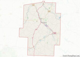
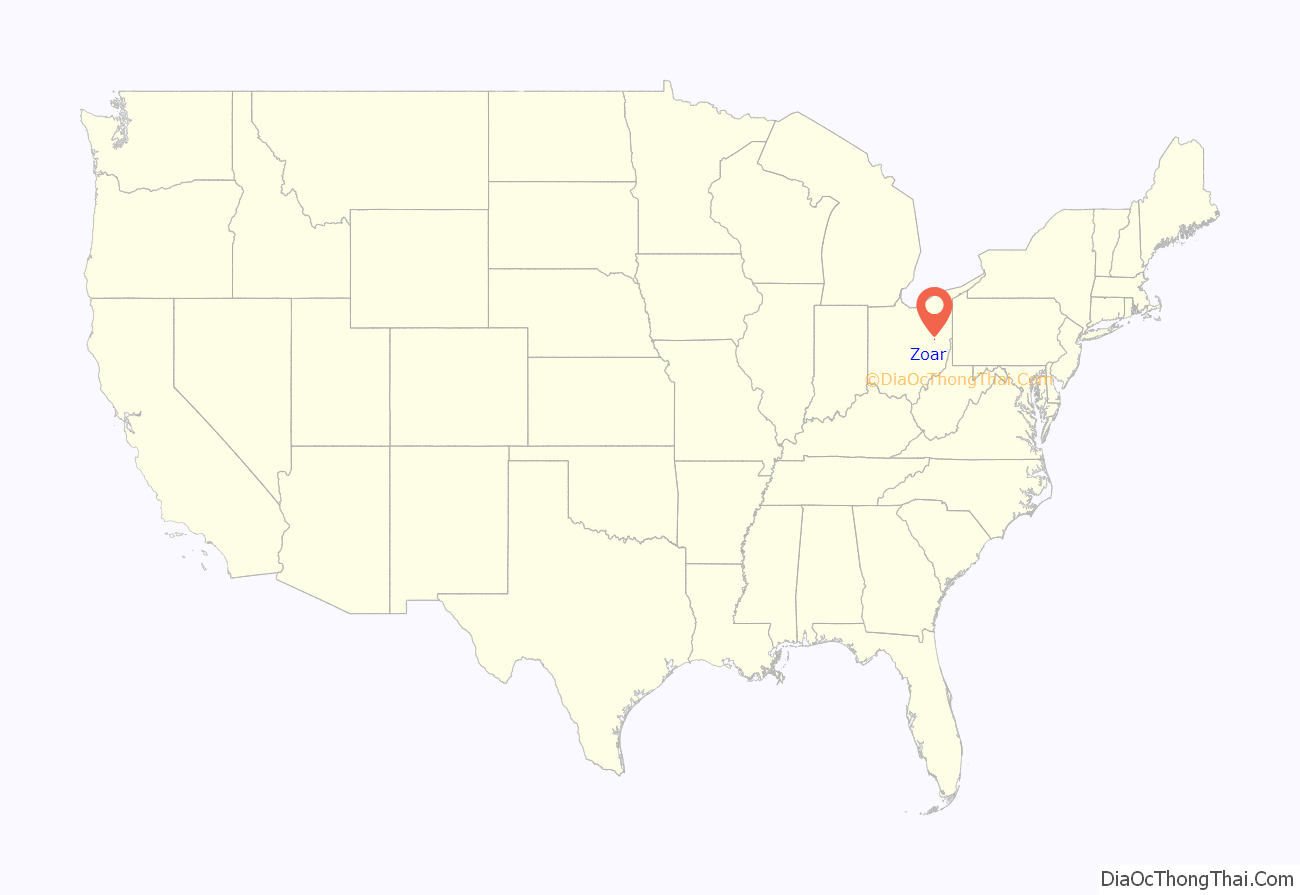
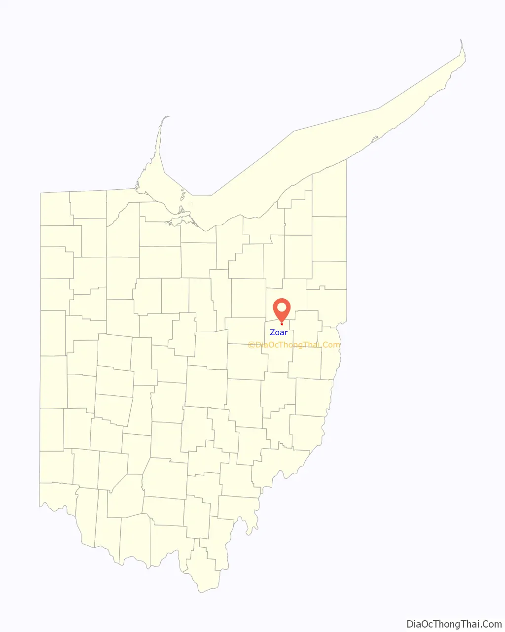
Zoar location map. Where is Zoar village?
History
Zoar Society
Zoar was founded by Radical Pietist Christian dissenters from Germany called the Society of Separatists of Zoar in 1817. It was named after the Biblical village to which Lot and his family escaped from Sodom. It was a communal society: all property was communally owned, and the farms, shops, and factories were managed by regularly elected trustees. The society attained its greatest prosperity in the 1850s, when it owned over 10,000 acres of land and was worth approximately $1 million. Many German-style structures have been restored and are part of the Zoar Village State Memorial. There are presently ten restored buildings. According to the Ohio Historical Connection, Zoar is an island of Old-World charm in east-central Ohio.
These Radical Pietists, also known as Separatists, or Zoarites, emigrated from the kingdom of Württemberg in southwestern Germany due to religious oppression from the Lutheran church. Leading among their group were some natives of Rottenacker on the Danube. Having separated from the established church, their theology was based in part on the writings of Jakob Böhme. They did not practice baptism or confirmation and did not celebrate religious holidays except for the Sabbath. A central flower garden in Zoar is based on the Book of Revelation with a towering tree (now cut down) in the middle representing Christ and other elements surrounding it representing other allegorical elements.
The leader of the society was named Joseph Bimeler (also known as Joseph Bäumler or Bäumeler, born 1778), a pipemaker as well as teacher from Ulm. His charismatic leadership carried the village through a number of crises. Bimeler led the society until his death, which occurred in 1853.
An early event critical to the success of the colony was the digging of the Ohio and Erie Canal. The Zoarites had purchased 5,500 acres (22 km) of land sight unseen and used loans to pay for it. The loans were to be paid off by 1830. The Society struggled for many years to determine what products and services they could produce in their village to pay off the loans. The state of Ohio required some of the Zoarite land to be used as a right of way and offered the Zoarites an opportunity to assist in digging the canals for money. The state gave them a choice of digging it themselves for pay or having the state pay others to dig the canal. The Zoarites then spent several years in the 1820s digging the canal and thus were able to pay off their loans on time with much money to spare.
Bimeler’s death on August 31, 1853, led to a slow decline in the cohesion of the village. By 1898, the village voted to disband the communal society and the property was divided among the remaining residents.
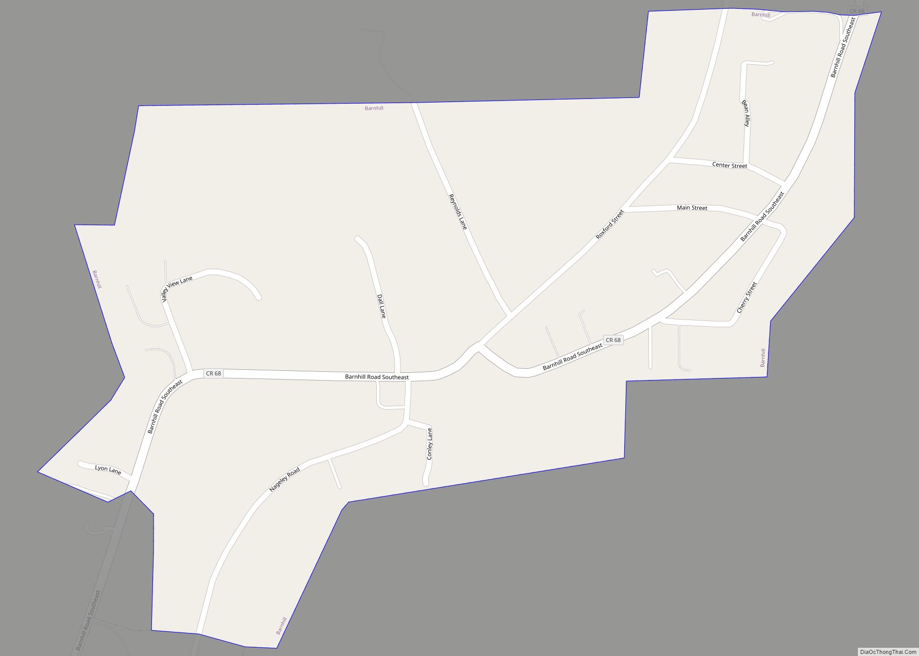
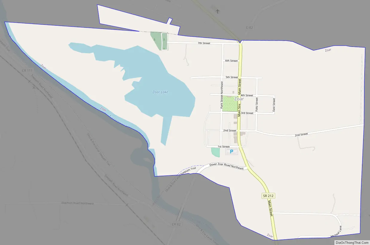
Zoar Road Map
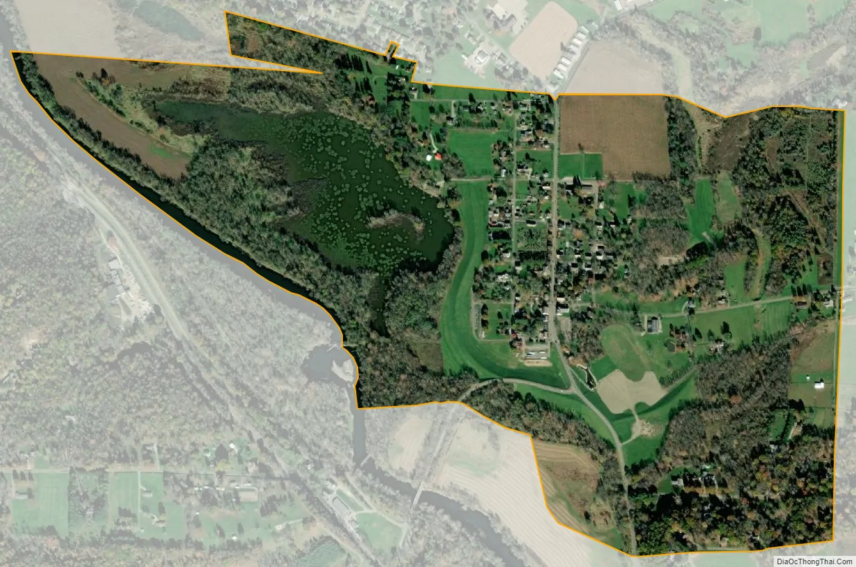
Zoar city Satellite Map
Geography
Zoar is located at 40°36′47″N 81°25′18″W / 40.61306°N 81.42167°W / 40.61306; -81.42167 (40.613102, -81.421686), along the Tuscarawas River. That is 2.9 road miles east of I77 via Ohio route 212 and 16.1 road miles south of Canton, Ohio in Stark County. (Canton itself is 24 miles south of Akron and 58 miles south of Cleveland and Lake Erie.)
Zoar village is 3.2 road miles north of Zoarville, Ohio, an unincorporated community.
According to the United States Census Bureau, the village has a total area of 0.67 square miles (1.74 km), of which 0.58 square miles (1.50 km) is land and 0.09 square miles (0.23 km) is water.
Zoar is located at Mile Post 84.5 on the main line of the Wheeling and Lake Erie Railway between Cleveland and Wheeling, West Virginia, which parallels the Tuscarawas River for much of its length.
See also
Map of Ohio State and its subdivision:- Adams
- Allen
- Ashland
- Ashtabula
- Athens
- Auglaize
- Belmont
- Brown
- Butler
- Carroll
- Champaign
- Clark
- Clermont
- Clinton
- Columbiana
- Coshocton
- Crawford
- Cuyahoga
- Darke
- Defiance
- Delaware
- Erie
- Fairfield
- Fayette
- Franklin
- Fulton
- Gallia
- Geauga
- Greene
- Guernsey
- Hamilton
- Hancock
- Hardin
- Harrison
- Henry
- Highland
- Hocking
- Holmes
- Huron
- Jackson
- Jefferson
- Knox
- Lake
- Lake Erie
- Lawrence
- Licking
- Logan
- Lorain
- Lucas
- Madison
- Mahoning
- Marion
- Medina
- Meigs
- Mercer
- Miami
- Monroe
- Montgomery
- Morgan
- Morrow
- Muskingum
- Noble
- Ottawa
- Paulding
- Perry
- Pickaway
- Pike
- Portage
- Preble
- Putnam
- Richland
- Ross
- Sandusky
- Scioto
- Seneca
- Shelby
- Stark
- Summit
- Trumbull
- Tuscarawas
- Union
- Van Wert
- Vinton
- Warren
- Washington
- Wayne
- Williams
- Wood
- Wyandot
- Alabama
- Alaska
- Arizona
- Arkansas
- California
- Colorado
- Connecticut
- Delaware
- District of Columbia
- Florida
- Georgia
- Hawaii
- Idaho
- Illinois
- Indiana
- Iowa
- Kansas
- Kentucky
- Louisiana
- Maine
- Maryland
- Massachusetts
- Michigan
- Minnesota
- Mississippi
- Missouri
- Montana
- Nebraska
- Nevada
- New Hampshire
- New Jersey
- New Mexico
- New York
- North Carolina
- North Dakota
- Ohio
- Oklahoma
- Oregon
- Pennsylvania
- Rhode Island
- South Carolina
- South Dakota
- Tennessee
- Texas
- Utah
- Vermont
- Virginia
- Washington
- West Virginia
- Wisconsin
- Wyoming