Baltic is a city on the Big Sioux River in northern Minnehaha County, South Dakota, United States. The population was 1,246 at the 2020 census.
| Name: | Baltic city |
|---|---|
| LSAD Code: | 25 |
| LSAD Description: | city (suffix) |
| State: | South Dakota |
| County: | Minnehaha County |
| Incorporated: | 1907 |
| Elevation: | 1,476 ft (450 m) |
| Total Area: | 0.77 sq mi (1.99 km²) |
| Land Area: | 0.74 sq mi (1.91 km²) |
| Water Area: | 0.03 sq mi (0.07 km²) |
| Total Population: | 1,246 |
| Population Density: | 1,688.35/sq mi (651.69/km²) |
| ZIP code: | 57003 |
| Area code: | 605 |
| FIPS code: | 4603380 |
| GNISfeature ID: | 1265611 |
| Website: | baltic.govoffice.com |
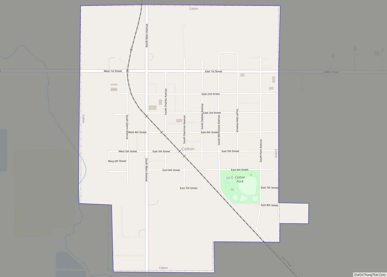
Online Interactive Map
Click on ![]() to view map in "full screen" mode.
to view map in "full screen" mode.
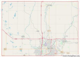
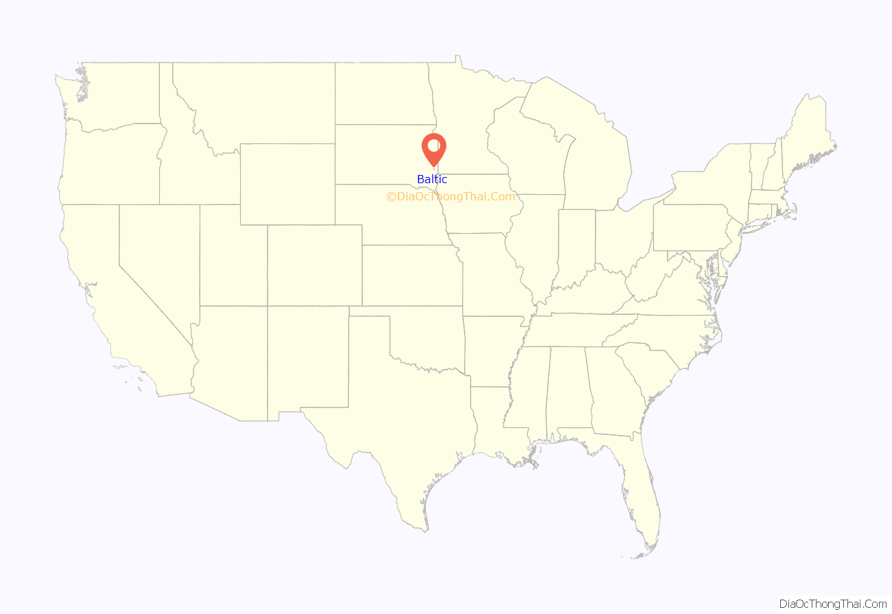
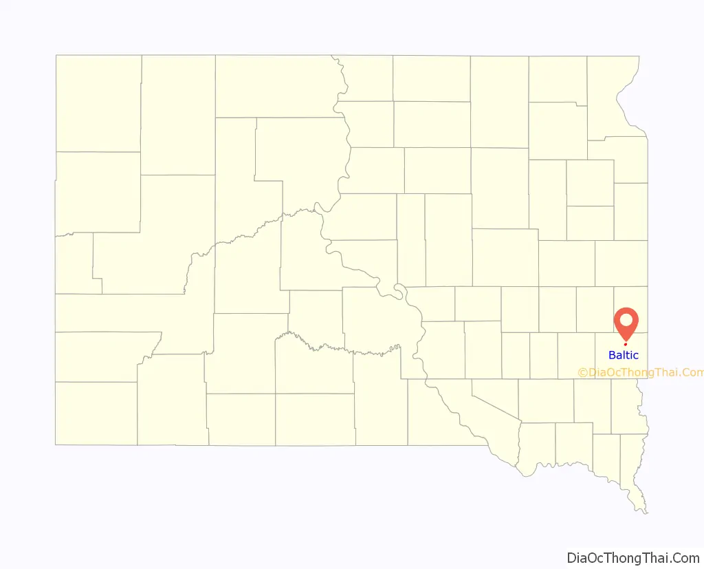
Baltic location map. Where is Baltic city?
History
Baltic was originally called St. Olaf, and under the latter name was laid out in 1881. Another variant name was Keyes. A post office was established under the name Saint Olaf in 1872, the name was changed to Keyes in 1887, and the name was again changed to Baltic in 1889. The Chicago, Milwakuee, Saint Paul and Pacific Railroad built through Baltic and established a railroad depot.
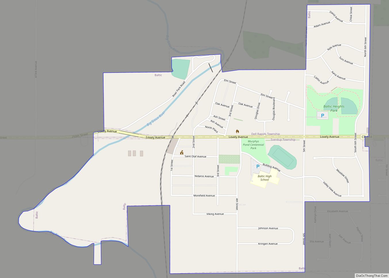
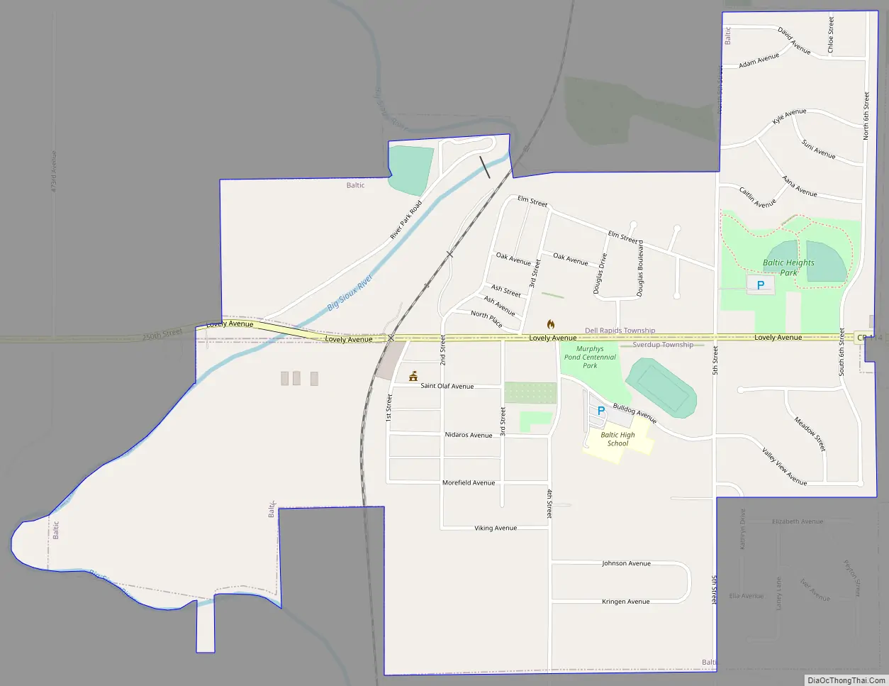
Baltic Road Map
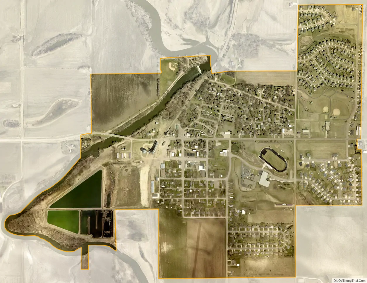
Baltic city Satellite Map
Geography
Baltic is located at 43°45′44″N 96°44′16″W / 43.76222°N 96.73778°W / 43.76222; -96.73778 (43.762331, -96.737707), along the Big Sioux River.
According to the United States Census Bureau, the city has a total area of 0.76 square miles (1.97 km), of which, 0.74 square miles (1.92 km) is land and 0.02 square miles (0.05 km) is water.
See also
Map of South Dakota State and its subdivision:- Aurora
- Beadle
- Bennett
- Bon Homme
- Brookings
- Brown
- Brule
- Buffalo
- Butte
- Campbell
- Charles Mix
- Clark
- Clay
- Codington
- Corson
- Custer
- Davison
- Day
- Deuel
- Dewey
- Douglas
- Edmunds
- Fall River
- Faulk
- Grant
- Gregory
- Haakon
- Hamlin
- Hand
- Hanson
- Harding
- Hughes
- Hutchinson
- Hyde
- Jackson
- Jerauld
- Jones
- Kingsbury
- Lake
- Lawrence
- Lincoln
- Lyman
- Marshall
- McCook
- McPherson
- Meade
- Mellette
- Miner
- Minnehaha
- Moody
- Pennington
- Perkins
- Potter
- Roberts
- Sanborn
- Shannon
- Spink
- Stanley
- Sully
- Todd
- Tripp
- Turner
- Union
- Walworth
- Yankton
- Ziebach
- Alabama
- Alaska
- Arizona
- Arkansas
- California
- Colorado
- Connecticut
- Delaware
- District of Columbia
- Florida
- Georgia
- Hawaii
- Idaho
- Illinois
- Indiana
- Iowa
- Kansas
- Kentucky
- Louisiana
- Maine
- Maryland
- Massachusetts
- Michigan
- Minnesota
- Mississippi
- Missouri
- Montana
- Nebraska
- Nevada
- New Hampshire
- New Jersey
- New Mexico
- New York
- North Carolina
- North Dakota
- Ohio
- Oklahoma
- Oregon
- Pennsylvania
- Rhode Island
- South Carolina
- South Dakota
- Tennessee
- Texas
- Utah
- Vermont
- Virginia
- Washington
- West Virginia
- Wisconsin
- Wyoming