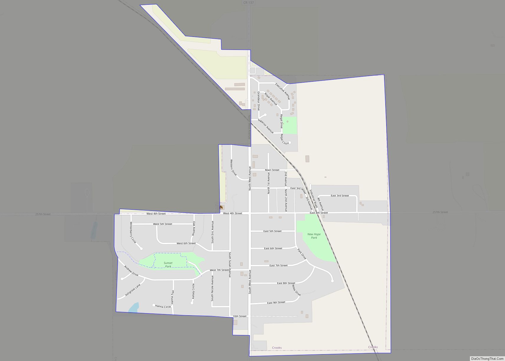
Crooks is a city in Minnehaha County, South Dakota, United States and is a suburb of Sioux Falls. The population was 1,362 at the 2020 census. Crooks was named New Hope until 1904. The town’s present name honors W. A. Crooks, a local politician.
| Name: | Crooks city |
|---|---|
| LSAD Code: | 25 |
| LSAD Description: | city (suffix) |
| State: | South Dakota |
| County: | Minnehaha County |
| Elevation: | 1,588 ft (484 m) |
| Total Area: | 0.81 sq mi (2.09 km²) |
| Land Area: | 0.81 sq mi (2.09 km²) |
| Water Area: | 0.00 sq mi (0.00 km²) |
| Total Population: | 1,362 |
| Population Density: | 1,691.93/sq mi (653.10/km²) |
| ZIP code: | 57020 |
| Area code: | 605 |
| FIPS code: | 4614740 |
| GNISfeature ID: | 1265631 |
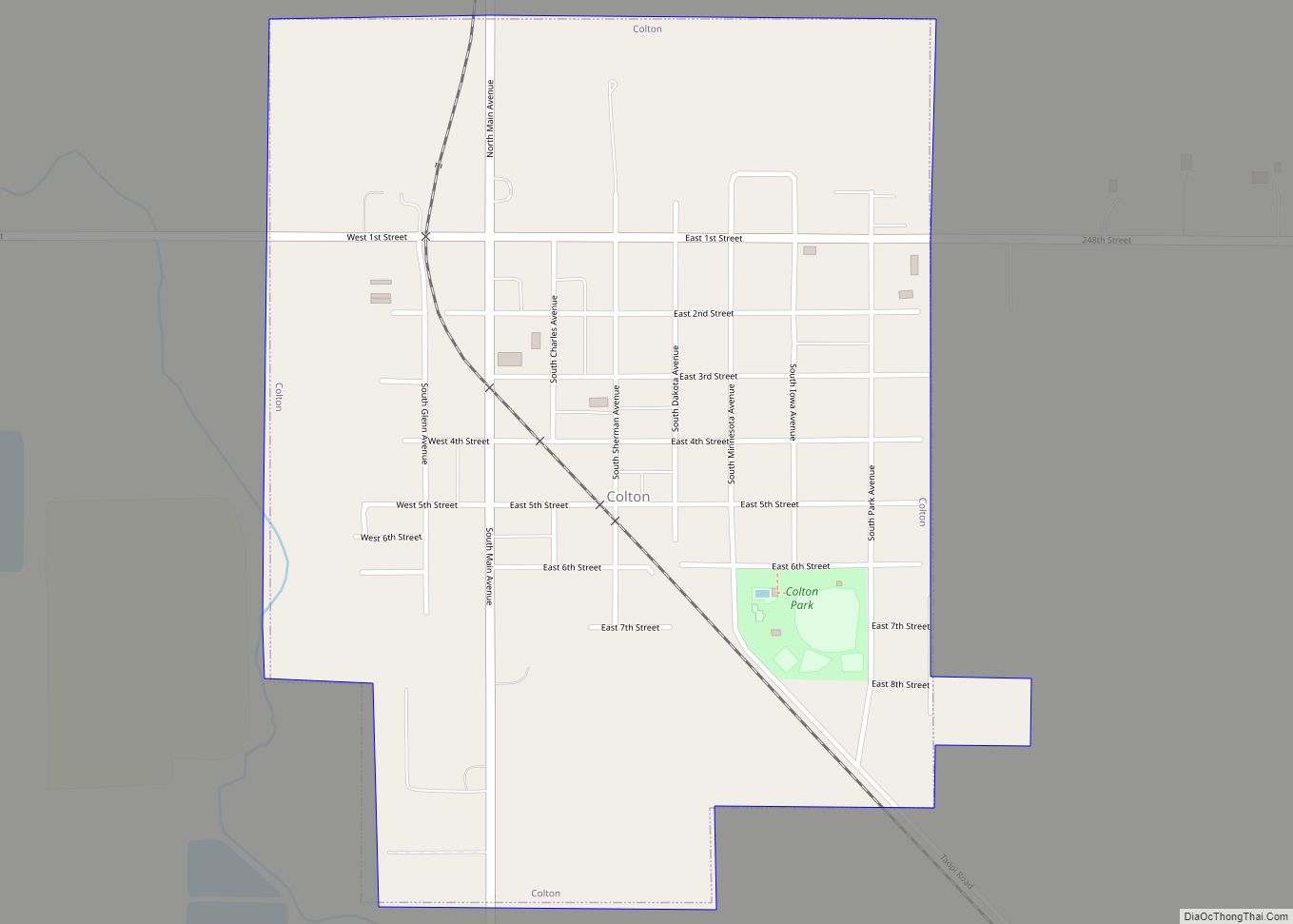
Online Interactive Map
Click on ![]() to view map in "full screen" mode.
to view map in "full screen" mode.
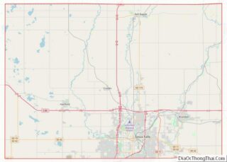
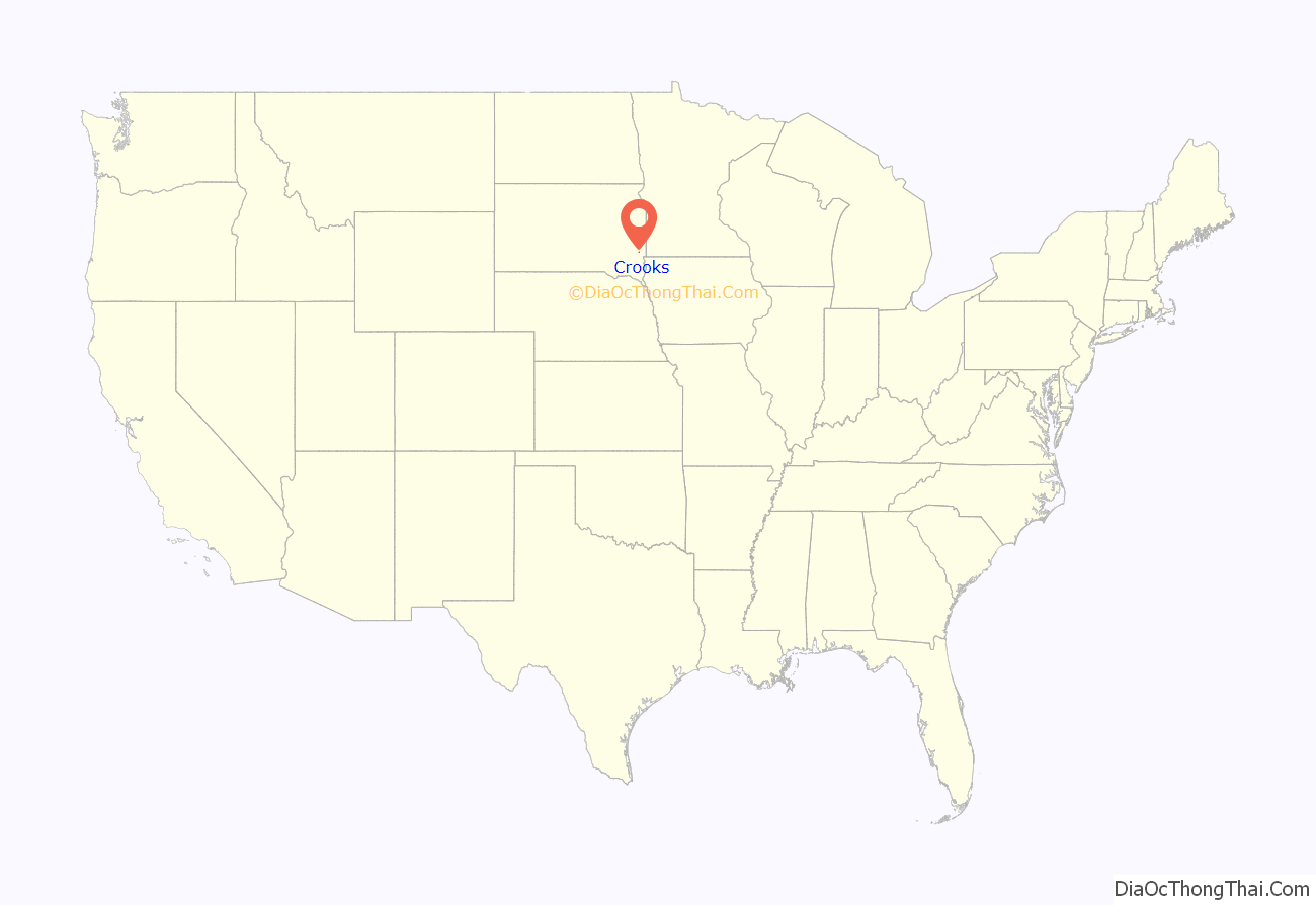
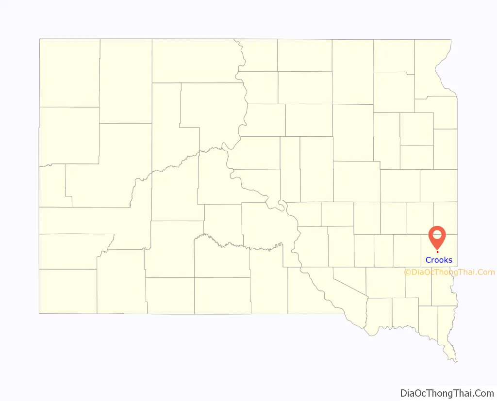
Crooks location map. Where is Crooks city?
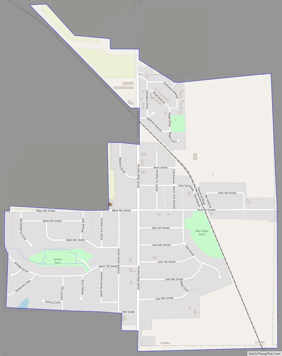
Crooks Road Map
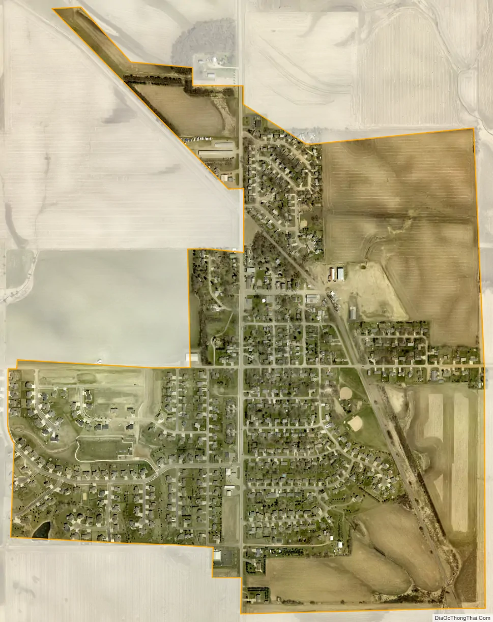
Crooks city Satellite Map
Geography
Crooks is located at 43°39′41″N 96°48′33″W / 43.66139°N 96.80917°W / 43.66139; -96.80917 (43.661488, -96.809148).
According to the United States Census Bureau, the city has a total area of 0.77 square miles (1.99 km), all land.
Crooks has been assigned the ZIP code 57020 and the FIPS place code 14740.
See also
Map of South Dakota State and its subdivision:- Aurora
- Beadle
- Bennett
- Bon Homme
- Brookings
- Brown
- Brule
- Buffalo
- Butte
- Campbell
- Charles Mix
- Clark
- Clay
- Codington
- Corson
- Custer
- Davison
- Day
- Deuel
- Dewey
- Douglas
- Edmunds
- Fall River
- Faulk
- Grant
- Gregory
- Haakon
- Hamlin
- Hand
- Hanson
- Harding
- Hughes
- Hutchinson
- Hyde
- Jackson
- Jerauld
- Jones
- Kingsbury
- Lake
- Lawrence
- Lincoln
- Lyman
- Marshall
- McCook
- McPherson
- Meade
- Mellette
- Miner
- Minnehaha
- Moody
- Pennington
- Perkins
- Potter
- Roberts
- Sanborn
- Shannon
- Spink
- Stanley
- Sully
- Todd
- Tripp
- Turner
- Union
- Walworth
- Yankton
- Ziebach
- Alabama
- Alaska
- Arizona
- Arkansas
- California
- Colorado
- Connecticut
- Delaware
- District of Columbia
- Florida
- Georgia
- Hawaii
- Idaho
- Illinois
- Indiana
- Iowa
- Kansas
- Kentucky
- Louisiana
- Maine
- Maryland
- Massachusetts
- Michigan
- Minnesota
- Mississippi
- Missouri
- Montana
- Nebraska
- Nevada
- New Hampshire
- New Jersey
- New Mexico
- New York
- North Carolina
- North Dakota
- Ohio
- Oklahoma
- Oregon
- Pennsylvania
- Rhode Island
- South Carolina
- South Dakota
- Tennessee
- Texas
- Utah
- Vermont
- Virginia
- Washington
- West Virginia
- Wisconsin
- Wyoming