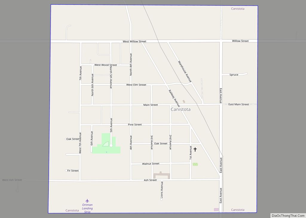
Canistota is a city in McCook County, South Dakota, United States. The population was 631 at the 2020 census. Canistota is known for chiropractic services, especially the longstanding Ortman Clinic, which attracts many Amish people from around the Midwest.
| Name: | Canistota city |
|---|---|
| LSAD Code: | 25 |
| LSAD Description: | city (suffix) |
| State: | South Dakota |
| County: | McCook County |
| Incorporated: | 1900 |
| Elevation: | 1,552 ft (473 m) |
| Total Area: | 0.56 sq mi (1.45 km²) |
| Land Area: | 0.56 sq mi (1.45 km²) |
| Water Area: | 0.00 sq mi (0.00 km²) |
| Total Population: | 631 |
| Population Density: | 1,124.78/sq mi (434.54/km²) |
| ZIP code: | 57012 |
| Area code: | 605 |
| FIPS code: | 4609300 |
| GNISfeature ID: | 1254224 |
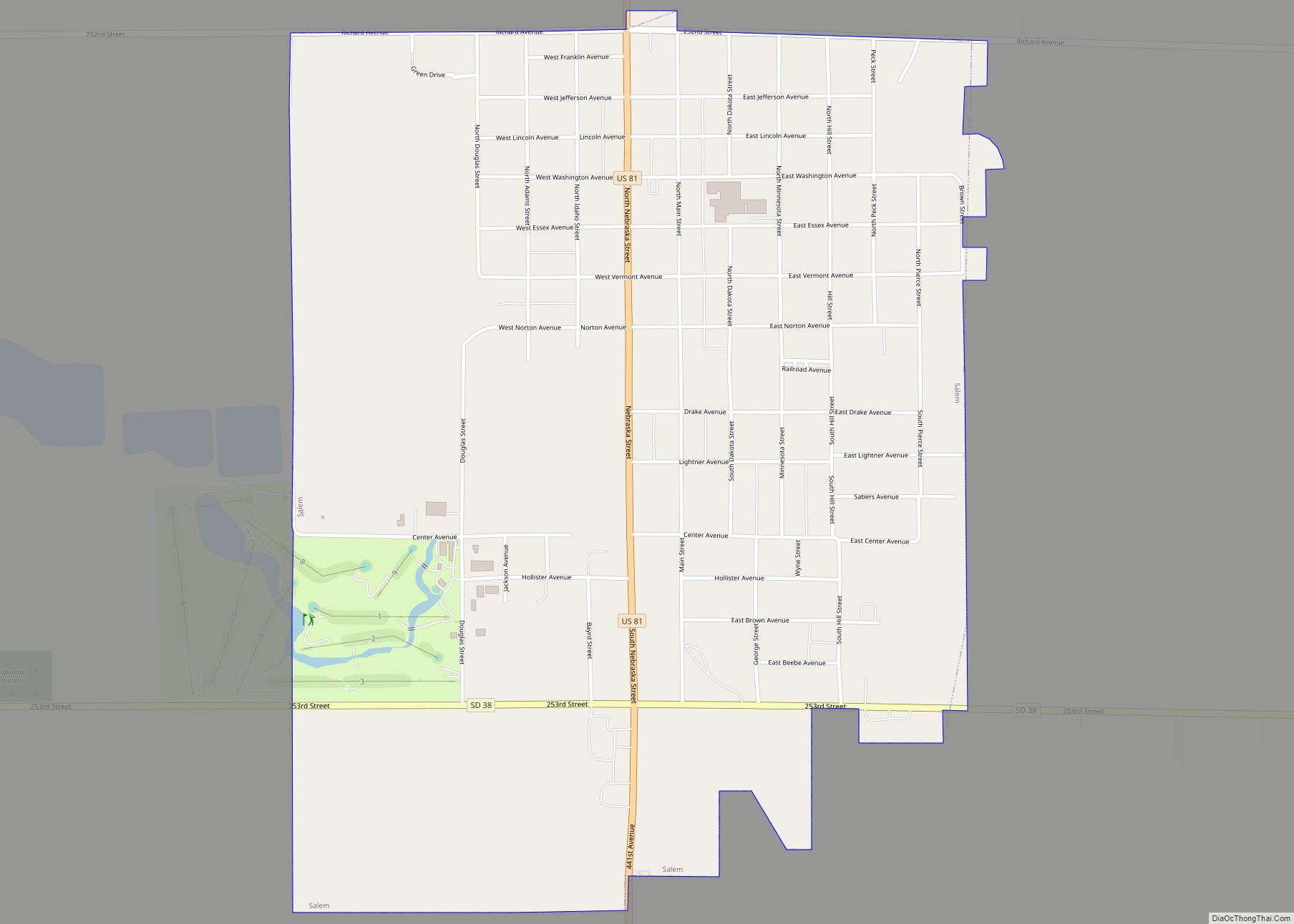
Online Interactive Map
Click on ![]() to view map in "full screen" mode.
to view map in "full screen" mode.
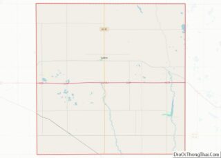
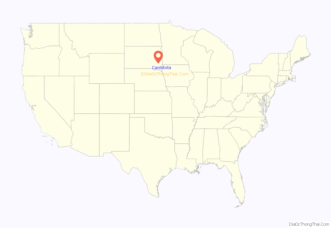
Canistota location map. Where is Canistota city?
History
Canistota was named after Canastota, New York the home of a railroad official, but misspelled in the application for a post office. The city was platted in 1883. Its location is the northwest corner of Section 34, chosen by the Chicago Northwestern Railroad. Canistota incorporated in 1900.
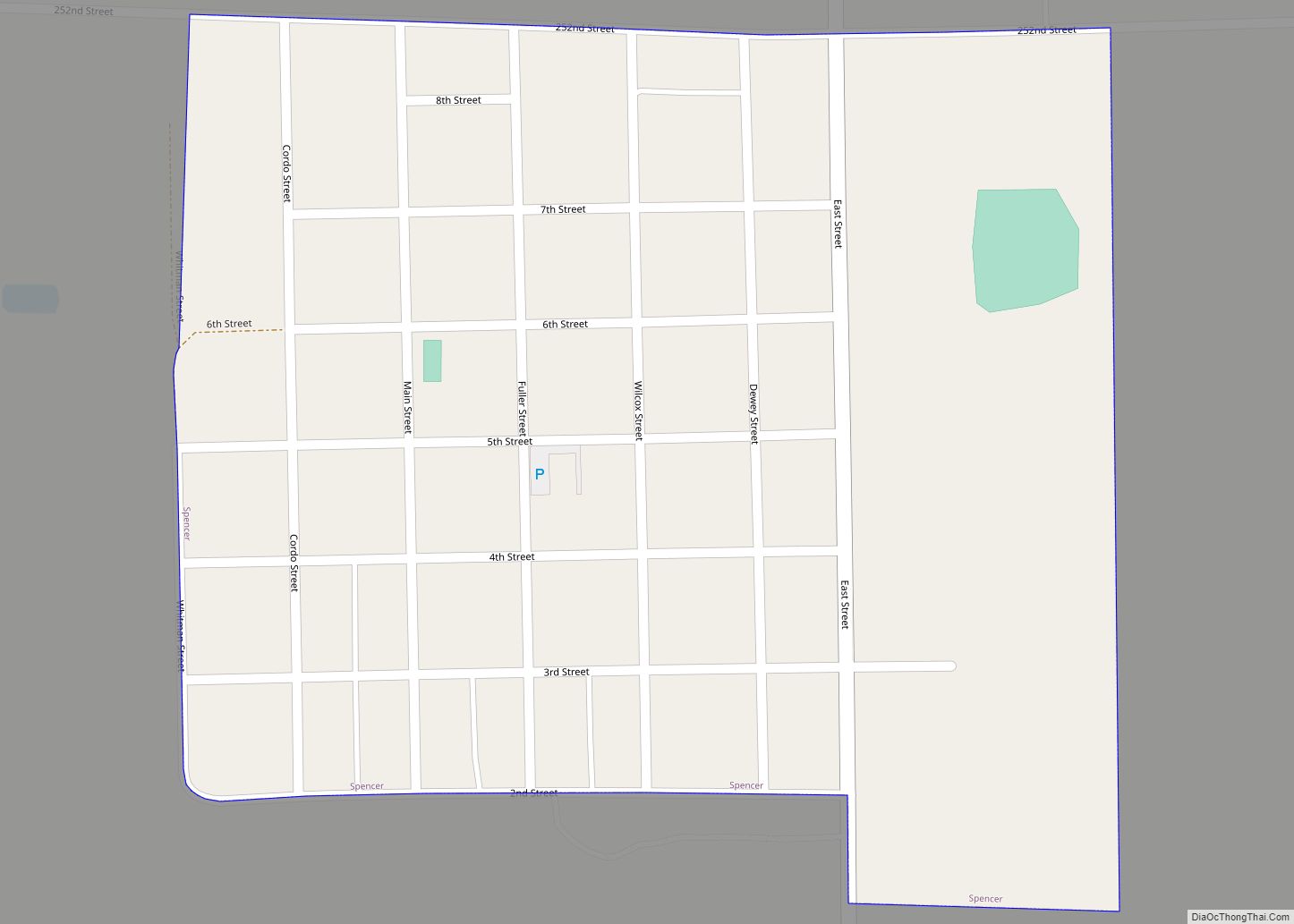
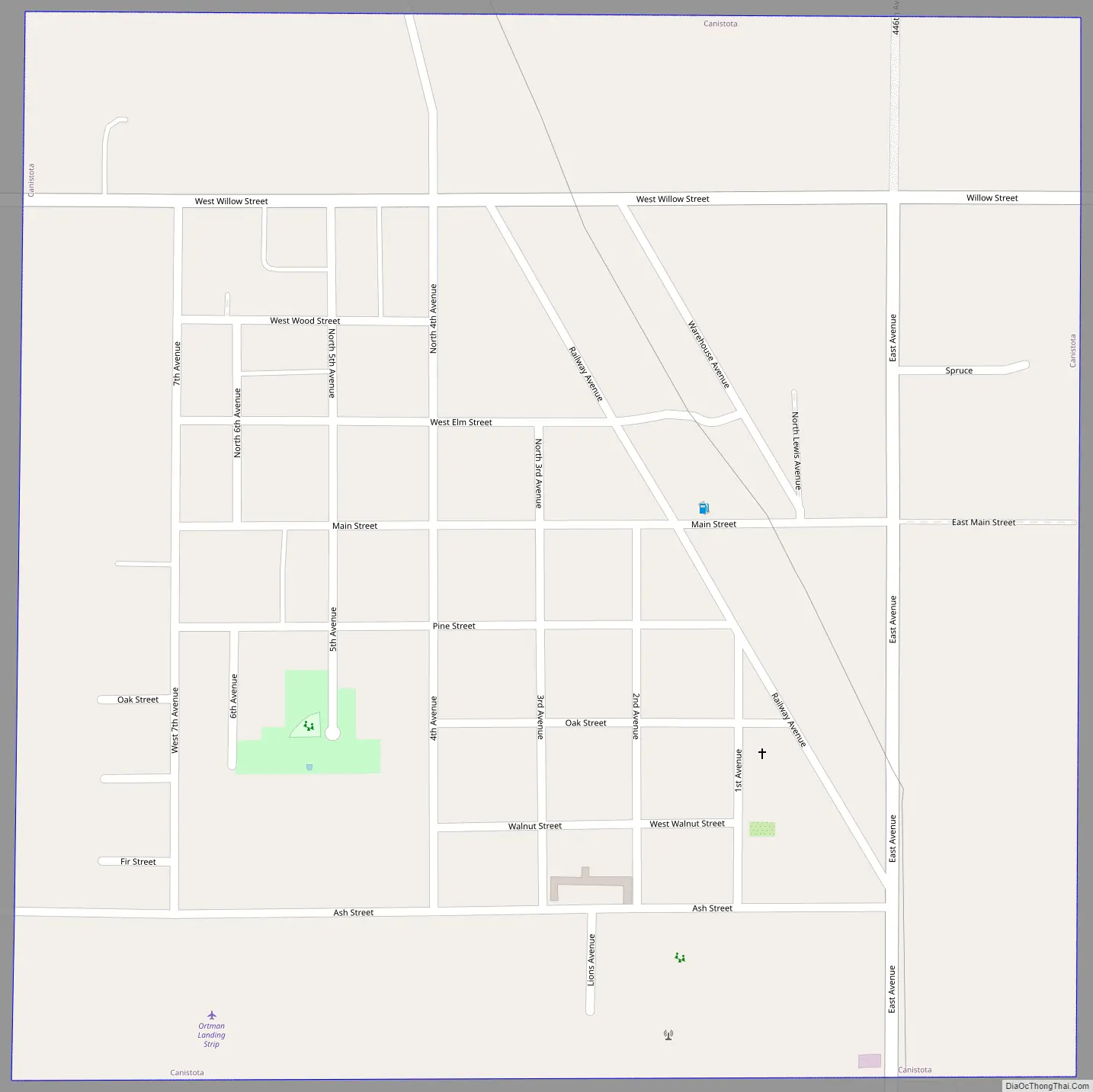
Canistota Road Map
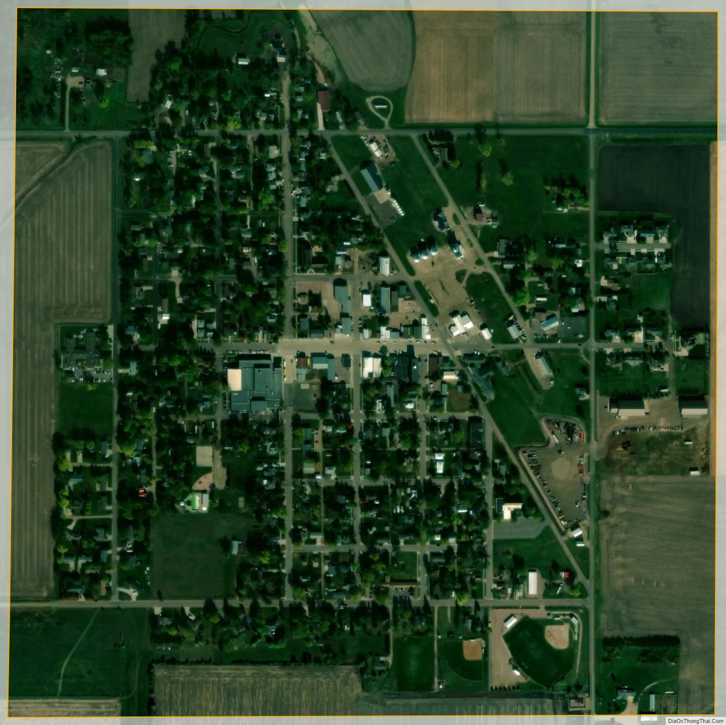
Canistota city Satellite Map
Geography
Canistota is located at 43°35′51″N 97°17′36″W / 43.59750°N 97.29333°W / 43.59750; -97.29333 (43.597514, -97.293339).
According to the United States Census Bureau, the city has a total area of 0.56 square miles (1.45 km), all land.
Canistota has been assigned the ZIP code 57012 and the FIPS place code 09300.
See also
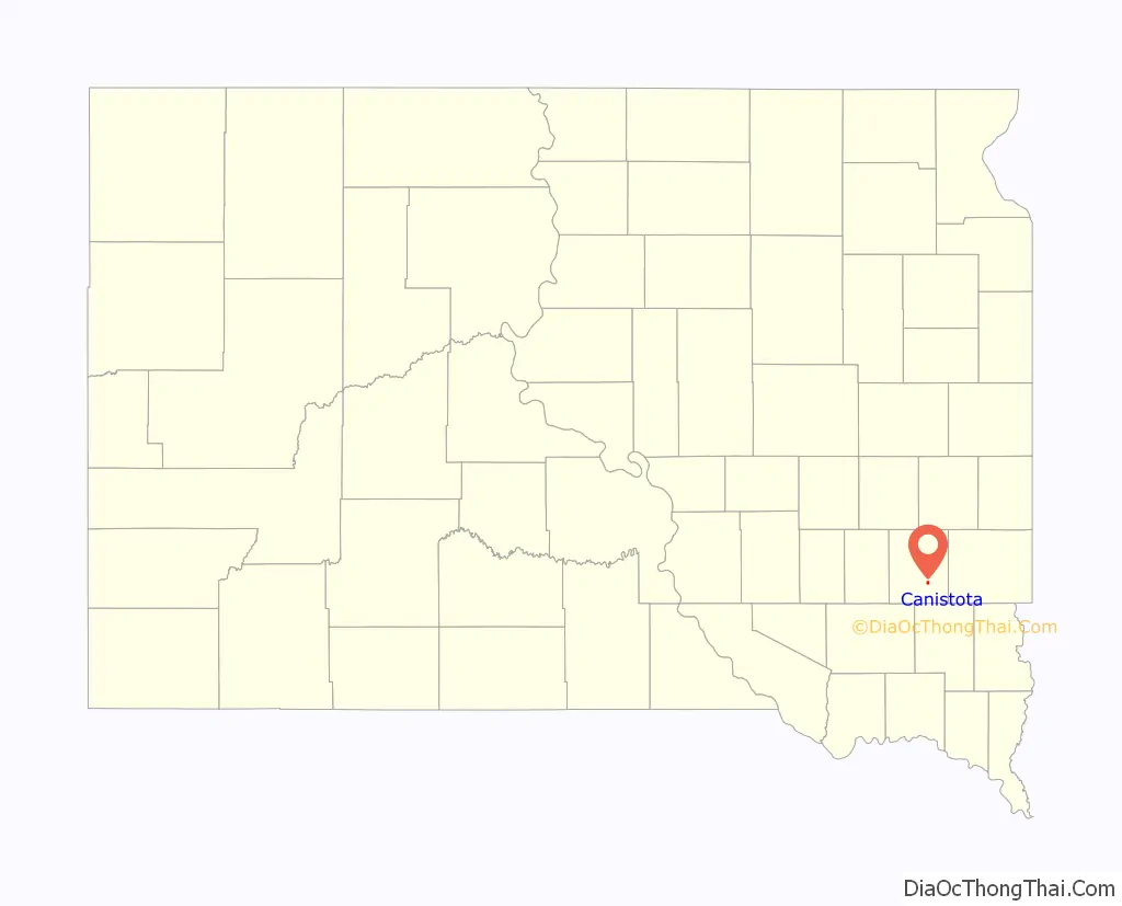
Map of South Dakota State and its subdivision:- Aurora
- Beadle
- Bennett
- Bon Homme
- Brookings
- Brown
- Brule
- Buffalo
- Butte
- Campbell
- Charles Mix
- Clark
- Clay
- Codington
- Corson
- Custer
- Davison
- Day
- Deuel
- Dewey
- Douglas
- Edmunds
- Fall River
- Faulk
- Grant
- Gregory
- Haakon
- Hamlin
- Hand
- Hanson
- Harding
- Hughes
- Hutchinson
- Hyde
- Jackson
- Jerauld
- Jones
- Kingsbury
- Lake
- Lawrence
- Lincoln
- Lyman
- Marshall
- McCook
- McPherson
- Meade
- Mellette
- Miner
- Minnehaha
- Moody
- Pennington
- Perkins
- Potter
- Roberts
- Sanborn
- Shannon
- Spink
- Stanley
- Sully
- Todd
- Tripp
- Turner
- Union
- Walworth
- Yankton
- Ziebach
- Alabama
- Alaska
- Arizona
- Arkansas
- California
- Colorado
- Connecticut
- Delaware
- District of Columbia
- Florida
- Georgia
- Hawaii
- Idaho
- Illinois
- Indiana
- Iowa
- Kansas
- Kentucky
- Louisiana
- Maine
- Maryland
- Massachusetts
- Michigan
- Minnesota
- Mississippi
- Missouri
- Montana
- Nebraska
- Nevada
- New Hampshire
- New Jersey
- New Mexico
- New York
- North Carolina
- North Dakota
- Ohio
- Oklahoma
- Oregon
- Pennsylvania
- Rhode Island
- South Carolina
- South Dakota
- Tennessee
- Texas
- Utah
- Vermont
- Virginia
- Washington
- West Virginia
- Wisconsin
- Wyoming