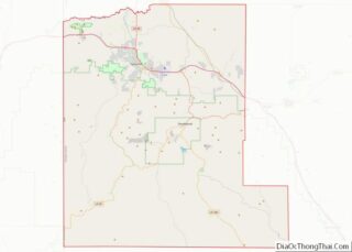
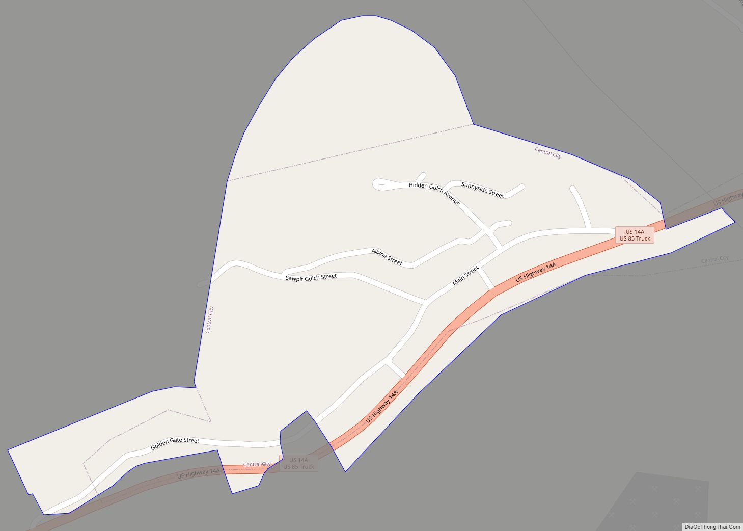
Central City is a city in Lawrence County, South Dakota, United States. The population was 93 at the 2020 census.
| Name: | Central City city |
|---|---|
| LSAD Code: | 25 |
| LSAD Description: | city (suffix) |
| State: | South Dakota |
| County: | Lawrence County |
| Founded: | 1877 |
| Elevation: | 4,892 ft (1,491 m) |
| Total Area: | 0.15 sq mi (0.38 km²) |
| Land Area: | 0.15 sq mi (0.38 km²) |
| Water Area: | 0.00 sq mi (0.00 km²) |
| Total Population: | 93 |
| Population Density: | 628.38/sq mi (243.01/km²) |
| ZIP code: | 57754 |
| Area code: | 605 |
| FIPS code: | 4611140 |
| GNISfeature ID: | 1261434 |
Online Interactive Map
Click on ![]() to view map in "full screen" mode.
to view map in "full screen" mode.
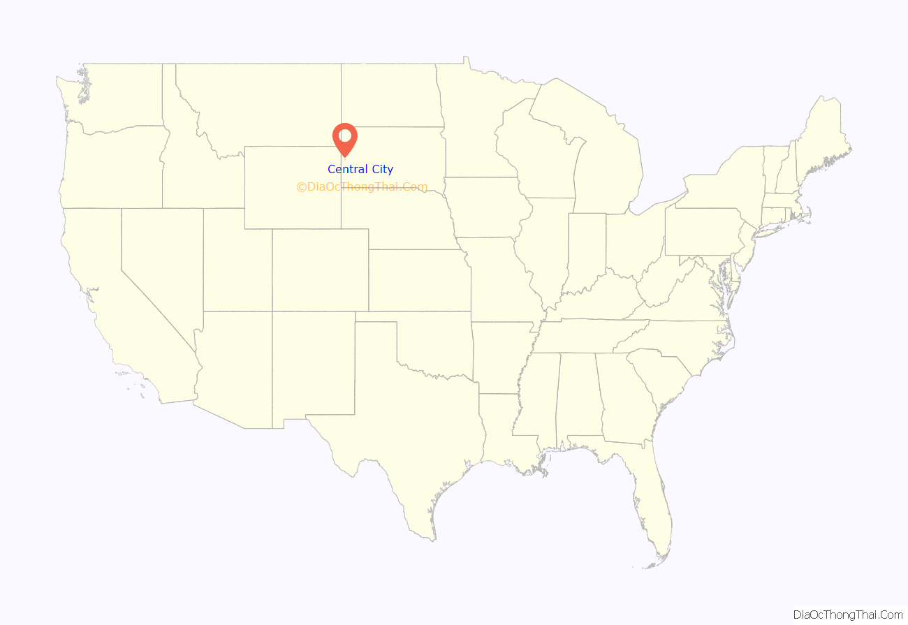
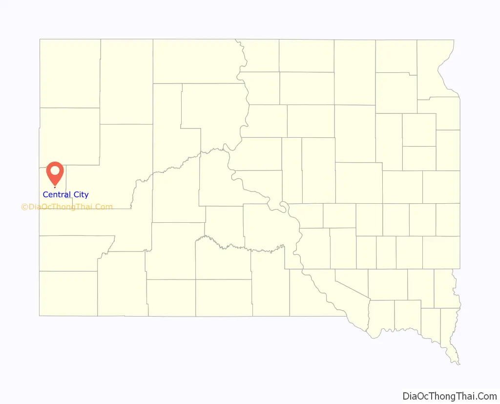
Central City location map. Where is Central City city?
History
Central City was founded in 1877. It was named after Central City, Colorado, by a settler from that community. It began as a mining town during the Black Hills Gold Rush days. There was once a quarrel over mining boundaries that resulted in a deliberate explosion of the nearby Comstock Mine and the death of one man. A miners’ sit-down strike occurred and a cavalry unit from Fort Meade led by Seth Bullock was called in to end it.
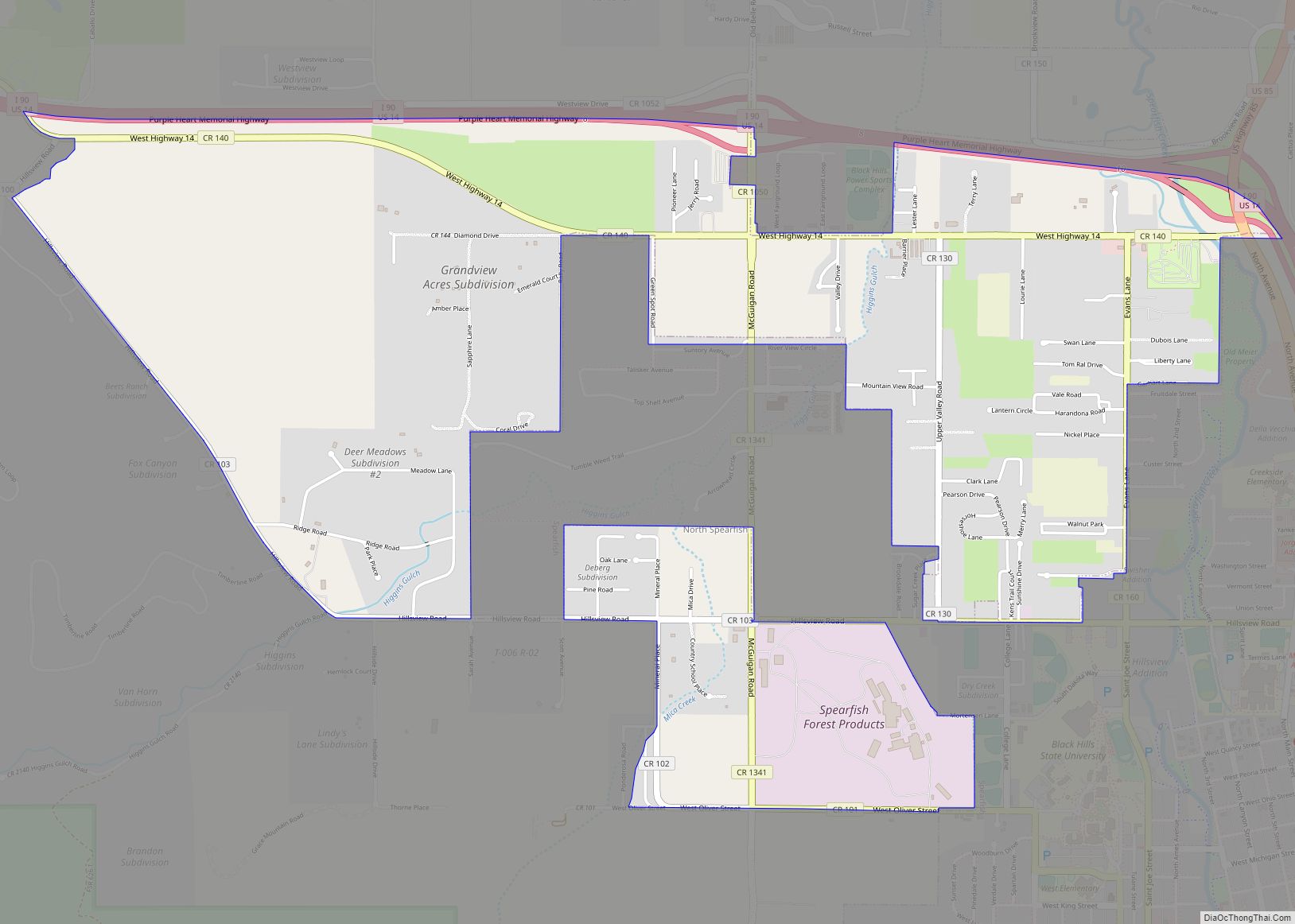
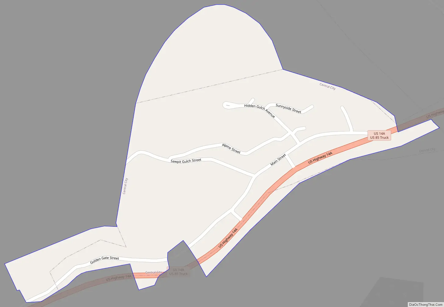
Central City Road Map
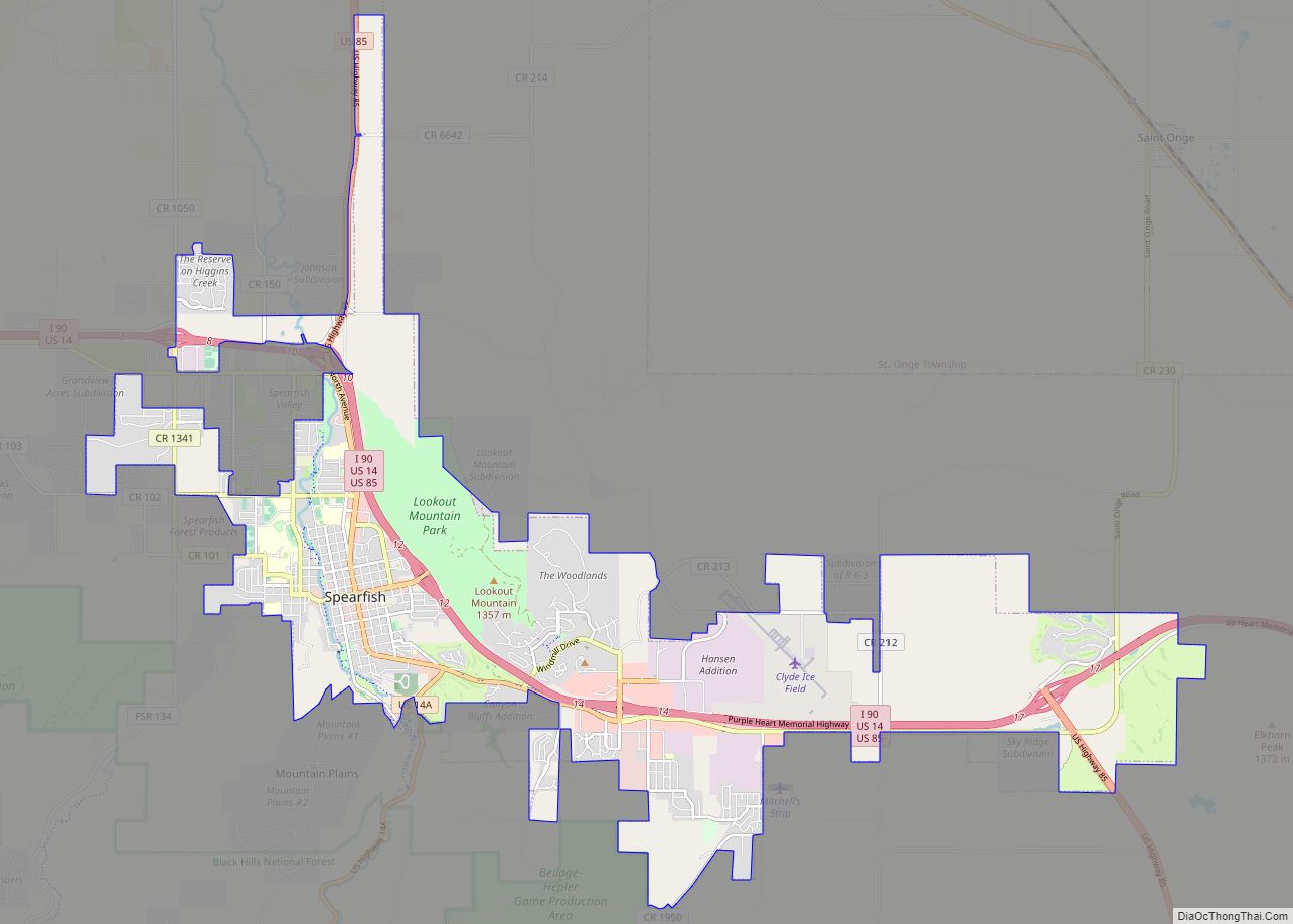
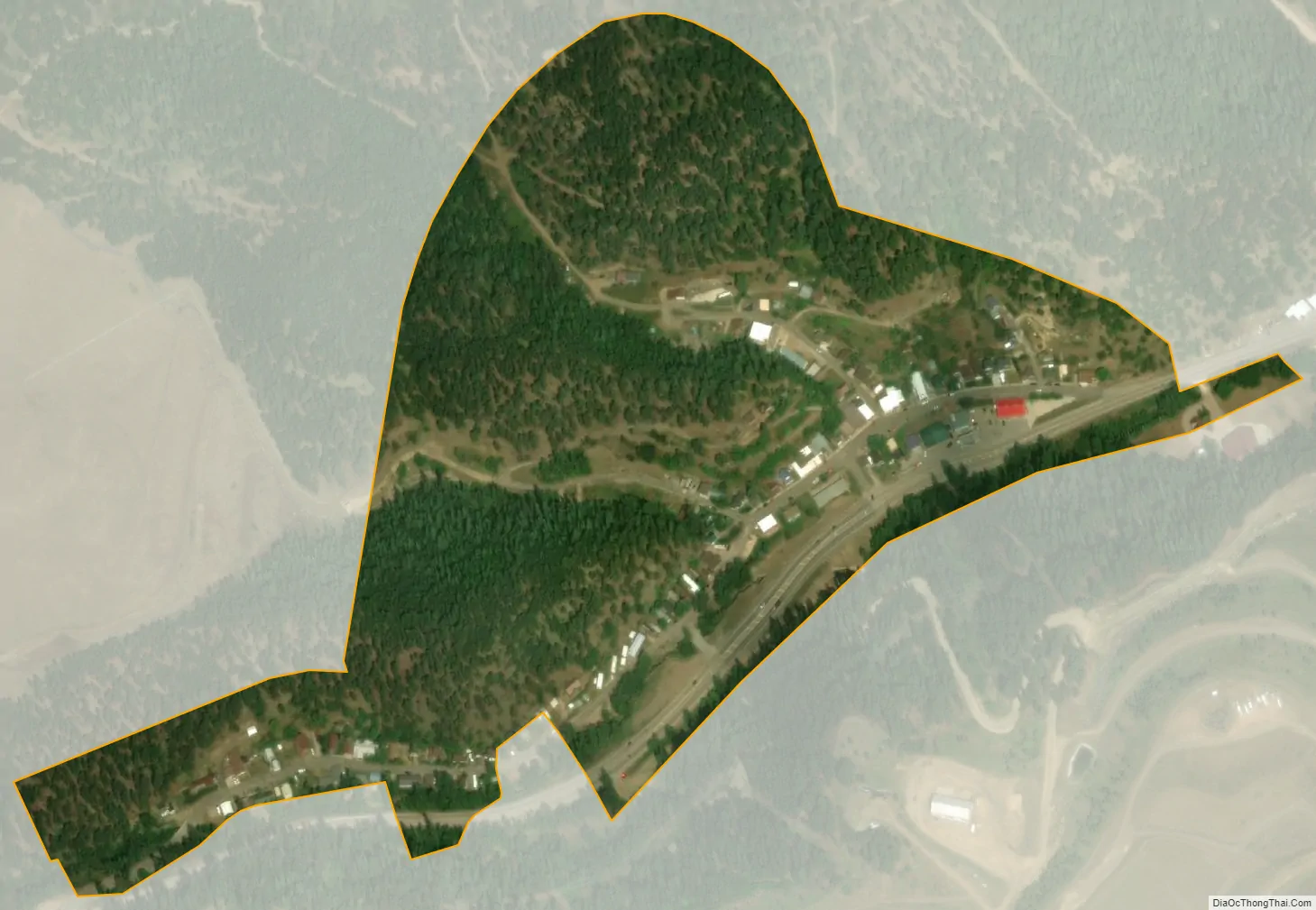
Central City city Satellite Map
Geography
Central City is located at 44°22′2″N 103°46′11″W / 44.36722°N 103.76972°W / 44.36722; -103.76972 (44.367211, -103.769652).
According to the United States Census Bureau, the city has a total area of 0.15 square miles (0.39 km), all land.
Climate
See also
Map of South Dakota State and its subdivision:- Aurora
- Beadle
- Bennett
- Bon Homme
- Brookings
- Brown
- Brule
- Buffalo
- Butte
- Campbell
- Charles Mix
- Clark
- Clay
- Codington
- Corson
- Custer
- Davison
- Day
- Deuel
- Dewey
- Douglas
- Edmunds
- Fall River
- Faulk
- Grant
- Gregory
- Haakon
- Hamlin
- Hand
- Hanson
- Harding
- Hughes
- Hutchinson
- Hyde
- Jackson
- Jerauld
- Jones
- Kingsbury
- Lake
- Lawrence
- Lincoln
- Lyman
- Marshall
- McCook
- McPherson
- Meade
- Mellette
- Miner
- Minnehaha
- Moody
- Pennington
- Perkins
- Potter
- Roberts
- Sanborn
- Shannon
- Spink
- Stanley
- Sully
- Todd
- Tripp
- Turner
- Union
- Walworth
- Yankton
- Ziebach
- Alabama
- Alaska
- Arizona
- Arkansas
- California
- Colorado
- Connecticut
- Delaware
- District of Columbia
- Florida
- Georgia
- Hawaii
- Idaho
- Illinois
- Indiana
- Iowa
- Kansas
- Kentucky
- Louisiana
- Maine
- Maryland
- Massachusetts
- Michigan
- Minnesota
- Mississippi
- Missouri
- Montana
- Nebraska
- Nevada
- New Hampshire
- New Jersey
- New Mexico
- New York
- North Carolina
- North Dakota
- Ohio
- Oklahoma
- Oregon
- Pennsylvania
- Rhode Island
- South Carolina
- South Dakota
- Tennessee
- Texas
- Utah
- Vermont
- Virginia
- Washington
- West Virginia
- Wisconsin
- Wyoming