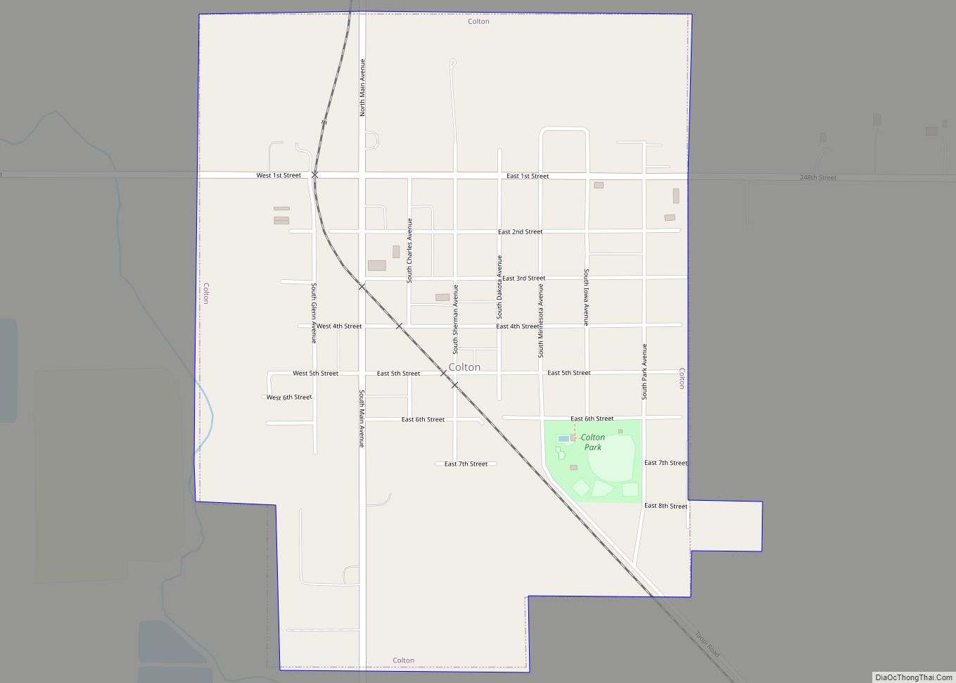
Colton is a city in Minnehaha County, South Dakota, United States. The population was 738 at the 2020 census.
Colton has the name of J. E. Colton, a railroad official.
| Name: | Colton city |
|---|---|
| LSAD Code: | 25 |
| LSAD Description: | city (suffix) |
| State: | South Dakota |
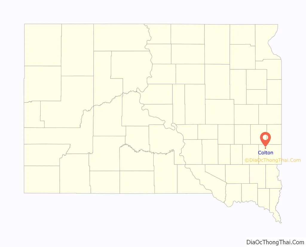
| County: | Minnehaha County |
| Incorporated: | 1904 |
| Elevation: | 1,604 ft (489 m) |
| Total Area: | 0.70 sq mi (1.82 km²) |
| Land Area: | 0.70 sq mi (1.82 km²) |
| Water Area: | 0.00 sq mi (0.00 km²) |
| Total Population: | 738 |
| Population Density: | 1,052.78/sq mi (406.34/km²) |
| ZIP code: | 57018 |
| Area code: | 605 |
| FIPS code: | 4613380 |
| GNISfeature ID: | 1254438 |
| Website: | coltonsd.govoffice3.com |
Online Interactive Map
Click on ![]() to view map in "full screen" mode.
to view map in "full screen" mode.
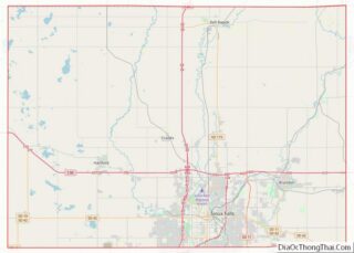
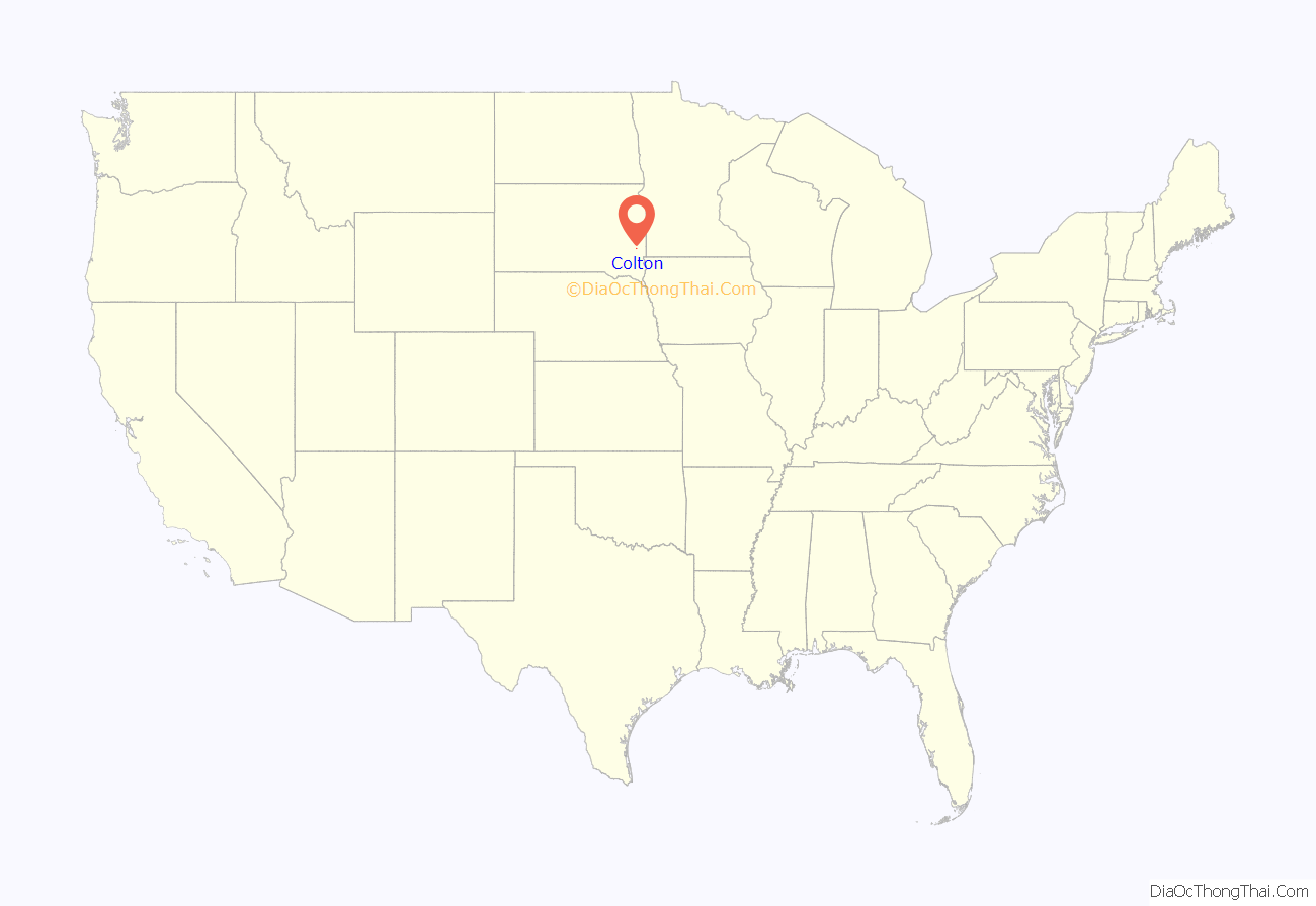
Colton location map. Where is Colton city?
History
Creation
The town started with a creamery in 1897, made by J. E. Colton. Other businesses started to form around the creamery, making a Main Street. In 1901, the founder started a newspaper called “The Colton Courier” that stayed in place for years. The three other shareowners were W. O. Colton and Dave Crooks, the founder of Colton’s Neighboring town, Crooks. Between 1905 and 1906 a railroad was built through Colton, which used to have passenger service. J. E. Colton was 53 years old when he died in 1910.
Schools
The first Colton school was made in 1879 by the town’s founder, J. E. Colton, and was a one-room schoolhouse. From 1903 to 1905 a new, larger schoolhouse was built in place of the old one and began to teach high school subjects. In 1907 a high school was built that was meant to put students through for two years each. It met that goal, but lasted no more than two years, being put out of use in 1909. 1913 started a new four-year high school with six teachers that lasted much longer. Near the end of 1924, a new school was built out of brick. It used the same standard system as the previous school. The school stopped being used in 1967 when the school of Tri-Valley was constructed, which combined the students of several small towns.
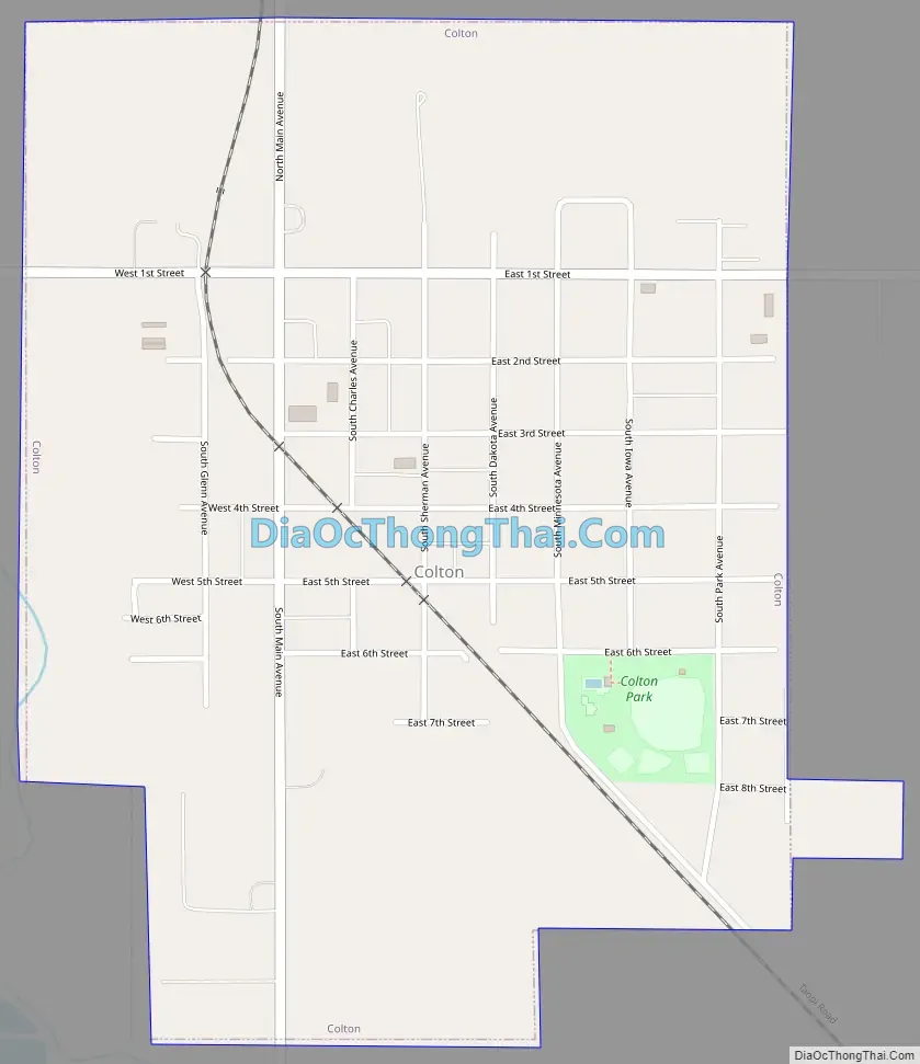
Colton Road Map
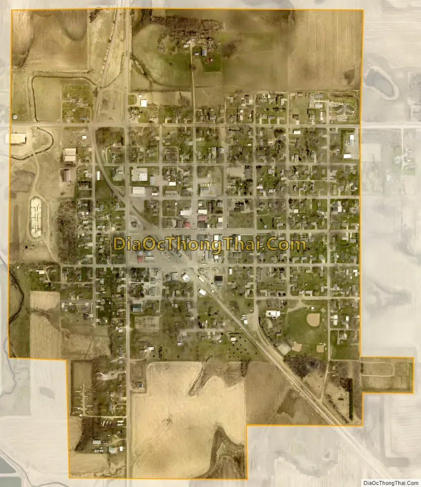
Colton city Satellite Map
Geography
Colton is located at 43°47′15″N 96°55′38″W / 43.78750°N 96.92722°W / 43.78750; -96.92722 (43.787411, -96.927349).
According to the United States Census Bureau, the city has a total area of 0.70 square miles (1.81 km), all land.
Colton has been assigned the ZIP code 57018 and the FIPS place code 13380.
See also
Map of South Dakota State and its subdivision:- Aurora
- Beadle
- Bennett
- Bon Homme
- Brookings
- Brown
- Brule
- Buffalo
- Butte
- Campbell
- Charles Mix
- Clark
- Clay
- Codington
- Corson
- Custer
- Davison
- Day
- Deuel
- Dewey
- Douglas
- Edmunds
- Fall River
- Faulk
- Grant
- Gregory
- Haakon
- Hamlin
- Hand
- Hanson
- Harding
- Hughes
- Hutchinson
- Hyde
- Jackson
- Jerauld
- Jones
- Kingsbury
- Lake
- Lawrence
- Lincoln
- Lyman
- Marshall
- McCook
- McPherson
- Meade
- Mellette
- Miner
- Minnehaha
- Moody
- Pennington
- Perkins
- Potter
- Roberts
- Sanborn
- Shannon
- Spink
- Stanley
- Sully
- Todd
- Tripp
- Turner
- Union
- Walworth
- Yankton
- Ziebach
- Alabama
- Alaska
- Arizona
- Arkansas
- California
- Colorado
- Connecticut
- Delaware
- District of Columbia
- Florida
- Georgia
- Hawaii
- Idaho
- Illinois
- Indiana
- Iowa
- Kansas
- Kentucky
- Louisiana
- Maine
- Maryland
- Massachusetts
- Michigan
- Minnesota
- Mississippi
- Missouri
- Montana
- Nebraska
- Nevada
- New Hampshire
- New Jersey
- New Mexico
- New York
- North Carolina
- North Dakota
- Ohio
- Oklahoma
- Oregon
- Pennsylvania
- Rhode Island
- South Carolina
- South Dakota
- Tennessee
- Texas
- Utah
- Vermont
- Virginia
- Washington
- West Virginia
- Wisconsin
- Wyoming