Edgemont is a city in Fall River County, South Dakota, United States. The population was 725 at the 2020 census. The city lies on the far southern edge of the Black Hills in southwestern South Dakota.
Edgemont is a crew change point for BNSF freight trains in the Gillette, Wyoming–Alliance, Nebraska division.
| Name: | Edgemont city |
|---|---|
| LSAD Code: | 25 |
| LSAD Description: | city (suffix) |
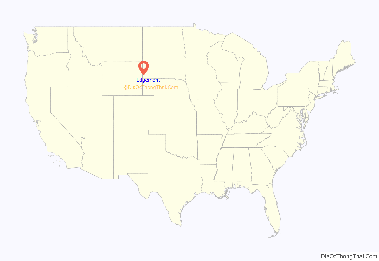
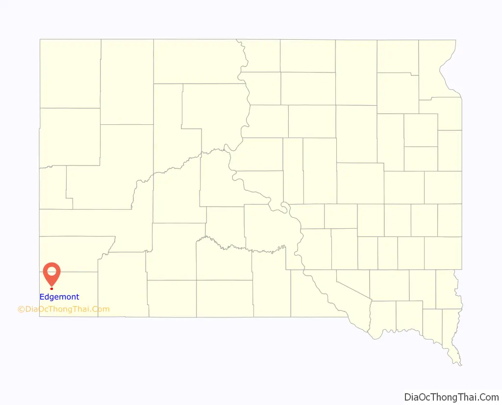
| State: | South Dakota |
| County: | Fall River County |
| Incorporated: | 1895 |
| Elevation: | 3,458 ft (1,054 m) |
| Total Area: | 1.38 sq mi (3.58 km²) |
| Land Area: | 1.38 sq mi (3.58 km²) |
| Water Area: | 0.00 sq mi (0.00 km²) |
| Total Population: | 725 |
| Population Density: | 524.60/sq mi (202.51/km²) |
| ZIP code: | 57735 |
| Area code: | 605 |
| FIPS code: | 4618300 |
| GNISfeature ID: | 1266810 |
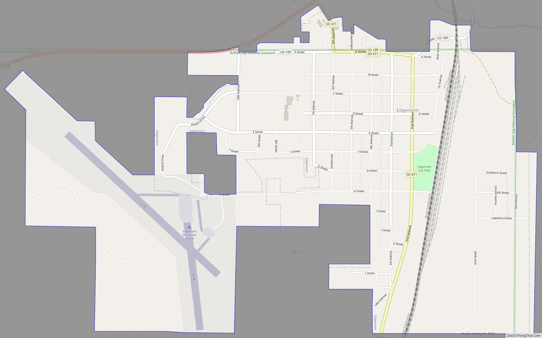
Online Interactive Map
Click on ![]() to view map in "full screen" mode.
to view map in "full screen" mode.
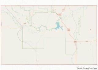
Edgemont location map. Where is Edgemont city?
History
Edgemont had its start in 1890 with the building of the Burlington Railroad through that territory.
In 2012, the White Draw Fire burned eight miles northeast of Edgemont. On July 1, 2012, an airplane fighting the fire crashed near town, killing four military personnel and injuring two.
On the morning of January 17, 2017, a BNSF Railway westbound train struck and killed two roadway workers, including the watchman/lookout. The accident occurred at milepost 477, on the Black Hills subdivision, in Edgemont.
Also featured in episode 10 of series 1 of Z Nation in the episode “Going nuclear”
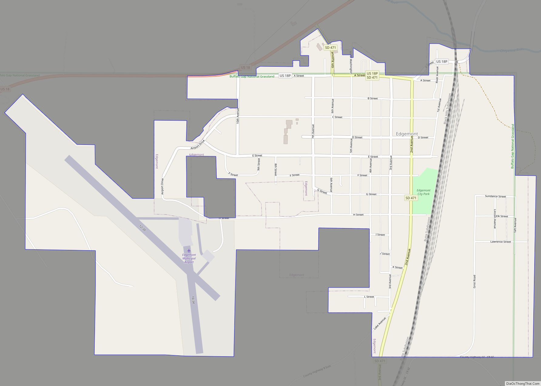
Edgemont Road Map
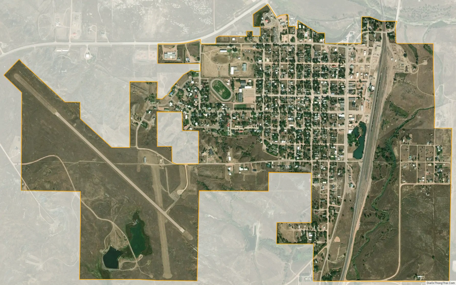
Edgemont city Satellite Map
Geography
Edgemont is located at 43°17′58″N 103°49′44″W / 43.29944°N 103.82889°W / 43.29944; -103.82889 (43.299453, -103.828966).
According to the United States Census Bureau, the city has a total area of 0.97 square miles (2.51 km), all land.
The city lies at the intersection of US Highway 18 and South Dakota Highway 471. Its closest neighbors are Burdock and Dewey to the northwest, Hot Springs to the northeast, and Provo and Rumford to the south.
Edgemont lies just to the south of the Elk Mountains, a small range that is part of the Black Hills.
Climate
According to the Köppen Climate Classification system, Edgemont has a cold semi-arid climate, abbreviated “BSk” on climate maps. The hottest temperature recorded in was 111 °F (43.9 °C) on June 22, 2016 and July 21, 2016, while the coldest temperature recorded was −40 °F (−40.0 °C) on December 22, 1989.
See also
Map of South Dakota State and its subdivision:- Aurora
- Beadle
- Bennett
- Bon Homme
- Brookings
- Brown
- Brule
- Buffalo
- Butte
- Campbell
- Charles Mix
- Clark
- Clay
- Codington
- Corson
- Custer
- Davison
- Day
- Deuel
- Dewey
- Douglas
- Edmunds
- Fall River
- Faulk
- Grant
- Gregory
- Haakon
- Hamlin
- Hand
- Hanson
- Harding
- Hughes
- Hutchinson
- Hyde
- Jackson
- Jerauld
- Jones
- Kingsbury
- Lake
- Lawrence
- Lincoln
- Lyman
- Marshall
- McCook
- McPherson
- Meade
- Mellette
- Miner
- Minnehaha
- Moody
- Pennington
- Perkins
- Potter
- Roberts
- Sanborn
- Shannon
- Spink
- Stanley
- Sully
- Todd
- Tripp
- Turner
- Union
- Walworth
- Yankton
- Ziebach
- Alabama
- Alaska
- Arizona
- Arkansas
- California
- Colorado
- Connecticut
- Delaware
- District of Columbia
- Florida
- Georgia
- Hawaii
- Idaho
- Illinois
- Indiana
- Iowa
- Kansas
- Kentucky
- Louisiana
- Maine
- Maryland
- Massachusetts
- Michigan
- Minnesota
- Mississippi
- Missouri
- Montana
- Nebraska
- Nevada
- New Hampshire
- New Jersey
- New Mexico
- New York
- North Carolina
- North Dakota
- Ohio
- Oklahoma
- Oregon
- Pennsylvania
- Rhode Island
- South Carolina
- South Dakota
- Tennessee
- Texas
- Utah
- Vermont
- Virginia
- Washington
- West Virginia
- Wisconsin
- Wyoming