Hayti (pronounced “HAY-tie”) is a town in and county seat of Hamlin County, South Dakota, United States. The population was 393 at the 2020 census. It is part of the Watertown, South Dakota Micropolitan Statistical Area. It is the county seat of Hamlin County.
According to tradition, the name is derived from the practice of tying bundles of hay to be burned on the prairie, hence the name Hay-tie.
| Name: | Hayti town |
|---|---|
| LSAD Code: | 43 |
| LSAD Description: | town (suffix) |
| State: | South Dakota |
| County: | Hamlin County |
| Incorporated: | 1914 |
| Elevation: | 1,696 ft (517 m) |
| Total Area: | 0.40 sq mi (1.02 km²) |
| Land Area: | 0.40 sq mi (1.02 km²) |
| Water Area: | 0.00 sq mi (0.00 km²) |
| Total Population: | 393 |
| Population Density: | 994.94/sq mi (383.79/km²) |
| ZIP code: | 57241 |
| Area code: | 605 |
| FIPS code: | 4627820 |
| GNISfeature ID: | 1255489 |
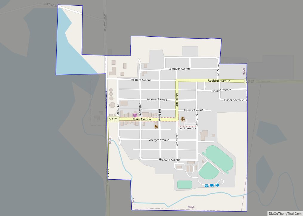
Online Interactive Map
Click on ![]() to view map in "full screen" mode.
to view map in "full screen" mode.
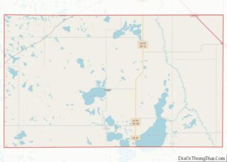
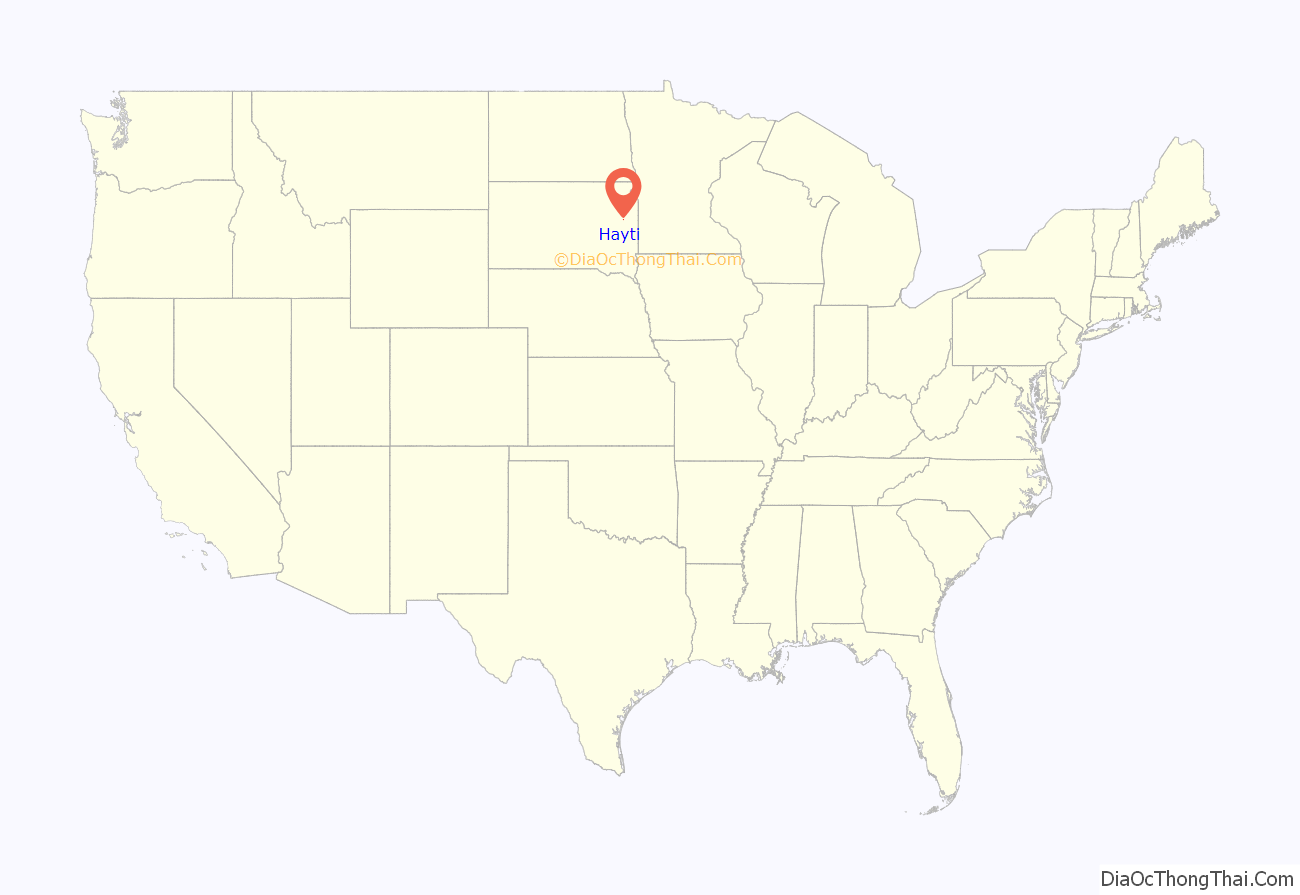
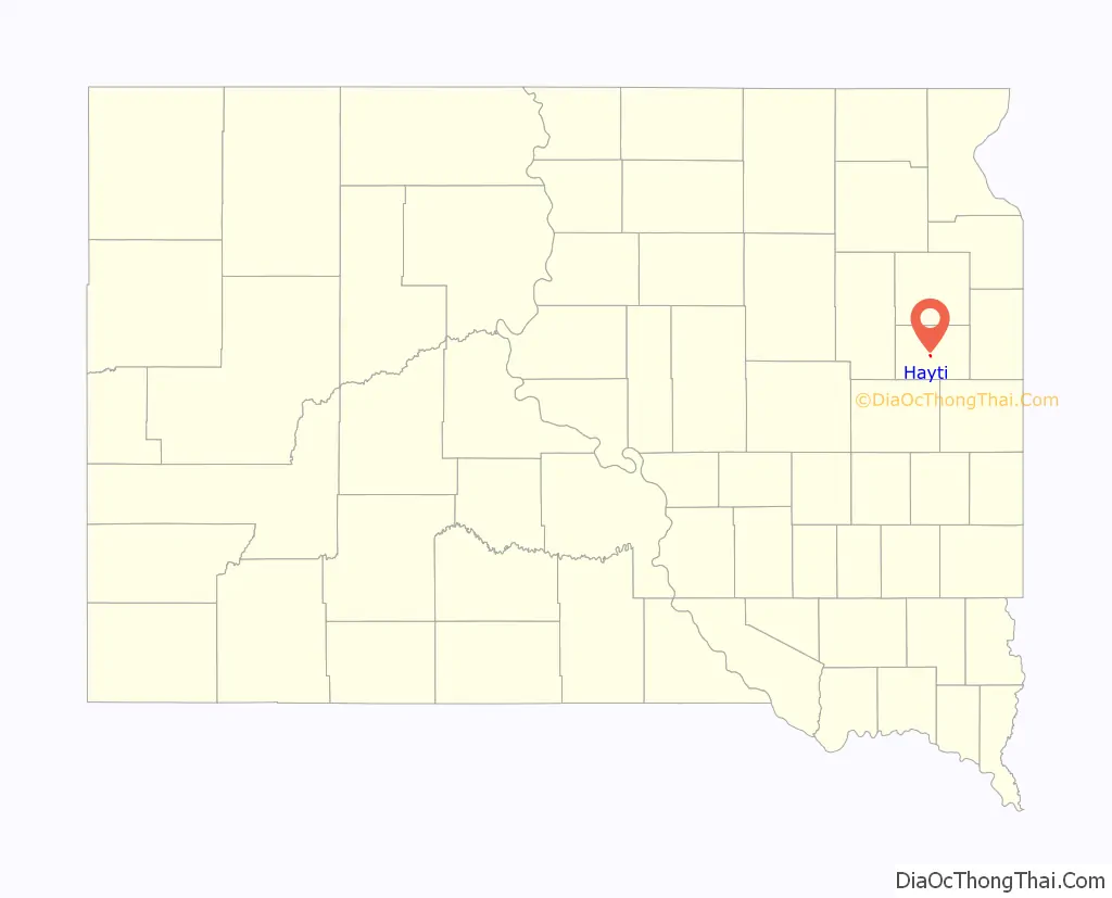
Hayti location map. Where is Hayti town?
History
Hayti was platted in 1907 when the South Dakota Central Railway was built through the area. The town won an election to become the county seat in 1910, taking the title from Castlewood; however, Castlewood sued to keep the county seat and won the case. In 1914, a second election gave Hayti the county seat for good.
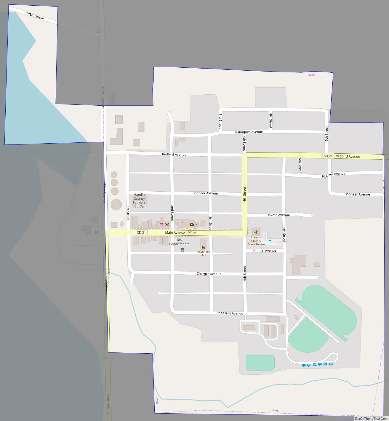
Hayti Road Map
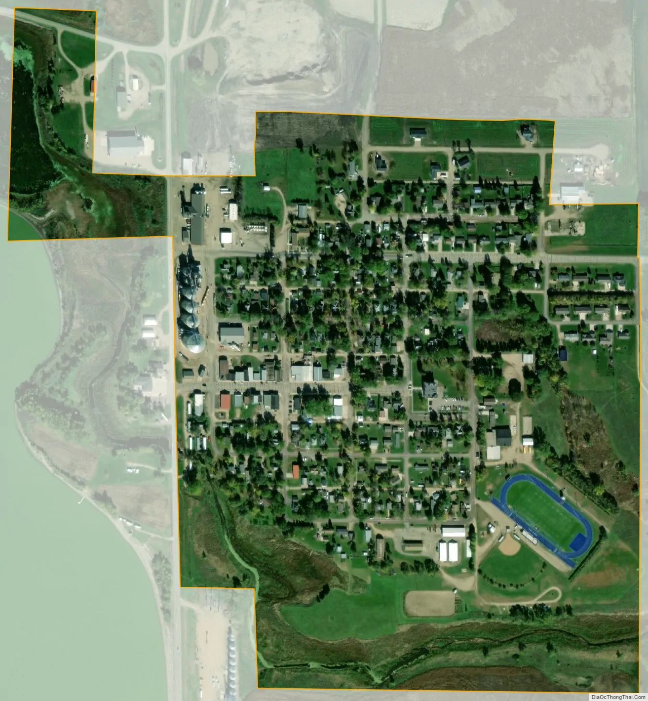
Hayti city Satellite Map
Geography
Hayti is located at 44°39′27″N 97°12′16″W / 44.65750°N 97.20444°W / 44.65750; -97.20444 (44.657591, -97.204391).
According to the United States Census Bureau, the town has a total area of 0.31 square miles (0.80 km), all land.
Hayti has been assigned the ZIP code 57241 and the FIPS place code 27820.
See also
Map of South Dakota State and its subdivision:- Aurora
- Beadle
- Bennett
- Bon Homme
- Brookings
- Brown
- Brule
- Buffalo
- Butte
- Campbell
- Charles Mix
- Clark
- Clay
- Codington
- Corson
- Custer
- Davison
- Day
- Deuel
- Dewey
- Douglas
- Edmunds
- Fall River
- Faulk
- Grant
- Gregory
- Haakon
- Hamlin
- Hand
- Hanson
- Harding
- Hughes
- Hutchinson
- Hyde
- Jackson
- Jerauld
- Jones
- Kingsbury
- Lake
- Lawrence
- Lincoln
- Lyman
- Marshall
- McCook
- McPherson
- Meade
- Mellette
- Miner
- Minnehaha
- Moody
- Pennington
- Perkins
- Potter
- Roberts
- Sanborn
- Shannon
- Spink
- Stanley
- Sully
- Todd
- Tripp
- Turner
- Union
- Walworth
- Yankton
- Ziebach
- Alabama
- Alaska
- Arizona
- Arkansas
- California
- Colorado
- Connecticut
- Delaware
- District of Columbia
- Florida
- Georgia
- Hawaii
- Idaho
- Illinois
- Indiana
- Iowa
- Kansas
- Kentucky
- Louisiana
- Maine
- Maryland
- Massachusetts
- Michigan
- Minnesota
- Mississippi
- Missouri
- Montana
- Nebraska
- Nevada
- New Hampshire
- New Jersey
- New Mexico
- New York
- North Carolina
- North Dakota
- Ohio
- Oklahoma
- Oregon
- Pennsylvania
- Rhode Island
- South Carolina
- South Dakota
- Tennessee
- Texas
- Utah
- Vermont
- Virginia
- Washington
- West Virginia
- Wisconsin
- Wyoming