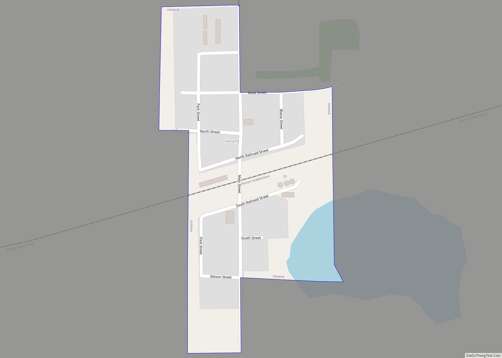
Hetland is a town in Kingsbury County, South Dakota, United States. The population was 46 at the 2010 census.
| Name: | Hetland town |
|---|---|
| LSAD Code: | 43 |
| LSAD Description: | town (suffix) |
| State: | South Dakota |
| County: | Kingsbury County |
| Founded: | 1880 |
| Elevation: | 1,732 ft (528 m) |
| Total Area: | 0.11 sq mi (0.30 km²) |
| Land Area: | 0.11 sq mi (0.30 km²) |
| Water Area: | 0.00 sq mi (0.00 km²) |
| Total Population: | 20 |
| Population Density: | 175.44/sq mi (67.56/km²) |
| ZIP code: | 57212, 57244 |
| Area code: | 605 |
| FIPS code: | 4628460 |
| GNISfeature ID: | 1265247 |
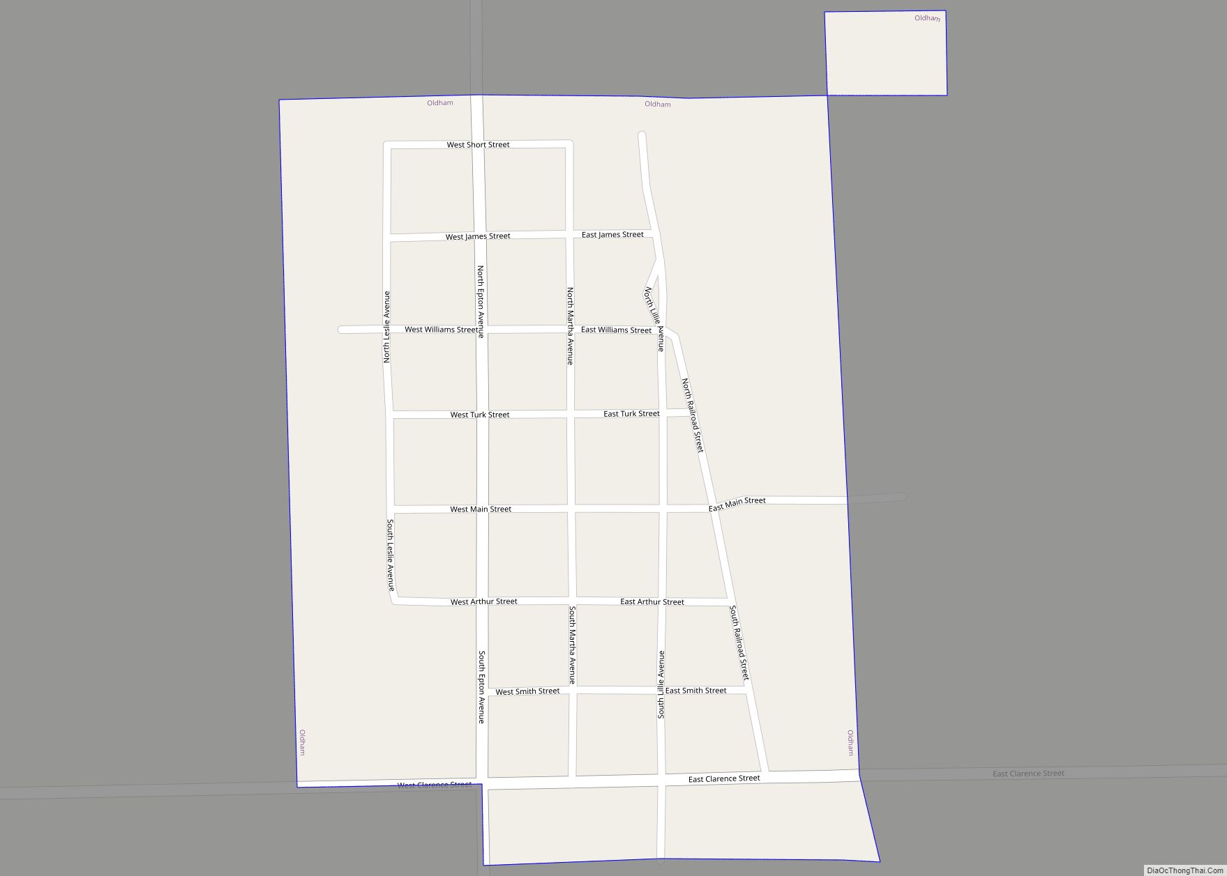
Online Interactive Map
Click on ![]() to view map in "full screen" mode.
to view map in "full screen" mode.
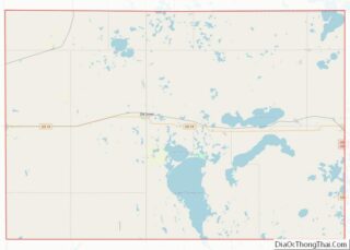
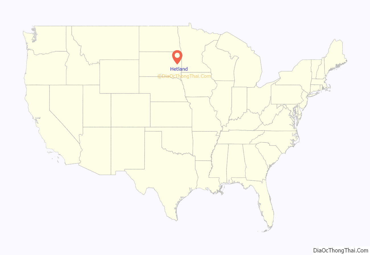
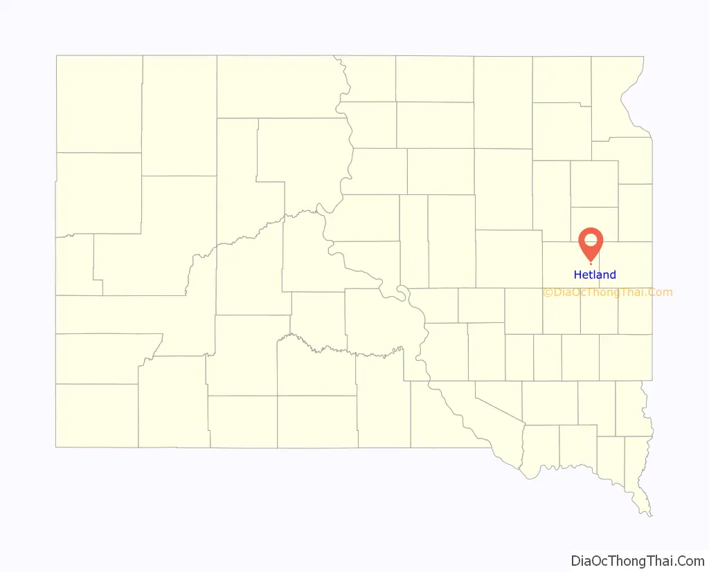
Hetland location map. Where is Hetland town?
History
A post office called Hetland was established in 1888, and remained in operation until it was discontinued in 1997. The town was named for John Hetland, a pioneer settler who was murdered while traveling from Sioux Falls to his homestead near the present site of Hetland.
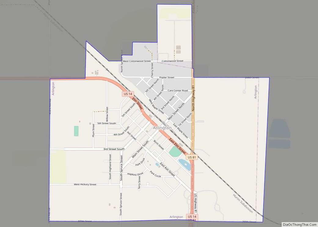
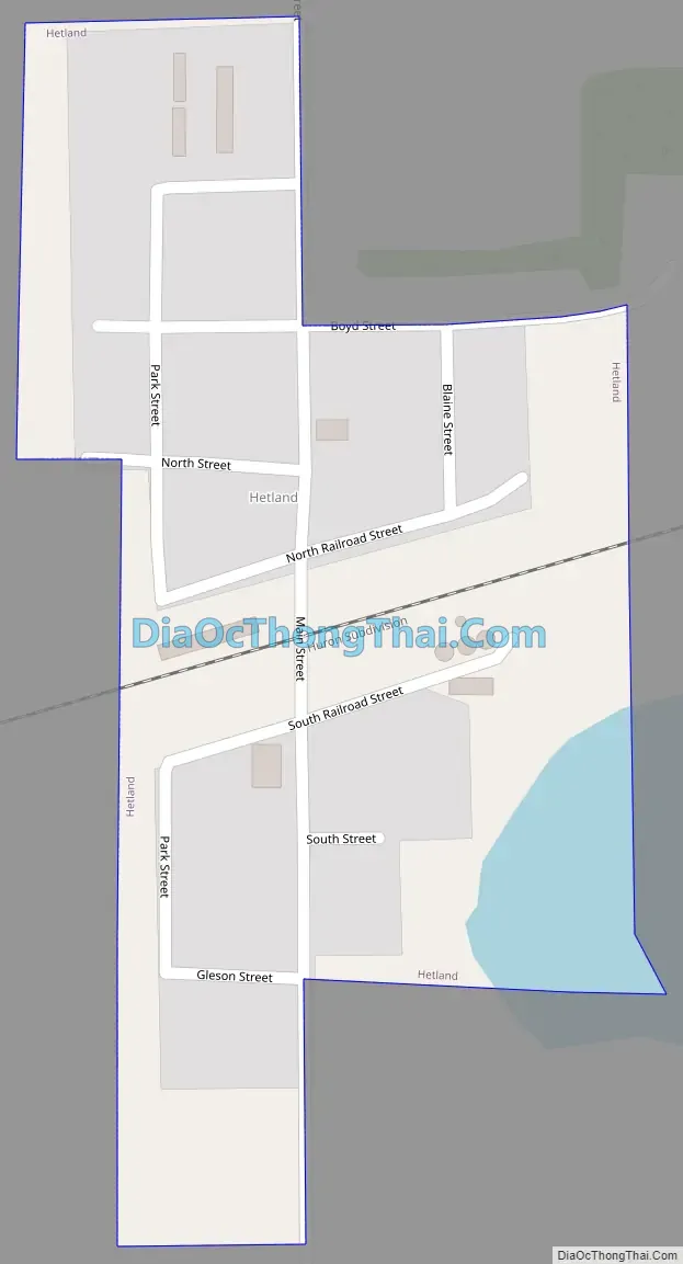
Hetland Road Map
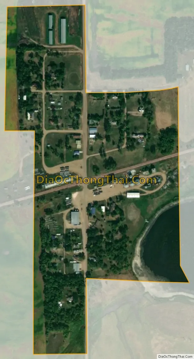
Hetland city Satellite Map
Geography
Hetland is located at 44°22′36″N 97°14′4″W / 44.37667°N 97.23444°W / 44.37667; -97.23444 (44.376595, -97.234449).
According to the United States Census Bureau, the town has a total area of 0.11 square miles (0.28 km), all land.
Hetland has been assigned the ZIP code 57244 and the FIPS place code 28460.
See also
Map of South Dakota State and its subdivision:- Aurora
- Beadle
- Bennett
- Bon Homme
- Brookings
- Brown
- Brule
- Buffalo
- Butte
- Campbell
- Charles Mix
- Clark
- Clay
- Codington
- Corson
- Custer
- Davison
- Day
- Deuel
- Dewey
- Douglas
- Edmunds
- Fall River
- Faulk
- Grant
- Gregory
- Haakon
- Hamlin
- Hand
- Hanson
- Harding
- Hughes
- Hutchinson
- Hyde
- Jackson
- Jerauld
- Jones
- Kingsbury
- Lake
- Lawrence
- Lincoln
- Lyman
- Marshall
- McCook
- McPherson
- Meade
- Mellette
- Miner
- Minnehaha
- Moody
- Pennington
- Perkins
- Potter
- Roberts
- Sanborn
- Shannon
- Spink
- Stanley
- Sully
- Todd
- Tripp
- Turner
- Union
- Walworth
- Yankton
- Ziebach
- Alabama
- Alaska
- Arizona
- Arkansas
- California
- Colorado
- Connecticut
- Delaware
- District of Columbia
- Florida
- Georgia
- Hawaii
- Idaho
- Illinois
- Indiana
- Iowa
- Kansas
- Kentucky
- Louisiana
- Maine
- Maryland
- Massachusetts
- Michigan
- Minnesota
- Mississippi
- Missouri
- Montana
- Nebraska
- Nevada
- New Hampshire
- New Jersey
- New Mexico
- New York
- North Carolina
- North Dakota
- Ohio
- Oklahoma
- Oregon
- Pennsylvania
- Rhode Island
- South Carolina
- South Dakota
- Tennessee
- Texas
- Utah
- Vermont
- Virginia
- Washington
- West Virginia
- Wisconsin
- Wyoming