Humboldt is a town in Minnehaha County, South Dakota, United States. The population was 579 at the 2020 census.
| Name: | Humboldt town |
|---|---|
| LSAD Code: | 43 |
| LSAD Description: | town (suffix) |
| State: | South Dakota |
| County: | Minnehaha County |
| Incorporated: | 1891 |
| Elevation: | 1,703 ft (519 m) |
| Total Area: | 0.63 sq mi (1.64 km²) |
| Land Area: | 0.62 sq mi (1.60 km²) |
| Water Area: | 0.01 sq mi (0.04 km²) |
| Total Population: | 579 |
| Population Density: | 935.38/sq mi (361.13/km²) |
| ZIP code: | 57035 |
| Area code: | 605 |
| FIPS code: | 4630900 |
| GNISfeature ID: | 1255710 |
| Website: | humboldt.govoffice.com |
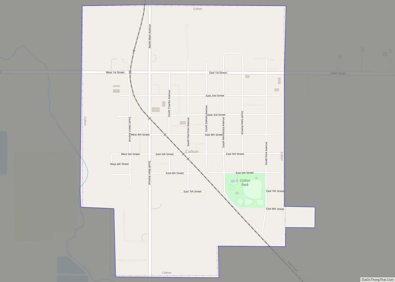
Online Interactive Map
Click on ![]() to view map in "full screen" mode.
to view map in "full screen" mode.
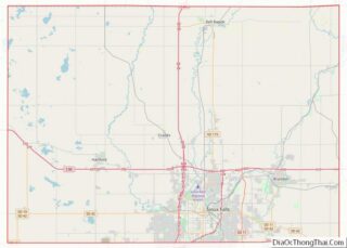
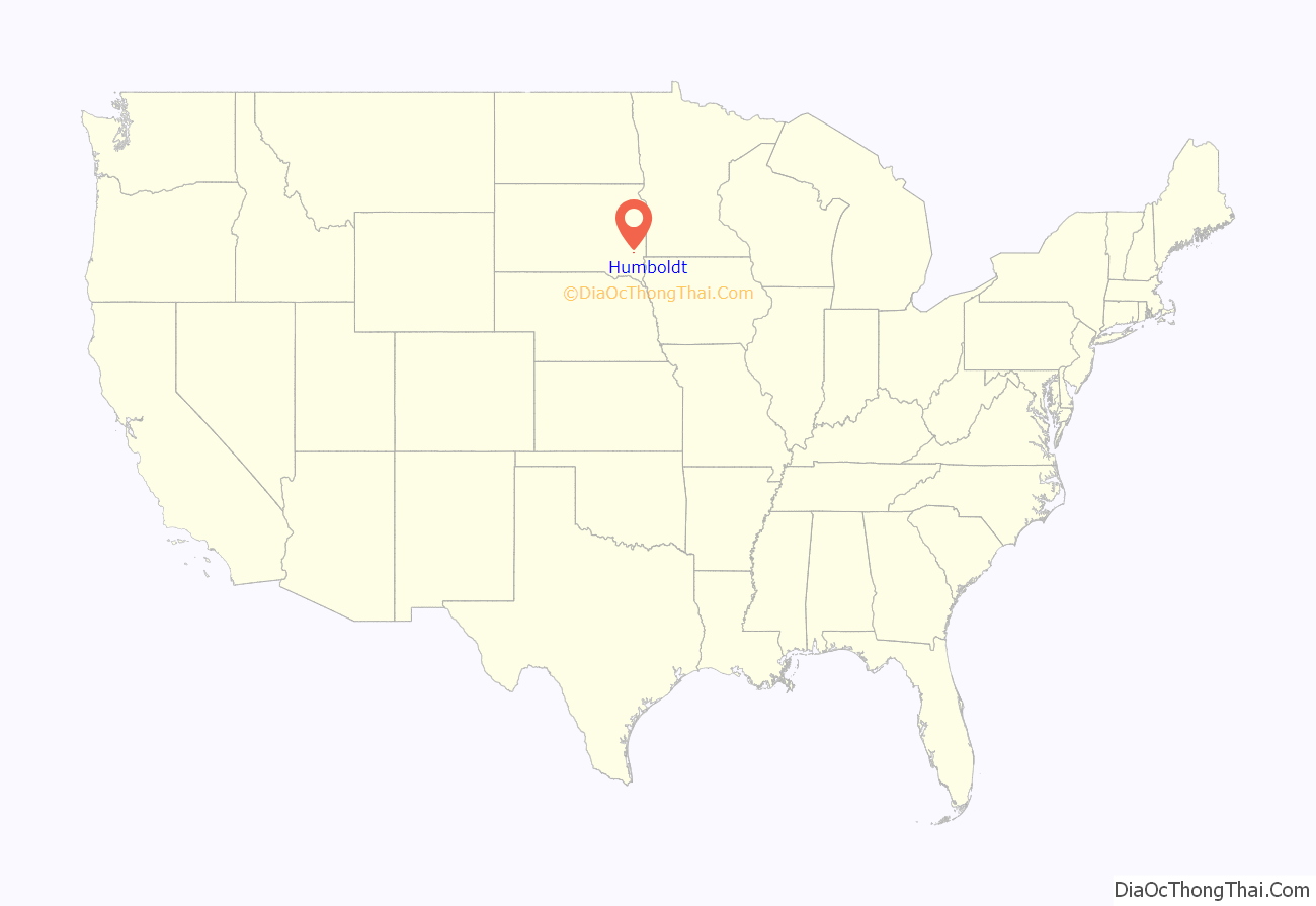
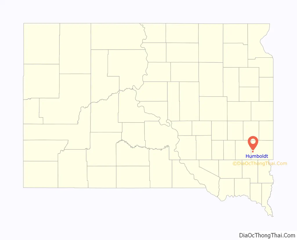
Humboldt location map. Where is Humboldt town?
History
The first settlement at Humboldt was made in 1877. The town was named from its location in Humboldt Township. A post office called Humboldt has been in operation since 1889.
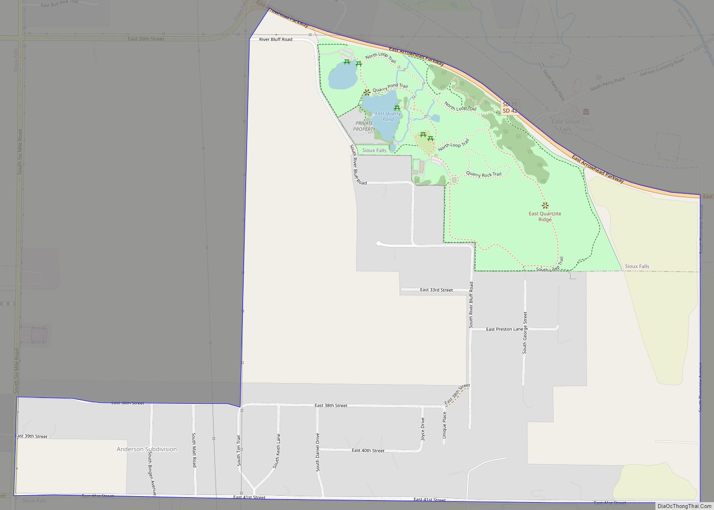
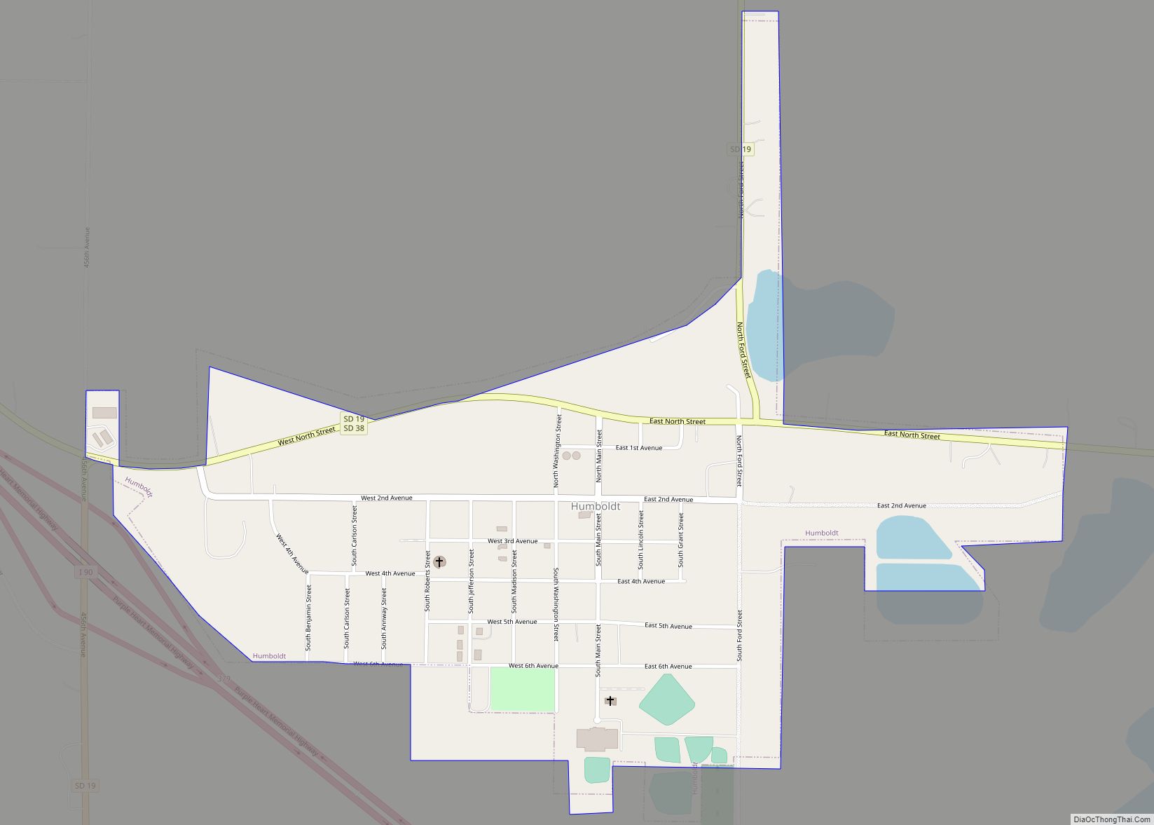
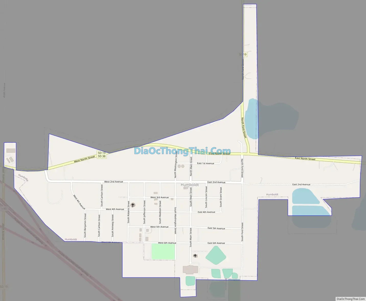
Humboldt Road Map
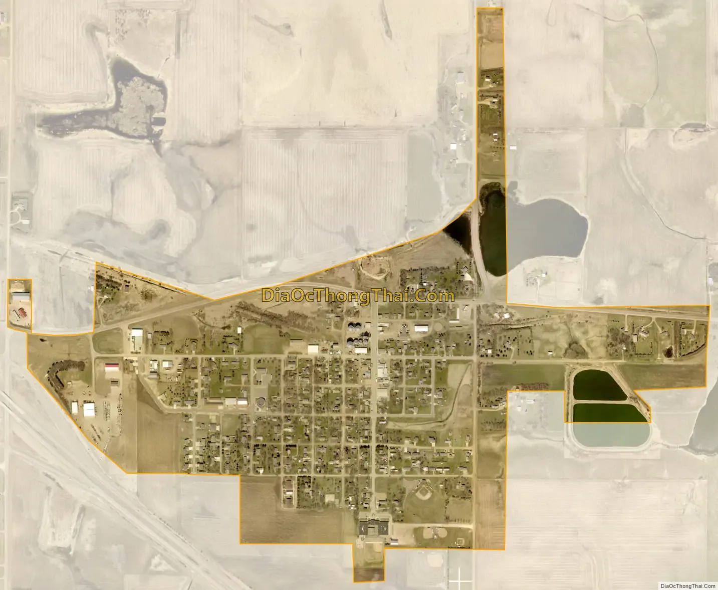
Humboldt city Satellite Map
Geography
Humboldt is located at 43°38′42″N 97°4′28″W / 43.64500°N 97.07444°W / 43.64500; -97.07444 (43.644933, -97.074320).
According to the United States Census Bureau, the town has a total area of 0.63 square miles (1.63 km), of which 0.62 square miles (1.61 km) is land and 0.01 square miles (0.03 km) is water.
Humboldt has been assigned the ZIP code 57035 and the FIPS place code 30900.
Lost Lake lies two miles north of the town, while Beaver Lake lies one mile east of town.
Humboldt is accessible via exit 379, off Interstate 90, marking the halfway point on the longest interstate in the United States
See also
Map of South Dakota State and its subdivision:- Aurora
- Beadle
- Bennett
- Bon Homme
- Brookings
- Brown
- Brule
- Buffalo
- Butte
- Campbell
- Charles Mix
- Clark
- Clay
- Codington
- Corson
- Custer
- Davison
- Day
- Deuel
- Dewey
- Douglas
- Edmunds
- Fall River
- Faulk
- Grant
- Gregory
- Haakon
- Hamlin
- Hand
- Hanson
- Harding
- Hughes
- Hutchinson
- Hyde
- Jackson
- Jerauld
- Jones
- Kingsbury
- Lake
- Lawrence
- Lincoln
- Lyman
- Marshall
- McCook
- McPherson
- Meade
- Mellette
- Miner
- Minnehaha
- Moody
- Pennington
- Perkins
- Potter
- Roberts
- Sanborn
- Shannon
- Spink
- Stanley
- Sully
- Todd
- Tripp
- Turner
- Union
- Walworth
- Yankton
- Ziebach
- Alabama
- Alaska
- Arizona
- Arkansas
- California
- Colorado
- Connecticut
- Delaware
- District of Columbia
- Florida
- Georgia
- Hawaii
- Idaho
- Illinois
- Indiana
- Iowa
- Kansas
- Kentucky
- Louisiana
- Maine
- Maryland
- Massachusetts
- Michigan
- Minnesota
- Mississippi
- Missouri
- Montana
- Nebraska
- Nevada
- New Hampshire
- New Jersey
- New Mexico
- New York
- North Carolina
- North Dakota
- Ohio
- Oklahoma
- Oregon
- Pennsylvania
- Rhode Island
- South Carolina
- South Dakota
- Tennessee
- Texas
- Utah
- Vermont
- Virginia
- Washington
- West Virginia
- Wisconsin
- Wyoming