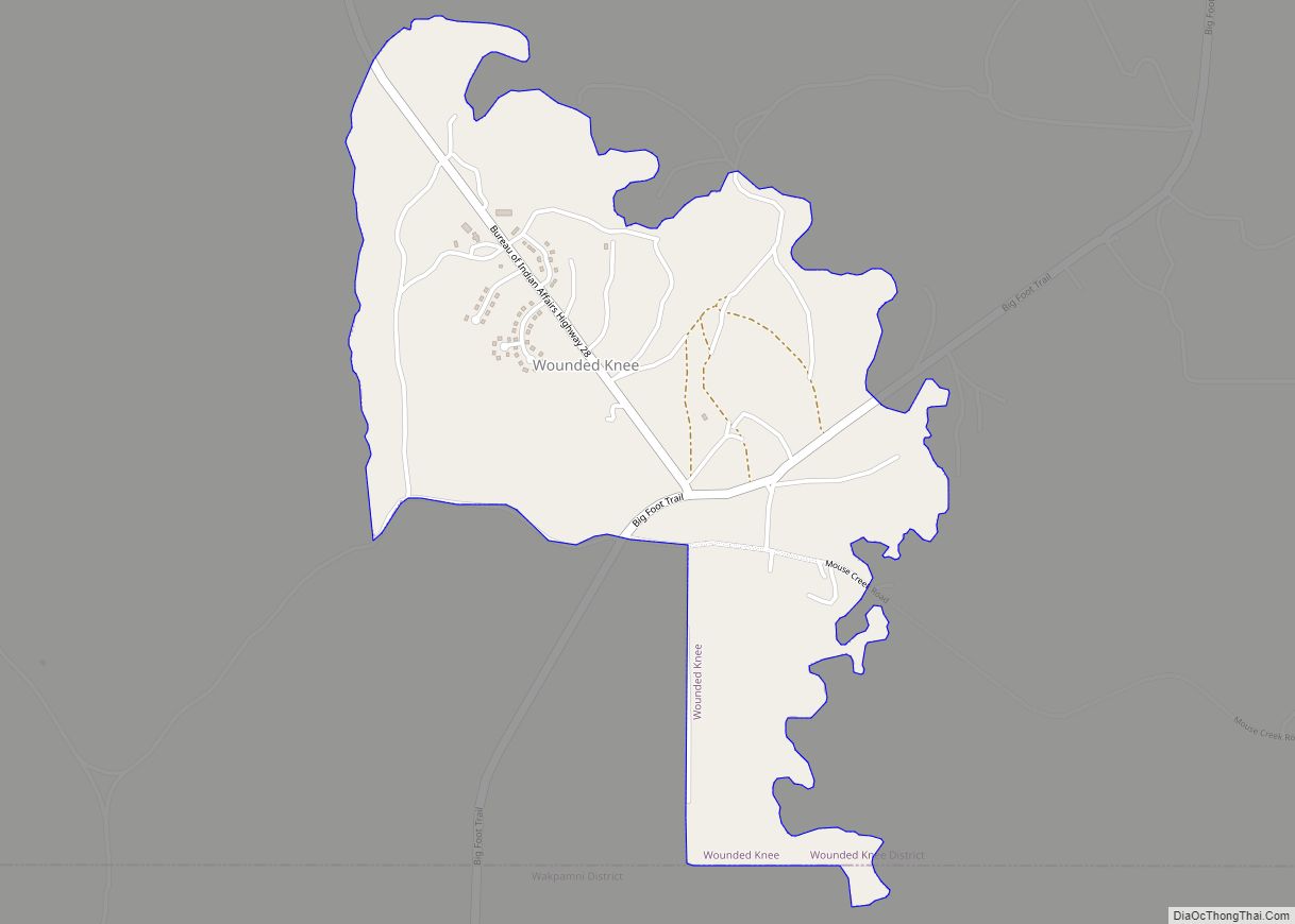
Wounded Knee (Lakota: Čaŋkpé Opí) is a census-designated place (CDP) on the Pine Ridge Indian Reservation in Oglala Lakota County, South Dakota, United States. The population was 364 at the 2020 census.
The town is named for the Wounded Knee Creek which runs through the region. The bones and heart of the Sioux chief Crazy Horse were reputedly buried along this creek by his family following his death in 1877. The town lies within the Pine Ridge Reservation, territory of the Oglala Lakota (Sioux).
| Name: | Wounded Knee CDP |
|---|---|
| LSAD Code: | 57 |
| LSAD Description: | CDP (suffix) |
| State: | South Dakota |
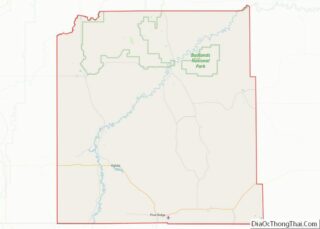
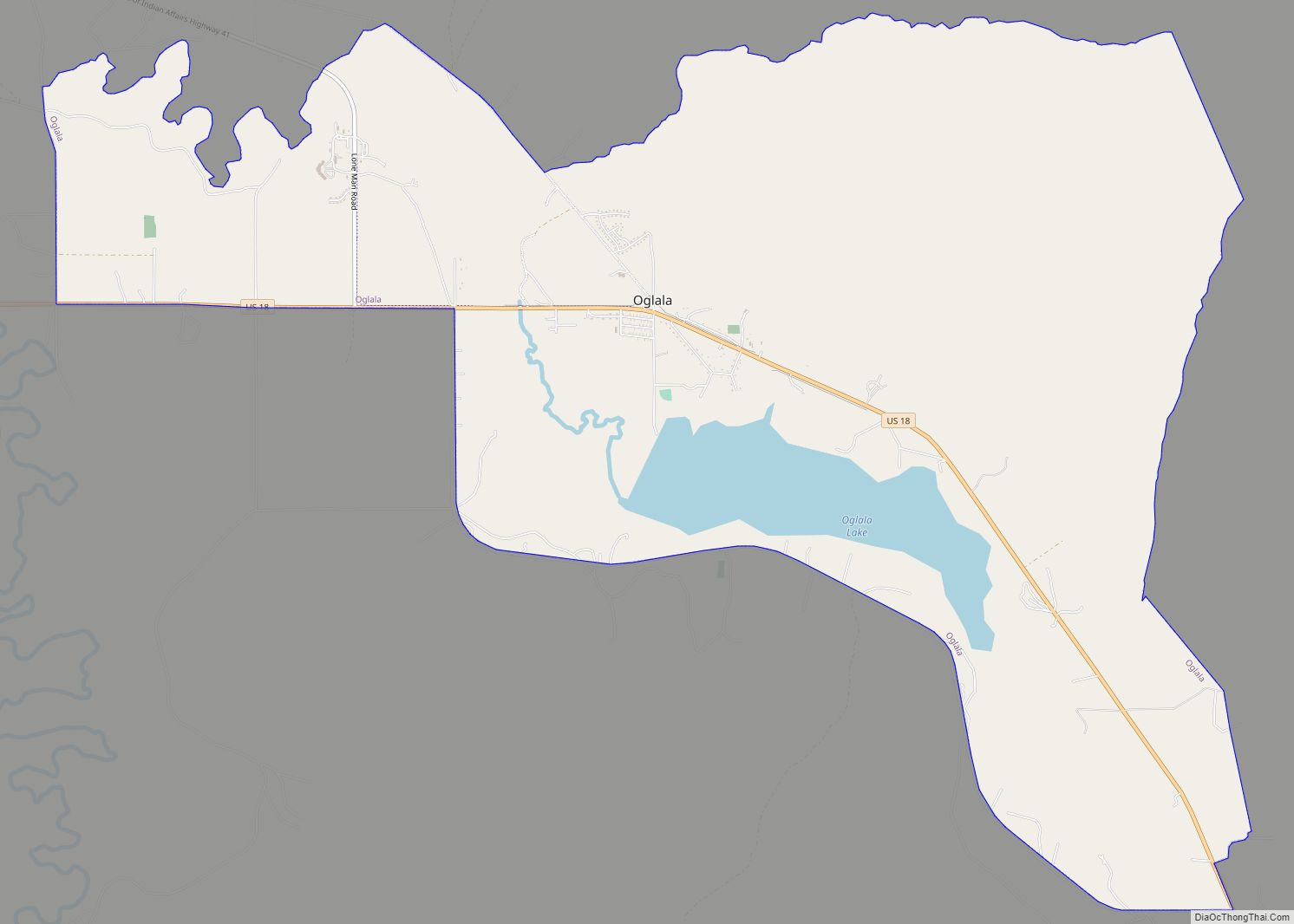
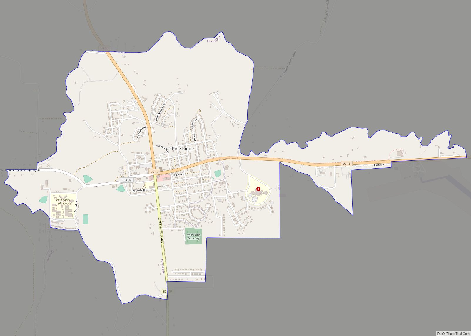
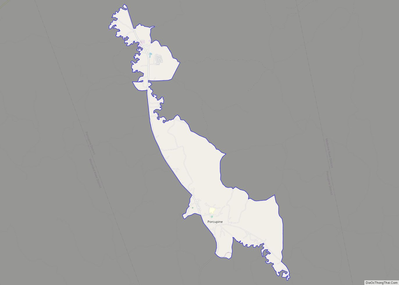
| County: | Oglala Lakota County |
| Elevation: | 3,235 ft (986 m) |
| Total Area: | 1.07 sq mi (2.77 km²) |
| Land Area: | 1.07 sq mi (2.77 km²) |
| Water Area: | 0.00 sq mi (0.00 km²) |
| Total Population: | 364 |
| Population Density: | 340.19/sq mi (131.33/km²) |
| ZIP code: | 57794 |
| Area code: | 605 |
| FIPS code: | 4672900 |
| GNISfeature ID: | 1265714 |
Online Interactive Map
Click on ![]() to view map in "full screen" mode.
to view map in "full screen" mode.
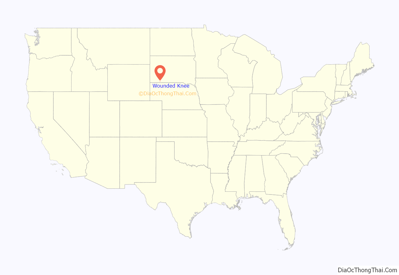
Wounded Knee location map. Where is Wounded Knee CDP?
History
On December 29, 1890, in the same area, in an incident known as the Wounded Knee Massacre, the United States 7th Cavalry killed more than 300 men, women and children who were being relocated to the Sioux reservation at Pine Ridge.
On February 27, 1973, during the Wounded Knee Occupation, the American Indian Movement (AIM) occupied the Pine Ridge Reservation near Wounded Knee in protest against the federal government and its policies related to Native Americans. A 71-day standoff between federal authorities and the AIM ensued. The group members surrendered on May 8.
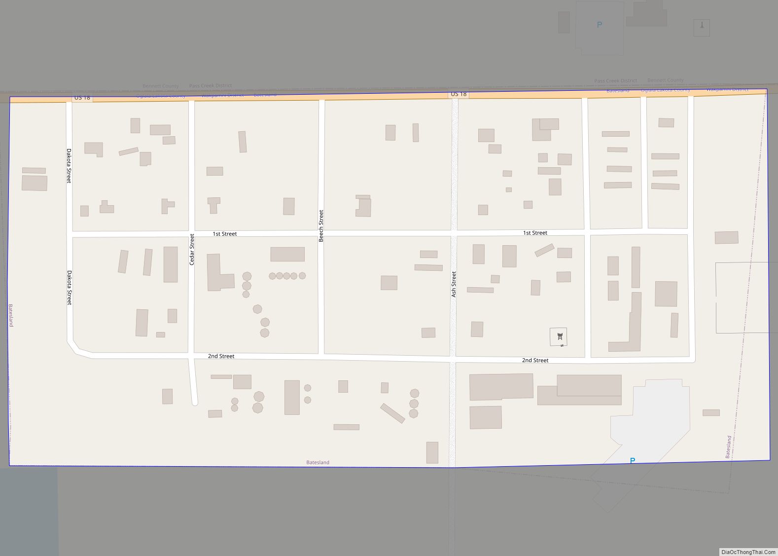
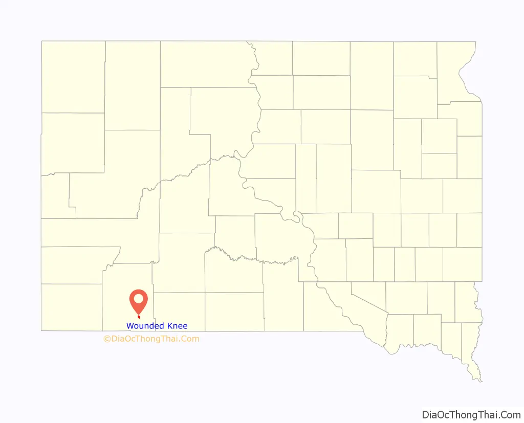
Wounded Knee Road Map

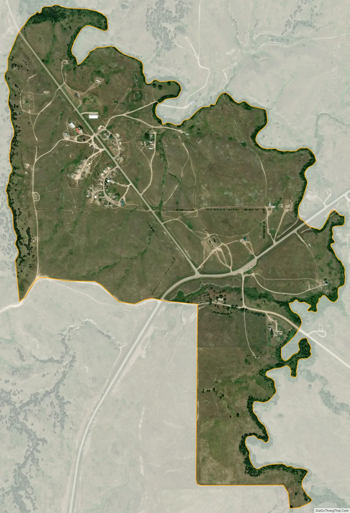
Wounded Knee city Satellite Map
Geography
Wounded Knee is located at 43°8′38″N 102°22′4″W / 43.14389°N 102.36778°W / 43.14389; -102.36778 (43.144002, -102.367712).
According to the United States Census Bureau, the CDP has a total area of 1.1 square miles (2.8 km), all land.
Wounded Knee has been assigned the ZIP code 57794.
See also
Map of South Dakota State and its subdivision:- Aurora
- Beadle
- Bennett
- Bon Homme
- Brookings
- Brown
- Brule
- Buffalo
- Butte
- Campbell
- Charles Mix
- Clark
- Clay
- Codington
- Corson
- Custer
- Davison
- Day
- Deuel
- Dewey
- Douglas
- Edmunds
- Fall River
- Faulk
- Grant
- Gregory
- Haakon
- Hamlin
- Hand
- Hanson
- Harding
- Hughes
- Hutchinson
- Hyde
- Jackson
- Jerauld
- Jones
- Kingsbury
- Lake
- Lawrence
- Lincoln
- Lyman
- Marshall
- McCook
- McPherson
- Meade
- Mellette
- Miner
- Minnehaha
- Moody
- Pennington
- Perkins
- Potter
- Roberts
- Sanborn
- Shannon
- Spink
- Stanley
- Sully
- Todd
- Tripp
- Turner
- Union
- Walworth
- Yankton
- Ziebach
- Alabama
- Alaska
- Arizona
- Arkansas
- California
- Colorado
- Connecticut
- Delaware
- District of Columbia
- Florida
- Georgia
- Hawaii
- Idaho
- Illinois
- Indiana
- Iowa
- Kansas
- Kentucky
- Louisiana
- Maine
- Maryland
- Massachusetts
- Michigan
- Minnesota
- Mississippi
- Missouri
- Montana
- Nebraska
- Nevada
- New Hampshire
- New Jersey
- New Mexico
- New York
- North Carolina
- North Dakota
- Ohio
- Oklahoma
- Oregon
- Pennsylvania
- Rhode Island
- South Carolina
- South Dakota
- Tennessee
- Texas
- Utah
- Vermont
- Virginia
- Washington
- West Virginia
- Wisconsin
- Wyoming