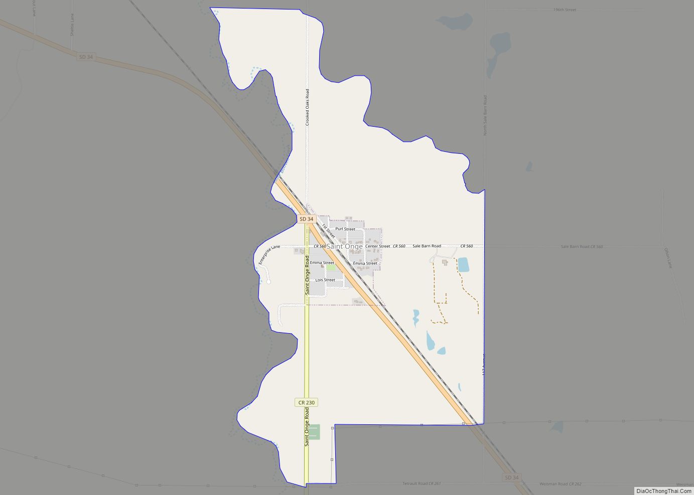
Saint Onge (pronounced “saynt AHNJ'”) is an unincorporated community and census-designated place (CDP) in Lawrence County, South Dakota, United States. As of the 2020 census, the population was 170.
| Name: | St. Onge CDP |
|---|---|
| LSAD Code: | 57 |
| LSAD Description: | CDP (suffix) |
| State: | South Dakota |
| County: | Lawrence County |
| Elevation: | 3,432 ft (1,046 m) |
| Total Area: | 1.34 sq mi (3.48 km²) |
| Land Area: | 1.34 sq mi (3.48 km²) |
| Water Area: | 0.00 sq mi (0.00 km²) |
| Total Population: | 170 |
| Population Density: | 126.39/sq mi (48.82/km²) |
| ZIP code: | 57779 |
| FIPS code: | 4657260 |
| GNISfeature ID: | 1257699 |
Online Interactive Map
Click on ![]() to view map in "full screen" mode.
to view map in "full screen" mode.
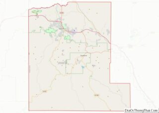
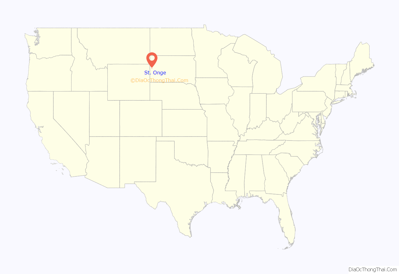
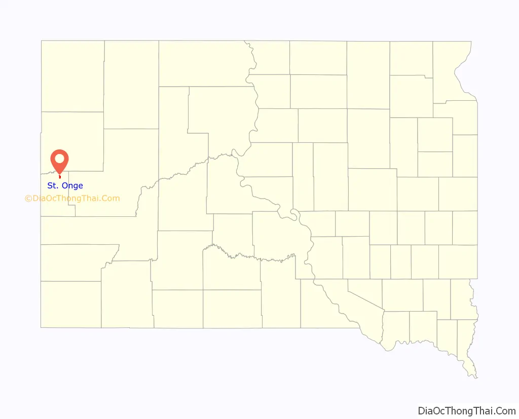
St. Onge location map. Where is St. Onge CDP?
History
Saint Onge was laid out in 1881. The community was named for Henry St. Onge, a pioneer settler. A post office called Saint Onge has been in operation since 1881. Saint Onge has been assigned the ZIP code of 57779.
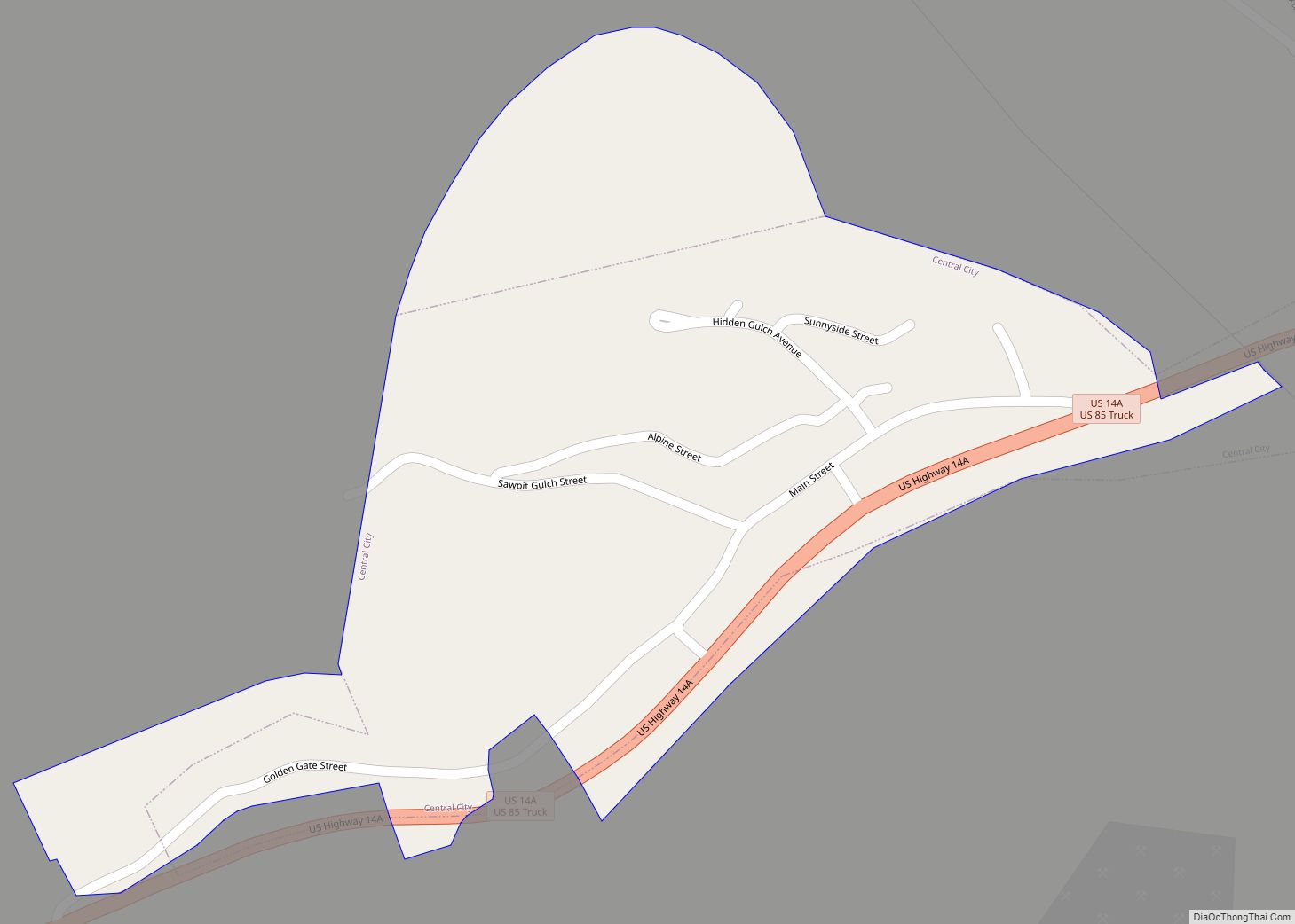
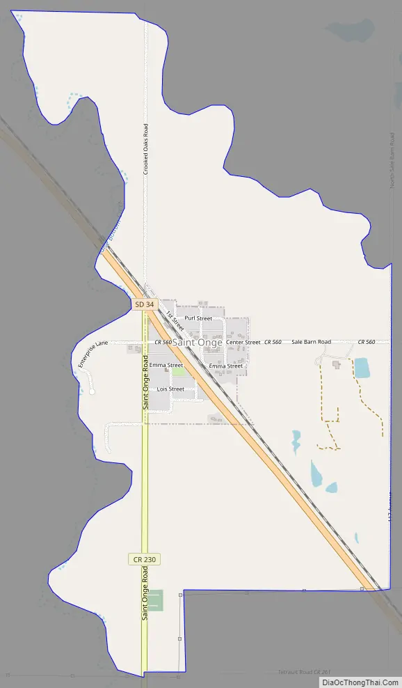
St. Onge Road Map
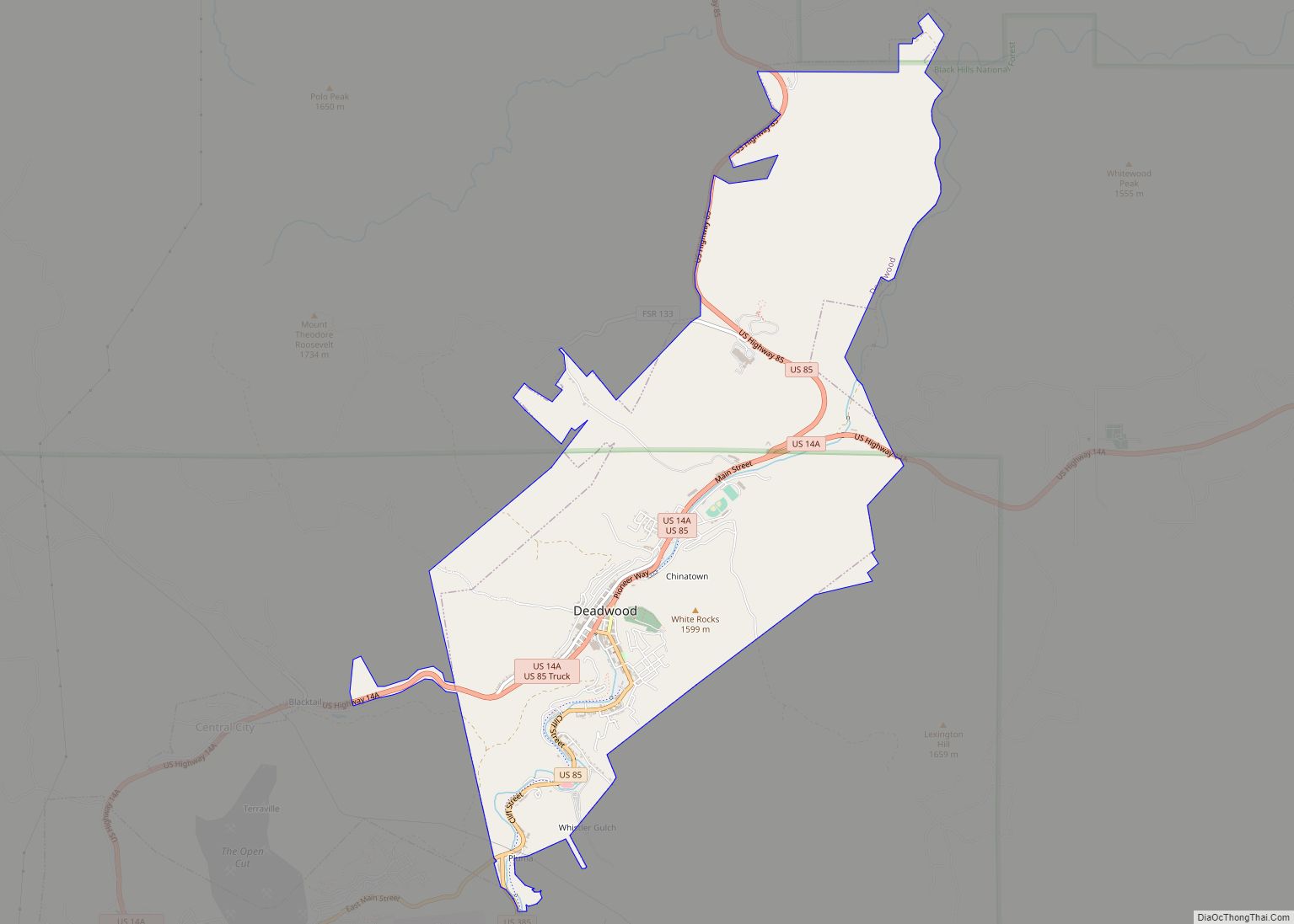
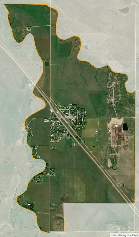
St. Onge city Satellite Map
Geography
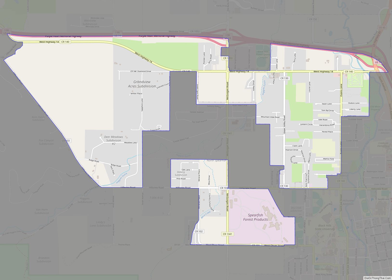
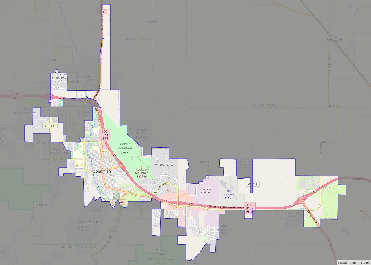
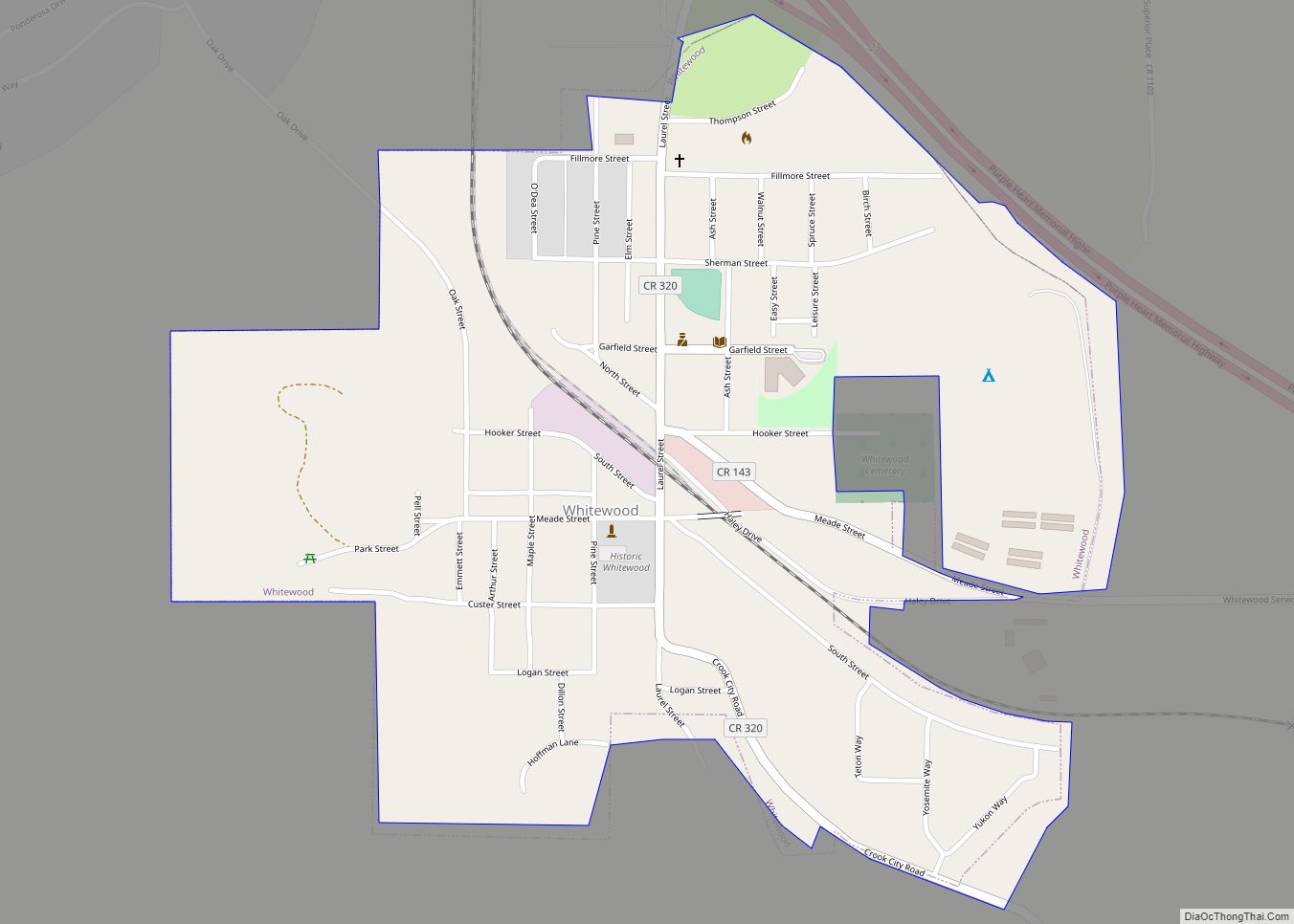
St. Onge is in northeastern Lawrence County, along South Dakota Highway 34, which leads northwest 12 miles (19 km) to Belle Fourche and southeast 7 miles (11 km) to Interstate 90 at Whitewood. Spearfish, the largest community in the county, is 12 miles (19 km) to the southwest.
According to the U.S. Census Bureau, the St. Onge CDP has an area of 1.4 square miles (3.5 km), all land. False Bottom Creek forms the western edge of the community, and its tributary Dry Creek forms the northeastern edge. False Bottom Creek flows northwest to the Redwater River, which in turn is a tributary of the Belle Fourche River, flowing east to the Missouri.
See also
Map of South Dakota State and its subdivision:- Aurora
- Beadle
- Bennett
- Bon Homme
- Brookings
- Brown
- Brule
- Buffalo
- Butte
- Campbell
- Charles Mix
- Clark
- Clay
- Codington
- Corson
- Custer
- Davison
- Day
- Deuel
- Dewey
- Douglas
- Edmunds
- Fall River
- Faulk
- Grant
- Gregory
- Haakon
- Hamlin
- Hand
- Hanson
- Harding
- Hughes
- Hutchinson
- Hyde
- Jackson
- Jerauld
- Jones
- Kingsbury
- Lake
- Lawrence
- Lincoln
- Lyman
- Marshall
- McCook
- McPherson
- Meade
- Mellette
- Miner
- Minnehaha
- Moody
- Pennington
- Perkins
- Potter
- Roberts
- Sanborn
- Shannon
- Spink
- Stanley
- Sully
- Todd
- Tripp
- Turner
- Union
- Walworth
- Yankton
- Ziebach
- Alabama
- Alaska
- Arizona
- Arkansas
- California
- Colorado
- Connecticut
- Delaware
- District of Columbia
- Florida
- Georgia
- Hawaii
- Idaho
- Illinois
- Indiana
- Iowa
- Kansas
- Kentucky
- Louisiana
- Maine
- Maryland
- Massachusetts
- Michigan
- Minnesota
- Mississippi
- Missouri
- Montana
- Nebraska
- Nevada
- New Hampshire
- New Jersey
- New Mexico
- New York
- North Carolina
- North Dakota
- Ohio
- Oklahoma
- Oregon
- Pennsylvania
- Rhode Island
- South Carolina
- South Dakota
- Tennessee
- Texas
- Utah
- Vermont
- Virginia
- Washington
- West Virginia
- Wisconsin
- Wyoming