Valley Springs is a city in Minnehaha County, South Dakota, United States. The population was 885 at the 2020 census.
| Name: | Valley Springs city |
|---|---|
| LSAD Code: | 25 |
| LSAD Description: | city (suffix) |
| State: | South Dakota |
| County: | Minnehaha County |
| Incorporated: | 1879 |
| Elevation: | 1,404 ft (428 m) |
| Total Area: | 0.99 sq mi (2.55 km²) |
| Land Area: | 0.98 sq mi (2.55 km²) |
| Water Area: | 0.00 sq mi (0.00 km²) |
| Total Population: | 885 |
| Population Density: | 898.48/sq mi (347.03/km²) |
| ZIP code: | 57068 |
| Area code: | 605 |
| FIPS code: | 4666260 |
| GNISfeature ID: | 1258730 |
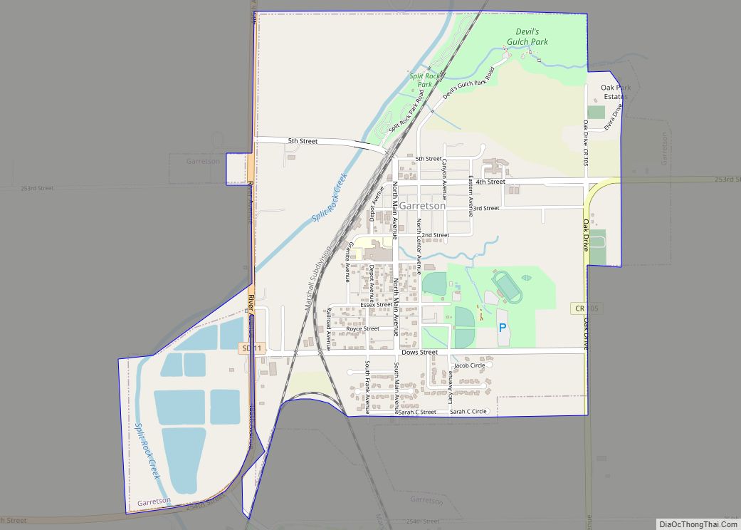
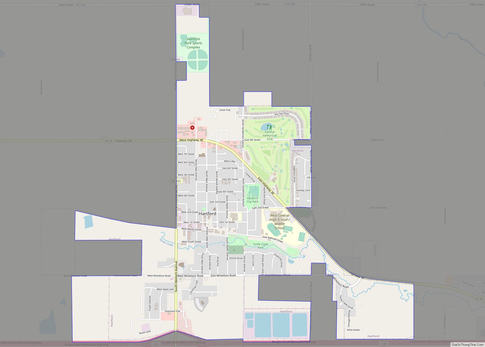
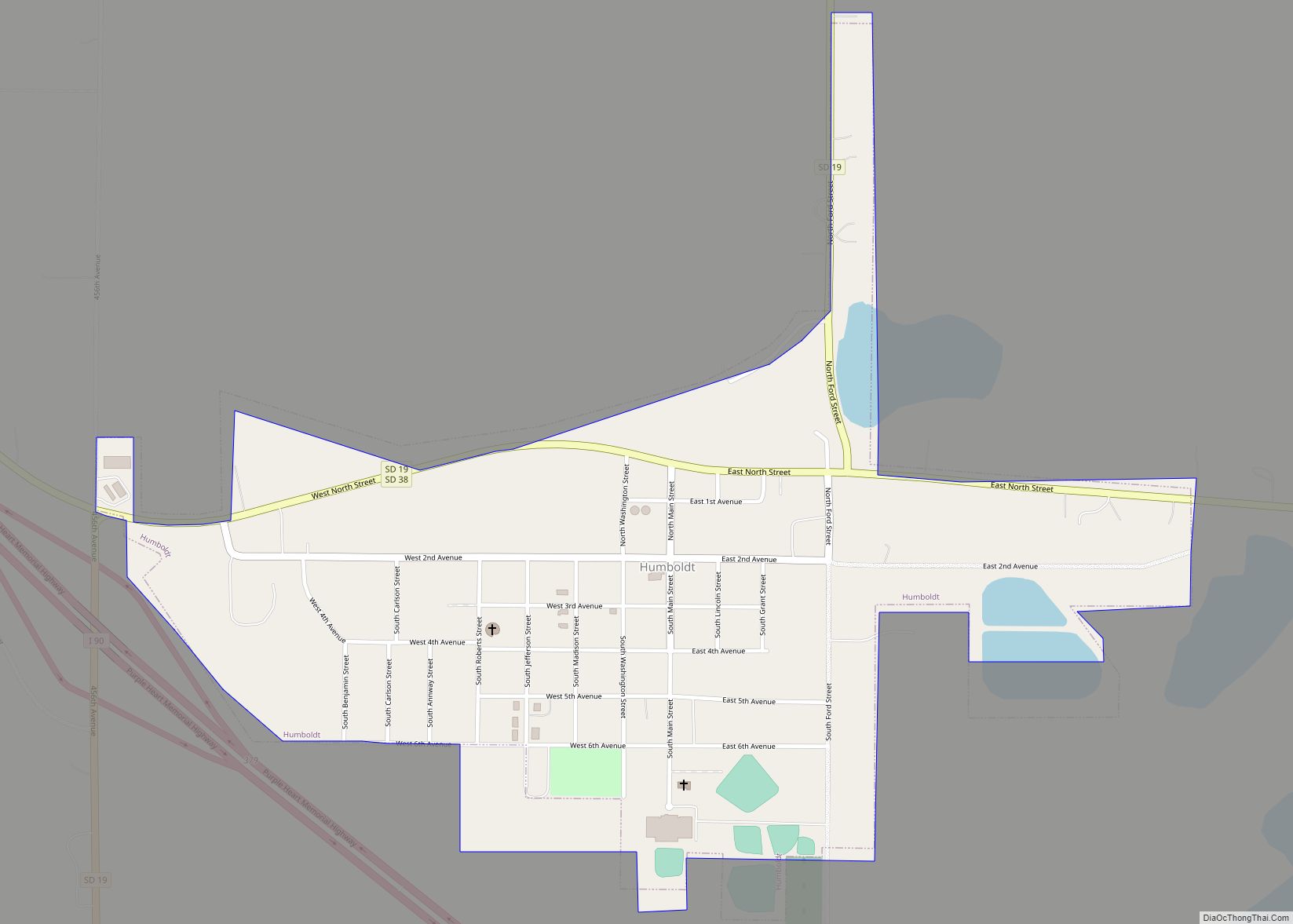
Online Interactive Map
Click on ![]() to view map in "full screen" mode.
to view map in "full screen" mode.
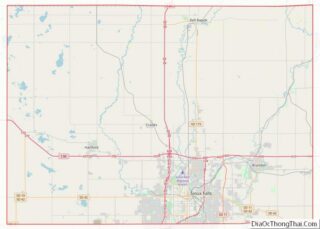
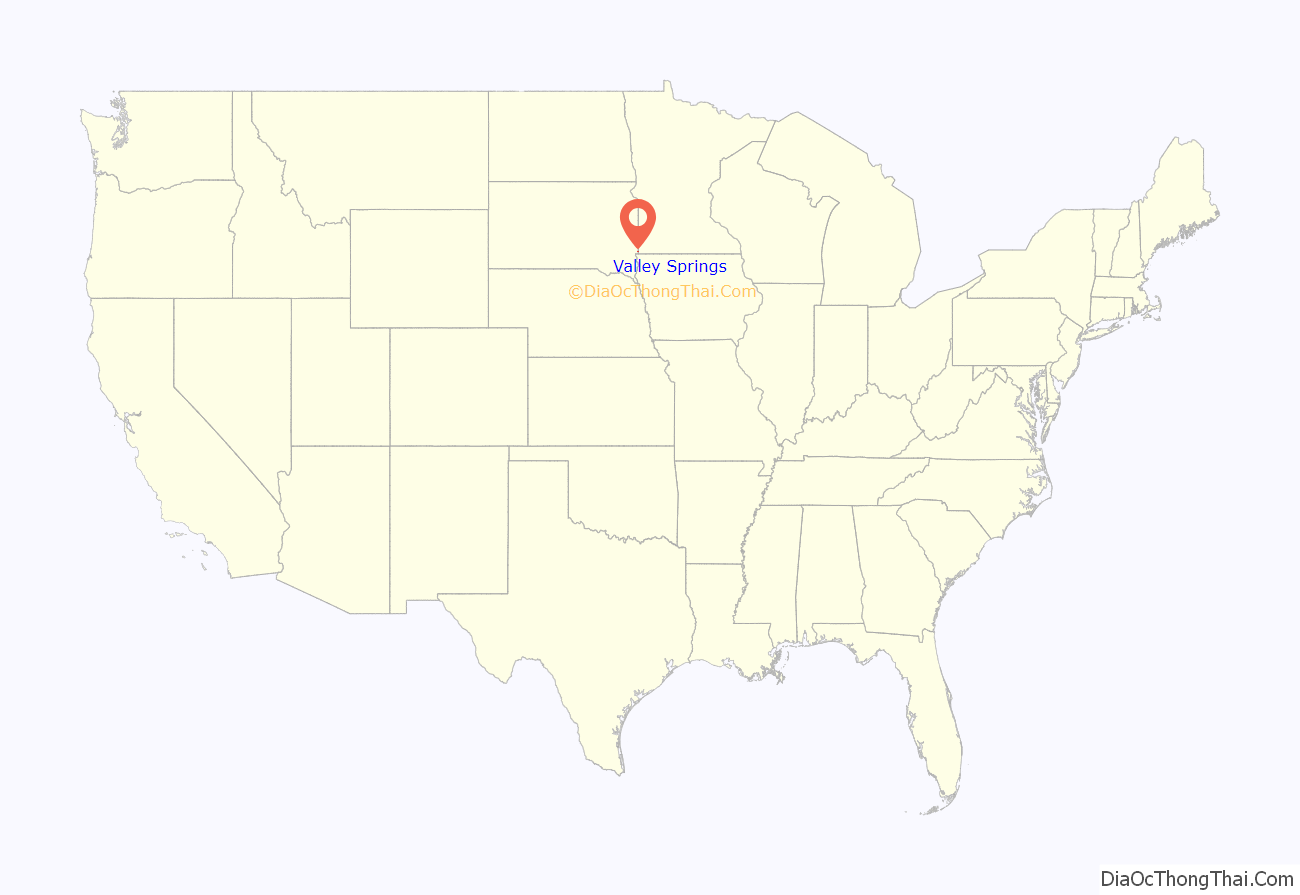
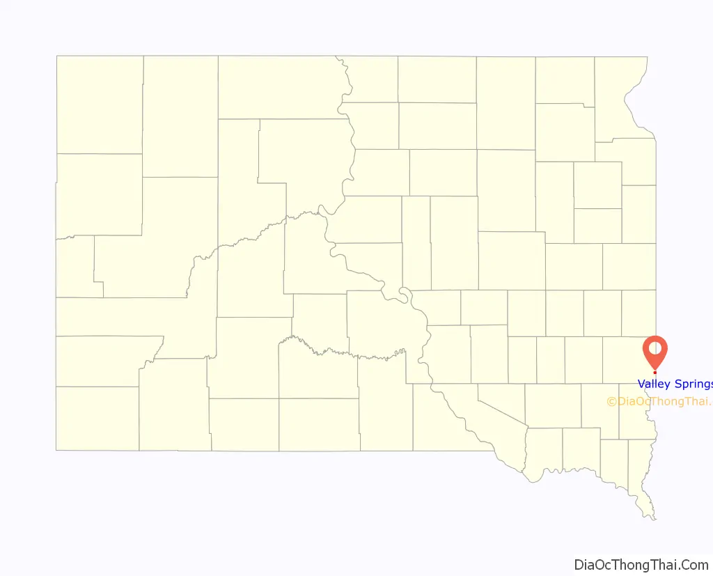
Valley Springs location map. Where is Valley Springs city?
History
Valley Springs was founded on November 13, 1872, and incorporated on February 22, 1879. The city was named from nearby springs in the valley of Beaver Creek.
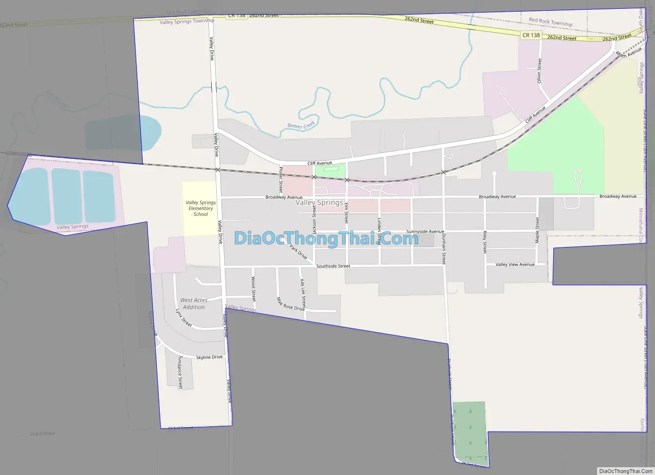
Valley Springs Road Map
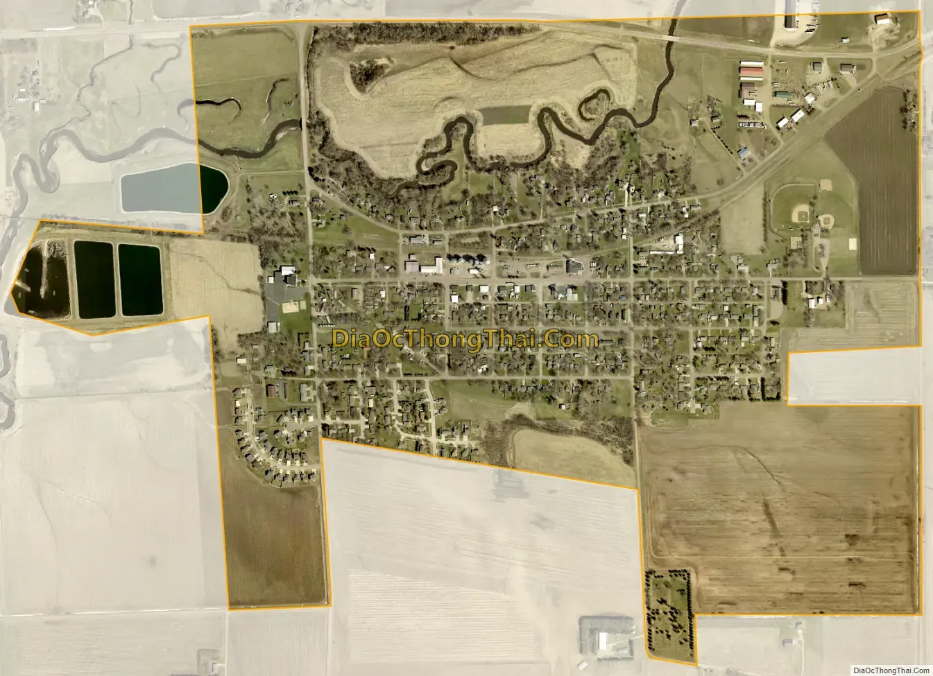
Valley Springs city Satellite Map
Geography
Valley Springs lies near the South Dakota—Minnesota state line. According to the United States Census Bureau, the city has a total area of 0.82 square miles (2.12 km), all land.
See also
Map of South Dakota State and its subdivision:- Aurora
- Beadle
- Bennett
- Bon Homme
- Brookings
- Brown
- Brule
- Buffalo
- Butte
- Campbell
- Charles Mix
- Clark
- Clay
- Codington
- Corson
- Custer
- Davison
- Day
- Deuel
- Dewey
- Douglas
- Edmunds
- Fall River
- Faulk
- Grant
- Gregory
- Haakon
- Hamlin
- Hand
- Hanson
- Harding
- Hughes
- Hutchinson
- Hyde
- Jackson
- Jerauld
- Jones
- Kingsbury
- Lake
- Lawrence
- Lincoln
- Lyman
- Marshall
- McCook
- McPherson
- Meade
- Mellette
- Miner
- Minnehaha
- Moody
- Pennington
- Perkins
- Potter
- Roberts
- Sanborn
- Shannon
- Spink
- Stanley
- Sully
- Todd
- Tripp
- Turner
- Union
- Walworth
- Yankton
- Ziebach
- Alabama
- Alaska
- Arizona
- Arkansas
- California
- Colorado
- Connecticut
- Delaware
- District of Columbia
- Florida
- Georgia
- Hawaii
- Idaho
- Illinois
- Indiana
- Iowa
- Kansas
- Kentucky
- Louisiana
- Maine
- Maryland
- Massachusetts
- Michigan
- Minnesota
- Mississippi
- Missouri
- Montana
- Nebraska
- Nevada
- New Hampshire
- New Jersey
- New Mexico
- New York
- North Carolina
- North Dakota
- Ohio
- Oklahoma
- Oregon
- Pennsylvania
- Rhode Island
- South Carolina
- South Dakota
- Tennessee
- Texas
- Utah
- Vermont
- Virginia
- Washington
- West Virginia
- Wisconsin
- Wyoming