Winfred is an unincorporated community and census-designated place (CDP) in Lake County, South Dakota, United States, approximately 12 miles (19 km) west of Madison. The population was 38 as of the 2020 census. Winfred has been assigned the ZIP code of 57076.
| Name: | Winfred CDP |
|---|---|
| LSAD Code: | 57 |
| LSAD Description: | CDP (suffix) |
| State: | South Dakota |
| County: | Lake County |
| Founded: | 1882 |
| Elevation: | 1,710 ft (520 m) |
| Total Area: | 1.04 sq mi (2.69 km²) |
| Land Area: | 1.00 sq mi (2.59 km²) |
| Water Area: | 0.04 sq mi (0.10 km²) |
| Total Population: | 38 |
| Population Density: | 37.96/sq mi (14.66/km²) |
| ZIP code: | 57076 |
| Area code: | 605 |
| FIPS code: | 4672100 |
| GNISfeature ID: | 1259047 |
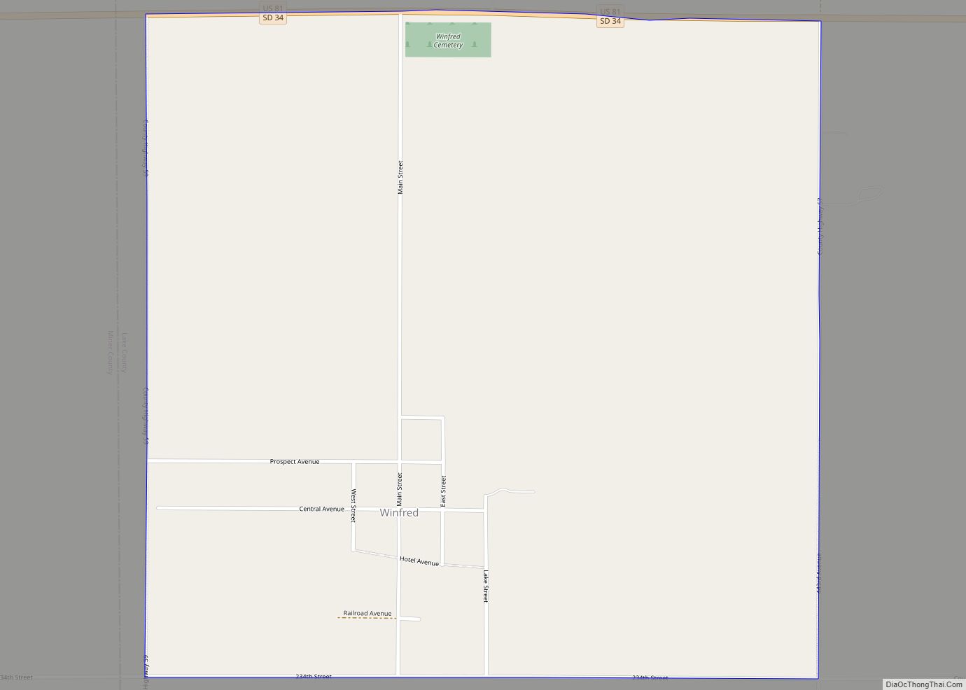
Online Interactive Map
Click on ![]() to view map in "full screen" mode.
to view map in "full screen" mode.
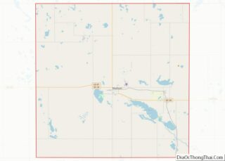
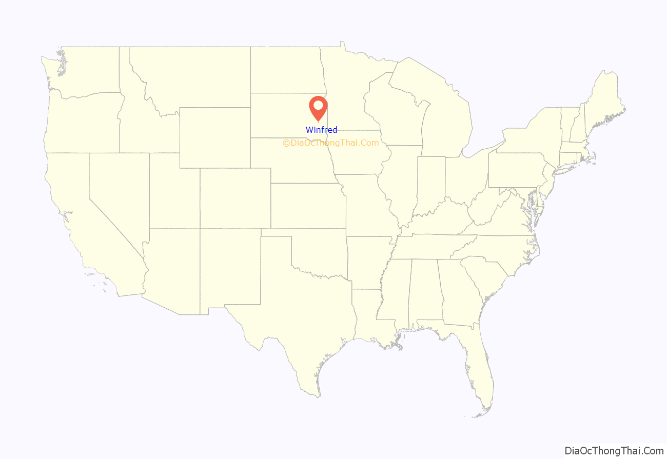
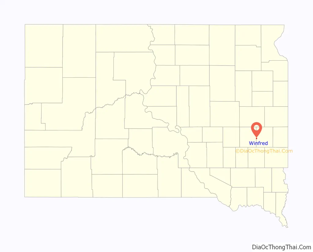
Winfred location map. Where is Winfred CDP?
History
Winfred was laid out in 1882. The town was unincorporated in 1995.
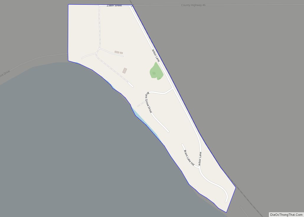
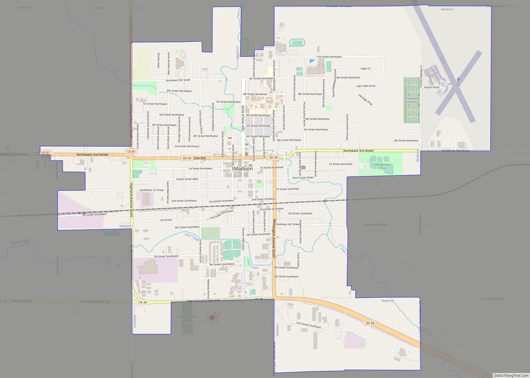
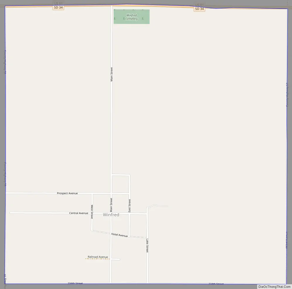
Winfred Road Map
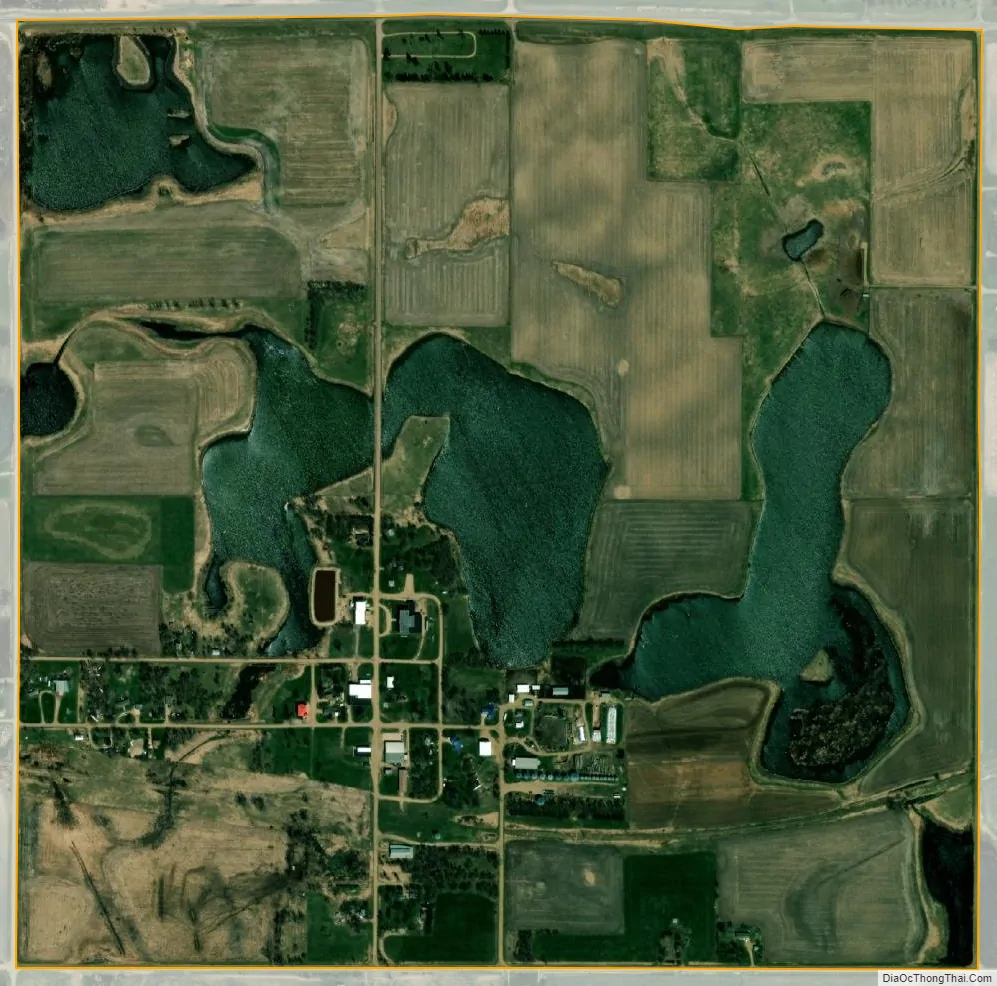
Winfred city Satellite Map
Geography
Winfred is in western Lake County, in the northwest part of Winfred Township. Its western boundary is the border with Miner County. U.S. Route 81 and South Dakota Highway 34, running concurrently, form the northern border of the community. The two highways lead east to Madison, the county seat, while to the west they divide a short distance into Miner County. US-81 leads south 24 miles (39 km) to Interstate 90 south of Salem, while SD-34 leads west 8 miles (13 km) to Howard.
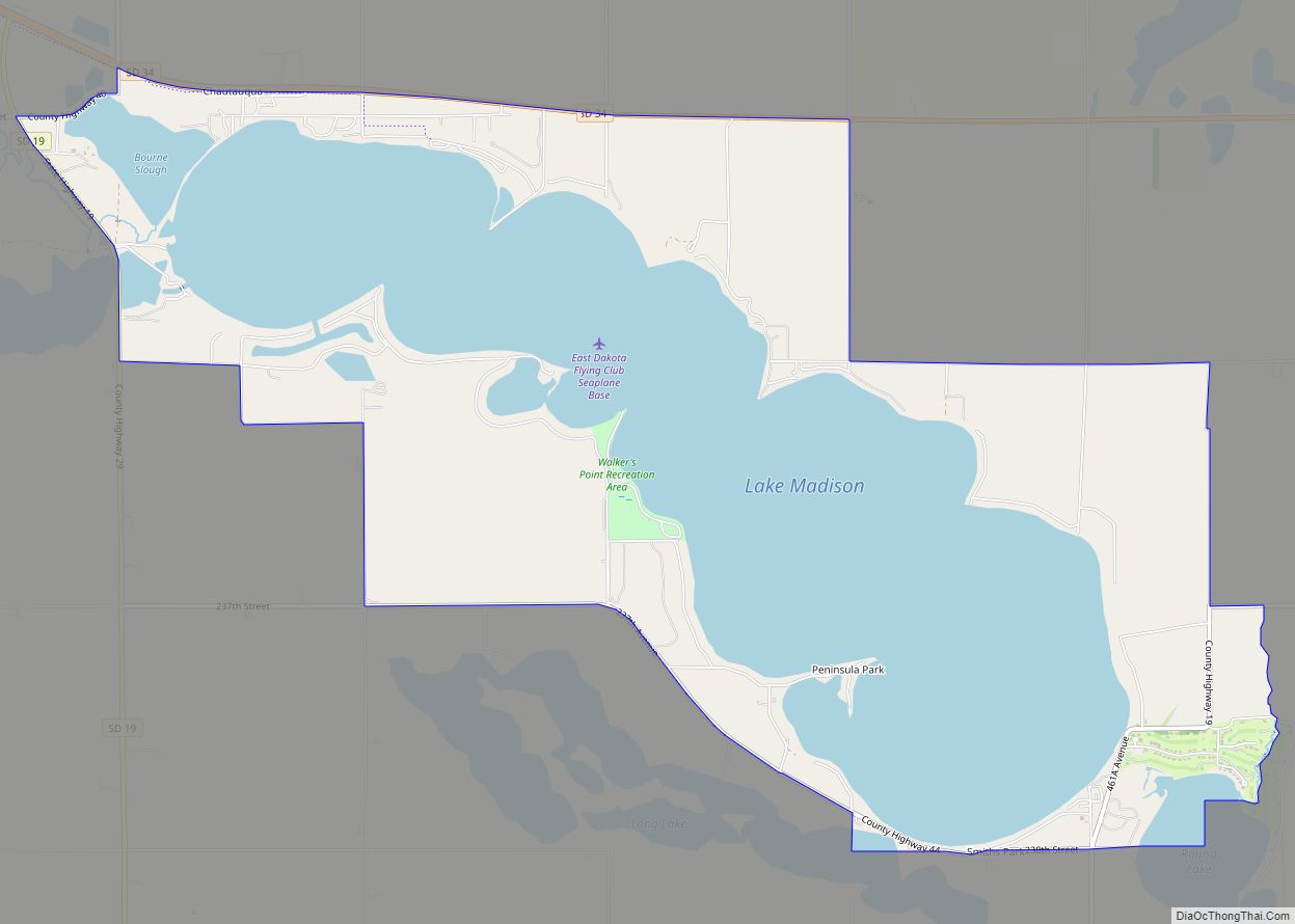
According to the U.S. Census Bureau, the Winfred CDP has an area of 1.0 square mile (2.7 km), of which 0.04 square miles (0.1 km), or 3.68%, are water. Lake Winfred is a natural water body northeast of the center of town.
See also
Map of South Dakota State and its subdivision:- Aurora
- Beadle
- Bennett
- Bon Homme
- Brookings
- Brown
- Brule
- Buffalo
- Butte
- Campbell
- Charles Mix
- Clark
- Clay
- Codington
- Corson
- Custer
- Davison
- Day
- Deuel
- Dewey
- Douglas
- Edmunds
- Fall River
- Faulk
- Grant
- Gregory
- Haakon
- Hamlin
- Hand
- Hanson
- Harding
- Hughes
- Hutchinson
- Hyde
- Jackson
- Jerauld
- Jones
- Kingsbury
- Lake
- Lawrence
- Lincoln
- Lyman
- Marshall
- McCook
- McPherson
- Meade
- Mellette
- Miner
- Minnehaha
- Moody
- Pennington
- Perkins
- Potter
- Roberts
- Sanborn
- Shannon
- Spink
- Stanley
- Sully
- Todd
- Tripp
- Turner
- Union
- Walworth
- Yankton
- Ziebach
- Alabama
- Alaska
- Arizona
- Arkansas
- California
- Colorado
- Connecticut
- Delaware
- District of Columbia
- Florida
- Georgia
- Hawaii
- Idaho
- Illinois
- Indiana
- Iowa
- Kansas
- Kentucky
- Louisiana
- Maine
- Maryland
- Massachusetts
- Michigan
- Minnesota
- Mississippi
- Missouri
- Montana
- Nebraska
- Nevada
- New Hampshire
- New Jersey
- New Mexico
- New York
- North Carolina
- North Dakota
- Ohio
- Oklahoma
- Oregon
- Pennsylvania
- Rhode Island
- South Carolina
- South Dakota
- Tennessee
- Texas
- Utah
- Vermont
- Virginia
- Washington
- West Virginia
- Wisconsin
- Wyoming