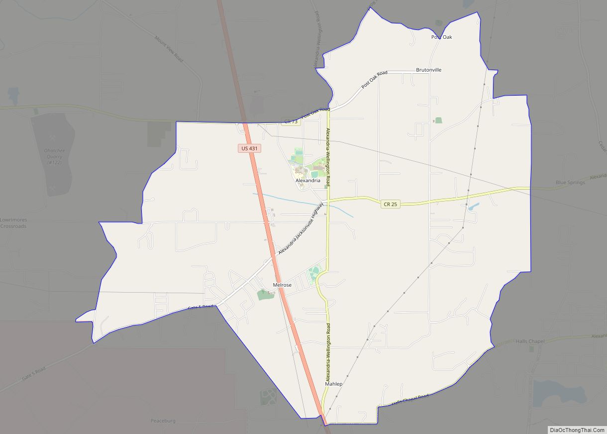
Alexandria is a census-designated place and unincorporated community in Calhoun County, Alabama, United States. At the 2020 census, the population was 4,032. It is included in the Anniston–Oxford, Alabama Metropolitan Statistical Area.
| Name: | Alexandria CDP |
|---|---|
| LSAD Code: | 57 |
| LSAD Description: | CDP (suffix) |
| State: | Alabama |
| County: | Calhoun County |
| Elevation: | 577 ft (176 m) |
| Total Area: | 11.15 sq mi (28.87 km²) |
| Land Area: | 11.13 sq mi (28.84 km²) |
| Water Area: | 0.01 sq mi (0.03 km²) |
| Total Population: | 4,032 |
| Population Density: | 362.10/sq mi (139.80/km²) |
| ZIP code: | 36250 |
| Area code: | 256 |
| FIPS code: | 0101180 |
| GNISfeature ID: | 0157876 |
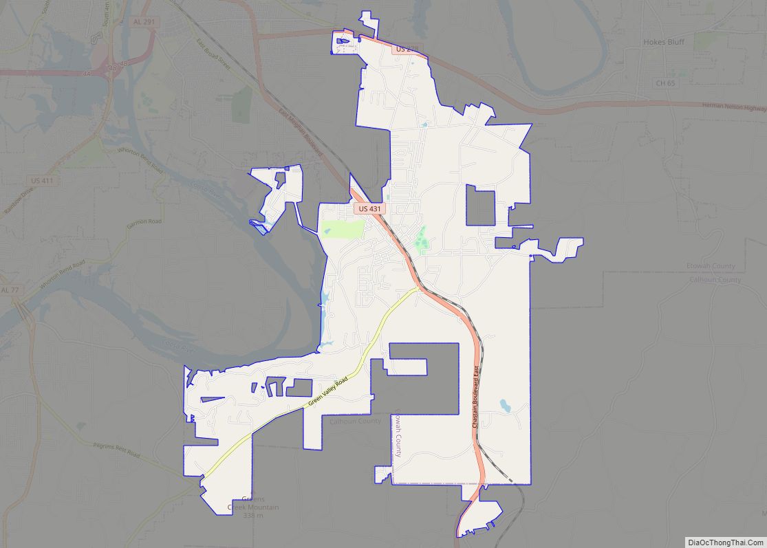
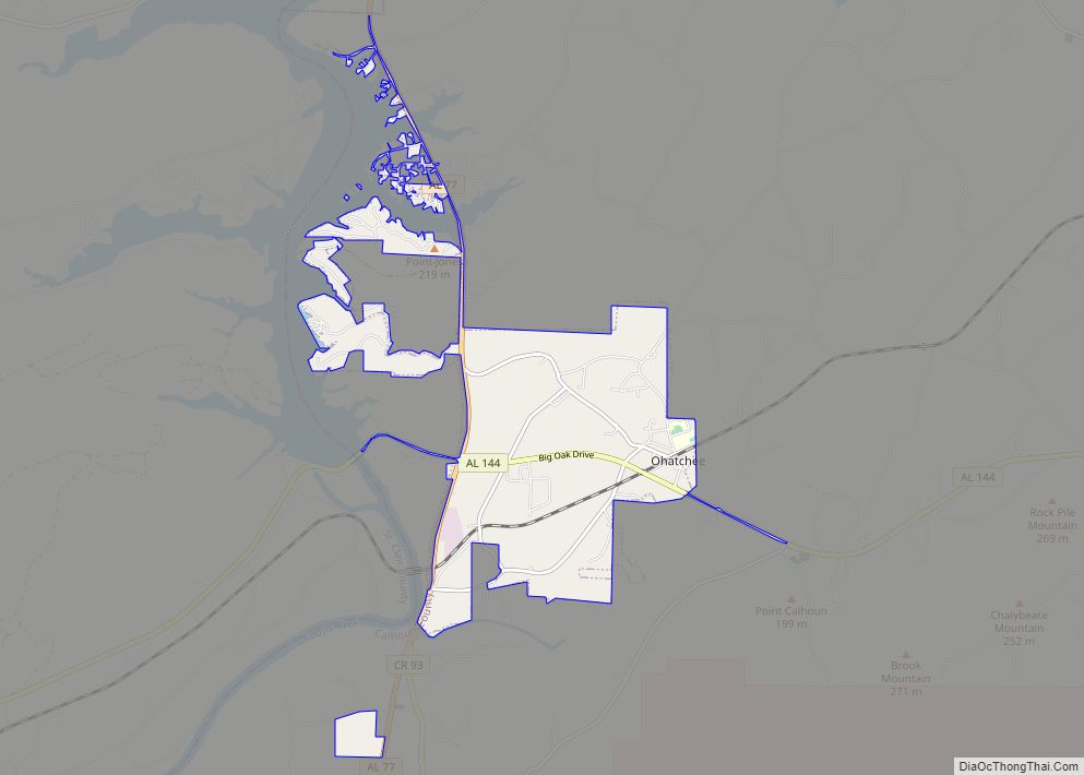
Online Interactive Map
Click on ![]() to view map in "full screen" mode.
to view map in "full screen" mode.
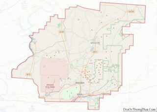
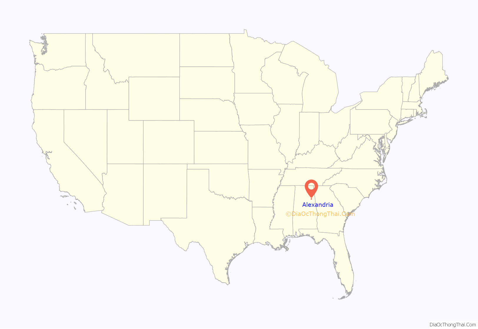
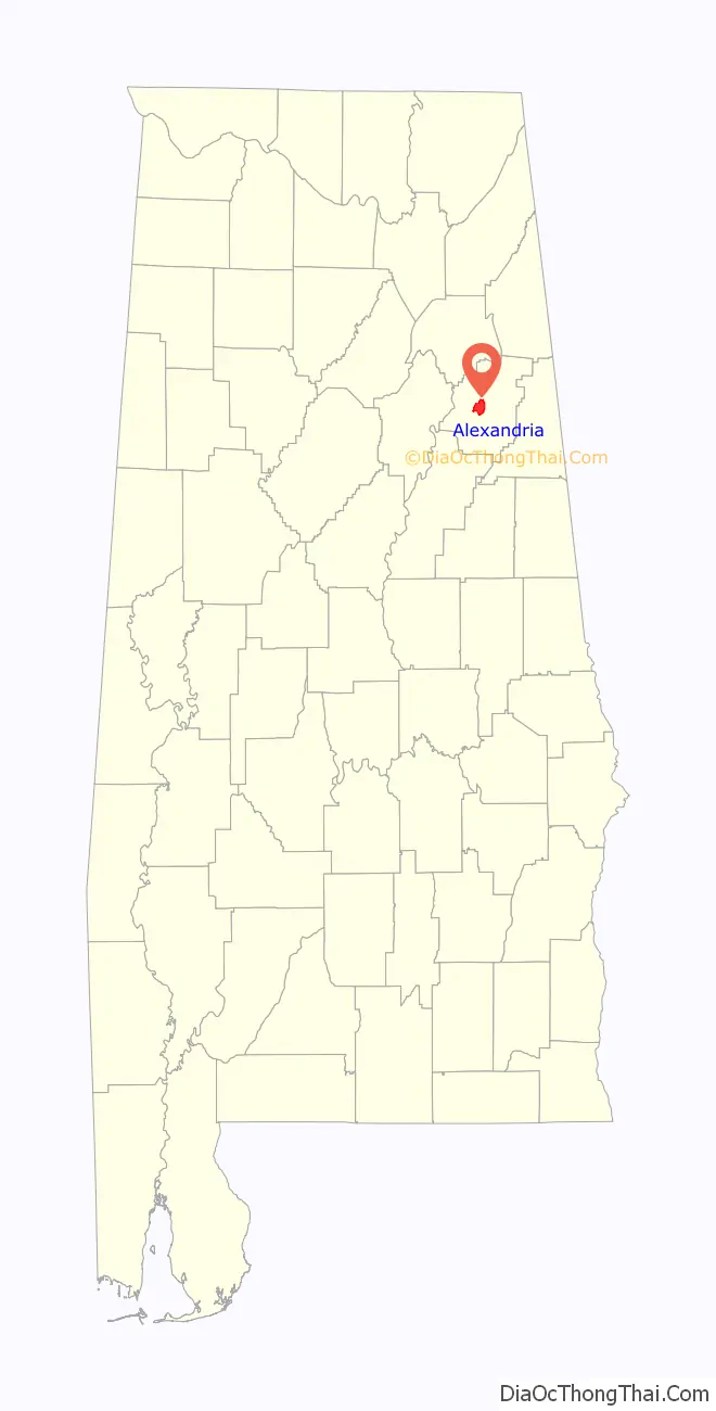
Alexandria location map. Where is Alexandria CDP?
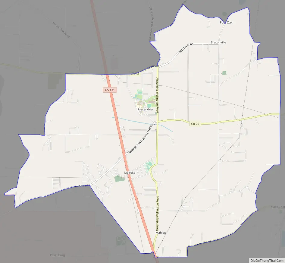
Alexandria Road Map
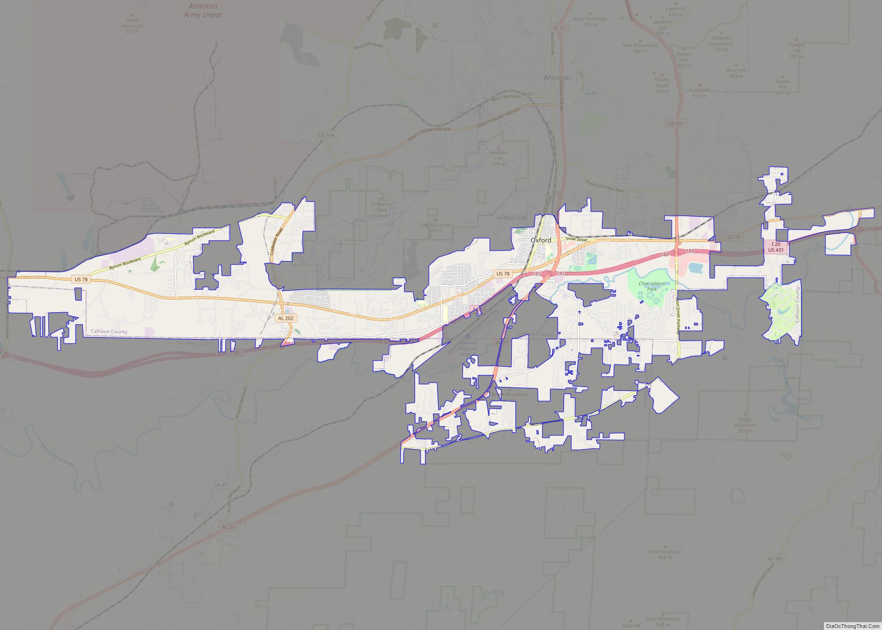
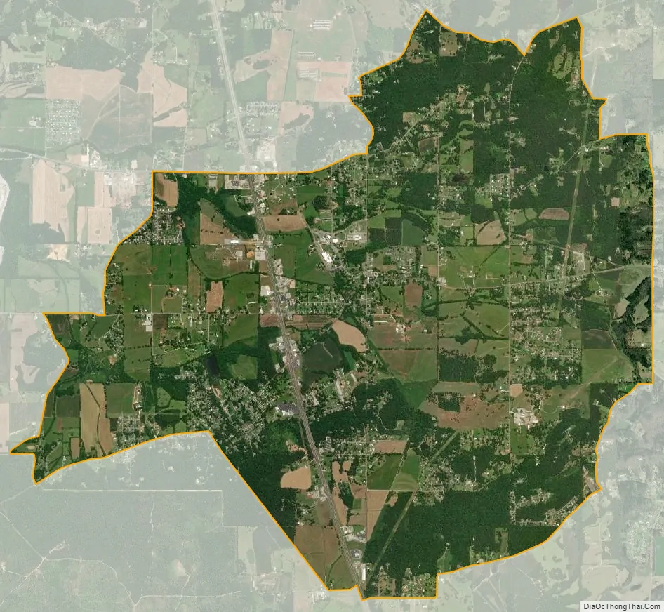
Alexandria city Satellite Map
Geography
Alexandria is located near the center of Calhoun County at 33°45′57″N 85°53′3″W / 33.76583°N 85.88417°W / 33.76583; -85.88417 (33.766072, -85.884389). It is bordered to the south by the Saks CDP.
According to the U.S. Census Bureau, the Alexandria CDP has a total area of 11.1 square miles (28.8 km), of which 0.012 square miles (0.03 km), or 0.11%, is water.
See also
Map of Alabama State and its subdivision:- Autauga
- Baldwin
- Barbour
- Bibb
- Blount
- Bullock
- Butler
- Calhoun
- Chambers
- Cherokee
- Chilton
- Choctaw
- Clarke
- Clay
- Cleburne
- Coffee
- Colbert
- Conecuh
- Coosa
- Covington
- Crenshaw
- Cullman
- Dale
- Dallas
- De Kalb
- Elmore
- Escambia
- Etowah
- Fayette
- Franklin
- Geneva
- Greene
- Hale
- Henry
- Houston
- Jackson
- Jefferson
- Lamar
- Lauderdale
- Lawrence
- Lee
- Limestone
- Lowndes
- Macon
- Madison
- Marengo
- Marion
- Marshall
- Mobile
- Monroe
- Montgomery
- Morgan
- Perry
- Pickens
- Pike
- Randolph
- Russell
- Saint Clair
- Shelby
- Sumter
- Talladega
- Tallapoosa
- Tuscaloosa
- Walker
- Washington
- Wilcox
- Winston
- Alabama
- Alaska
- Arizona
- Arkansas
- California
- Colorado
- Connecticut
- Delaware
- District of Columbia
- Florida
- Georgia
- Hawaii
- Idaho
- Illinois
- Indiana
- Iowa
- Kansas
- Kentucky
- Louisiana
- Maine
- Maryland
- Massachusetts
- Michigan
- Minnesota
- Mississippi
- Missouri
- Montana
- Nebraska
- Nevada
- New Hampshire
- New Jersey
- New Mexico
- New York
- North Carolina
- North Dakota
- Ohio
- Oklahoma
- Oregon
- Pennsylvania
- Rhode Island
- South Carolina
- South Dakota
- Tennessee
- Texas
- Utah
- Vermont
- Virginia
- Washington
- West Virginia
- Wisconsin
- Wyoming