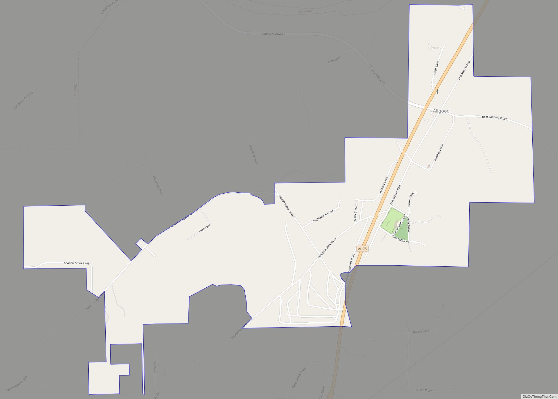
Allgood, formerly known as Chepultepec, is a town in Blount County, Alabama, United States. At the 2020 census, the population was 548.
| Name: | Allgood town |
|---|---|
| LSAD Code: | 43 |
| LSAD Description: | town (suffix) |
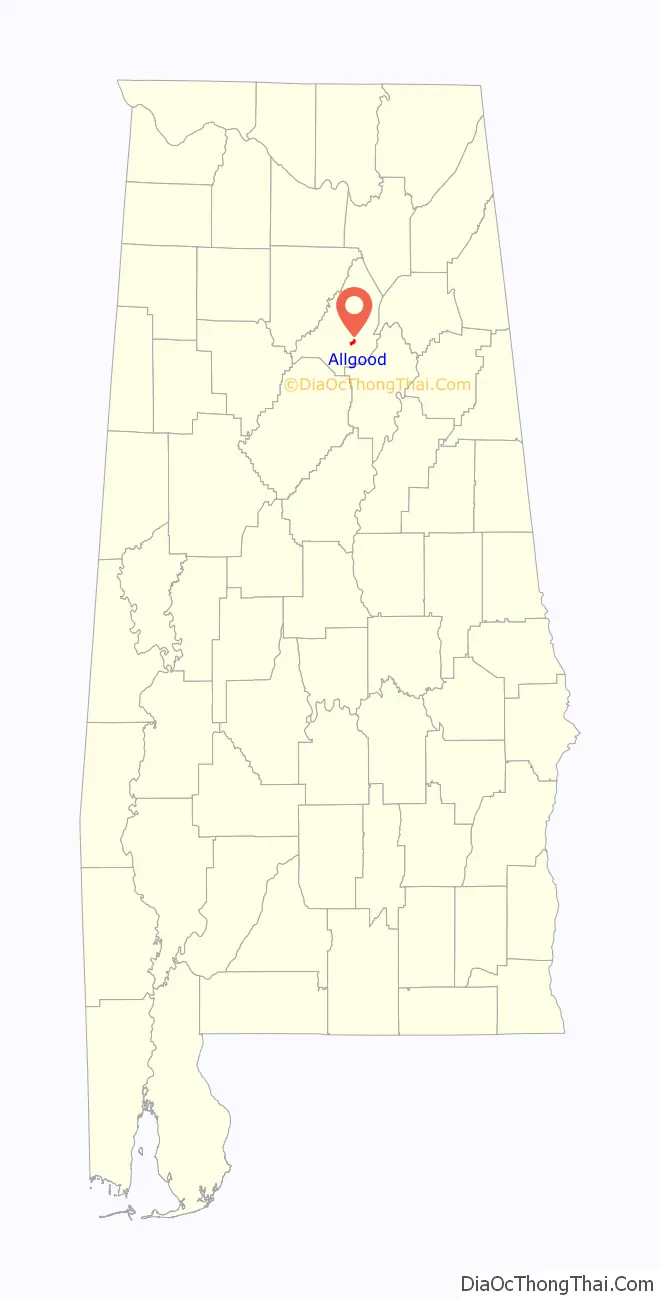
| State: | Alabama |
| County: | Blount County |
| Elevation: | 787 ft (240 m) |
| Total Area: | 1.04 sq mi (2.69 km²) |
| Land Area: | 1.04 sq mi (2.69 km²) |
| Water Area: | 0.00 sq mi (0.00 km²) |
| Total Population: | 548 |
| Population Density: | 527.43/sq mi (203.70/km²) |
| ZIP code: | 35013 |
| FIPS code: | 0101396 |
| GNISfeature ID: | 0113021 |
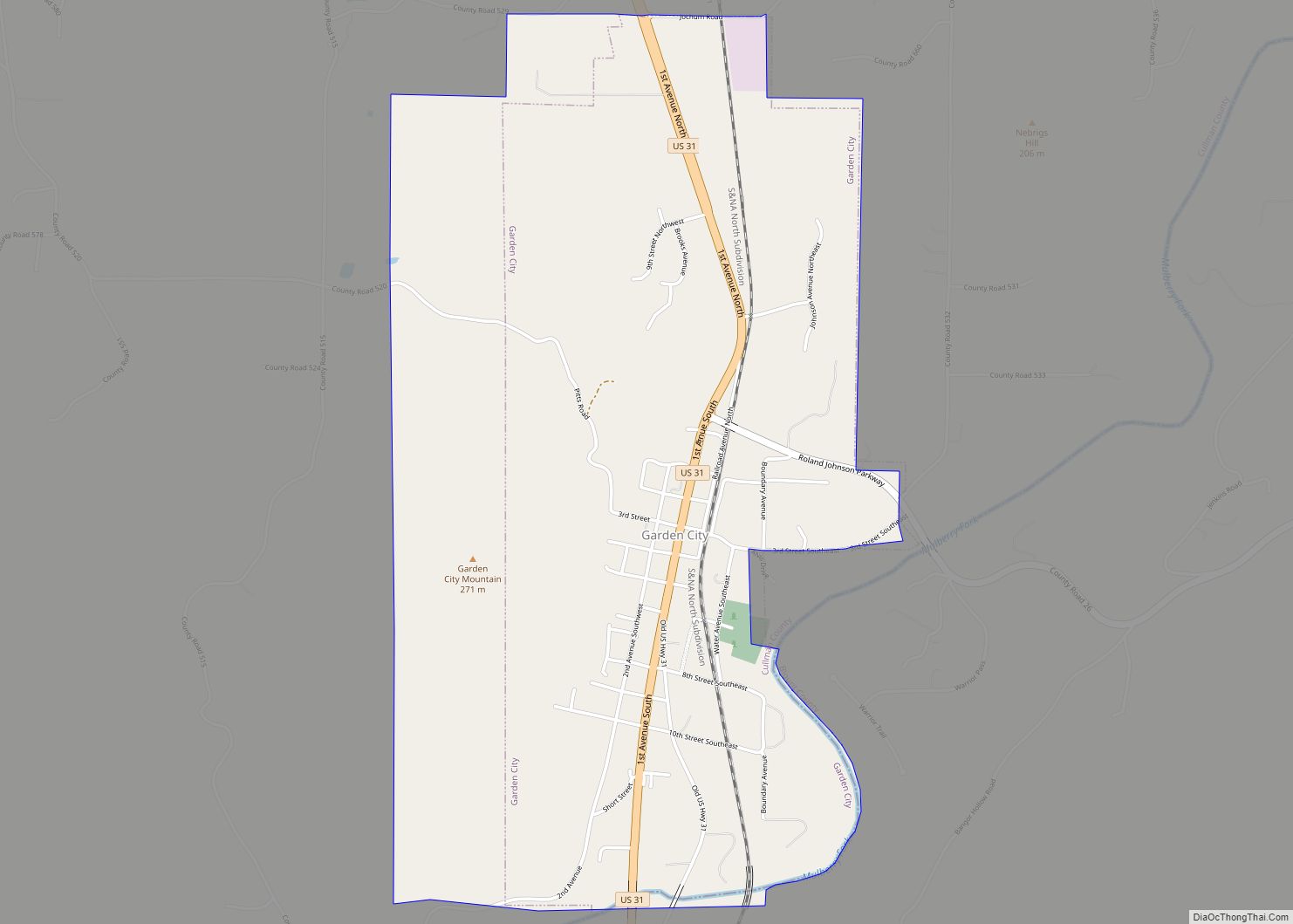
Online Interactive Map
Click on ![]() to view map in "full screen" mode.
to view map in "full screen" mode.
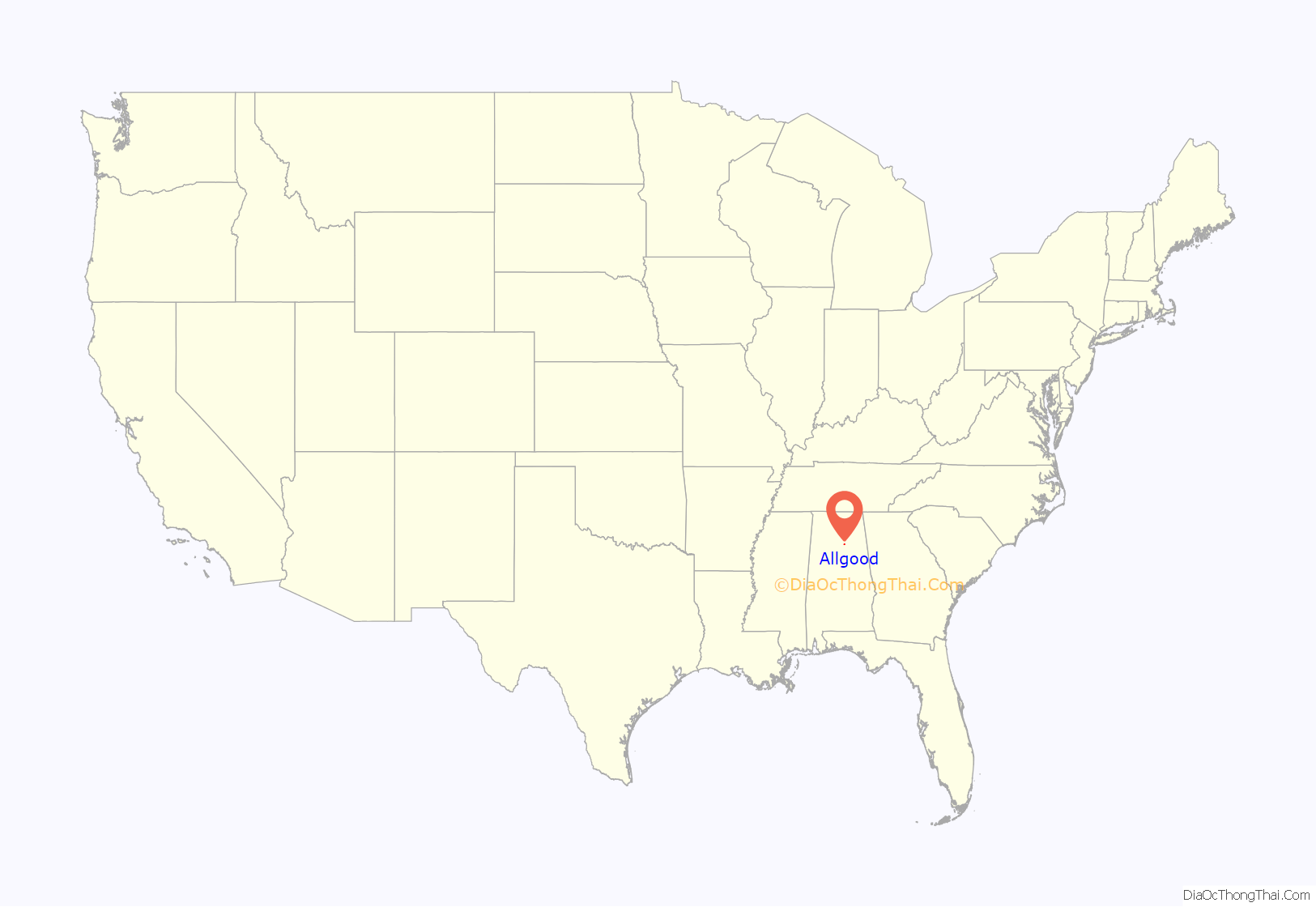
Allgood location map. Where is Allgood town?
History
One source said the town’s name comes from a family of homesteaders from South Carolina who settled in the area in the early 19th century. However, another states that the original name of the village, Chepultepec, probably named for the Battle of Chapultepec in the Mexican–American War, was changed to “Allgood” in December 1915. A local lime manufacturer believed he was not getting repeat business because of the difficulty in spelling the name of the village and persuaded the local postmaster to change the name, with the postmaster giving the village his own name of Allgood. The town was formally incorporated in 1959. In 2010, it became the first locality in Alabama to achieve a Hispanic plurality.
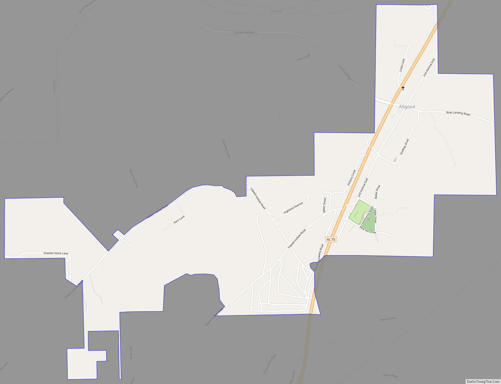
Allgood Road Map
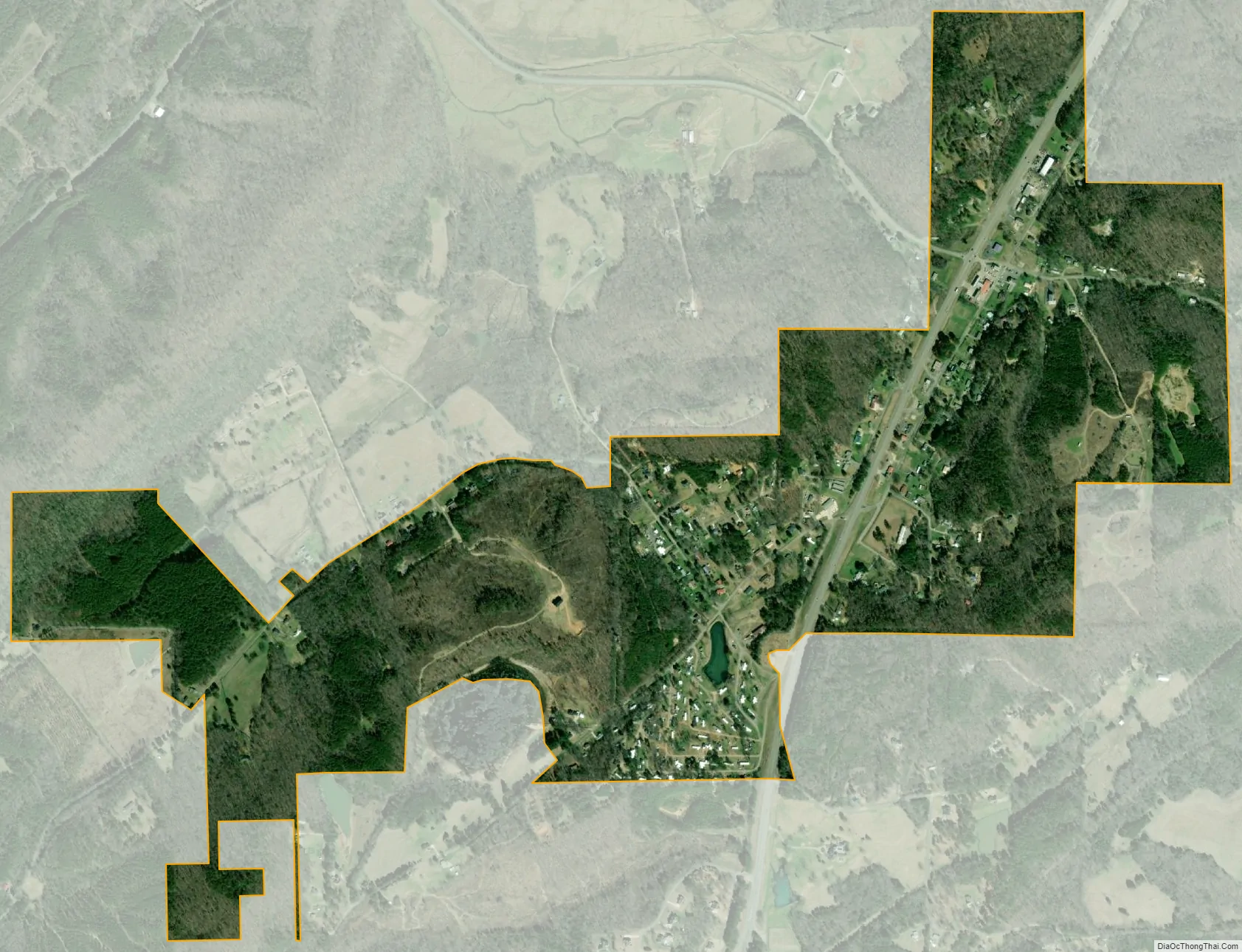
Allgood city Satellite Map
Geography
Allgood is located in south-central Blount County at 33°54′15″N 86°30′59″W / 33.90417°N 86.51639°W / 33.90417; -86.51639 (33.904216, −86.516428). It is in the Murphree Valley, with Straight Mountain to the southeast and Red Mountain and Sand Mountain to the northwest. Alabama State Route 75 passes through the town, leading northeast 3 miles (5 km) to Oneonta, the county seat, and southwest 38 miles (61 km) to Birmingham.
According to the U.S. Census Bureau, the town has a total area of 1.0 square mile (2.6 km), all land.
See also
Map of Alabama State and its subdivision:- Autauga
- Baldwin
- Barbour
- Bibb
- Blount
- Bullock
- Butler
- Calhoun
- Chambers
- Cherokee
- Chilton
- Choctaw
- Clarke
- Clay
- Cleburne
- Coffee
- Colbert
- Conecuh
- Coosa
- Covington
- Crenshaw
- Cullman
- Dale
- Dallas
- De Kalb
- Elmore
- Escambia
- Etowah
- Fayette
- Franklin
- Geneva
- Greene
- Hale
- Henry
- Houston
- Jackson
- Jefferson
- Lamar
- Lauderdale
- Lawrence
- Lee
- Limestone
- Lowndes
- Macon
- Madison
- Marengo
- Marion
- Marshall
- Mobile
- Monroe
- Montgomery
- Morgan
- Perry
- Pickens
- Pike
- Randolph
- Russell
- Saint Clair
- Shelby
- Sumter
- Talladega
- Tallapoosa
- Tuscaloosa
- Walker
- Washington
- Wilcox
- Winston
- Alabama
- Alaska
- Arizona
- Arkansas
- California
- Colorado
- Connecticut
- Delaware
- District of Columbia
- Florida
- Georgia
- Hawaii
- Idaho
- Illinois
- Indiana
- Iowa
- Kansas
- Kentucky
- Louisiana
- Maine
- Maryland
- Massachusetts
- Michigan
- Minnesota
- Mississippi
- Missouri
- Montana
- Nebraska
- Nevada
- New Hampshire
- New Jersey
- New Mexico
- New York
- North Carolina
- North Dakota
- Ohio
- Oklahoma
- Oregon
- Pennsylvania
- Rhode Island
- South Carolina
- South Dakota
- Tennessee
- Texas
- Utah
- Vermont
- Virginia
- Washington
- West Virginia
- Wisconsin
- Wyoming