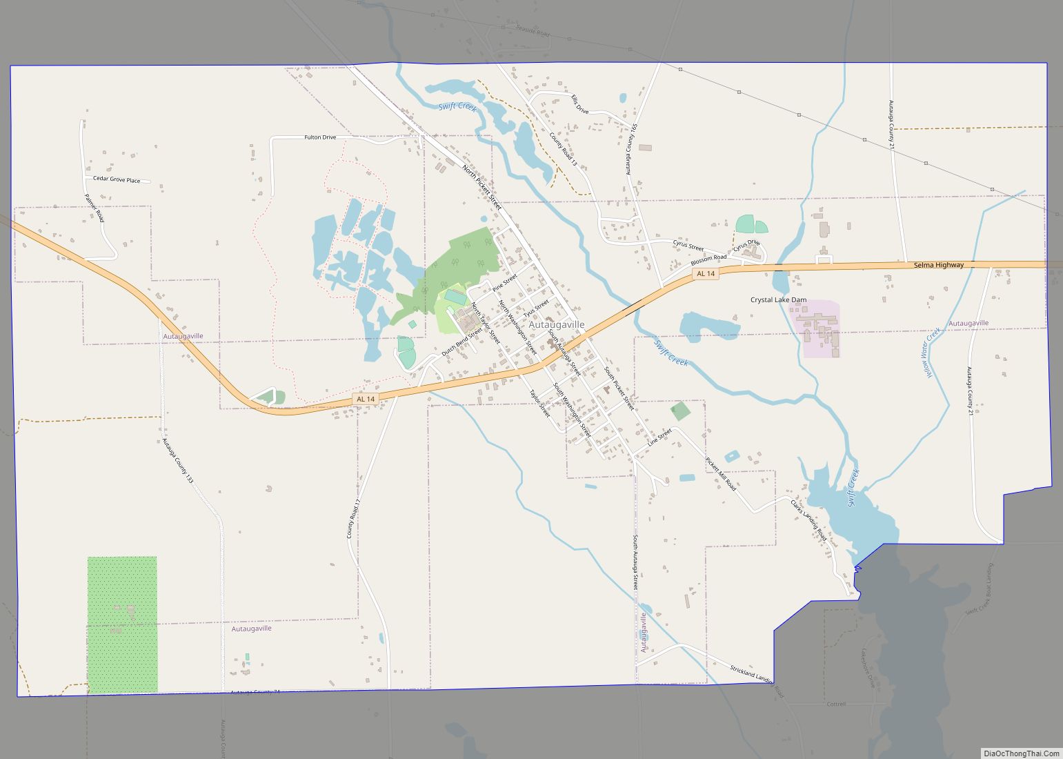
Autaugaville is a town in Autauga County, Alabama, United States. At the 2020 census, the population was 795. It is part of the Montgomery Metropolitan Statistical Area.
| Name: | Autaugaville town |
|---|---|
| LSAD Code: | 43 |
| LSAD Description: | town (suffix) |
| State: | Alabama |
| County: | Autauga County |
| Elevation: | 161 ft (49 m) |
| Total Area: | 8.04 sq mi (20.82 km²) |
| Land Area: | 7.83 sq mi (20.29 km²) |
| Water Area: | 0.20 sq mi (0.53 km²) |
| Total Population: | 795 |
| Population Density: | 101.49/sq mi (39.19/km²) |
| ZIP code: | 36003 |
| Area code: | 334 |
| FIPS code: | 0103220 |
| GNISfeature ID: | 0113299 |
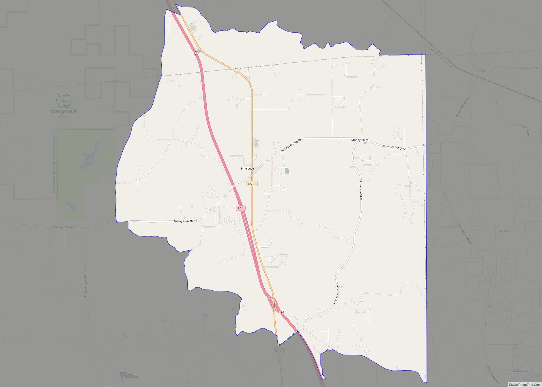
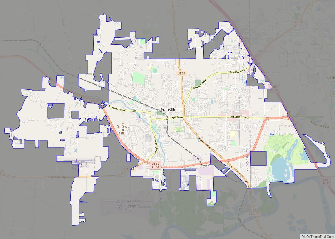
Online Interactive Map
Click on ![]() to view map in "full screen" mode.
to view map in "full screen" mode.
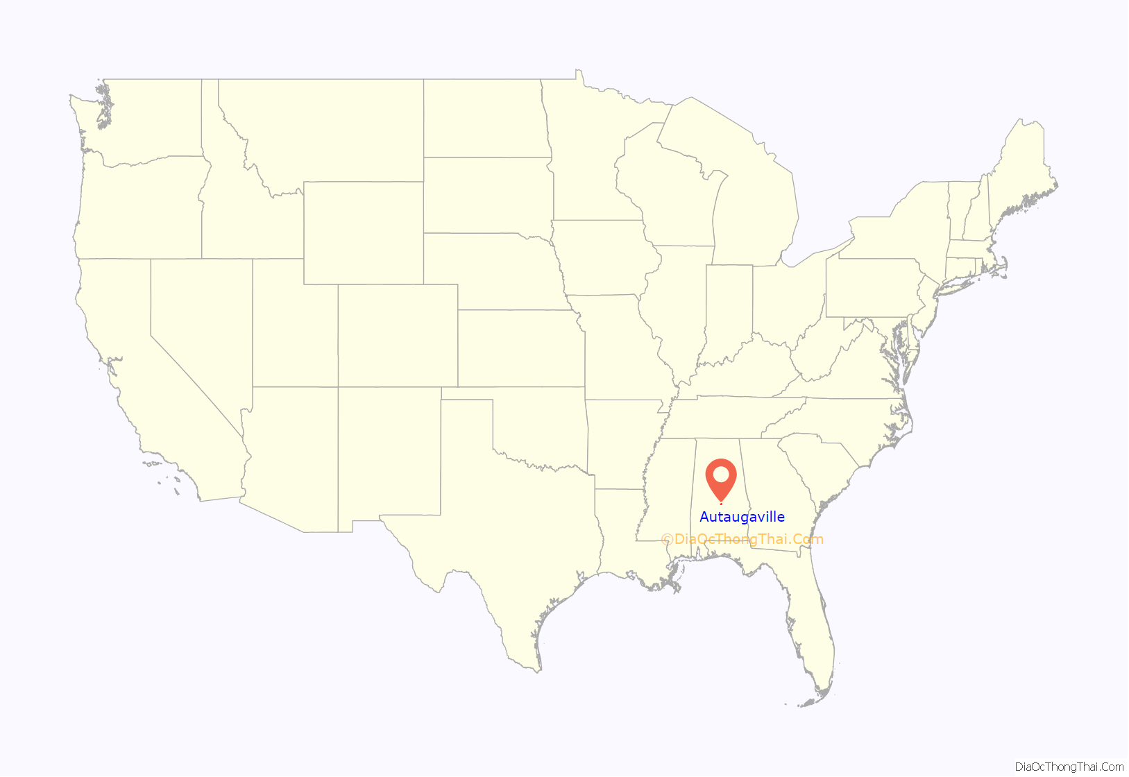
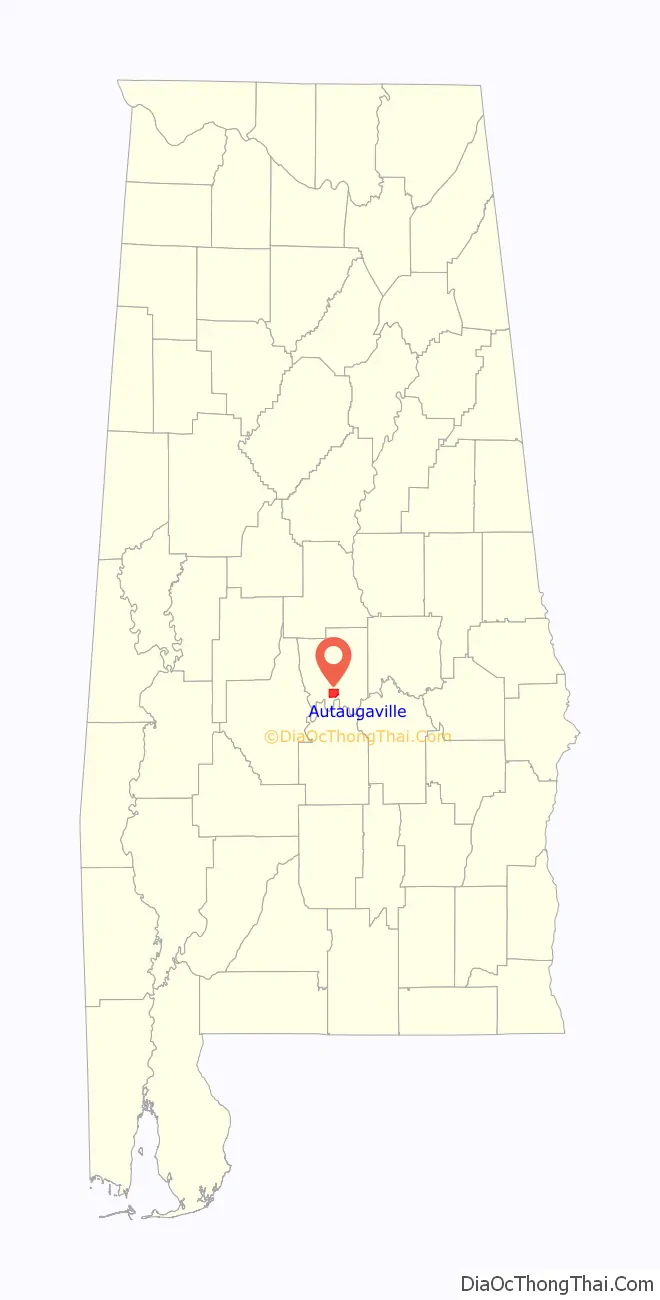
Autaugaville location map. Where is Autaugaville town?
History
William Thompson, the first settler in what is now Autaugaville arrived around 1820 and built a gristmill and sawmill on Swift Creek, about three miles upriver from the Alabama River. One source says that the town incorporated in 1839, but another cites 1907. A cotton mill opened in 1849 on the banks of Swift Creek, and following upon the model of industrialist Daniel Pratt, the owner constructed housing for its employees, expanding the town. It grew further when many citizens from nearby Vernon relocated here to escape the floods and diseases to which that town was prone. By 1851, the town had a population of 351 and claimed four stores, two churches, and two schools.
Additional businesses opened during this period, including a cloth factory, a buggy and wagon factory, and a gristmill, making it a thriving manufacturing center. The downtown area was seriously damaged by a fire in 1853, but quickly rebuilt. The town’s first and only newspaper, the Autauga Citizen, also began publication in 1853, existing until 1873.
The Civil War and Reconstruction resulted in the closing of the town’s factories, including the cotton factory, which saw its shipments seized by the U.S. government. The war and its aftermath essentially ended Autaugaville’s status as a manufacturing center. The town incorporated in 1907, and the Alabama Central Railroad built a branch through town in 1911. At least one of several lumber mills operated periodically until the 1930s. In 1936, an Alabama Forestry Commission nursery opened near town. Crystal Lake Manufacturing Company makes brooms, mops, and handles in Autaugaville but closed at the end of 2020.
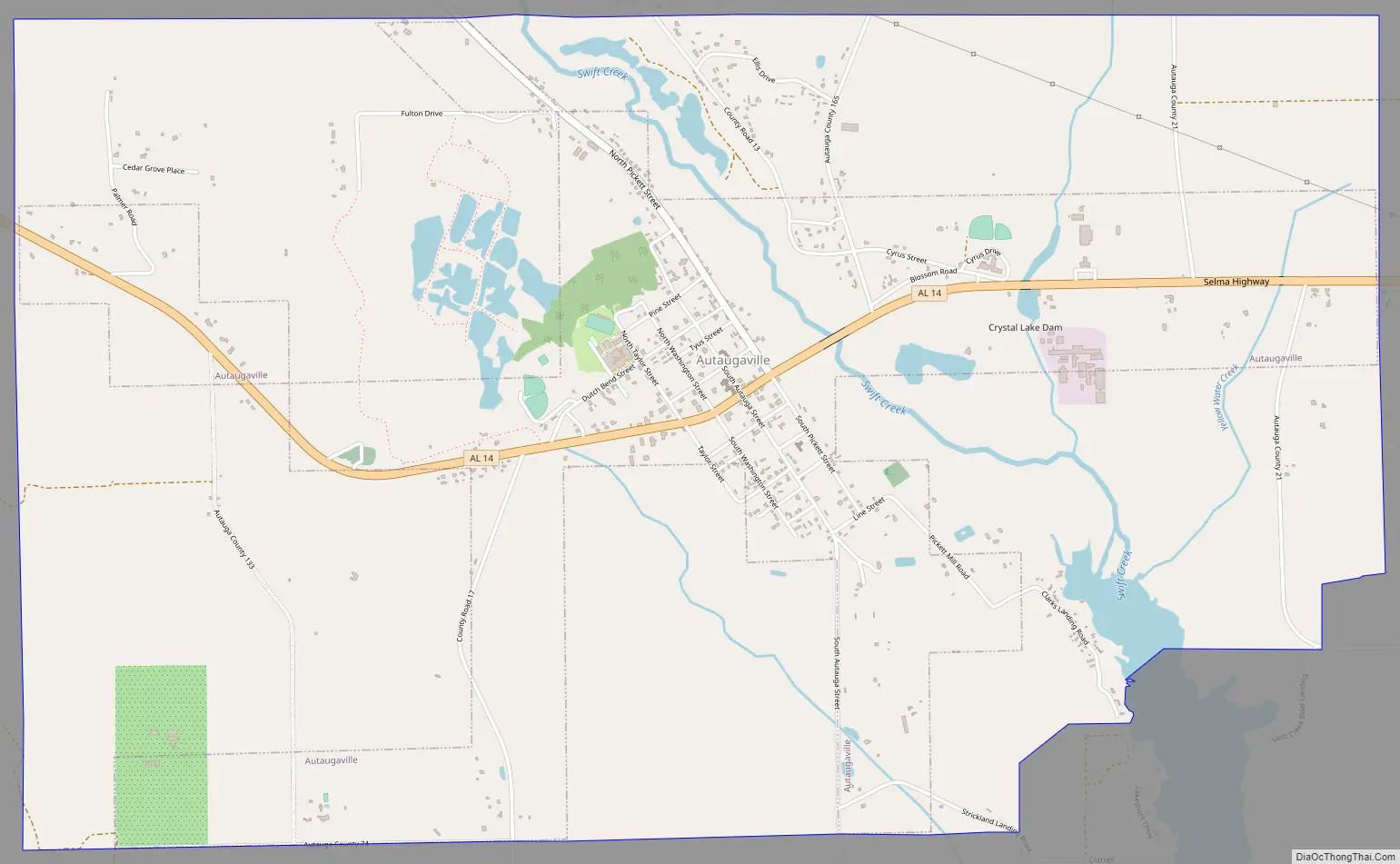
Autaugaville Road Map
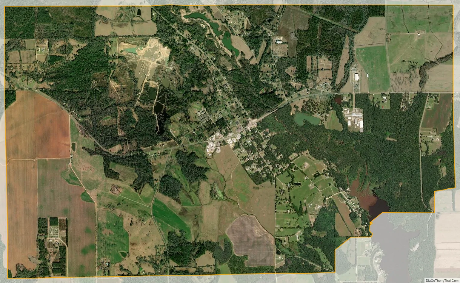
Autaugaville city Satellite Map
Geography
Autaugaville is located at 32°25′57″N 86°39′32″W / 32.432563°N 86.658752°W / 32.432563; -86.658752 (32.432563, -86.658752).
The town is located in the central part of the state along Alabama State Route 14, which runs west to east through the center of town, leading east 14 mi (23 km) to Prattville, the Autauga County seat, and west 24 mi (39 km) to Selma.
According to the U.S. Census Bureau, the town has a total area of 7.8 square miles (20 km), of which, 7.6 square miles (20 km) of it is land and 0.2 square miles (0.52 km) of it is water.
See also
Map of Alabama State and its subdivision:- Autauga
- Baldwin
- Barbour
- Bibb
- Blount
- Bullock
- Butler
- Calhoun
- Chambers
- Cherokee
- Chilton
- Choctaw
- Clarke
- Clay
- Cleburne
- Coffee
- Colbert
- Conecuh
- Coosa
- Covington
- Crenshaw
- Cullman
- Dale
- Dallas
- De Kalb
- Elmore
- Escambia
- Etowah
- Fayette
- Franklin
- Geneva
- Greene
- Hale
- Henry
- Houston
- Jackson
- Jefferson
- Lamar
- Lauderdale
- Lawrence
- Lee
- Limestone
- Lowndes
- Macon
- Madison
- Marengo
- Marion
- Marshall
- Mobile
- Monroe
- Montgomery
- Morgan
- Perry
- Pickens
- Pike
- Randolph
- Russell
- Saint Clair
- Shelby
- Sumter
- Talladega
- Tallapoosa
- Tuscaloosa
- Walker
- Washington
- Wilcox
- Winston
- Alabama
- Alaska
- Arizona
- Arkansas
- California
- Colorado
- Connecticut
- Delaware
- District of Columbia
- Florida
- Georgia
- Hawaii
- Idaho
- Illinois
- Indiana
- Iowa
- Kansas
- Kentucky
- Louisiana
- Maine
- Maryland
- Massachusetts
- Michigan
- Minnesota
- Mississippi
- Missouri
- Montana
- Nebraska
- Nevada
- New Hampshire
- New Jersey
- New Mexico
- New York
- North Carolina
- North Dakota
- Ohio
- Oklahoma
- Oregon
- Pennsylvania
- Rhode Island
- South Carolina
- South Dakota
- Tennessee
- Texas
- Utah
- Vermont
- Virginia
- Washington
- West Virginia
- Wisconsin
- Wyoming