Carolina is a town in Covington County, Alabama, United States. It is located about 95 miles (153 km) south of Montgomery and about 80 miles (130 km) west of Dothan. At the 2020 census, the population was 286.
| Name: | Carolina town |
|---|---|
| LSAD Code: | 43 |
| LSAD Description: | town (suffix) |
| State: | Alabama |
| County: | Covington County |
| Elevation: | 328 ft (100 m) |
| Total Area: | 1.12 sq mi (2.89 km²) |
| Land Area: | 1.11 sq mi (2.87 km²) |
| Water Area: | 0.01 sq mi (0.02 km²) |
| Total Population: | 286 |
| Population Density: | 257.89/sq mi (99.60/km²) |
| FIPS code: | 0112160 |
| GNISfeature ID: | 0159327 |
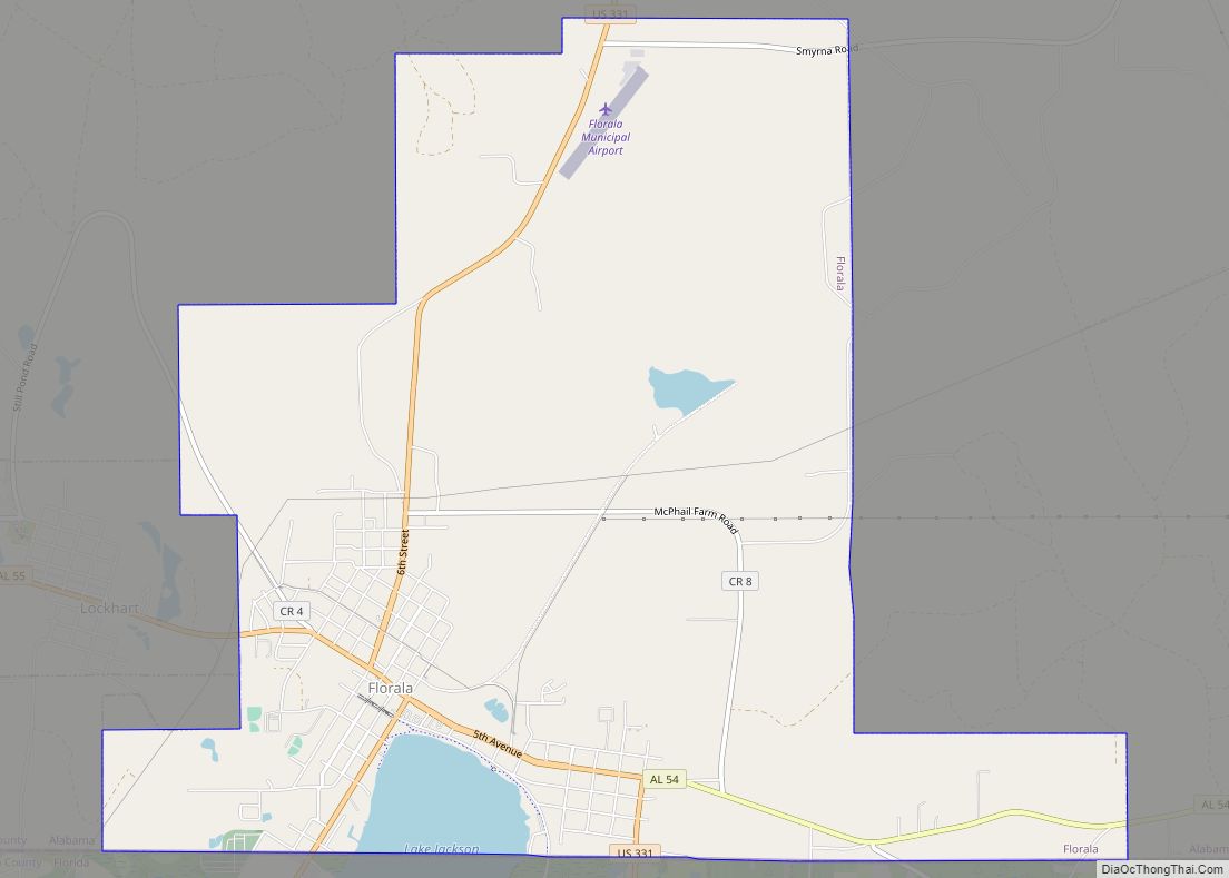
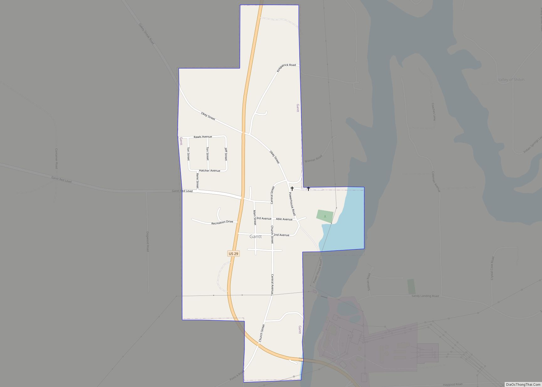
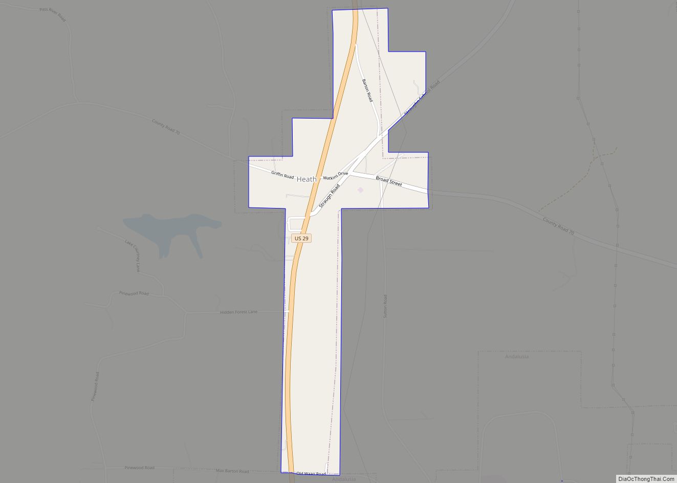
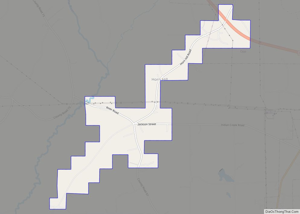
Online Interactive Map
Click on ![]() to view map in "full screen" mode.
to view map in "full screen" mode.
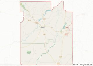
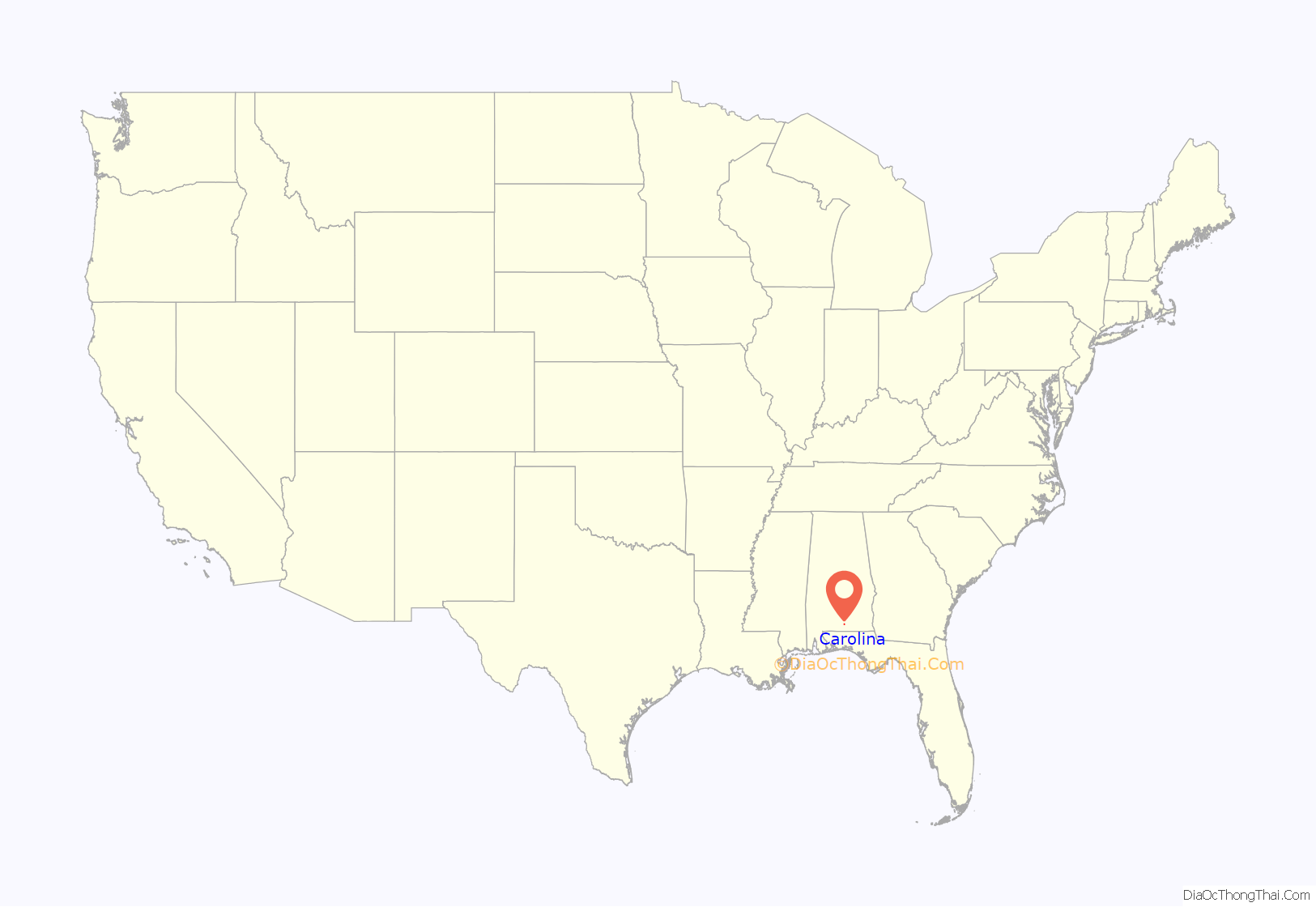
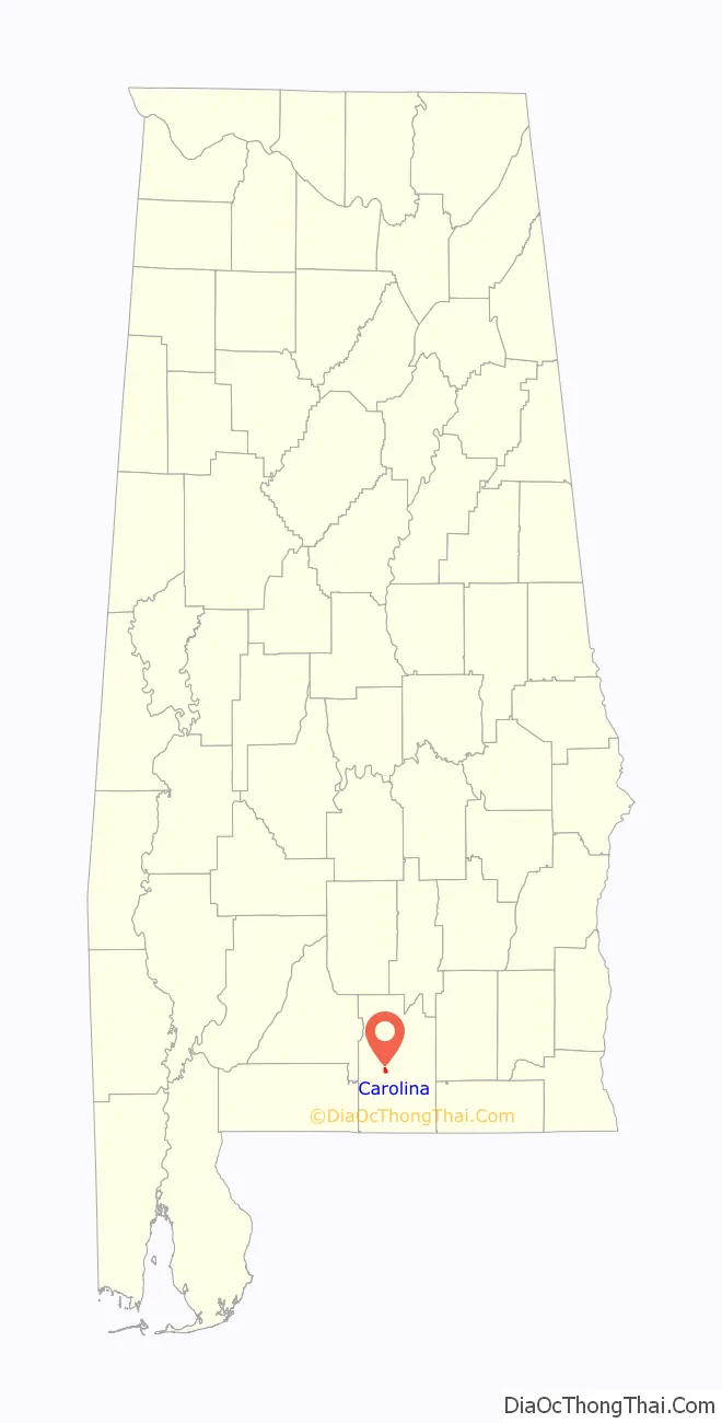
Carolina location map. Where is Carolina town?
History
Carolina was founded by Elzy Henderson Garvin from Wagener, South Carolina. South Carolina had been hit by an especially severe drought and when missionaries from the Church of Jesus Christ of Latter-day Saints (the Mormons) arrived in the area, many members of the Garvin family converted to the Mormon faith. Elzy Garvin left South Carolina in search of better land, better climate for farming and for matters of faith. It was recorded that he once remarked, “Our family left Ireland to practice our faith, and we are not becoming something new.” The area reminded him so much of his home state that he named it “Carolina”. Elzy was married to Emma Catherine Bass. They produced 5 children. Sherman, Ollie, Nancy, Willia & Odessa. Elzy and Emma are both buried in Carolina. Many of his relations have been found to be buried at Bethcar Baptist Church on the outskirts of Wagener, SC.
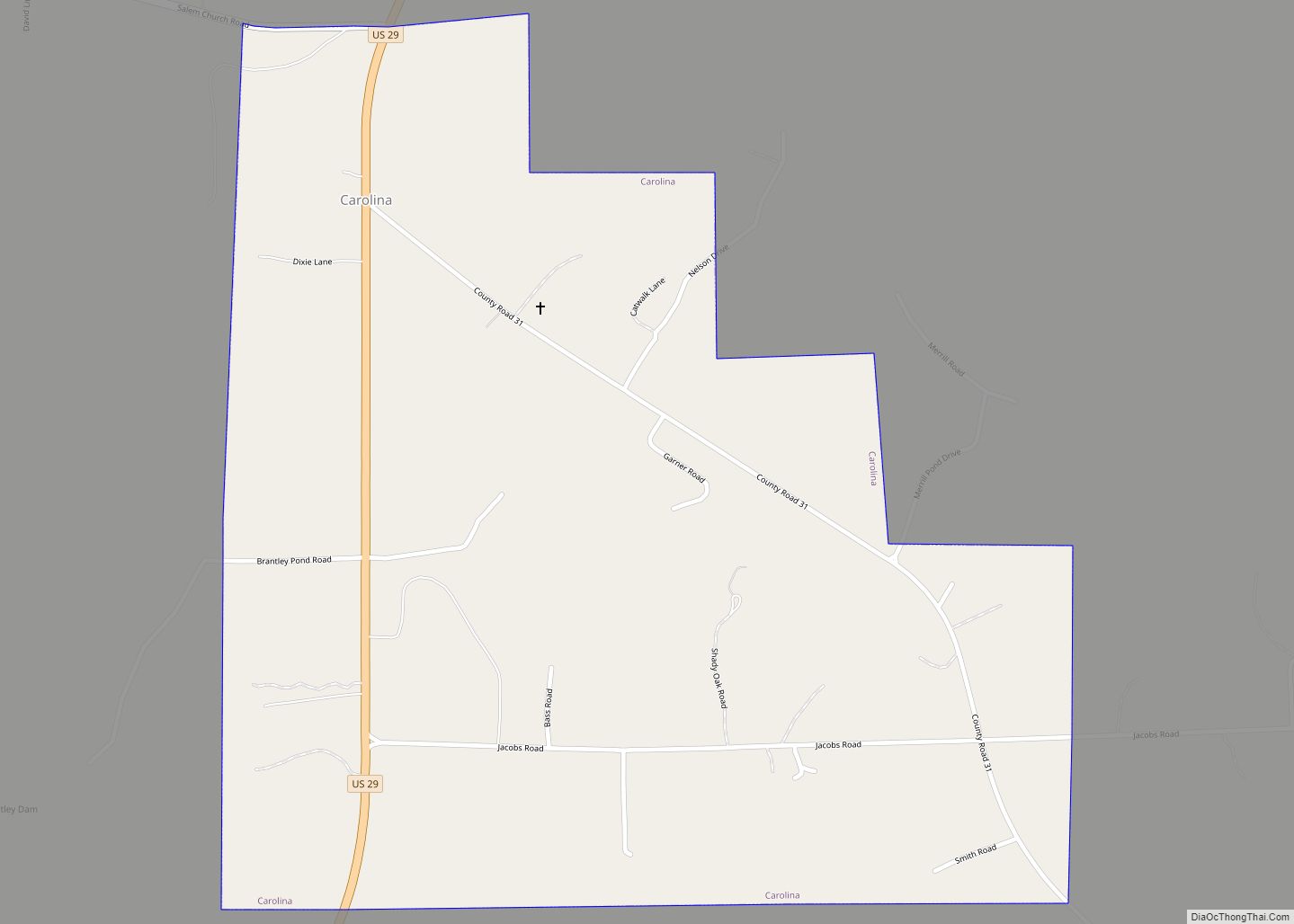
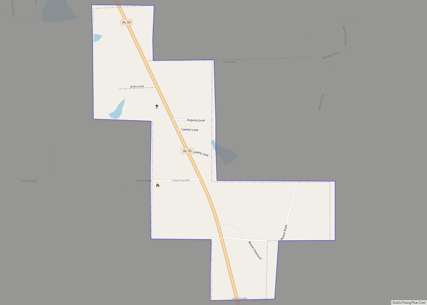
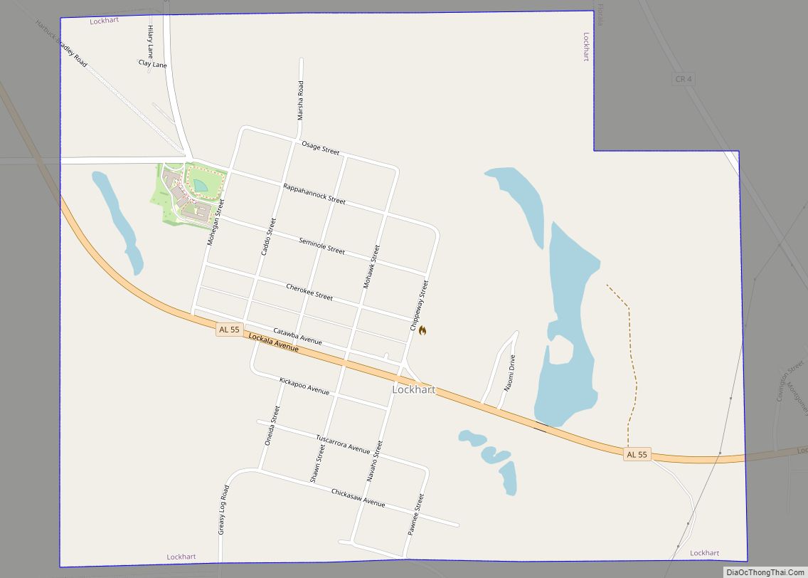
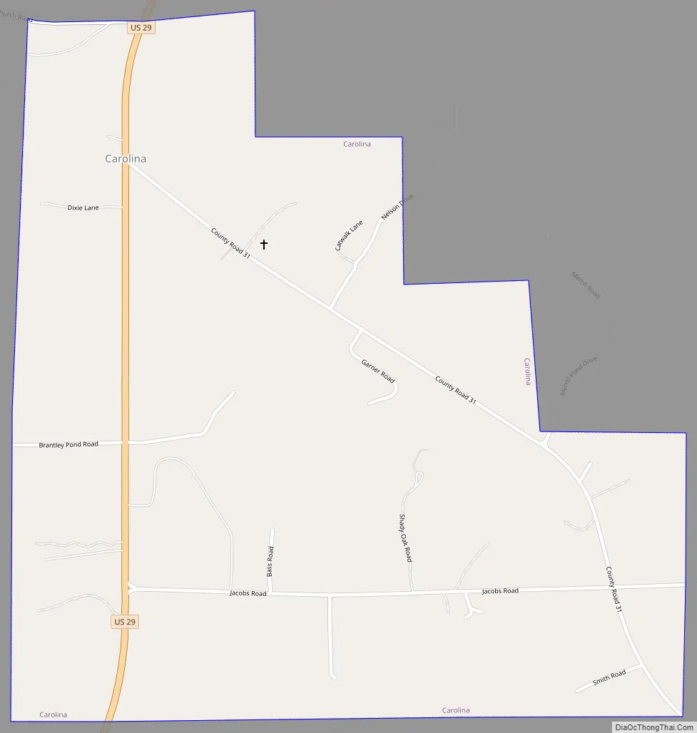
Carolina Road Map
Carolina city Satellite Map

Geography
Carolina is located west of the center of Covington County at 31°13′53″N 86°31′14″W / 31.23139°N 86.52056°W / 31.23139; -86.52056 (31.231521, -86.520607). According to the U.S. Census Bureau, the town has a total area of 1.1 square miles (2.9 km), of which 0.008 square miles (0.02 km), or 0.71%, is water.
See also
Map of Alabama State and its subdivision:- Autauga
- Baldwin
- Barbour
- Bibb
- Blount
- Bullock
- Butler
- Calhoun
- Chambers
- Cherokee
- Chilton
- Choctaw
- Clarke
- Clay
- Cleburne
- Coffee
- Colbert
- Conecuh
- Coosa
- Covington
- Crenshaw
- Cullman
- Dale
- Dallas
- De Kalb
- Elmore
- Escambia
- Etowah
- Fayette
- Franklin
- Geneva
- Greene
- Hale
- Henry
- Houston
- Jackson
- Jefferson
- Lamar
- Lauderdale
- Lawrence
- Lee
- Limestone
- Lowndes
- Macon
- Madison
- Marengo
- Marion
- Marshall
- Mobile
- Monroe
- Montgomery
- Morgan
- Perry
- Pickens
- Pike
- Randolph
- Russell
- Saint Clair
- Shelby
- Sumter
- Talladega
- Tallapoosa
- Tuscaloosa
- Walker
- Washington
- Wilcox
- Winston
- Alabama
- Alaska
- Arizona
- Arkansas
- California
- Colorado
- Connecticut
- Delaware
- District of Columbia
- Florida
- Georgia
- Hawaii
- Idaho
- Illinois
- Indiana
- Iowa
- Kansas
- Kentucky
- Louisiana
- Maine
- Maryland
- Massachusetts
- Michigan
- Minnesota
- Mississippi
- Missouri
- Montana
- Nebraska
- Nevada
- New Hampshire
- New Jersey
- New Mexico
- New York
- North Carolina
- North Dakota
- Ohio
- Oklahoma
- Oregon
- Pennsylvania
- Rhode Island
- South Carolina
- South Dakota
- Tennessee
- Texas
- Utah
- Vermont
- Virginia
- Washington
- West Virginia
- Wisconsin
- Wyoming