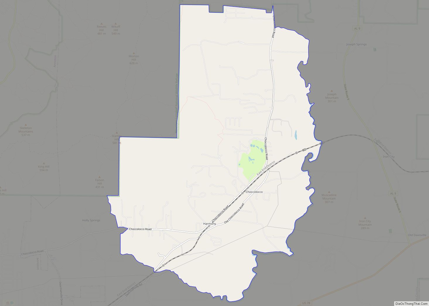
Choccolocco is an unincorporated community and census-designated place in Calhoun County, Alabama, United States. As of the 2010 census, its population was 2,804. It was founded in 1832.
The name Choccolocco is an anglicization of the Creek words “chahko lago” (“big shoals”) or “choko rakko” (“big house”); sources vary.
The community gained brief notoriety in 2001 when The Daily Show aired a piece on the “Choccolocco Monster”, a part of local folklore concerning sightings of a mysterious creature in the area in the late 1960s. An October 2001 article in the Anniston Star newspaper revealed that the creature was, in fact, local resident Neal Williamson. As a teenager, Williamson would don his costume (consisting of a cow skull and a sheet) and gain the attention of passing cars by jumping out of the woods onto the roadside, often startling motorists.
| Name: | Choccolocco CDP |
|---|---|
| LSAD Code: | 57 |
| LSAD Description: | CDP (suffix) |
| State: | Alabama |
| County: | Calhoun County |
| Elevation: | 679 ft (207 m) |
| Total Area: | 11.78 sq mi (30.52 km²) |
| Land Area: | 11.65 sq mi (30.16 km²) |
| Water Area: | 0.14 sq mi (0.35 km²) |
| Total Population: | 2,838 |
| Population Density: | 243.69/sq mi (94.09/km²) |
| ZIP code: | 36207 |
| Area code: | 256 & 938 |
| FIPS code: | 0114728 |
| GNISfeature ID: | 159400 |
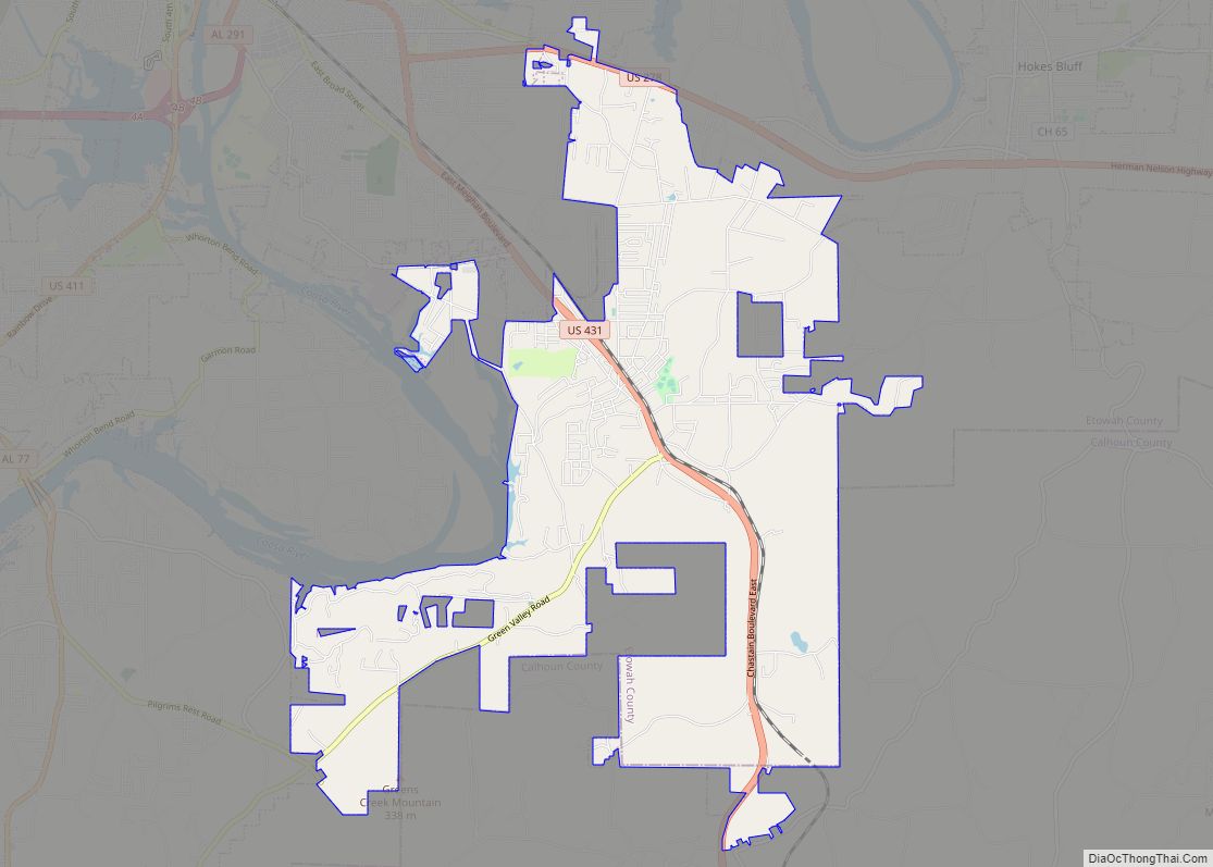
Online Interactive Map
Click on ![]() to view map in "full screen" mode.
to view map in "full screen" mode.
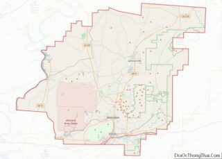
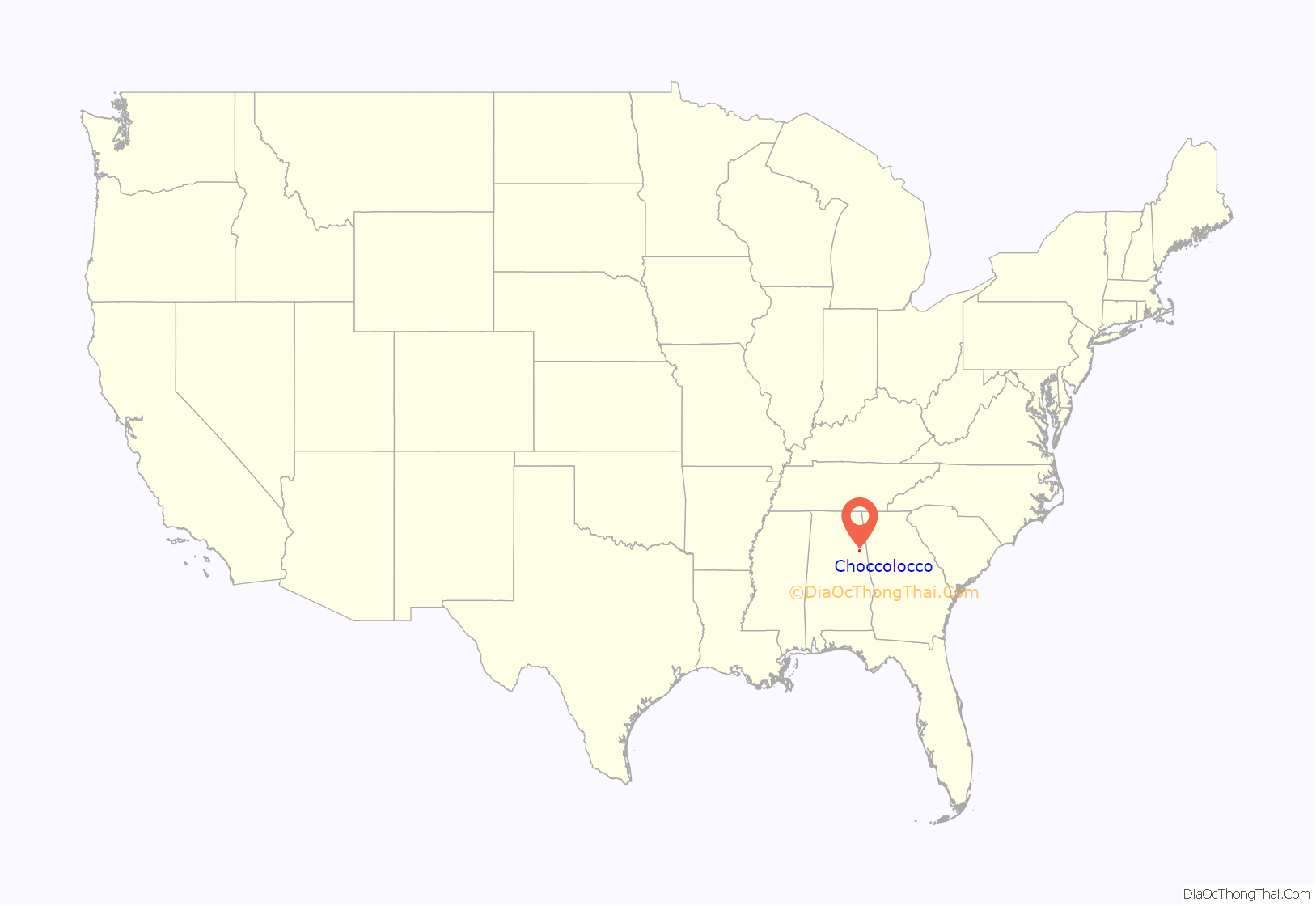
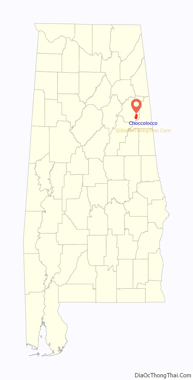
Choccolocco location map. Where is Choccolocco CDP?
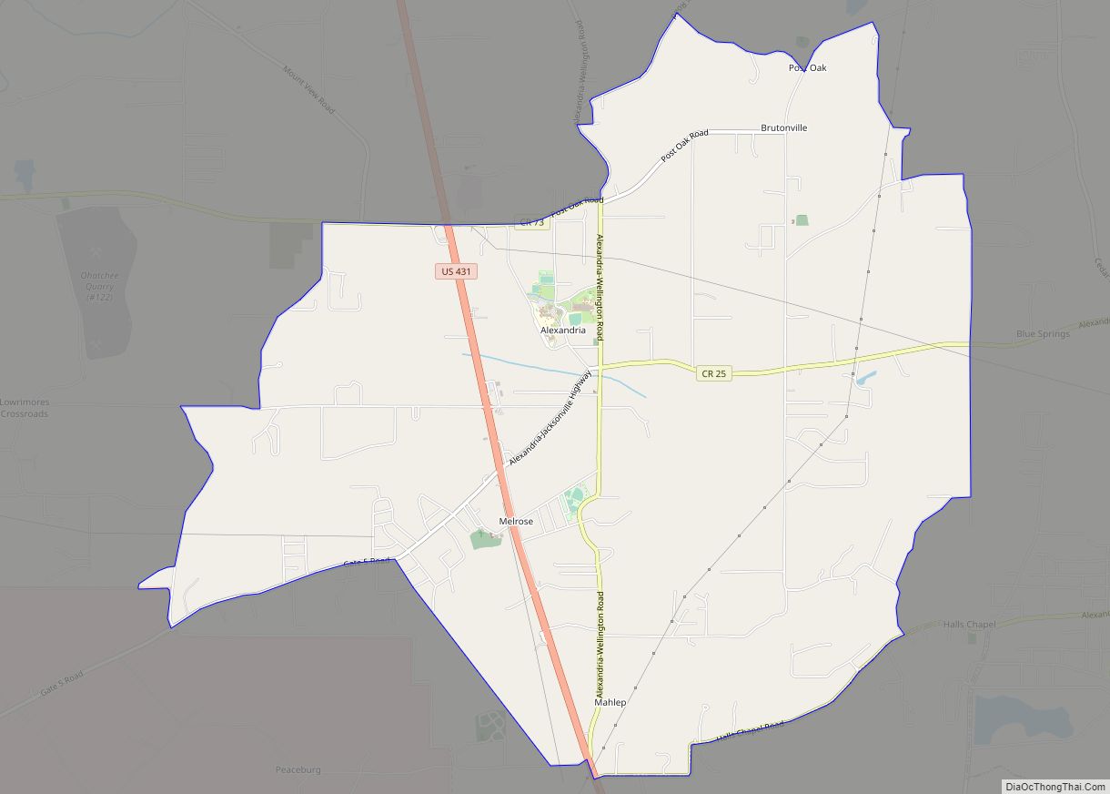
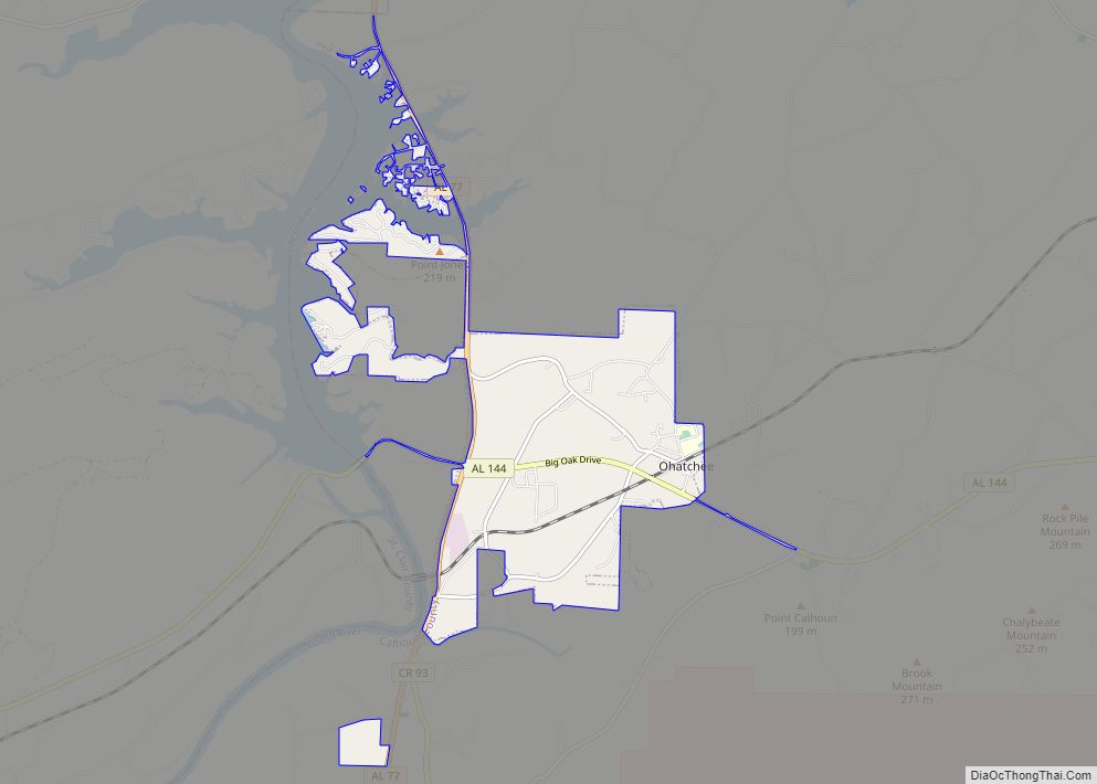
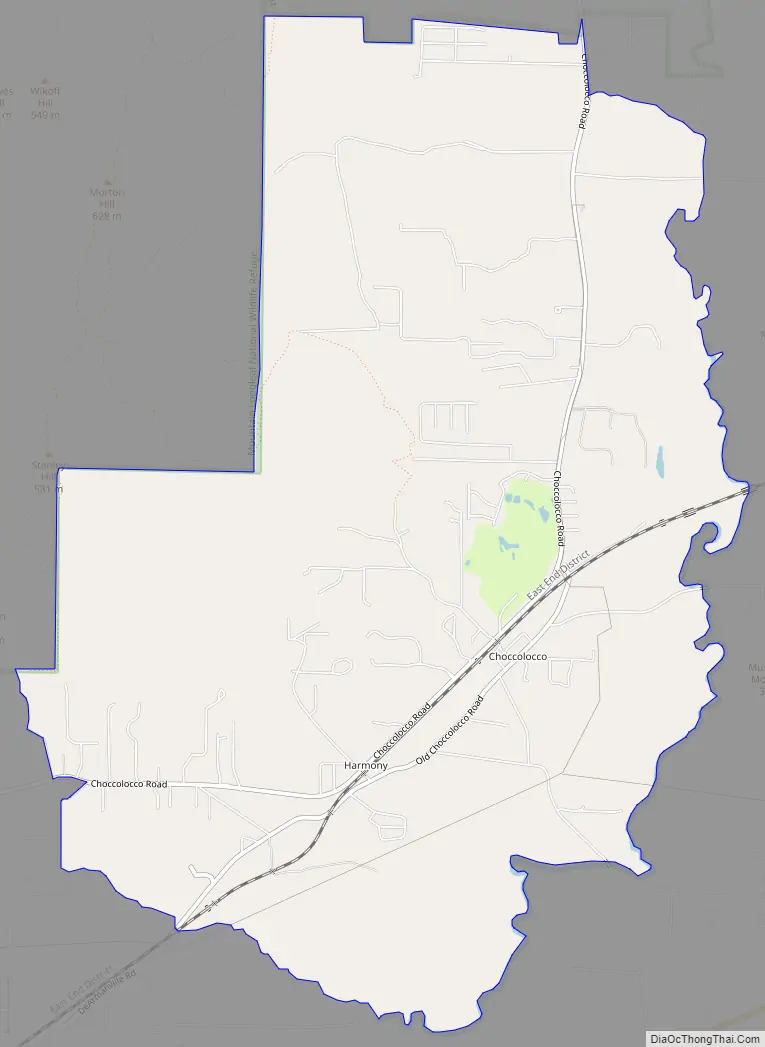
Choccolocco Road Map
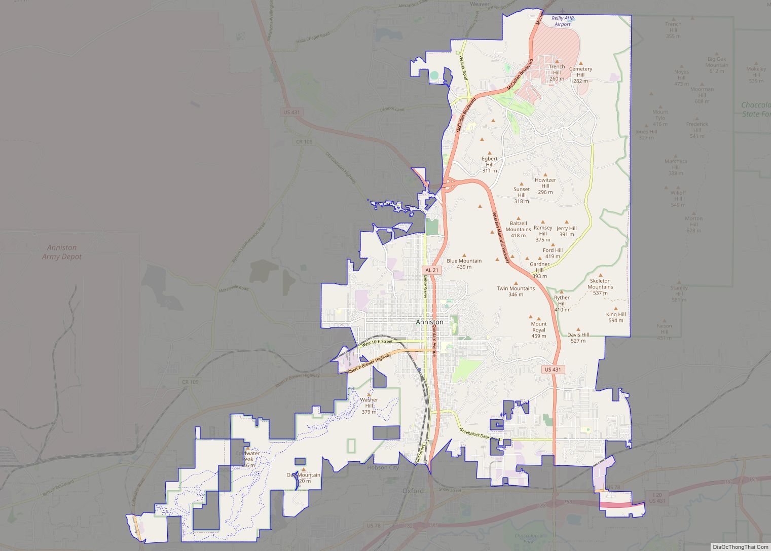
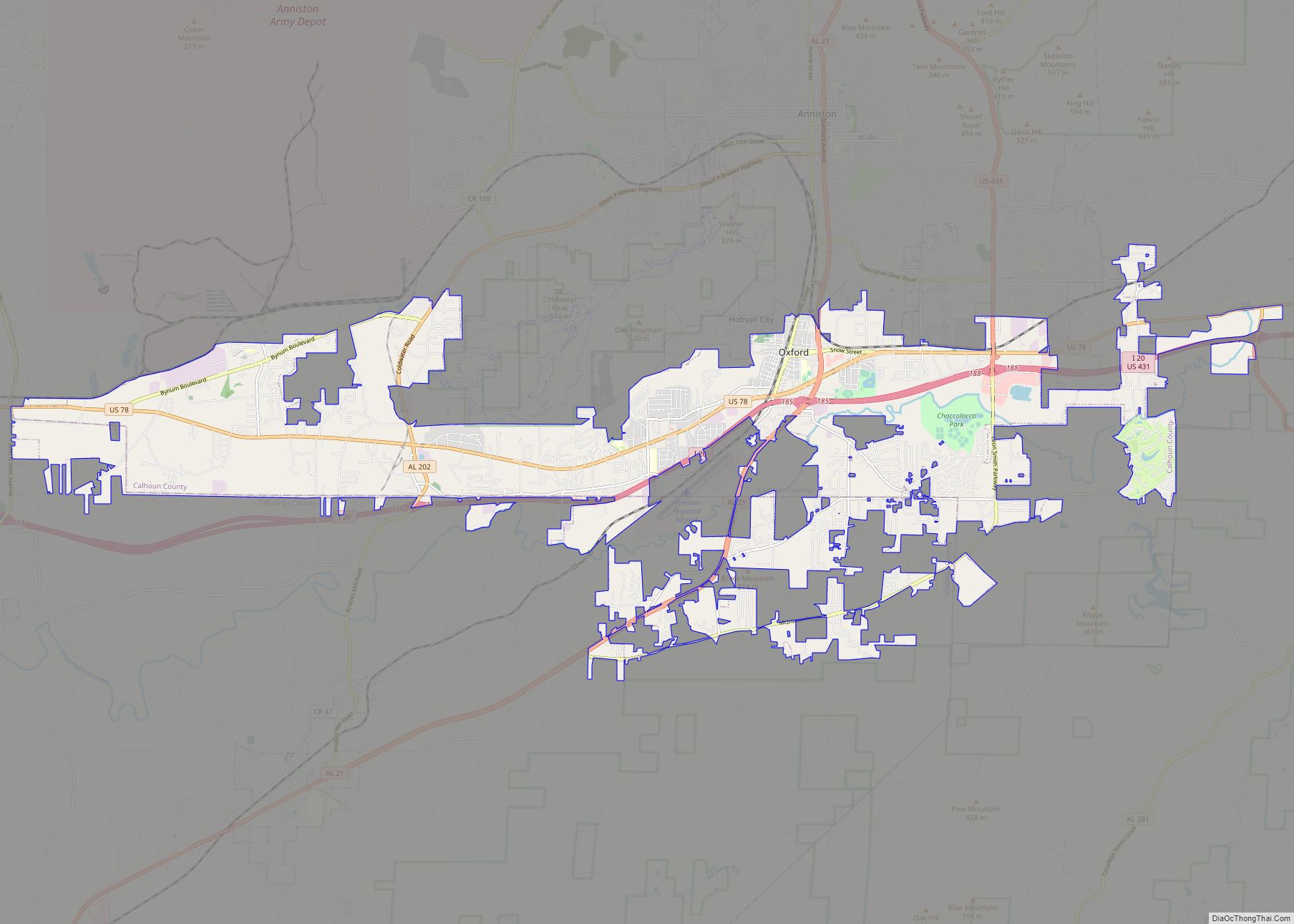
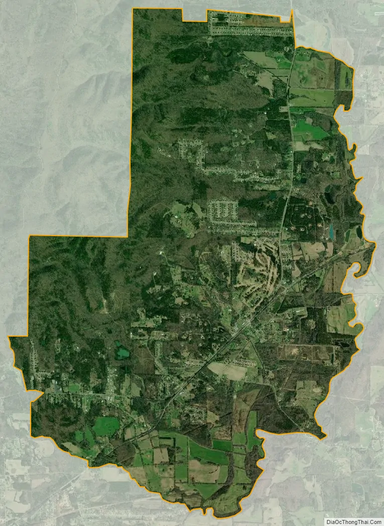
Choccolocco city Satellite Map
See also
Map of Alabama State and its subdivision:- Autauga
- Baldwin
- Barbour
- Bibb
- Blount
- Bullock
- Butler
- Calhoun
- Chambers
- Cherokee
- Chilton
- Choctaw
- Clarke
- Clay
- Cleburne
- Coffee
- Colbert
- Conecuh
- Coosa
- Covington
- Crenshaw
- Cullman
- Dale
- Dallas
- De Kalb
- Elmore
- Escambia
- Etowah
- Fayette
- Franklin
- Geneva
- Greene
- Hale
- Henry
- Houston
- Jackson
- Jefferson
- Lamar
- Lauderdale
- Lawrence
- Lee
- Limestone
- Lowndes
- Macon
- Madison
- Marengo
- Marion
- Marshall
- Mobile
- Monroe
- Montgomery
- Morgan
- Perry
- Pickens
- Pike
- Randolph
- Russell
- Saint Clair
- Shelby
- Sumter
- Talladega
- Tallapoosa
- Tuscaloosa
- Walker
- Washington
- Wilcox
- Winston
- Alabama
- Alaska
- Arizona
- Arkansas
- California
- Colorado
- Connecticut
- Delaware
- District of Columbia
- Florida
- Georgia
- Hawaii
- Idaho
- Illinois
- Indiana
- Iowa
- Kansas
- Kentucky
- Louisiana
- Maine
- Maryland
- Massachusetts
- Michigan
- Minnesota
- Mississippi
- Missouri
- Montana
- Nebraska
- Nevada
- New Hampshire
- New Jersey
- New Mexico
- New York
- North Carolina
- North Dakota
- Ohio
- Oklahoma
- Oregon
- Pennsylvania
- Rhode Island
- South Carolina
- South Dakota
- Tennessee
- Texas
- Utah
- Vermont
- Virginia
- Washington
- West Virginia
- Wisconsin
- Wyoming