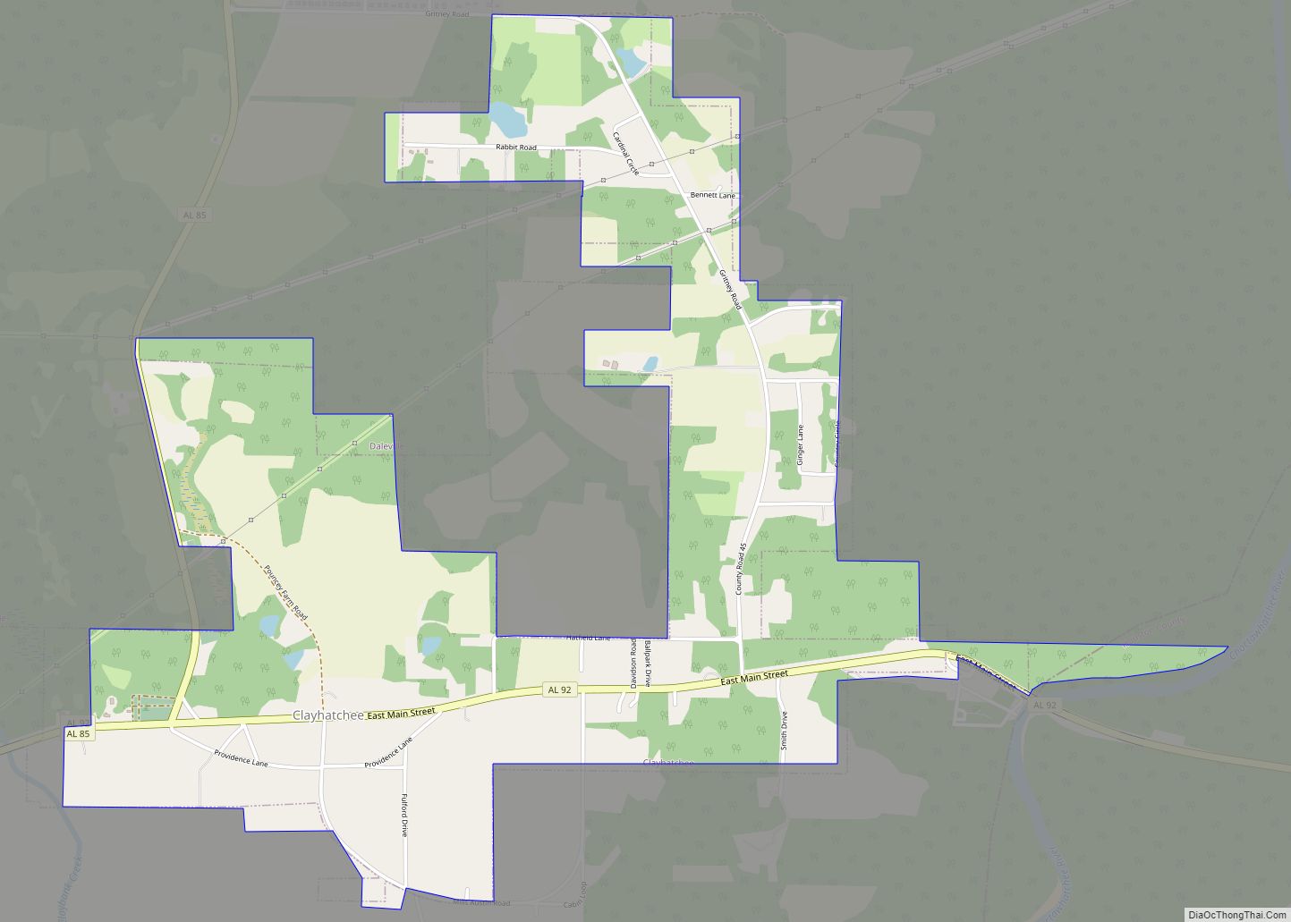
Clayhatchee is a town in Dale County, Alabama, United States. At the 2010 census the population was 589, up from 501 in 2000. It was incorporated in April 1967. It is part of the Ozark Micropolitan Statistical Area.
| Name: | Clayhatchee town |
|---|---|
| LSAD Code: | 43 |
| LSAD Description: | town (suffix) |
| State: | Alabama |
| County: | Dale County |
| Elevation: | 194 ft (59 m) |
| Total Area: | 2.72 sq mi (7.04 km²) |
| Land Area: | 2.72 sq mi (7.04 km²) |
| Water Area: | 0.00 sq mi (0.00 km²) |
| Total Population: | 466 |
| Population Density: | 171.45/sq mi (66.20/km²) |
| ZIP code: | 36322 |
| Area code: | 334 |
| FIPS code: | 0115304 |
| GNISfeature ID: | 0116204 |
Online Interactive Map
Click on ![]() to view map in "full screen" mode.
to view map in "full screen" mode.
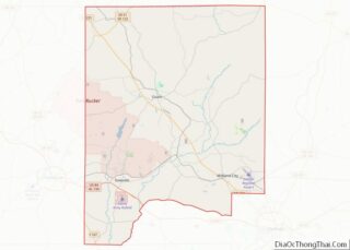
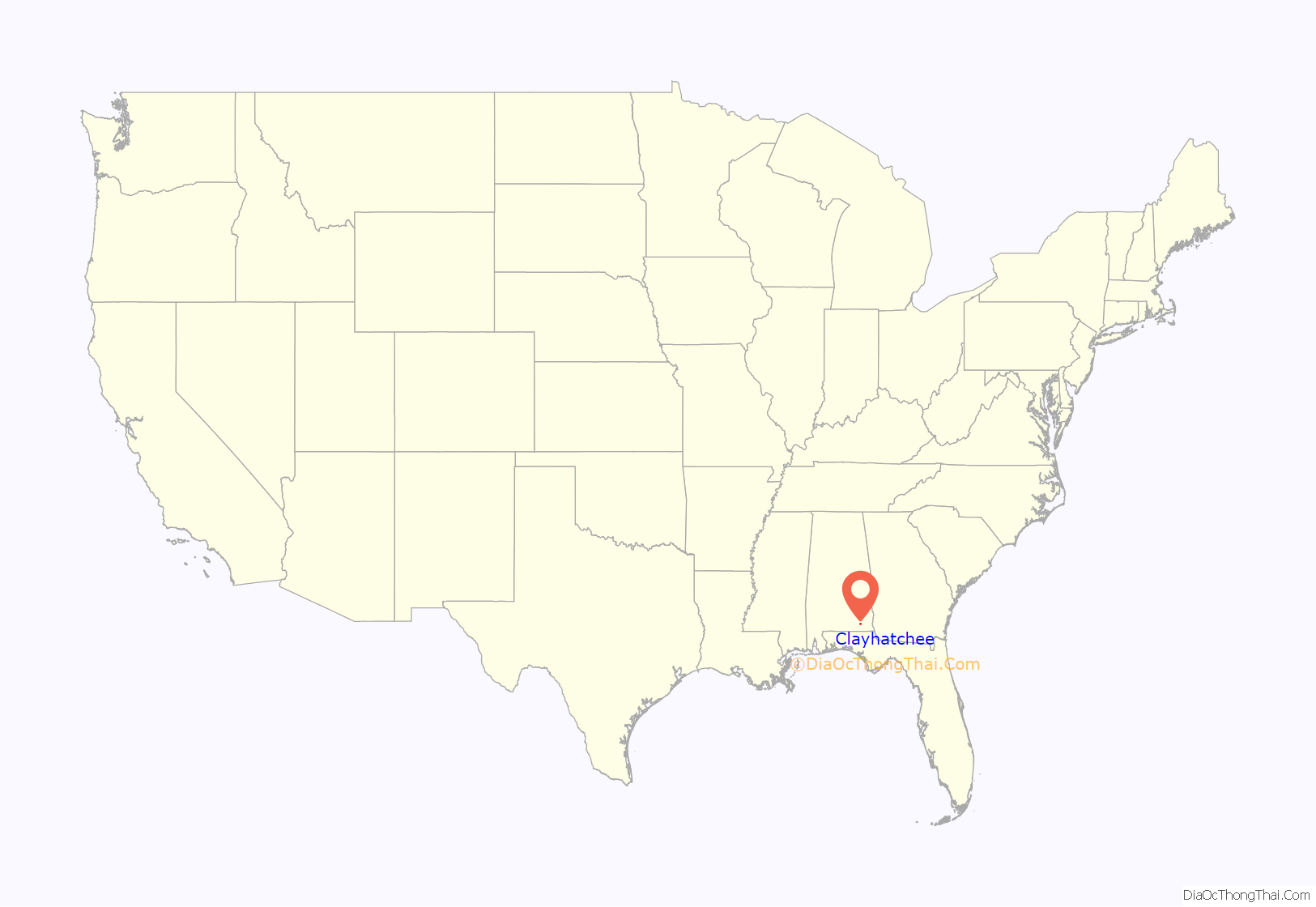
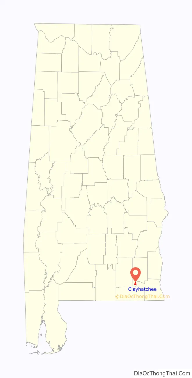
Clayhatchee location map. Where is Clayhatchee town?
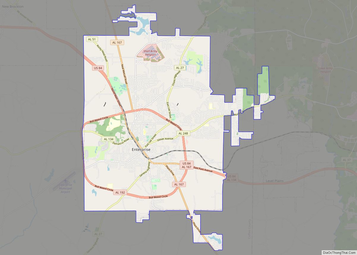
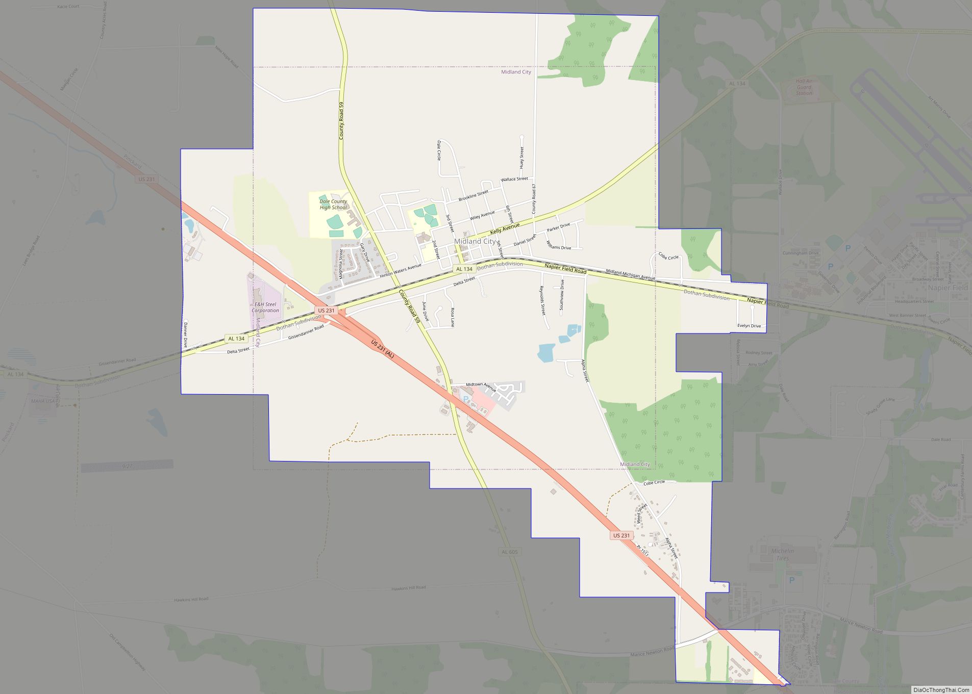
Clayhatchee Road Map
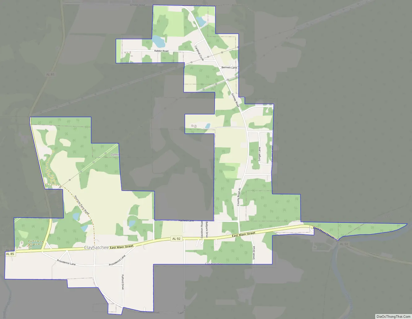
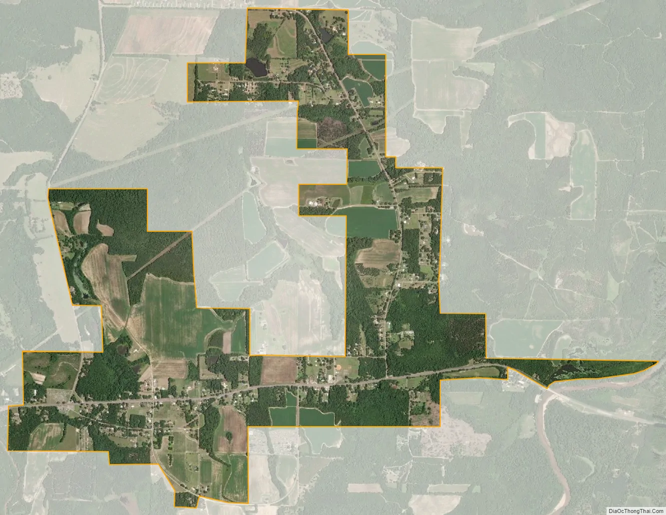
Clayhatchee city Satellite Map
Geography
Clayhatchee is located in southwestern Dale County at 31°14′16″N 85°42′46″W / 31.23778°N 85.71278°W / 31.23778; -85.71278 (31.237743, -85.712679), between Claybank Creek to the west and the Choctawhatchee River to the east. Alabama State Route 92 passes through the center of town, leading east 20 miles (32 km) to Dothan (via U.S. Route 84) and northwest 10 miles (16 km) to Enterprise (via AL 167). Alabama State Route 85 leads north from Clayhatchee 5 miles (8 km) to Daleville and southwest 17 miles (27 km) to Geneva.
According to the U.S. Census Bureau, Clayhatchee has a total area of 2.72 square miles (7.04 km), all land.
See also
Map of Alabama State and its subdivision:- Autauga
- Baldwin
- Barbour
- Bibb
- Blount
- Bullock
- Butler
- Calhoun
- Chambers
- Cherokee
- Chilton
- Choctaw
- Clarke
- Clay
- Cleburne
- Coffee
- Colbert
- Conecuh
- Coosa
- Covington
- Crenshaw
- Cullman
- Dale
- Dallas
- De Kalb
- Elmore
- Escambia
- Etowah
- Fayette
- Franklin
- Geneva
- Greene
- Hale
- Henry
- Houston
- Jackson
- Jefferson
- Lamar
- Lauderdale
- Lawrence
- Lee
- Limestone
- Lowndes
- Macon
- Madison
- Marengo
- Marion
- Marshall
- Mobile
- Monroe
- Montgomery
- Morgan
- Perry
- Pickens
- Pike
- Randolph
- Russell
- Saint Clair
- Shelby
- Sumter
- Talladega
- Tallapoosa
- Tuscaloosa
- Walker
- Washington
- Wilcox
- Winston
- Alabama
- Alaska
- Arizona
- Arkansas
- California
- Colorado
- Connecticut
- Delaware
- District of Columbia
- Florida
- Georgia
- Hawaii
- Idaho
- Illinois
- Indiana
- Iowa
- Kansas
- Kentucky
- Louisiana
- Maine
- Maryland
- Massachusetts
- Michigan
- Minnesota
- Mississippi
- Missouri
- Montana
- Nebraska
- Nevada
- New Hampshire
- New Jersey
- New Mexico
- New York
- North Carolina
- North Dakota
- Ohio
- Oklahoma
- Oregon
- Pennsylvania
- Rhode Island
- South Carolina
- South Dakota
- Tennessee
- Texas
- Utah
- Vermont
- Virginia
- Washington
- West Virginia
- Wisconsin
- Wyoming