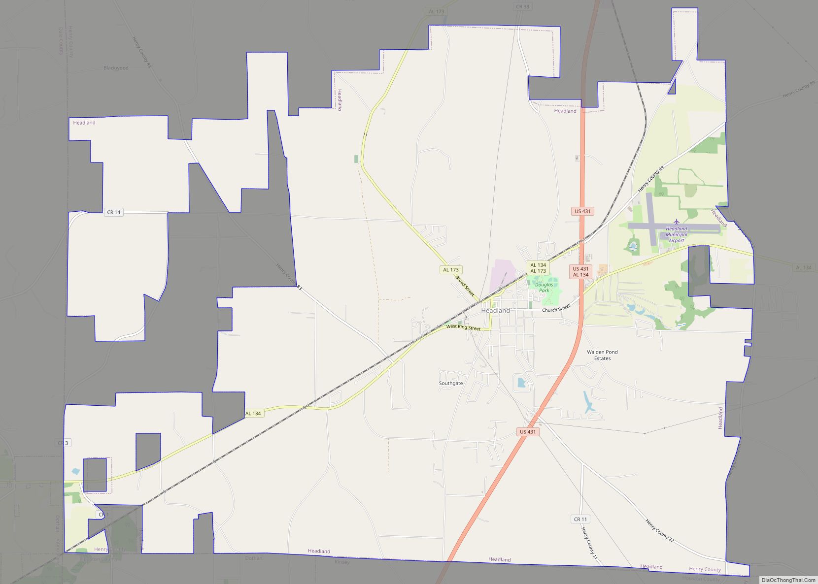
Headland is the largest city in Henry County, Alabama, United States. It is part of the Dothan metropolitan area. In 2020, the population was 4,973, up from 4,510 in the 2010 census. Ray Marler is the current mayor.
| Name: | Headland city |
|---|---|
| LSAD Code: | 25 |
| LSAD Description: | city (suffix) |
| State: | Alabama |
| County: | Henry County |
| Elevation: | 385 ft (117 m) |
| Total Area: | 30.34 sq mi (78.58 km²) |
| Land Area: | 30.33 sq mi (78.56 km²) |
| Water Area: | 0.01 sq mi (0.03 km²) |
| Total Population: | 4,973 |
| Population Density: | 163.96/sq mi (63.31/km²) |
| ZIP code: | 36345 |
| Area code: | 334 |
| FIPS code: | 0133856 |
| GNISfeature ID: | 0119910 |
| Website: | www.headlandalabama.org |
Online Interactive Map
Click on ![]() to view map in "full screen" mode.
to view map in "full screen" mode.
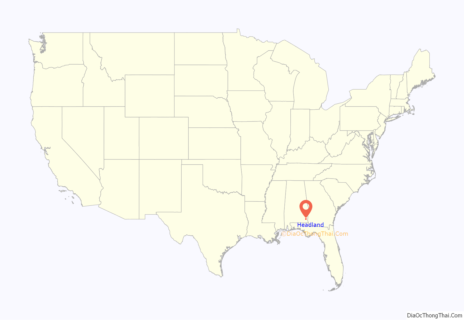
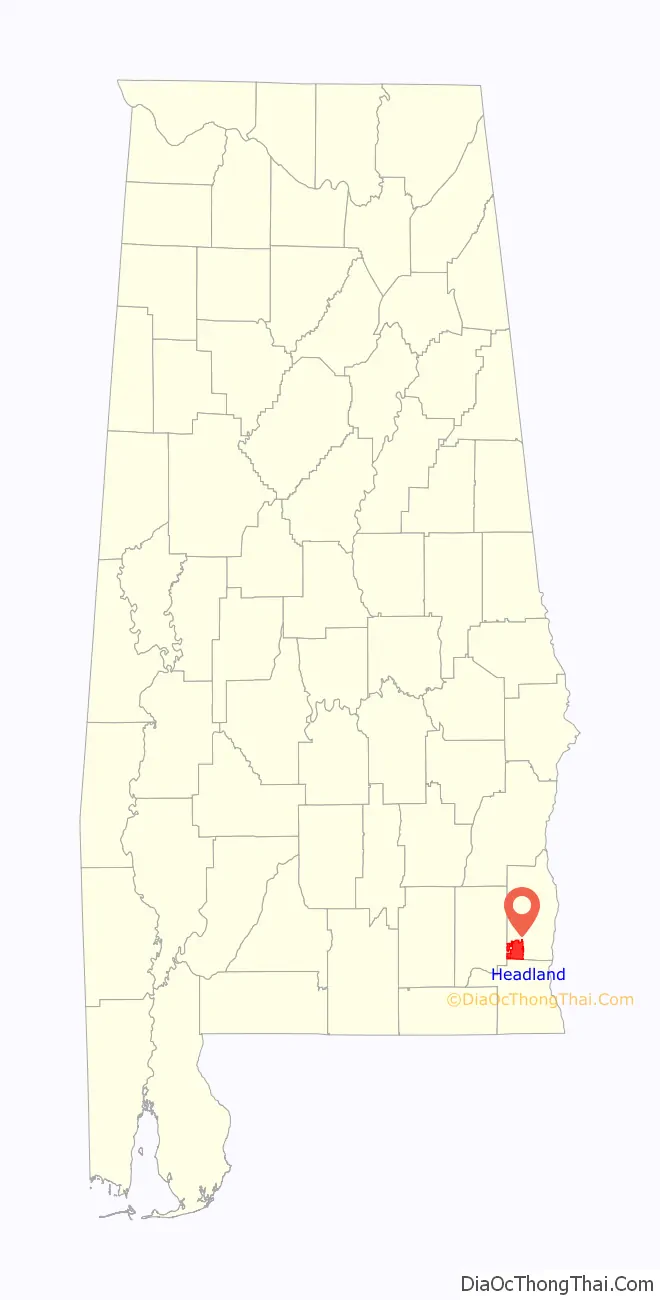
Headland location map. Where is Headland city?
History
James Joshua Head (1839–1927) founded Headland in 1871 as “Head’s Land”. He patented land, plotted the town and built his home there. The Headland post office opened on October 10, 1871.
The Headland Public Square was laid off in 1871 by Head with a vision for a branch courthouse. Henry County voters decided in the 1879 and 1885 courthouse site elections not to locate a courthouse on the public square. Henry has been Alabama’s only county with three courthouses at the same time.
Head sold Headland to Hosey C. Powell in 1879, who sold to Dr. Wyatt S. Oates in 1880. Head moved to Tampa, Florida, in 1883 and later established Lake Magdalene, Florida.
Headland incorporated in 1884 with 26 white and 4 Black petitioners. The railroad was built in 1893 along with the Seaboard Coast Line Railroad Depot. The depot was added to the National Register of Historic Places on September 4, 1980. It has since been disassembled.
Headland’s The Spirit of the American Doughboy statue was the first public statue in Henry County. It was erected on the square in 1926 as a tribute to the town’s military dead. The square was paved in 1935.
As of the 1960 U.S. census, Headland had grown into Henry County’s largest city, narrowly edging out Abbeville, which had been the largest since Dothan was removed into Houston County in 1903. Headland lost that distinction to Abbeville again in 1970, but regained it in 1980 and has since solidified its hold. In 2000, it broke Dothan’s then-Henry County 1900 record of 3,275 residents with 3,523 and added nearly 1,000 more by 2010.
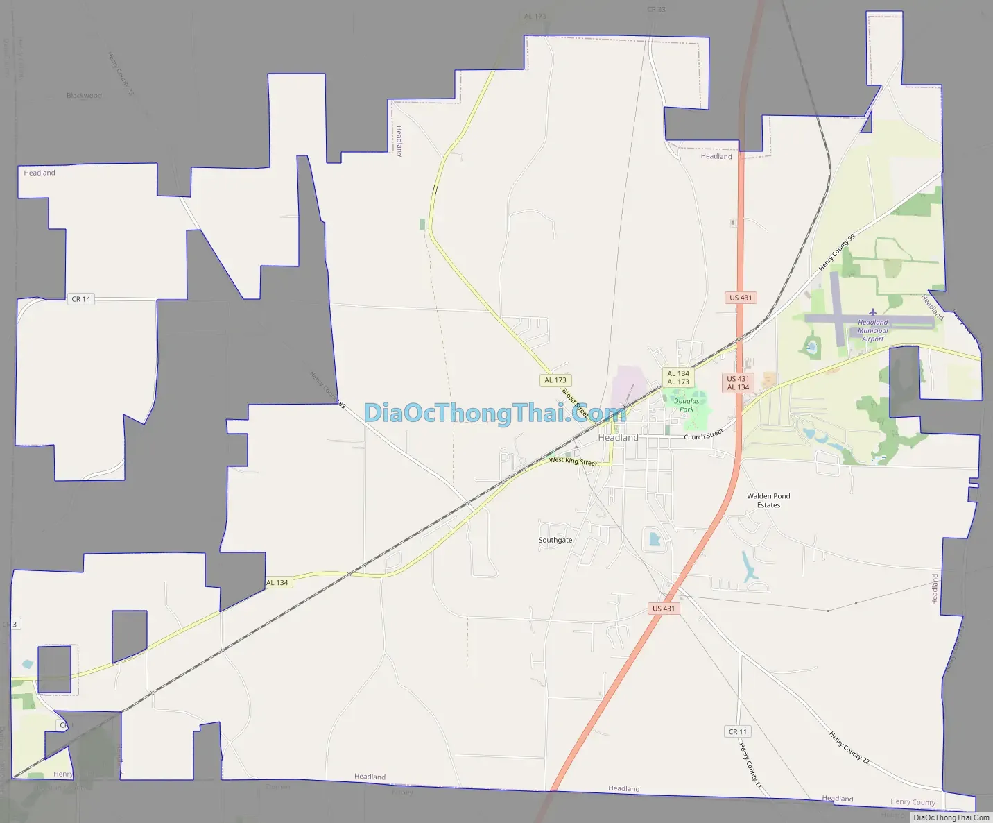
Headland Road Map
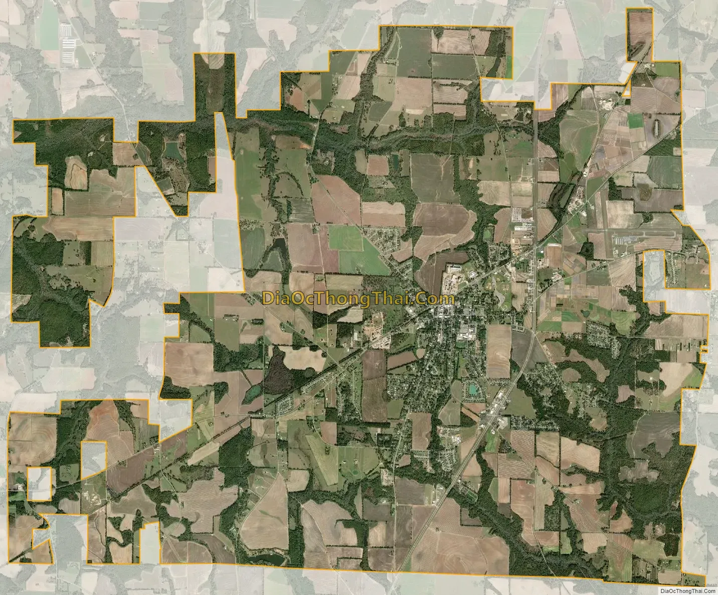
Headland city Satellite Map
Geography
Headland is located in the southwest corner of Henry County at 31°21′12″N 85°20′23″W / 31.35333°N 85.33972°W / 31.35333; -85.33972 (31.353410, -85.339793). It is bordered to the south by the city of Dothan and town of Kinsey in Houston County and to the west by Dale County.
U.S. Route 431, a four-lane highway, passes through the east side of Headland, leading south 10 miles (16 km) to the center of Dothan and north 18 miles (29 km) to Abbeville. Alabama State Route 134 runs through the center of Headland, leading east 16 miles (26 km) to Columbia next to the Georgia line, and west 10 miles (16 km) to Midland City.
According to the U.S. Census Bureau, Headland has a total area of 30.3 square miles (78.5 km), of which 0.01 square miles (0.03 km), or 0.03%, are water.
Climate
See also
Map of Alabama State and its subdivision:- Autauga
- Baldwin
- Barbour
- Bibb
- Blount
- Bullock
- Butler
- Calhoun
- Chambers
- Cherokee
- Chilton
- Choctaw
- Clarke
- Clay
- Cleburne
- Coffee
- Colbert
- Conecuh
- Coosa
- Covington
- Crenshaw
- Cullman
- Dale
- Dallas
- De Kalb
- Elmore
- Escambia
- Etowah
- Fayette
- Franklin
- Geneva
- Greene
- Hale
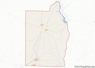
- Henry
- Houston
- Jackson
- Jefferson
- Lamar
- Lauderdale
- Lawrence
- Lee
- Limestone
- Lowndes
- Macon
- Madison
- Marengo
- Marion
- Marshall
- Mobile
- Monroe
- Montgomery
- Morgan
- Perry
- Pickens
- Pike
- Randolph
- Russell
- Saint Clair
- Shelby
- Sumter
- Talladega
- Tallapoosa
- Tuscaloosa
- Walker
- Washington
- Wilcox
- Winston
- Alabama
- Alaska
- Arizona
- Arkansas
- California
- Colorado
- Connecticut
- Delaware
- District of Columbia
- Florida
- Georgia
- Hawaii
- Idaho
- Illinois
- Indiana
- Iowa
- Kansas
- Kentucky
- Louisiana
- Maine
- Maryland
- Massachusetts
- Michigan
- Minnesota
- Mississippi
- Missouri
- Montana
- Nebraska
- Nevada
- New Hampshire
- New Jersey
- New Mexico
- New York
- North Carolina
- North Dakota
- Ohio
- Oklahoma
- Oregon
- Pennsylvania
- Rhode Island
- South Carolina
- South Dakota
- Tennessee
- Texas
- Utah
- Vermont
- Virginia
- Washington
- West Virginia
- Wisconsin
- Wyoming