Courtland is a town in Lawrence County, Alabama, United States, and is included in the Decatur Metropolitan Area, as well as the Huntsville-Decatur Combined Statistical Area. The population was 609 at the 2010 census, down from 769 in 2000.
| Name: | Courtland town |
|---|---|
| LSAD Code: | 43 |
| LSAD Description: | town (suffix) |
| State: | Alabama |
| County: | Lawrence County |
| Incorporated: | December 13, 1819 |
| Elevation: | 568 ft (173 m) |
| Total Area: | 2.98 sq mi (7.71 km²) |
| Land Area: | 2.95 sq mi (7.65 km²) |
| Water Area: | 0.03 sq mi (0.06 km²) |
| Total Population: | 583 |
| Population Density: | 197.49/sq mi (76.24/km²) |
| ZIP code: | 35618 |
| Area code: | 256 |
| FIPS code: | 0118040 |
| GNISfeature ID: | 2406323 |
Online Interactive Map
Click on ![]() to view map in "full screen" mode.
to view map in "full screen" mode.
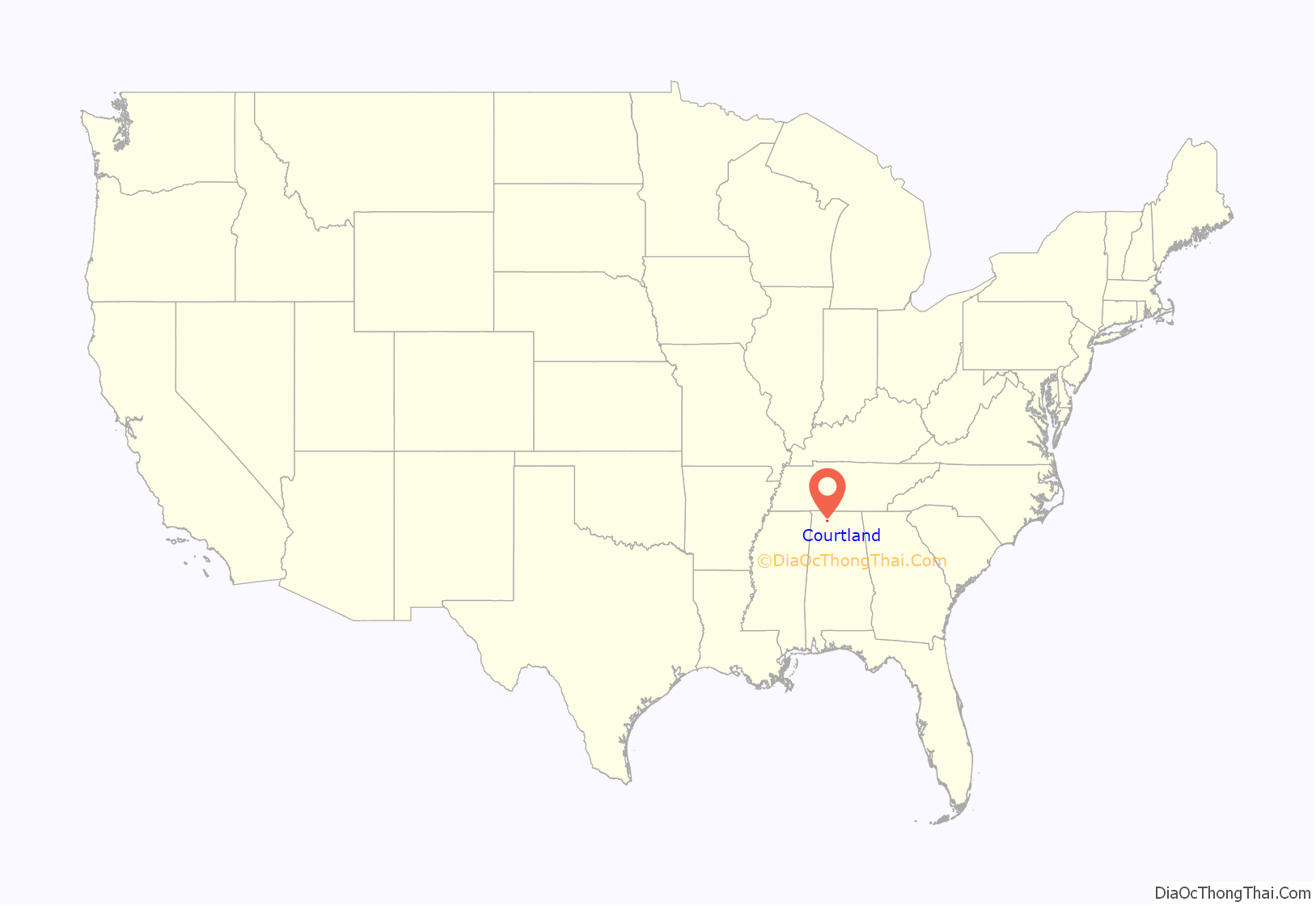
Courtland location map. Where is Courtland town?
History
A small creek named Big Nance Creek runs through the town. The creek was named for a Cherokee chief who lived in the area when the first European settlers arrived. The current town is reportedly located on the site of the Native American village.
Courtland began as a small settlement known as Ebenezer in the early 1800s. Its early settlers were wealthy planters mostly from Virginia, Tennessee, the Carolinas and Georgia. It was presently named for the federal courthouse and land office there. In 1818, a group known as the Courtland Land Company bought the land on which the town is now situated and subdivided it into lots. The town was incorporated on December 13, 1819, by the Alabama territorial legislature
The early roads Gaines Trace and Byler Road went through town.
One of the South’s earliest railroads, the Tuscumbia, Courtland and Decatur Railroad, was organized at Courtland in 1831, and chartered the following year. The railroad’s organizers routed the 50-mile (80 km) railroad to bypass the dangerous shoals along the Tennessee River to the north. The railroad was absorbed by the Memphis and Charleston Railroad in the 1850s, and later became part of the Southern Railway.
In 1835, Courtland physician Jack Shackelford organized a volunteer military unit to fight in the Texas Revolution. Known as the “Red Rovers” for the color of their uniforms, the company was captured by Mexican forces at Coleto in March 1836, and most of its men were killed in the Goliad massacre. Shackelford was among the few survivors.
In 1944 and 1945, during World War II, Courtland was home to the Courtland Army Airfield (Courtland AAF). It was dismantled after the war and given to the city of Courtland, which now operates it as Courtland Airport.
Courtland Historic District
In the early 1990s, more than 100 buildings in Courtland were listed on the National Register of Historic Places as the Courtland Historic District. Most of the buildings in the district date from the 1830s through the 1930s, and architectural styles include Federal, Italianate, Victorian, Colonial Revival, and Neoclassical. The Town Square was part of the town’s original 1818-1819 plan. Many of the commercial buildings facing the square, especially along College Street and Tennessee Street, were built in the 1890s and early 1900s. The train depot on the south side of the square, now a community center, was built in the late 1880s. The Old Sherrod Hotel, located at the northwest corner of Tennessee Street and Alabama Street, was built around 1930, and provided housing for early Tennessee Valley Authority employees.
The John McMahon House, a Federal-style home built around 1830, is listed individually on the National Register of Historic Places. Rocky Hill Castle was a forced-labor plantation whose architecturally renowned plantation house was demolished in 1961.
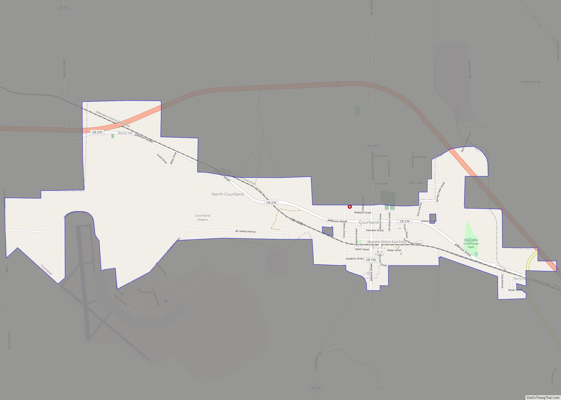
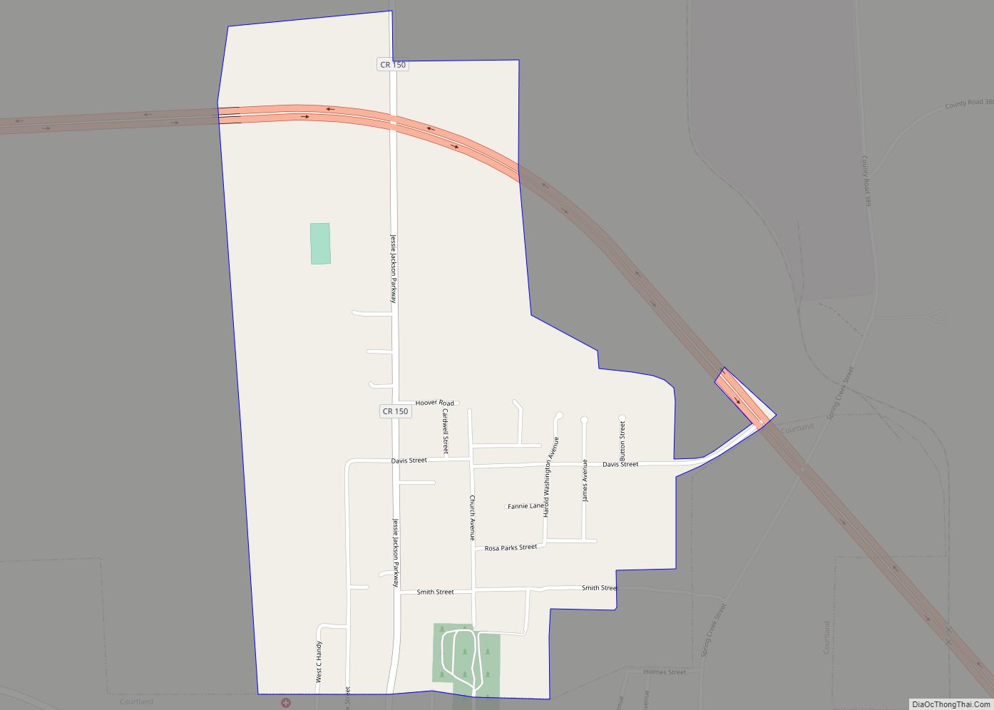
Courtland Road Map
Courtland city Satellite Map
Geography
Courtland is located at 34°40′6″N 87°18′39″W / 34.66833°N 87.31083°W / 34.66833; -87.31083 (34.668457, -87.310821). The town is concentrated in area along Big Nance Creek, a tributary of the Tennessee River, west of Decatur and southeast of Muscle Shoals. The town’s municipal boundaries extend northeastward to U.S. Route 72. The town of North Courtland borders Courtland to the north.
According to the U.S. Census Bureau, the town has a total area of 2.3 square miles (6.0 km), of which 2.3 square miles (6.0 km) is land and 0.43% is water.
See also
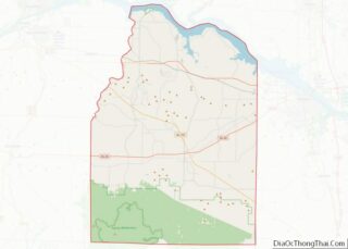
Map of Alabama State and its subdivision:- Autauga
- Baldwin
- Barbour
- Bibb
- Blount
- Bullock
- Butler
- Calhoun
- Chambers
- Cherokee
- Chilton
- Choctaw
- Clarke
- Clay
- Cleburne
- Coffee
- Colbert
- Conecuh
- Coosa
- Covington
- Crenshaw
- Cullman
- Dale
- Dallas
- De Kalb
- Elmore
- Escambia
- Etowah
- Fayette
- Franklin
- Geneva
- Greene
- Hale
- Henry
- Houston
- Jackson
- Jefferson
- Lamar
- Lauderdale
- Lawrence
- Lee
- Limestone
- Lowndes
- Macon
- Madison
- Marengo
- Marion
- Marshall
- Mobile
- Monroe
- Montgomery
- Morgan
- Perry
- Pickens
- Pike
- Randolph
- Russell
- Saint Clair
- Shelby
- Sumter
- Talladega
- Tallapoosa
- Tuscaloosa
- Walker
- Washington
- Wilcox
- Winston
- Alabama
- Alaska
- Arizona
- Arkansas
- California
- Colorado
- Connecticut
- Delaware
- District of Columbia
- Florida
- Georgia
- Hawaii
- Idaho
- Illinois
- Indiana
- Iowa
- Kansas
- Kentucky
- Louisiana
- Maine
- Maryland
- Massachusetts
- Michigan
- Minnesota
- Mississippi
- Missouri
- Montana
- Nebraska
- Nevada
- New Hampshire
- New Jersey
- New Mexico
- New York
- North Carolina
- North Dakota
- Ohio
- Oklahoma
- Oregon
- Pennsylvania
- Rhode Island
- South Carolina
- South Dakota
- Tennessee
- Texas
- Utah
- Vermont
- Virginia
- Washington
- West Virginia
- Wisconsin
- Wyoming
