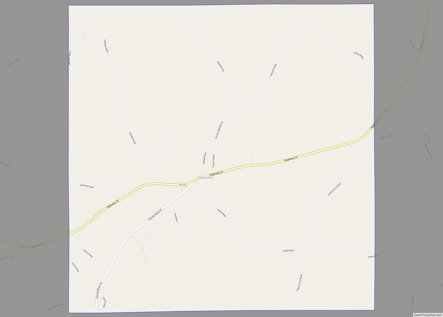
Daviston is a town in Tallapoosa County, Alabama, United States. At the 2010 census the population was 214, down from 267 in 2000.
| Name: | Daviston town |
|---|---|
| LSAD Code: | 43 |
| LSAD Description: | town (suffix) |
| State: | Alabama |
| County: | Tallapoosa County |
| Elevation: | 761 ft (232 m) |
| Total Area: | 9.16 sq mi (23.74 km²) |
| Land Area: | 9.13 sq mi (23.66 km²) |
| Water Area: | 0.03 sq mi (0.08 km²) |
| Total Population: | 174 |
| Population Density: | 19.05/sq mi (7.35/km²) |
| ZIP code: | 36256 |
| Area code: | 256 |
| FIPS code: | 0119816 |
| GNISfeature ID: | 0117144 |
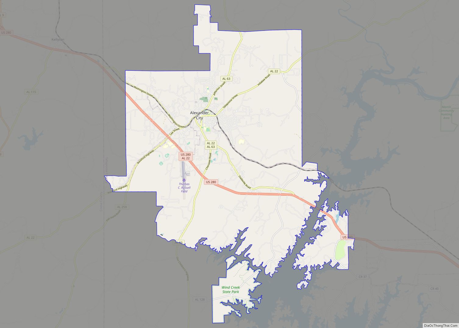
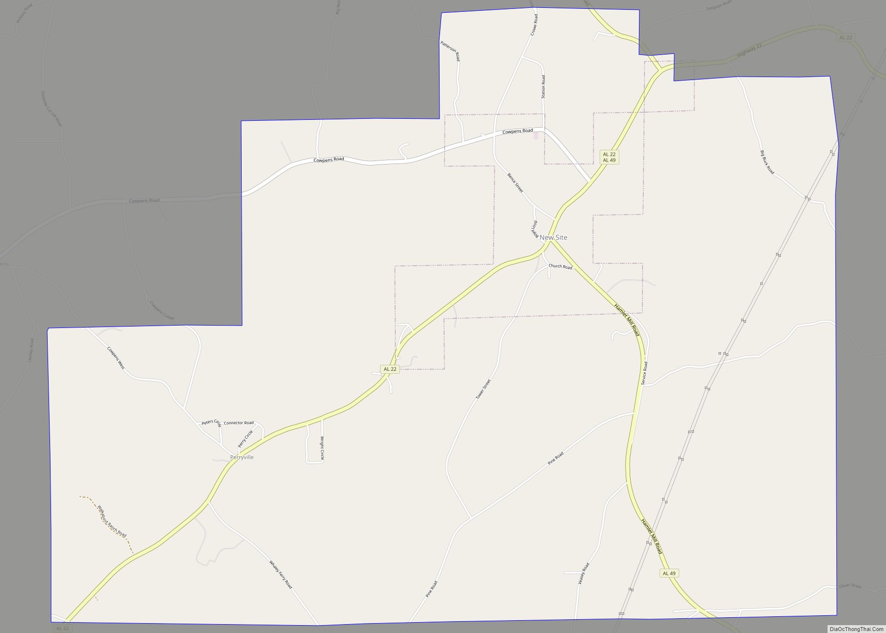
Online Interactive Map
Click on ![]() to view map in "full screen" mode.
to view map in "full screen" mode.
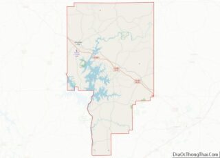
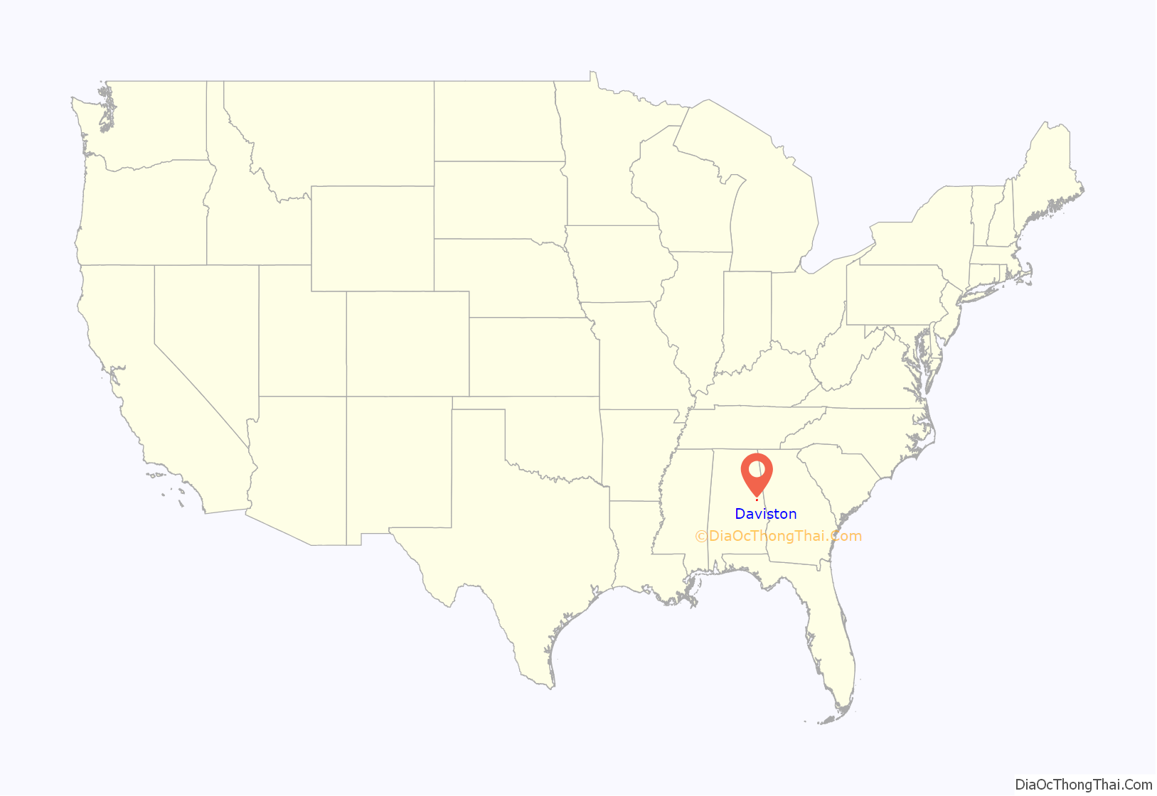
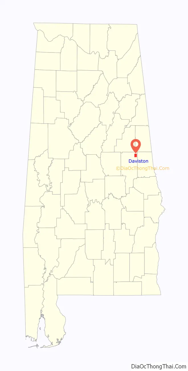
Daviston location map. Where is Daviston town?
History
Daviston, incorporated February 16, 1887, is believed to be the first incorporated rural town in Tallapoosa County. The first mayor was J.D. Dunn. Daviston was a natural evolution of the opening of Indian lands in 1832. Much of the Federal Horse Path was within Creek Indian lands in 1832. With construction of Chapman Road from West Point, Georgia to Fort Williams, Alabama on the Coosa River, land areas opened up to white settlement.
Daviston flourished with improved roads and became a hub of migration. It had grist and saw mills, a blacksmith shop, buggy shop, coffin shop, general mercantile, public well, federal distillery, six saloons or inns, pharmacy, and doctors. The first land deed found was dated 1836 to S.W. Monk. The post office was established in 1853 with John Davis as the first postmaster. The story told over the years is that he used his own name for the town name. When he submitted the name to the government, due to poor penmanship or a mistake, “Davis Town” became Daviston and has since remained.
Daviston School
In 1883, Walker Allen and his twin, Walter, moved to Daviston. Walker Allen was elected principal of Daviston School. In 1884, a wooden two-story building was started on land given by J.T. Moncus to be called Daviston College. It became a high school around 1912. The building burned in 1923. Another building was built and burned before being used. A third building was constructed in 1923 and received accreditation that year. Lillie Thompson, who graduated in 1916, was the first graduate of Daviston High School.
The school closed in 1988. At the time of closing, it was the smallest school in Alabama with 120 K-12 students. Thirty-eight principals served from 1883–1988. For 105 years, Daviston School served as the center of the community. In 1998, a committee formed to initiate a Daviston School Reunion to be held annually in the center of the town on the second Saturday of November.
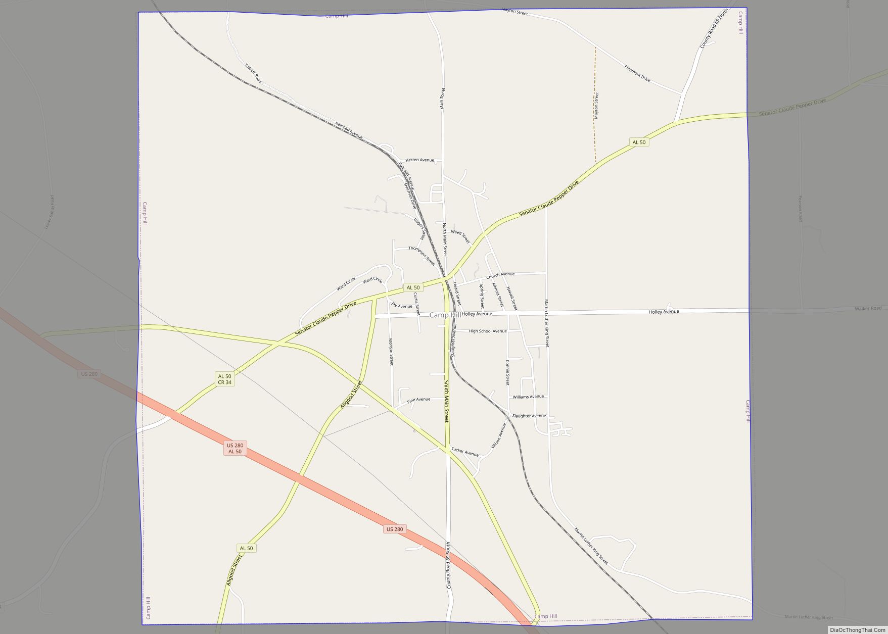
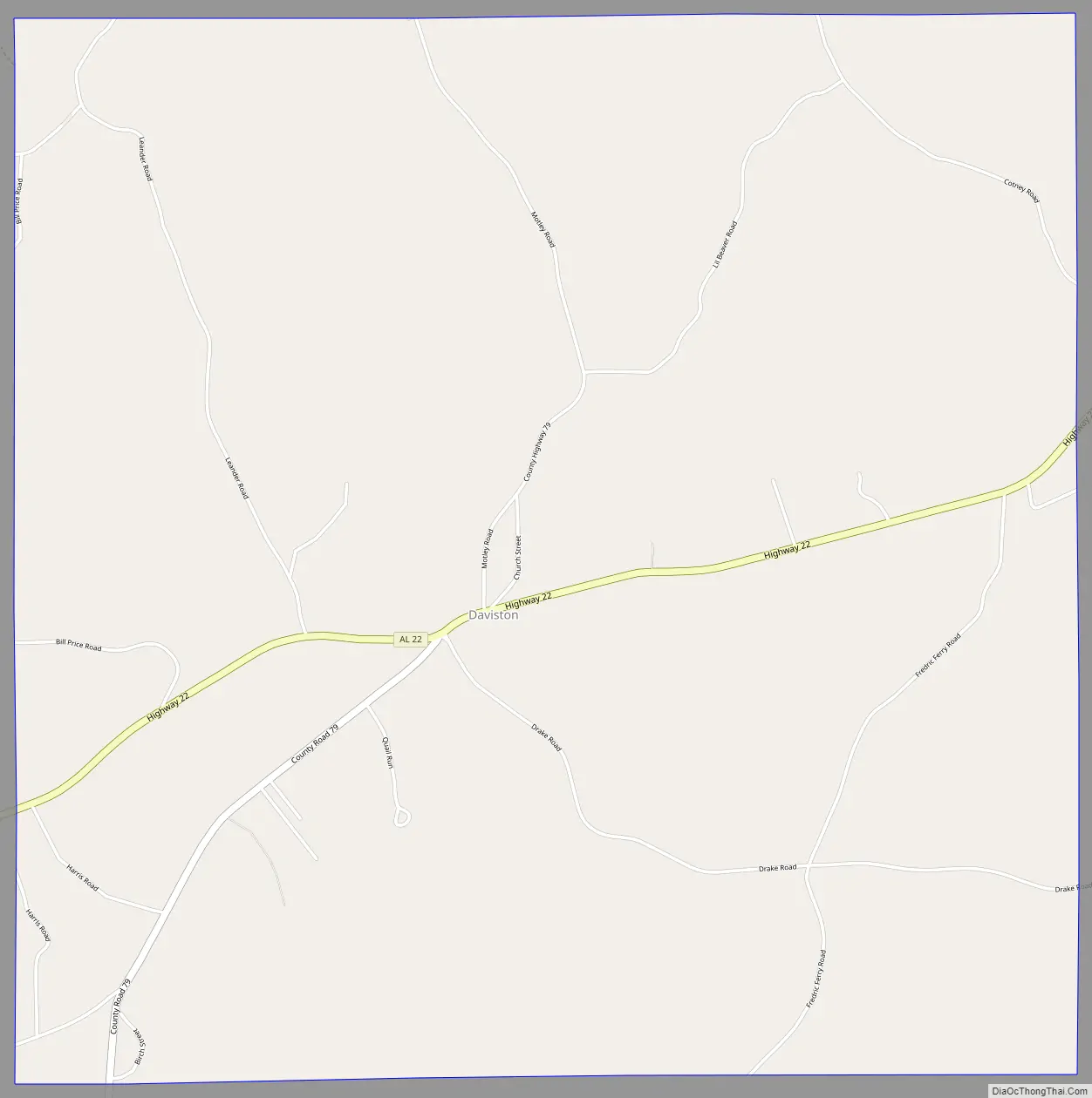
Daviston Road Map
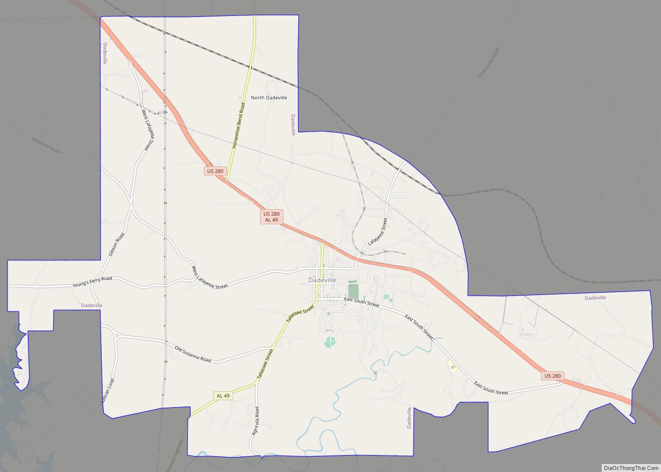
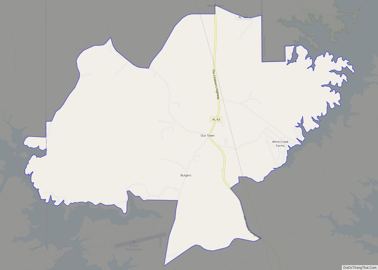
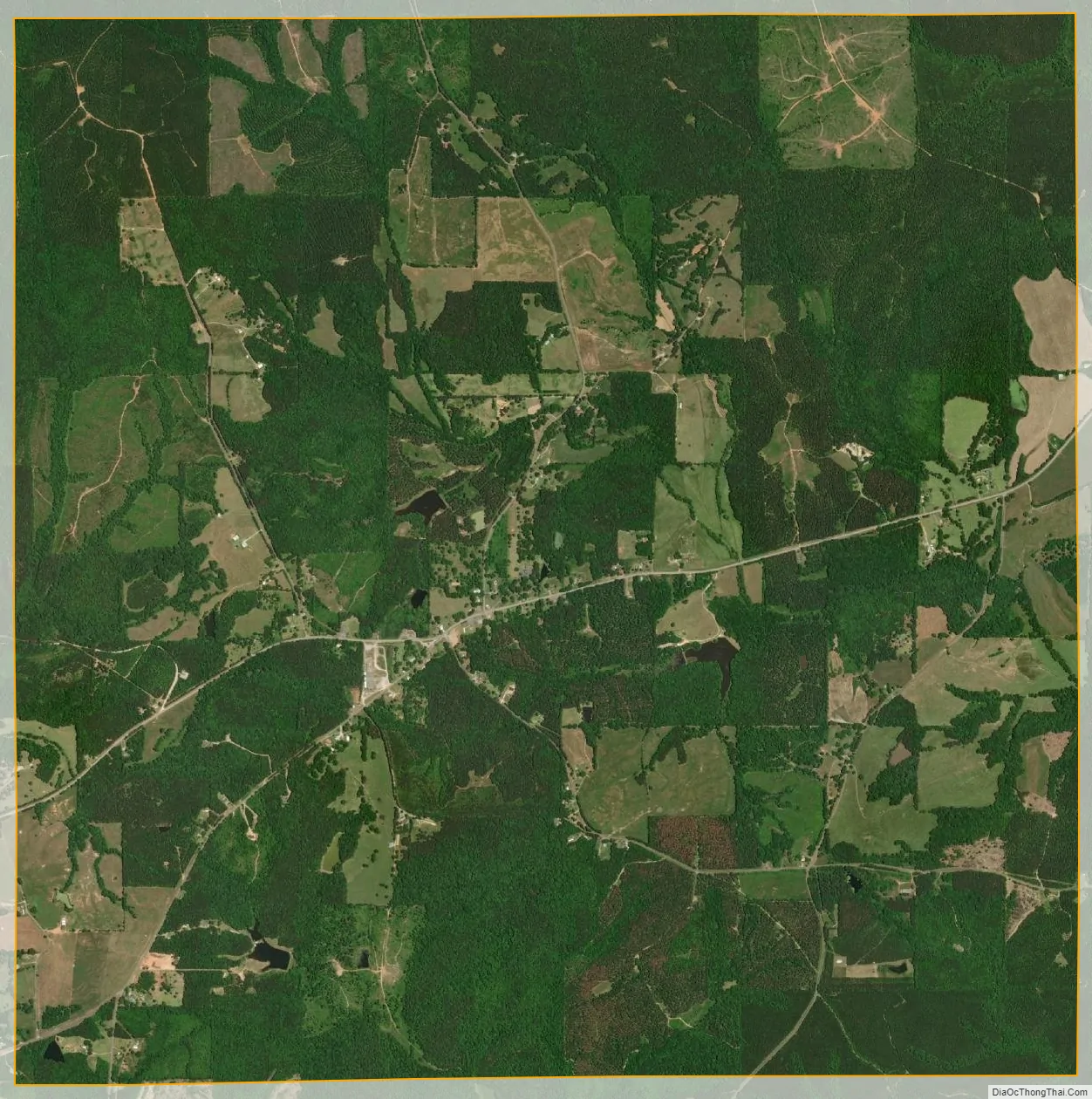
Daviston city Satellite Map
Geography
Daviston is located at 33°3′19″N 85°38′21″W / 33.05528°N 85.63917°W / 33.05528; -85.63917 (33.055251, -85.639164).
According to the U.S. Census Bureau, the town has a total area of 9.2 square miles (24 km), of which 9.2 square miles (24 km) is land and 0.11% is water.
See also
Map of Alabama State and its subdivision:- Autauga
- Baldwin
- Barbour
- Bibb
- Blount
- Bullock
- Butler
- Calhoun
- Chambers
- Cherokee
- Chilton
- Choctaw
- Clarke
- Clay
- Cleburne
- Coffee
- Colbert
- Conecuh
- Coosa
- Covington
- Crenshaw
- Cullman
- Dale
- Dallas
- De Kalb
- Elmore
- Escambia
- Etowah
- Fayette
- Franklin
- Geneva
- Greene
- Hale
- Henry
- Houston
- Jackson
- Jefferson
- Lamar
- Lauderdale
- Lawrence
- Lee
- Limestone
- Lowndes
- Macon
- Madison
- Marengo
- Marion
- Marshall
- Mobile
- Monroe
- Montgomery
- Morgan
- Perry
- Pickens
- Pike
- Randolph
- Russell
- Saint Clair
- Shelby
- Sumter
- Talladega
- Tallapoosa
- Tuscaloosa
- Walker
- Washington
- Wilcox
- Winston
- Alabama
- Alaska
- Arizona
- Arkansas
- California
- Colorado
- Connecticut
- Delaware
- District of Columbia
- Florida
- Georgia
- Hawaii
- Idaho
- Illinois
- Indiana
- Iowa
- Kansas
- Kentucky
- Louisiana
- Maine
- Maryland
- Massachusetts
- Michigan
- Minnesota
- Mississippi
- Missouri
- Montana
- Nebraska
- Nevada
- New Hampshire
- New Jersey
- New Mexico
- New York
- North Carolina
- North Dakota
- Ohio
- Oklahoma
- Oregon
- Pennsylvania
- Rhode Island
- South Carolina
- South Dakota
- Tennessee
- Texas
- Utah
- Vermont
- Virginia
- Washington
- West Virginia
- Wisconsin
- Wyoming