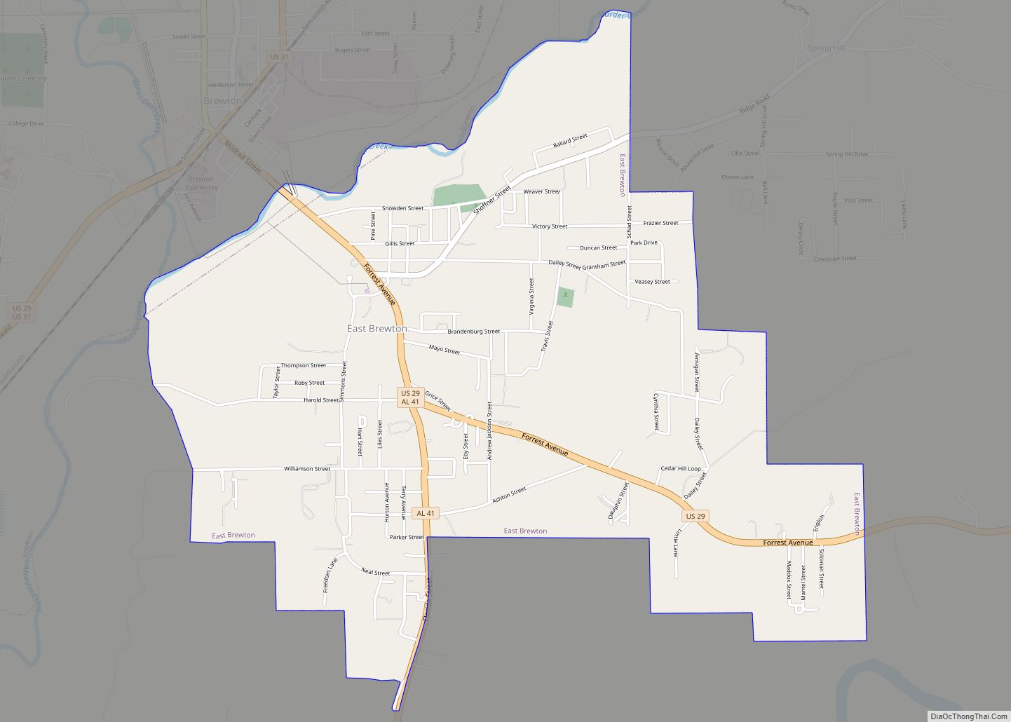
East Brewton is a city in Escambia County, Alabama, United States. It was incorporated in October 1918. At the 2020 census, the population was 2,293. The community grew around Fort Crawford, a fort built to protect early settlers of the area.
| Name: | East Brewton city |
|---|---|
| LSAD Code: | 25 |
| LSAD Description: | city (suffix) |
| State: | Alabama |
| County: | Escambia County |
| Elevation: | 98 ft (30 m) |
| Total Area: | 3.44 sq mi (8.92 km²) |
| Land Area: | 3.41 sq mi (8.83 km²) |
| Water Area: | 0.04 sq mi (0.09 km²) |
| Total Population: | 2,293 |
| Population Density: | 672.83/sq mi (259.79/km²) |
| ZIP code: | 36426-36427 |
| Area code: | 251 |
| FIPS code: | 0122216 |
| GNISfeature ID: | 0117739 |
| Website: | eastbrewton.org |
Online Interactive Map
Click on ![]() to view map in "full screen" mode.
to view map in "full screen" mode.
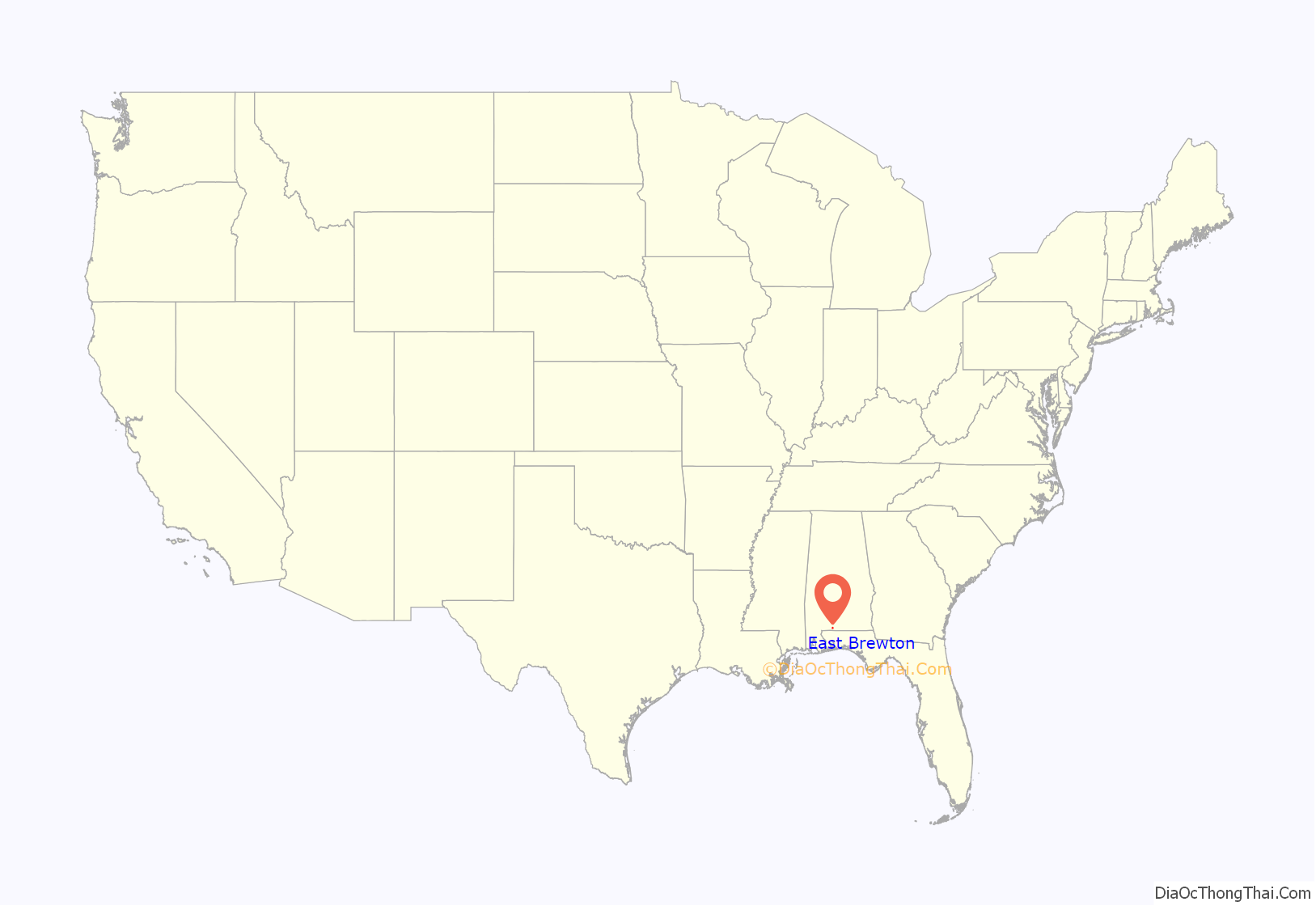
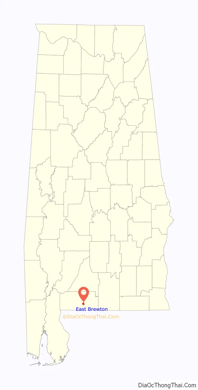
East Brewton location map. Where is East Brewton city?
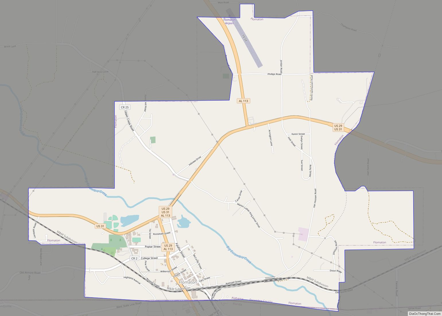
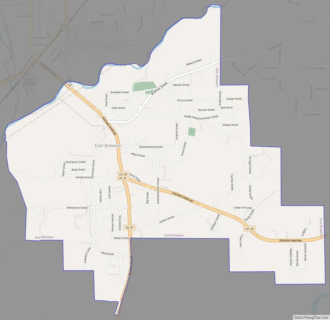
East Brewton Road Map
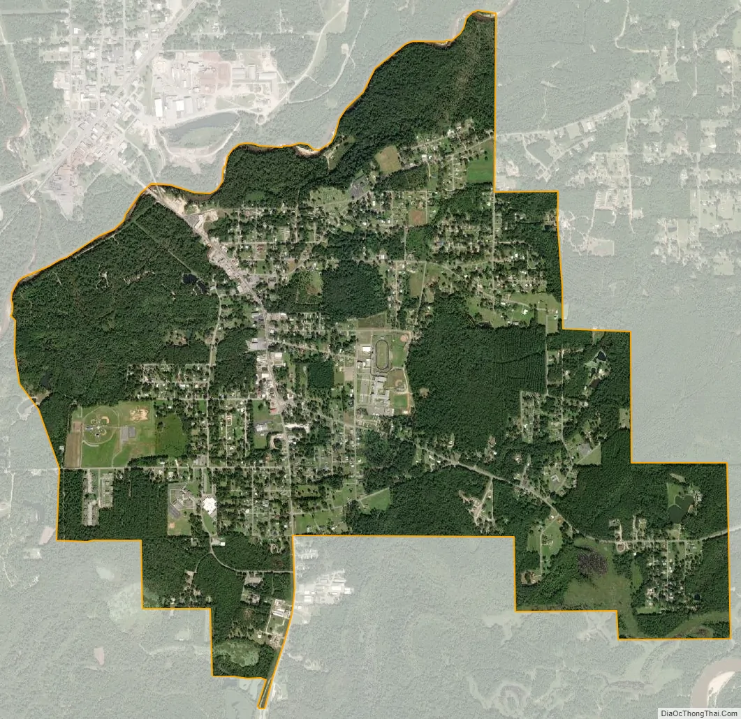
East Brewton city Satellite Map
Geography
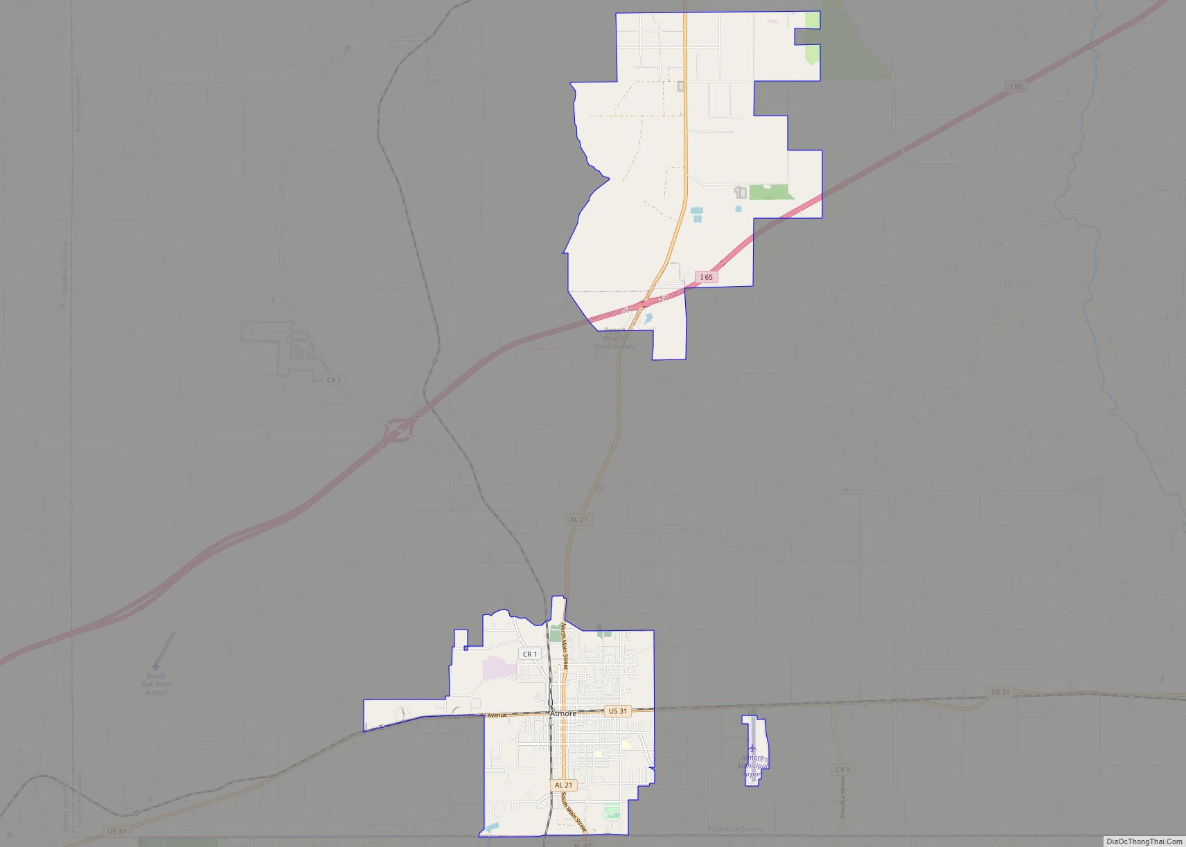
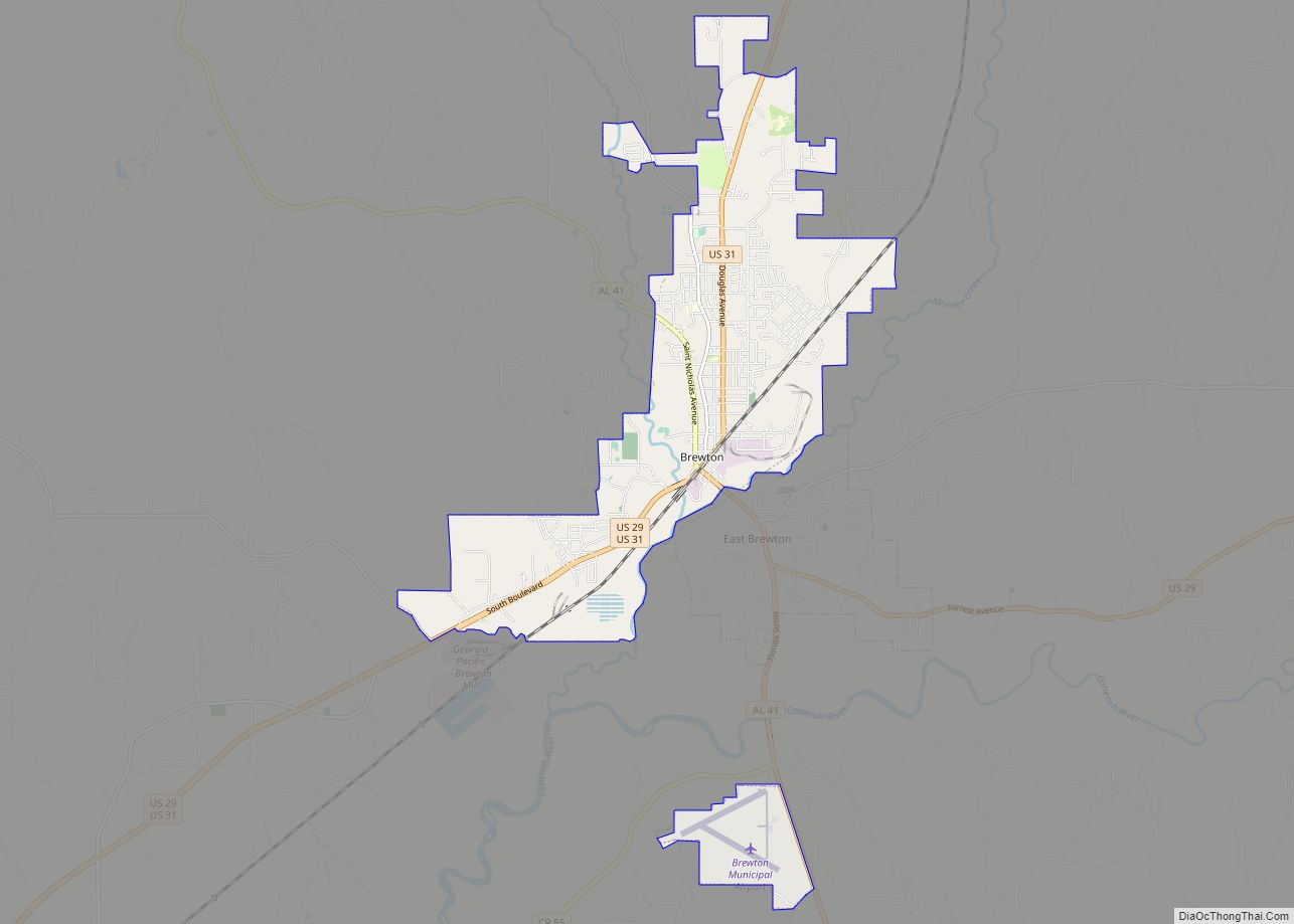
East Brewton is located in east-central Escambia County at 31°5′33″N 87°3′11″W / 31.09250°N 87.05306°W / 31.09250; -87.05306 (31.092408, -87.053174). It is bordered to the northwest by the city of Brewton, across Murder Creek.
U.S. Route 29 and Alabama State Route 41 pass through the center of East Brewton as Forrest Avenue and lead northwest into the center of Brewton. In the other direction, US 29 runs east, then northeast, 44 miles (71 km) to Andalusia, while AL 41 leads south 7 miles (11 km) to the Florida line. Milton, Florida, is 34 miles (55 km) south of East Brewton via AL 41 and Florida State Road 87.
According to the U.S. Census Bureau, East Brewton has a total area of 3.4 square miles (8.9 km), of which 3.4 square miles (8.8 km) is land and 0.04 square miles (0.1 km), or 1.02%, is water.
See also
Map of Alabama State and its subdivision:- Autauga
- Baldwin
- Barbour
- Bibb
- Blount
- Bullock
- Butler
- Calhoun
- Chambers
- Cherokee
- Chilton
- Choctaw
- Clarke
- Clay
- Cleburne
- Coffee
- Colbert
- Conecuh
- Coosa
- Covington
- Crenshaw
- Cullman
- Dale
- Dallas
- De Kalb
- Elmore
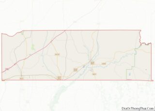
- Escambia
- Etowah
- Fayette
- Franklin
- Geneva
- Greene
- Hale
- Henry
- Houston
- Jackson
- Jefferson
- Lamar
- Lauderdale
- Lawrence
- Lee
- Limestone
- Lowndes
- Macon
- Madison
- Marengo
- Marion
- Marshall
- Mobile
- Monroe
- Montgomery
- Morgan
- Perry
- Pickens
- Pike
- Randolph
- Russell
- Saint Clair
- Shelby
- Sumter
- Talladega
- Tallapoosa
- Tuscaloosa
- Walker
- Washington
- Wilcox
- Winston
- Alabama
- Alaska
- Arizona
- Arkansas
- California
- Colorado
- Connecticut
- Delaware
- District of Columbia
- Florida
- Georgia
- Hawaii
- Idaho
- Illinois
- Indiana
- Iowa
- Kansas
- Kentucky
- Louisiana
- Maine
- Maryland
- Massachusetts
- Michigan
- Minnesota
- Mississippi
- Missouri
- Montana
- Nebraska
- Nevada
- New Hampshire
- New Jersey
- New Mexico
- New York
- North Carolina
- North Dakota
- Ohio
- Oklahoma
- Oregon
- Pennsylvania
- Rhode Island
- South Carolina
- South Dakota
- Tennessee
- Texas
- Utah
- Vermont
- Virginia
- Washington
- West Virginia
- Wisconsin
- Wyoming