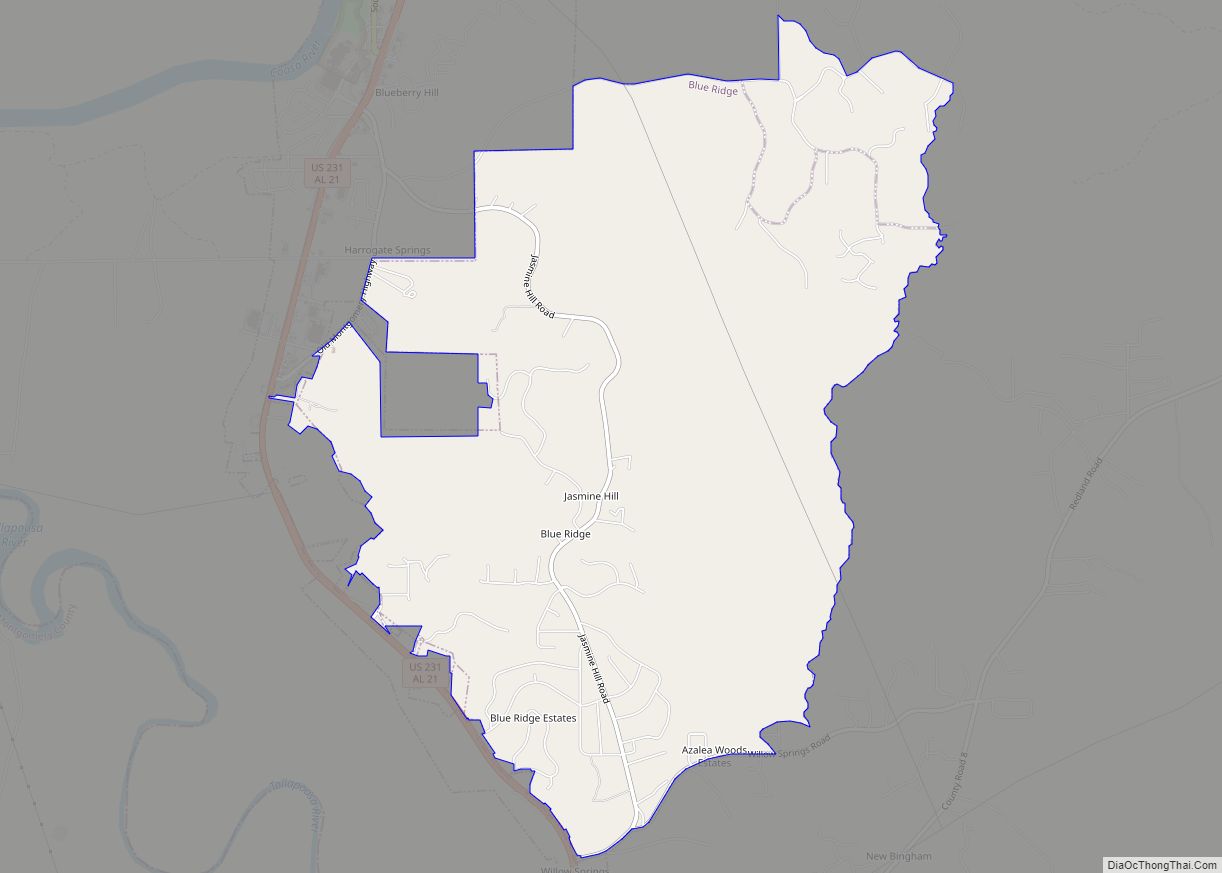
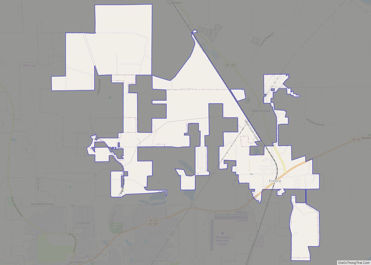
Elmore is a town in Elmore County, Alabama, United States. Although initially incorporated in 1906, it lapsed and was not reincorporated again until 1997. At the 2010 census the population was 1,262, up from 199 in 2000. It is part of the Montgomery Metropolitan Statistical Area.
| Name: | Elmore town |
|---|---|
| LSAD Code: | 43 |
| LSAD Description: | town (suffix) |
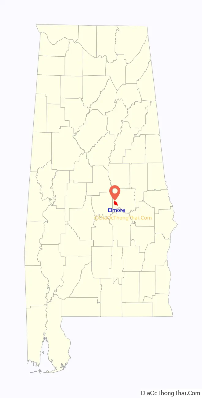
| State: | Alabama |
| County: | Elmore County |
| Elevation: | 217 ft (66 m) |
| Total Area: | 6.41 sq mi (16.61 km²) |
| Land Area: | 6.27 sq mi (16.25 km²) |
| Water Area: | 0.14 sq mi (0.36 km²) |
| Total Population: | 1,280 |
| Population Density: | 204.02/sq mi (78.77/km²) |
| ZIP code: | 36025 |
| Area code: | 334 |
| FIPS code: | 0123656 |
| GNISfeature ID: | 0117956 |
| Website: | townofelmore.com |
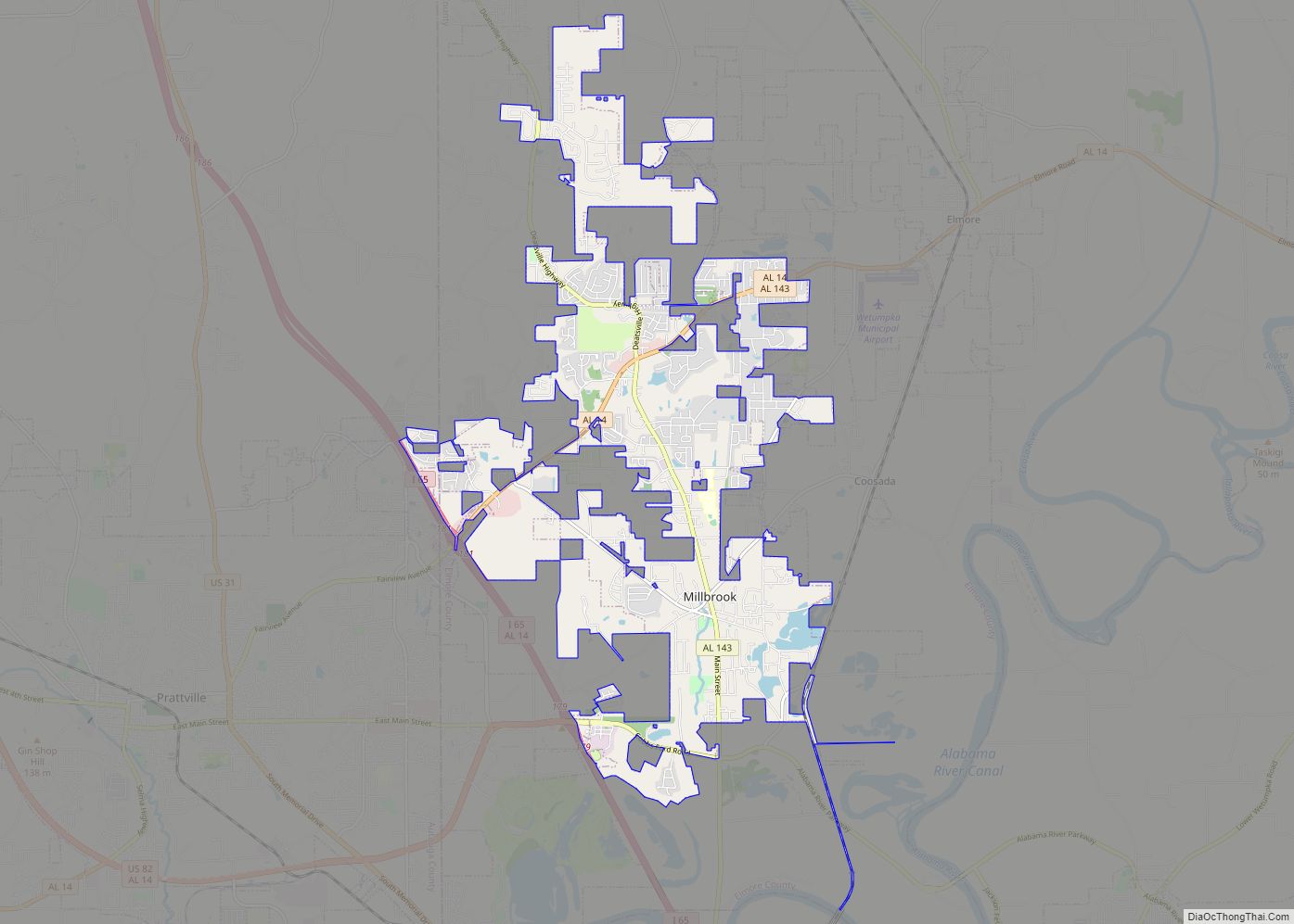
Online Interactive Map
Click on ![]() to view map in "full screen" mode.
to view map in "full screen" mode.
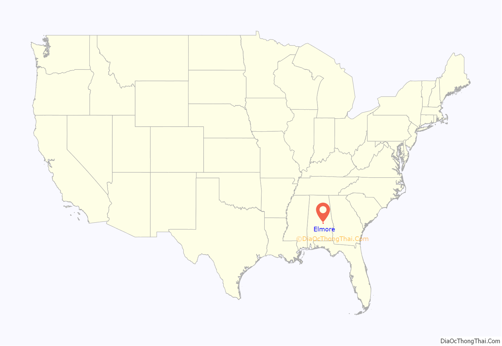
Elmore location map. Where is Elmore town?
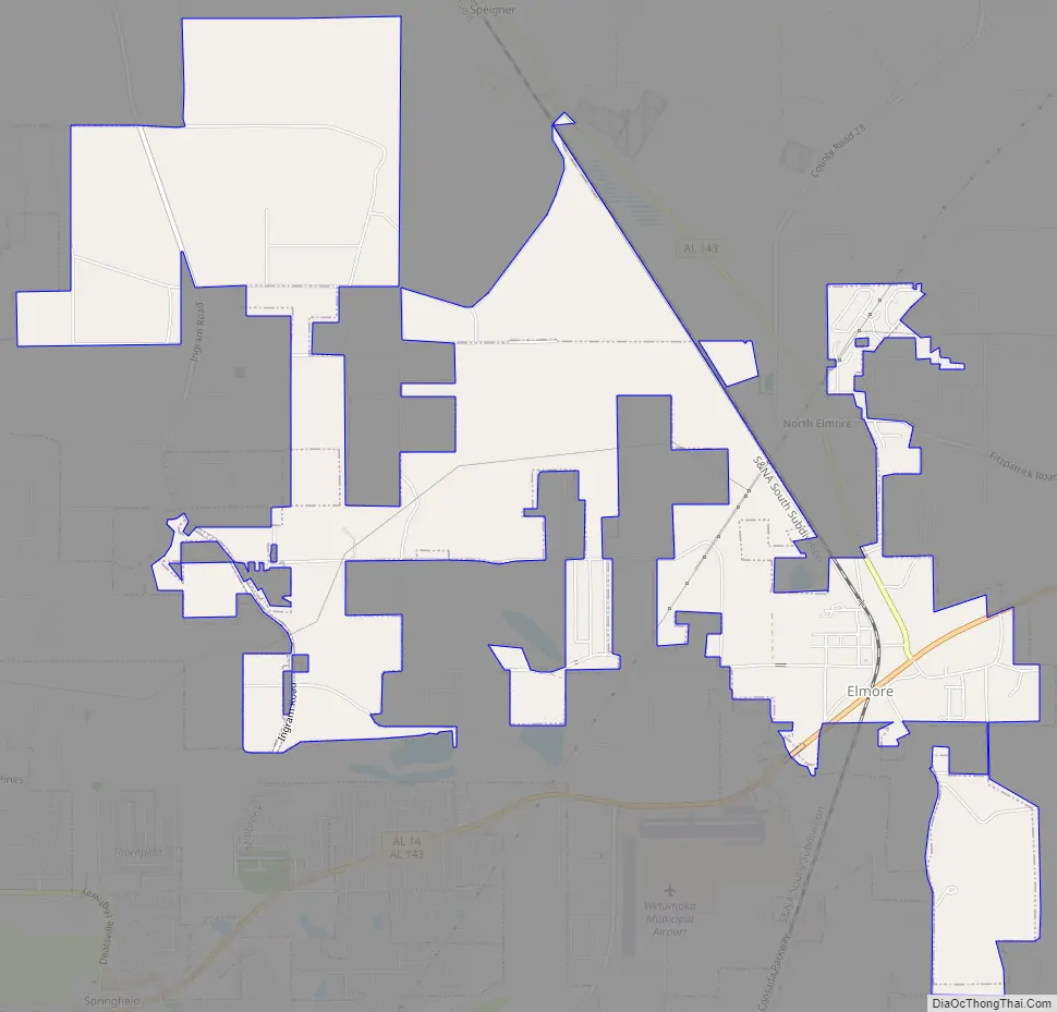
Elmore Road Map
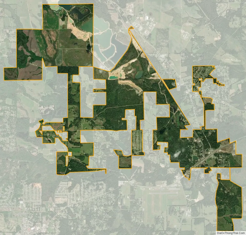
Elmore city Satellite Map
Geography
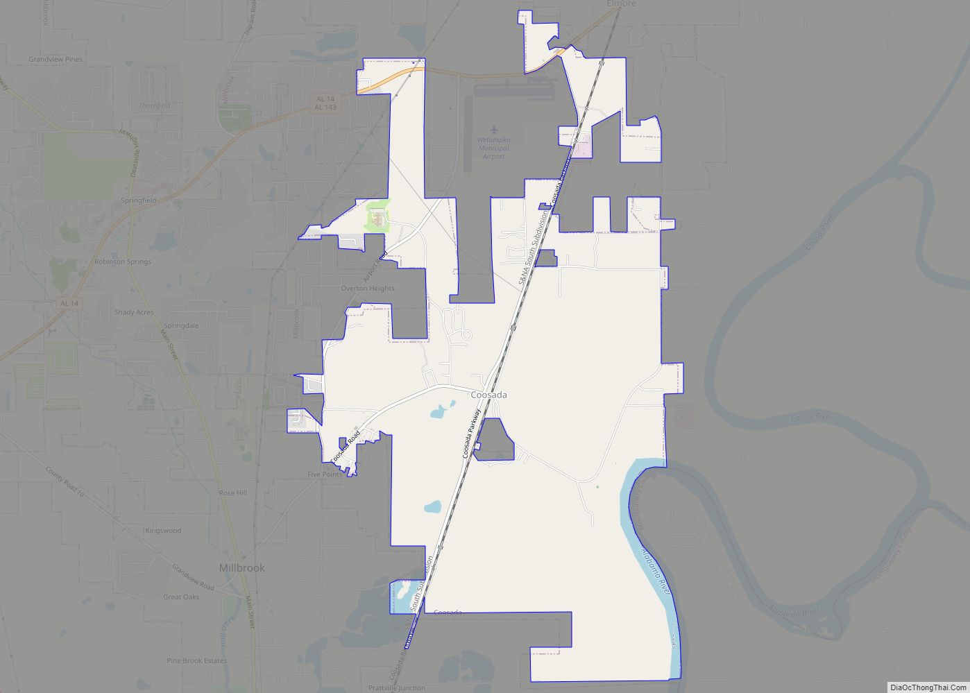
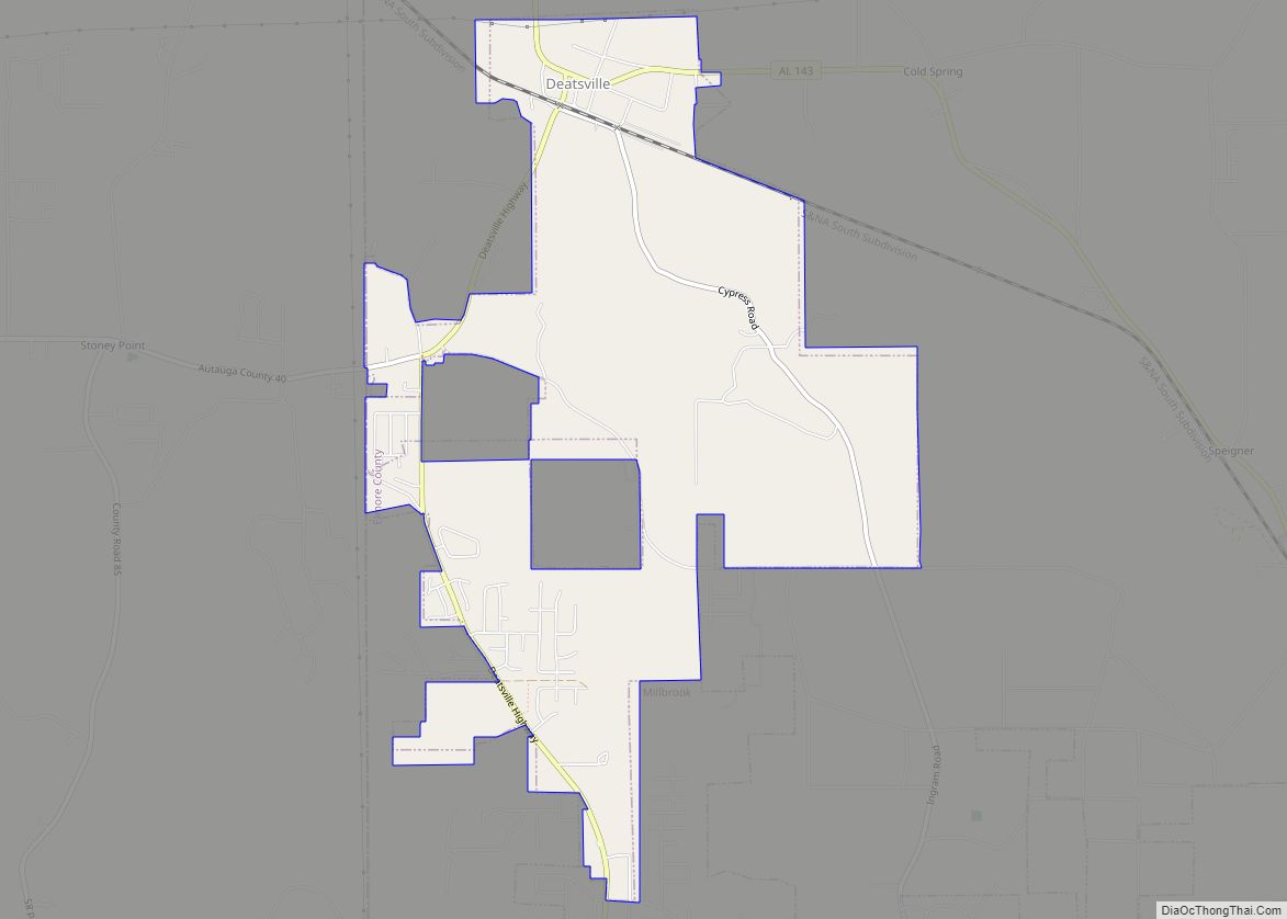
Elmore is located in western Elmore County at 32°32′32″N 86°18′56″W / 32.54222°N 86.31556°W / 32.54222; -86.31556 (32.542314, -86.315455). It is bordered to the west by Millbrook and to the south by Coosada. Alabama State Route 14 passes through the town, leading east 7 miles (11 km) to Wetumpka and west 10 miles (16 km) to Prattville. Montgomery, the state capital, is 15 miles (24 km) to the south via Cook Road and Coosada Parkway.
According to the U.S. Census Bureau, the town of Elmore has a total area of 4.0 square miles (10.4 km), of which 3.9 square miles (10.2 km) is land and 0.1 square miles (0.2 km), or 1.69%, is water.
See also
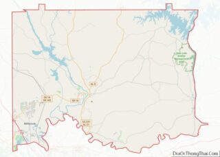
Map of Alabama State and its subdivision:- Autauga
- Baldwin
- Barbour
- Bibb
- Blount
- Bullock
- Butler
- Calhoun
- Chambers
- Cherokee
- Chilton
- Choctaw
- Clarke
- Clay
- Cleburne
- Coffee
- Colbert
- Conecuh
- Coosa
- Covington
- Crenshaw
- Cullman
- Dale
- Dallas
- De Kalb
- Elmore
- Escambia
- Etowah
- Fayette
- Franklin
- Geneva
- Greene
- Hale
- Henry
- Houston
- Jackson
- Jefferson
- Lamar
- Lauderdale
- Lawrence
- Lee
- Limestone
- Lowndes
- Macon
- Madison
- Marengo
- Marion
- Marshall
- Mobile
- Monroe
- Montgomery
- Morgan
- Perry
- Pickens
- Pike
- Randolph
- Russell
- Saint Clair
- Shelby
- Sumter
- Talladega
- Tallapoosa
- Tuscaloosa
- Walker
- Washington
- Wilcox
- Winston
- Alabama
- Alaska
- Arizona
- Arkansas
- California
- Colorado
- Connecticut
- Delaware
- District of Columbia
- Florida
- Georgia
- Hawaii
- Idaho
- Illinois
- Indiana
- Iowa
- Kansas
- Kentucky
- Louisiana
- Maine
- Maryland
- Massachusetts
- Michigan
- Minnesota
- Mississippi
- Missouri
- Montana
- Nebraska
- Nevada
- New Hampshire
- New Jersey
- New Mexico
- New York
- North Carolina
- North Dakota
- Ohio
- Oklahoma
- Oregon
- Pennsylvania
- Rhode Island
- South Carolina
- South Dakota
- Tennessee
- Texas
- Utah
- Vermont
- Virginia
- Washington
- West Virginia
- Wisconsin
- Wyoming