Faunsdale is a town in Marengo County, Alabama, United States. At the 2020 census the population was 90, down from 98 in 2010. Faunsdale is home to a community of Holdeman Mennonites, the such community outside of Greensboro, Alabama. The town has the only Holdeman Mennonite Church in the area, Cedarcrest Mennonite Church.
| Name: | Faunsdale town |
|---|---|
| LSAD Code: | 43 |
| LSAD Description: | town (suffix) |
| State: | Alabama |
| County: | Marengo County |
| Elevation: | 220 ft (67 m) |
| Total Area: | 0.28 sq mi (0.72 km²) |
| Land Area: | 0.28 sq mi (0.72 km²) |
| Water Area: | 0.00 sq mi (0.00 km²) |
| Total Population: | 90 |
| Population Density: | 324.91/sq mi (125.43/km²) |
| ZIP code: | 36738 |
| Area code: | 334 |
| FIPS code: | 0125816 |
| GNISfeature ID: | 0118220 |
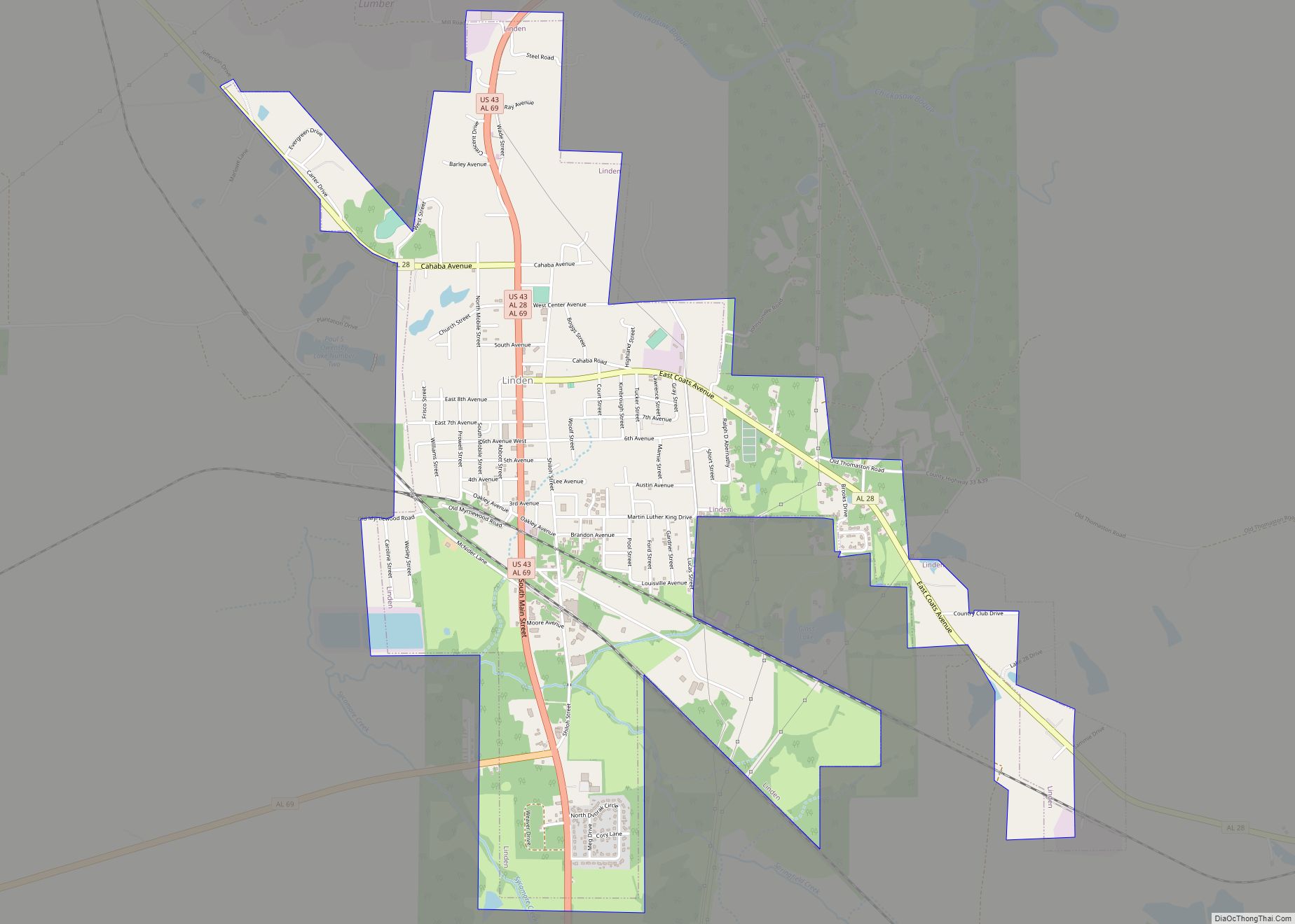
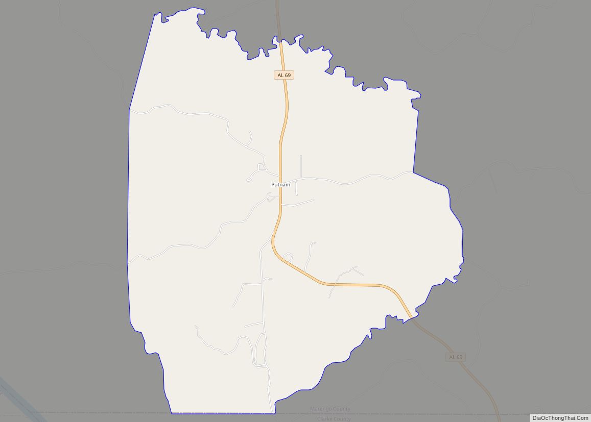
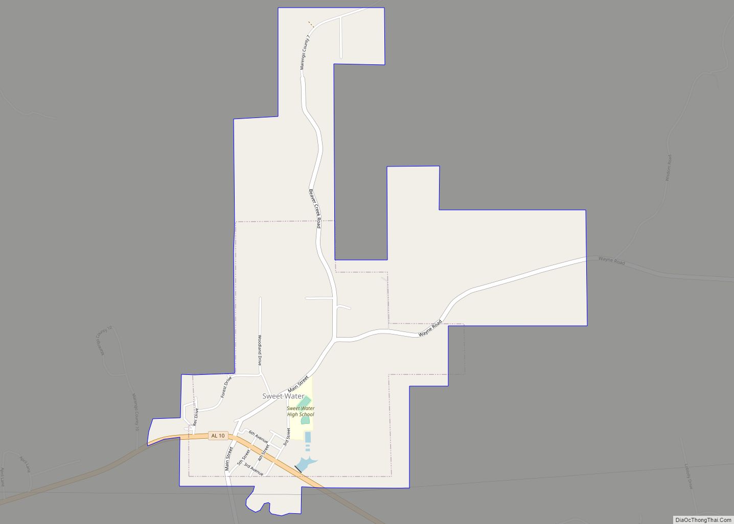
Online Interactive Map
Click on ![]() to view map in "full screen" mode.
to view map in "full screen" mode.
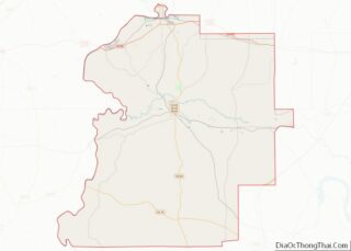
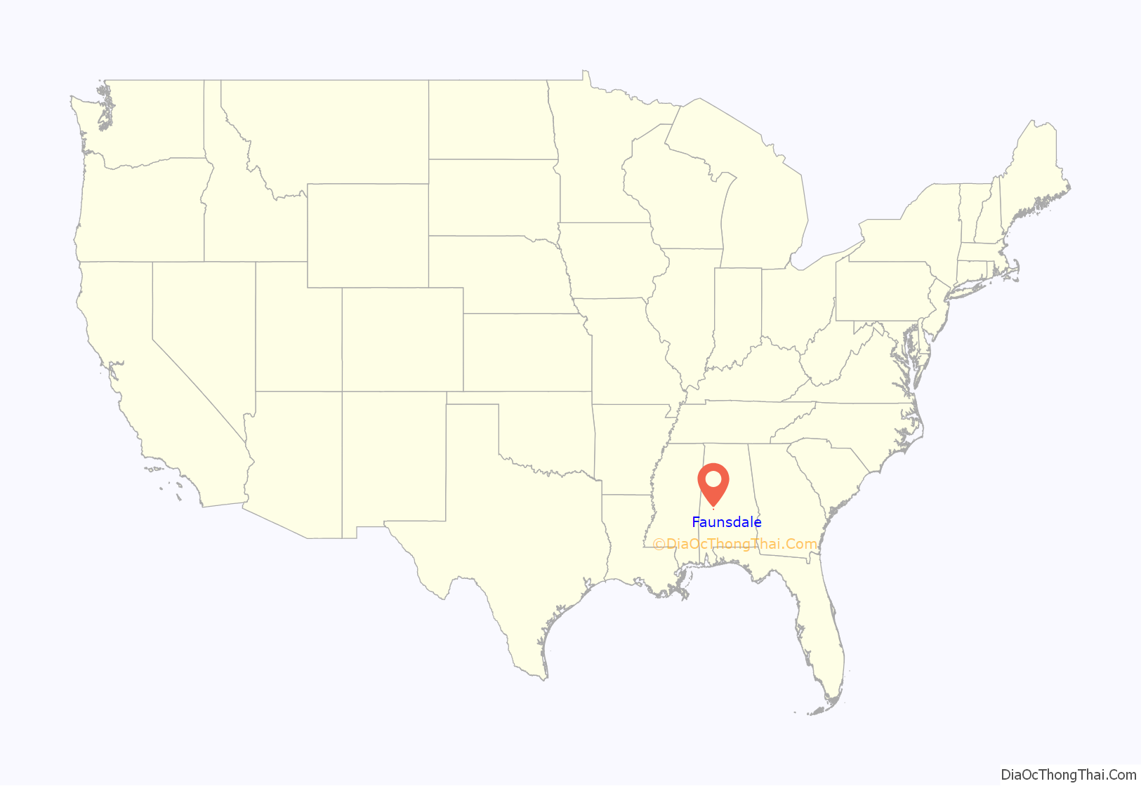
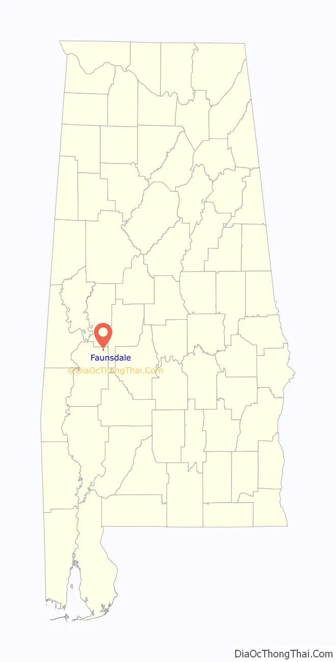
Faunsdale location map. Where is Faunsdale town?
History
A post office called Faunsdale has been in operation since 1841. The town was named for nearby Faunsdale Plantation, named after a Roman god and owned since 1843 by Dr. Thomas Alexander Harrison. The town was named in his honor.
The plantation had been founded in the 1830s by Messrs Pearson and Henry Augustine Tayloe. The latter was also the local land agent for his older brothers Benjamin Ogle Tayloe, William Henry Tayloe, Edward Thornton Tayloe, and George Plater Tayloe, who all invested some of their great wealth in several plantations in this area. A 20th-century historian said they were “considered the most important pioneer cotton planters of the Canebrake, as to the extent of their enterprise there.”
Faunsdale was incorporated as a town in 1907.
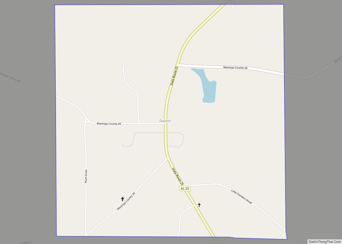
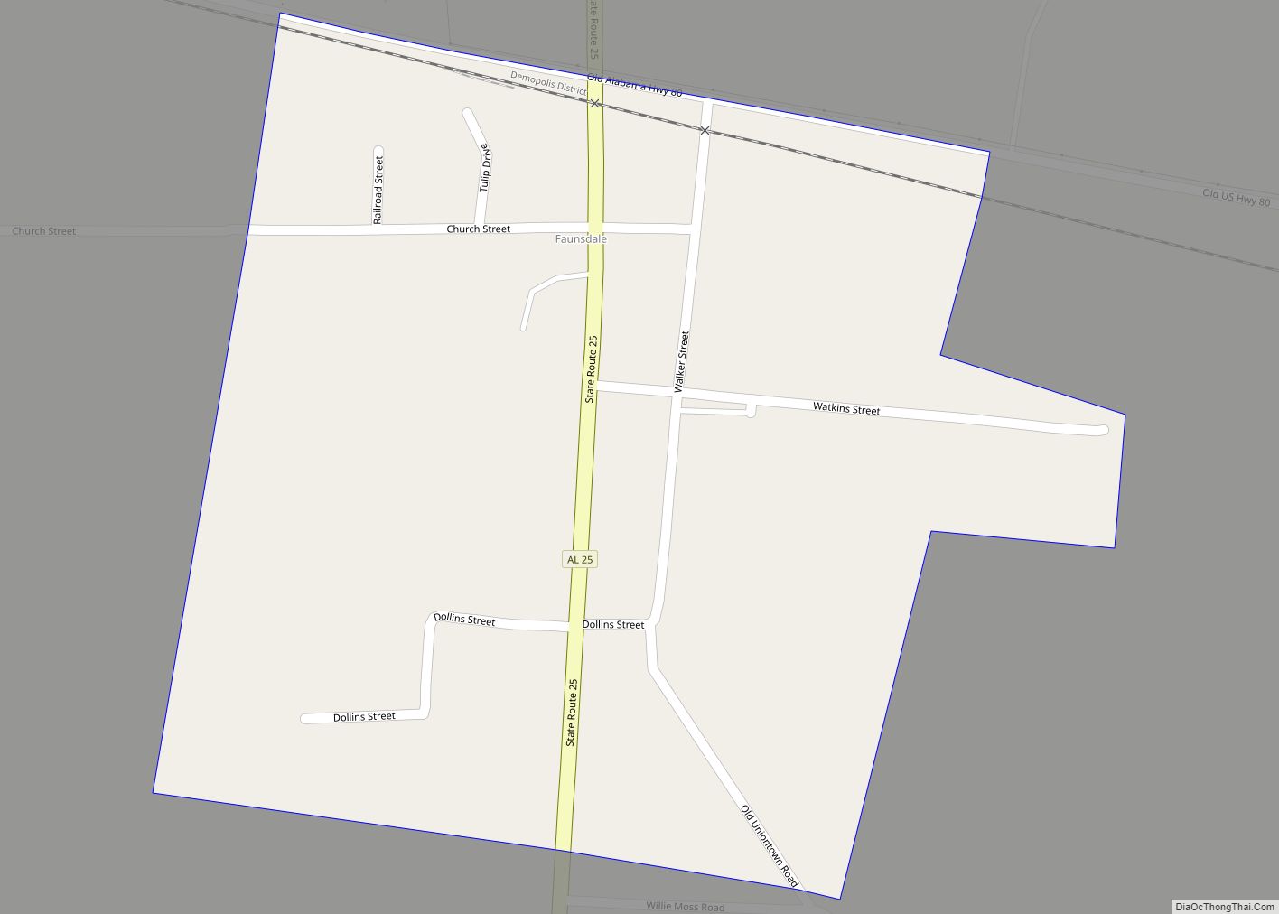
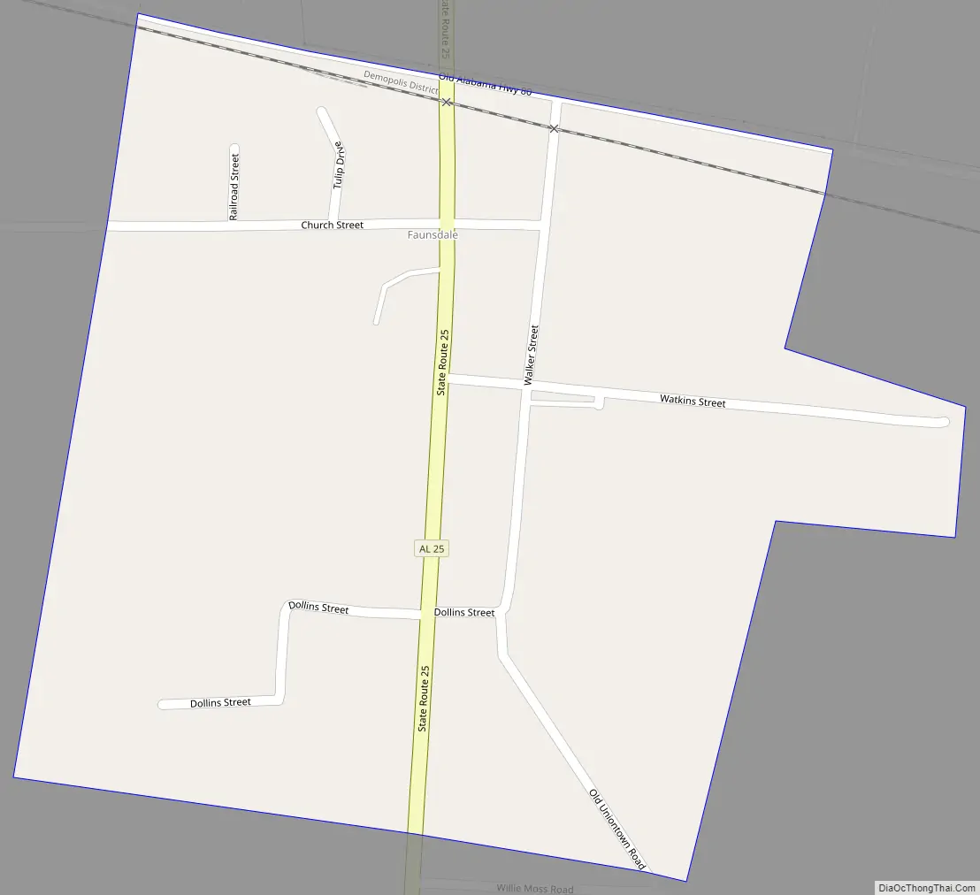
Faunsdale Road Map
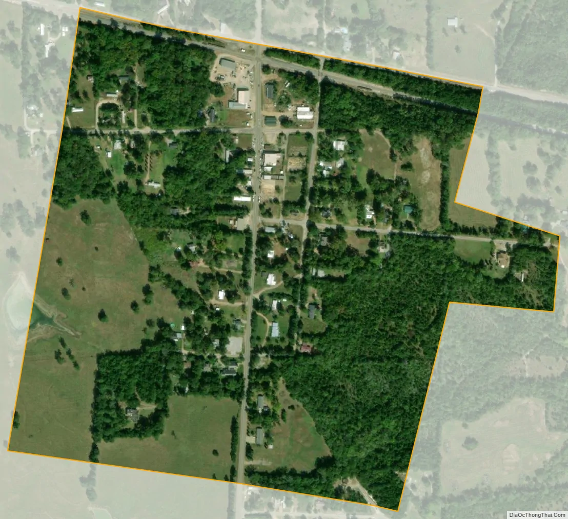
Faunsdale city Satellite Map
Geography
Faunsdale is located at 32°27′33″N 87°35′36″W / 32.45917°N 87.59333°W / 32.45917; -87.59333. According to the U.S. Census Bureau, the town has a total area of 0.2 square miles (0.52 km), all land. The elevation is 220 feet (67 m).
See also
Map of Alabama State and its subdivision:- Autauga
- Baldwin
- Barbour
- Bibb
- Blount
- Bullock
- Butler
- Calhoun
- Chambers
- Cherokee
- Chilton
- Choctaw
- Clarke
- Clay
- Cleburne
- Coffee
- Colbert
- Conecuh
- Coosa
- Covington
- Crenshaw
- Cullman
- Dale
- Dallas
- De Kalb
- Elmore
- Escambia
- Etowah
- Fayette
- Franklin
- Geneva
- Greene
- Hale
- Henry
- Houston
- Jackson
- Jefferson
- Lamar
- Lauderdale
- Lawrence
- Lee
- Limestone
- Lowndes
- Macon
- Madison
- Marengo
- Marion
- Marshall
- Mobile
- Monroe
- Montgomery
- Morgan
- Perry
- Pickens
- Pike
- Randolph
- Russell
- Saint Clair
- Shelby
- Sumter
- Talladega
- Tallapoosa
- Tuscaloosa
- Walker
- Washington
- Wilcox
- Winston
- Alabama
- Alaska
- Arizona
- Arkansas
- California
- Colorado
- Connecticut
- Delaware
- District of Columbia
- Florida
- Georgia
- Hawaii
- Idaho
- Illinois
- Indiana
- Iowa
- Kansas
- Kentucky
- Louisiana
- Maine
- Maryland
- Massachusetts
- Michigan
- Minnesota
- Mississippi
- Missouri
- Montana
- Nebraska
- Nevada
- New Hampshire
- New Jersey
- New Mexico
- New York
- North Carolina
- North Dakota
- Ohio
- Oklahoma
- Oregon
- Pennsylvania
- Rhode Island
- South Carolina
- South Dakota
- Tennessee
- Texas
- Utah
- Vermont
- Virginia
- Washington
- West Virginia
- Wisconsin
- Wyoming