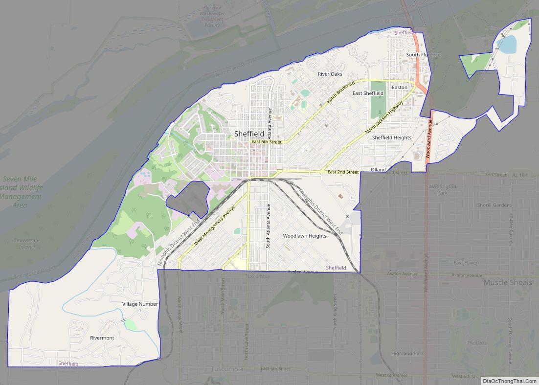
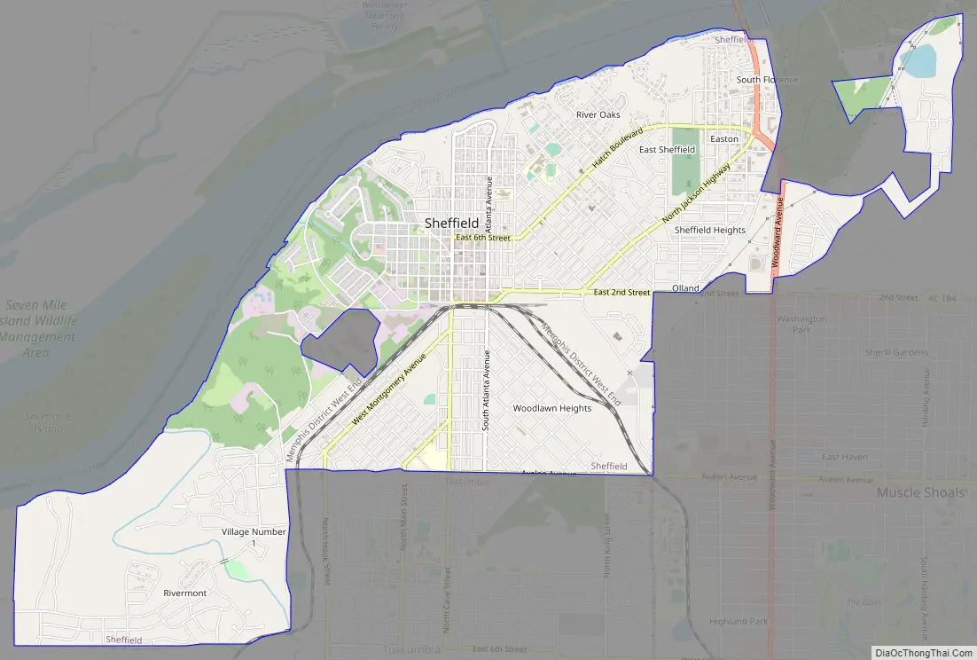
Sheffield is a city in Colbert County, Alabama, United States, and is included in the Florence-Shoals metropolitan area. As of the 2010 census, the population of the city was 9,039. Sheffield is the birthplace of “country-soul pioneer” and songwriter Arthur Alexander, French horn player Willie Ruff, notable attorney, actor, former senator and presidential contender Fred Thompson, Watergate committee U.S. Senator Howell Heflin and U.S. Senator Mitch McConnell, whose father was working in nearby Athens when he was born. It sometimes is referred to as “the City of Senators” due to the births of Heflin, McConnell and Thompson within its borders. Col. Harland Sanders worked in the Sheffield depot for Southern Railway in the 1907. It is also home to the Muscle Shoals Sound Studio where many popular 20th century musicians recorded their work, including Alexander and Ruff. It is the site of historic Helen Keller Hospital, formerly known as Colbert County Hospital and originally constructed in 1921. It was changed to Helen Keller Hospital in 1979, and Keller’s birthplace Ivy Green is located less than one mile southwest of the hospital in adjacent Tuscumbia.
| Name: | Sheffield city |
|---|---|
| LSAD Code: | 25 |
| LSAD Description: | city (suffix) |
| State: | Alabama |
| County: | Colbert County |
| Elevation: | 489 ft (149 m) |
| Total Area: | 7.07 sq mi (18.32 km²) |
| Land Area: | 6.95 sq mi (18.01 km²) |
| Water Area: | 0.12 sq mi (0.31 km²) |
| Total Population: | 9,403 |
| Population Density: | 1,352.37/sq mi (522.16/km²) |
| ZIP code: | 35660 |
| FIPS code: | 0169648 |
| GNISfeature ID: | 2405452 |
| Website: | sheffieldalabama.org |
Online Interactive Map
Click on ![]() to view map in "full screen" mode.
to view map in "full screen" mode.
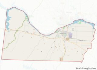
Sheffield location map. Where is Sheffield city?


Sheffield Road Map
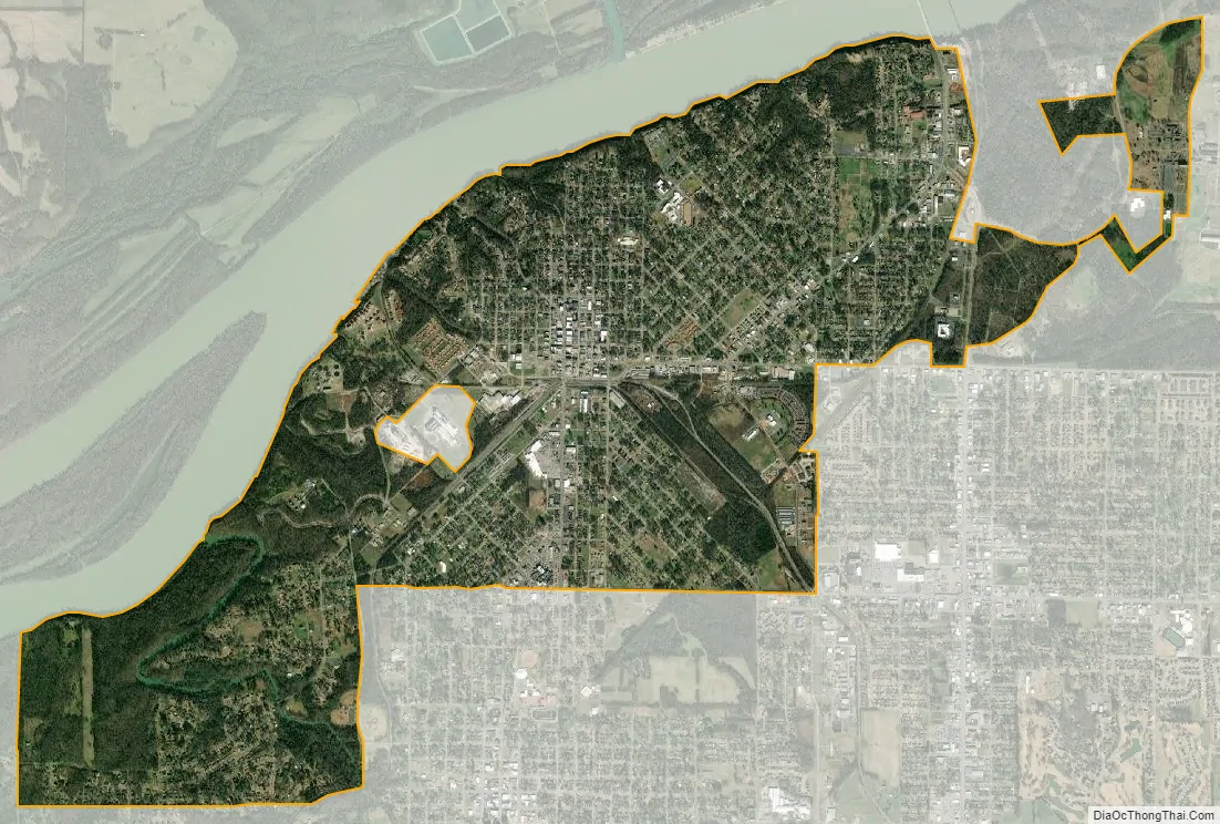
Sheffield city Satellite Map
Geography
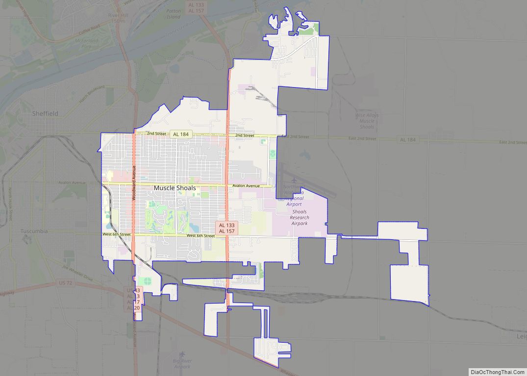
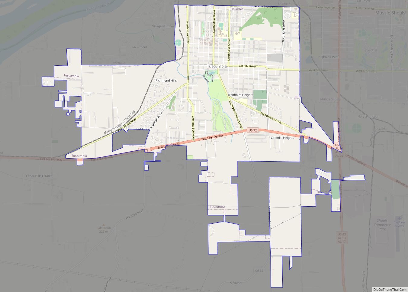
Sheffield is located in eastern Colbert County at 34°45′35″N 87°41′41″W / 34.75972°N 87.69472°W / 34.75972; -87.69472 (34.759721, -87.694592), on the south bank of the Tennessee River. Sheffield is bordered to the south by the city of Tuscumbia, to the southeast by Muscle Shoals, and to the north, across the river, by Florence.
According to the U.S. Census Bureau, the city has a total area of 6.4 square miles (16.7 km), of which 6.4 square miles (16.5 km) is land and 0.08 square miles (0.2 km), or 1.39%, is water.
Sheffield was one of the Colbert County sites of embarkation by riverboat and barge on the Tennessee River during the forced relocation of Eastern and Southern United States Indian tribes, known as the Trail of Tears. The embarkation site was at what is now the Spring Creek boat launch and park area.
Sheffield is also home to the oldest bridge site in the state of Alabama. What is today known as the “Old Railroad Bridge,” is actually a bridge site that dates back to the early 1800s.
See also
Map of Alabama State and its subdivision:- Autauga
- Baldwin
- Barbour
- Bibb
- Blount
- Bullock
- Butler
- Calhoun
- Chambers
- Cherokee
- Chilton
- Choctaw
- Clarke
- Clay
- Cleburne
- Coffee
- Colbert
- Conecuh
- Coosa
- Covington
- Crenshaw
- Cullman
- Dale
- Dallas
- De Kalb
- Elmore
- Escambia
- Etowah
- Fayette
- Franklin
- Geneva
- Greene
- Hale
- Henry
- Houston
- Jackson
- Jefferson
- Lamar
- Lauderdale
- Lawrence
- Lee
- Limestone
- Lowndes
- Macon
- Madison
- Marengo
- Marion
- Marshall
- Mobile
- Monroe
- Montgomery
- Morgan
- Perry
- Pickens
- Pike
- Randolph
- Russell
- Saint Clair
- Shelby
- Sumter
- Talladega
- Tallapoosa
- Tuscaloosa
- Walker
- Washington
- Wilcox
- Winston
- Alabama
- Alaska
- Arizona
- Arkansas
- California
- Colorado
- Connecticut
- Delaware
- District of Columbia
- Florida
- Georgia
- Hawaii
- Idaho
- Illinois
- Indiana
- Iowa
- Kansas
- Kentucky
- Louisiana
- Maine
- Maryland
- Massachusetts
- Michigan
- Minnesota
- Mississippi
- Missouri
- Montana
- Nebraska
- Nevada
- New Hampshire
- New Jersey
- New Mexico
- New York
- North Carolina
- North Dakota
- Ohio
- Oklahoma
- Oregon
- Pennsylvania
- Rhode Island
- South Carolina
- South Dakota
- Tennessee
- Texas
- Utah
- Vermont
- Virginia
- Washington
- West Virginia
- Wisconsin
- Wyoming