Fort Deposit is a town in Lowndes County, Alabama, United States. Since 1890, it has been the largest town in Lowndes County. At the 2010 census the population was 1,344, up from 1,270 in 2000. It is part of the Montgomery Metropolitan Statistical Area.
This town is named after a fort that was built under the order of General Andrew Jackson. This was a supply fort that was built to serve the soldiers during the Creek Indian War. There is an annual arts and crafts fair called Calico Fort on the second weekend of April every year.
It was incorporated on February 13, 1891. It reportedly sits on the highest point of land between Montgomery and New Orleans, Louisiana.
| Name: | Fort Deposit town |
|---|---|
| LSAD Code: | 43 |
| LSAD Description: | town (suffix) |
| State: | Alabama |
| County: | Lowndes County |
| Elevation: | 466 ft (142 m) |
| Total Area: | 5.66 sq mi (14.66 km²) |
| Land Area: | 5.66 sq mi (14.66 km²) |
| Water Area: | 0.00 sq mi (0.00 km²) |
| Total Population: | 1,225 |
| Population Density: | 216.39/sq mi (83.54/km²) |
| ZIP code: | 36032 |
| Area code: | 334 |
| FIPS code: | 0127520 |
| GNISfeature ID: | 0118518 |
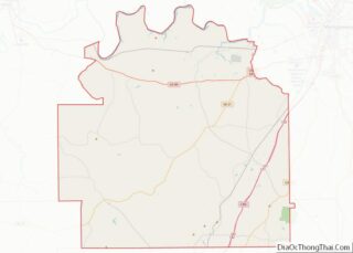
Online Interactive Map
Click on ![]() to view map in "full screen" mode.
to view map in "full screen" mode.
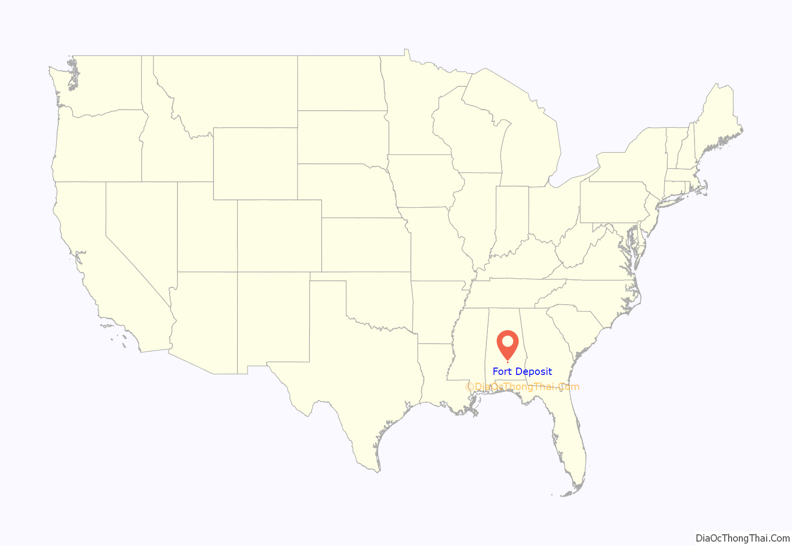
Fort Deposit location map. Where is Fort Deposit town?
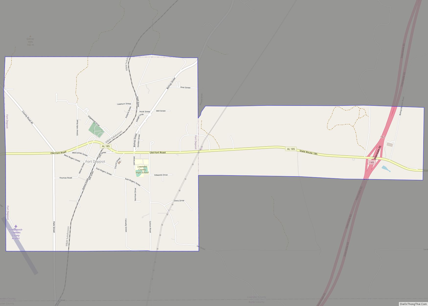
Fort Deposit Road Map
Fort Deposit city Satellite Map
Geography
Fort Deposit is located at 31°59′16″N 86°34′16″W / 31.98778°N 86.57111°W / 31.98778; -86.57111 (31.987872, -86.571249).
According to the U.S. Census Bureau, the town has a total area of 5.6 square miles (15 km), all land.
Climate
According to the Köppen climate classification, Fort Deposit has a humid subtropical climate (abbreviated Cfa).
See also
Map of Alabama State and its subdivision:- Autauga
- Baldwin
- Barbour
- Bibb
- Blount
- Bullock
- Butler
- Calhoun
- Chambers
- Cherokee
- Chilton
- Choctaw
- Clarke
- Clay
- Cleburne
- Coffee
- Colbert
- Conecuh
- Coosa
- Covington
- Crenshaw
- Cullman
- Dale
- Dallas
- De Kalb
- Elmore
- Escambia
- Etowah
- Fayette
- Franklin
- Geneva
- Greene
- Hale
- Henry
- Houston
- Jackson
- Jefferson
- Lamar
- Lauderdale
- Lawrence
- Lee
- Limestone
- Lowndes
- Macon
- Madison
- Marengo
- Marion
- Marshall
- Mobile
- Monroe
- Montgomery
- Morgan
- Perry
- Pickens
- Pike
- Randolph
- Russell
- Saint Clair
- Shelby
- Sumter
- Talladega
- Tallapoosa
- Tuscaloosa
- Walker
- Washington
- Wilcox
- Winston
- Alabama
- Alaska
- Arizona
- Arkansas
- California
- Colorado
- Connecticut
- Delaware
- District of Columbia
- Florida
- Georgia
- Hawaii
- Idaho
- Illinois
- Indiana
- Iowa
- Kansas
- Kentucky
- Louisiana
- Maine
- Maryland
- Massachusetts
- Michigan
- Minnesota
- Mississippi
- Missouri
- Montana
- Nebraska
- Nevada
- New Hampshire
- New Jersey
- New Mexico
- New York
- North Carolina
- North Dakota
- Ohio
- Oklahoma
- Oregon
- Pennsylvania
- Rhode Island
- South Carolina
- South Dakota
- Tennessee
- Texas
- Utah
- Vermont
- Virginia
- Washington
- West Virginia
- Wisconsin
- Wyoming
