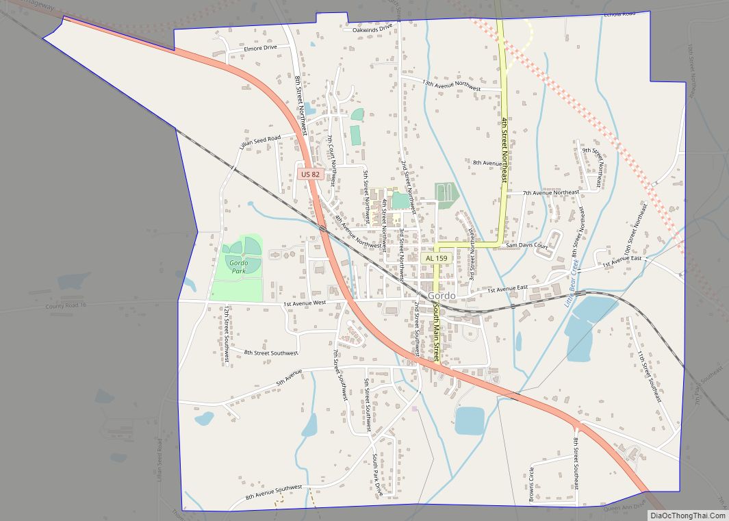
Gordo is a town in Pickens County, Alabama, United States. At the 2010 census the population was 1,750, up from 1,677 in 2000. It was the second largest town in Pickens County as of 2010, taking the title from Reform, which it previously held in 1960 and 1970. The town incorporated in 1900.
| Name: | Gordo town |
|---|---|
| LSAD Code: | 43 |
| LSAD Description: | town (suffix) |
| State: | Alabama |
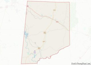
| County: | Pickens County |
| Elevation: | 282 ft (86 m) |
| Total Area: | 3.26 sq mi (8.44 km²) |
| Land Area: | 3.25 sq mi (8.42 km²) |
| Water Area: | 0.00 sq mi (0.01 km²) |
| Total Population: | 1,750 |
| Population Density: | 496.16/sq mi (191.58/km²) |
| ZIP code: | 35466 |
| Area code: | 205, 659 |
| FIPS code: | 0130736 |
| GNISfeature ID: | 0119169 |
| Website: | www.townofgordo.org |
Online Interactive Map
Click on ![]() to view map in "full screen" mode.
to view map in "full screen" mode.
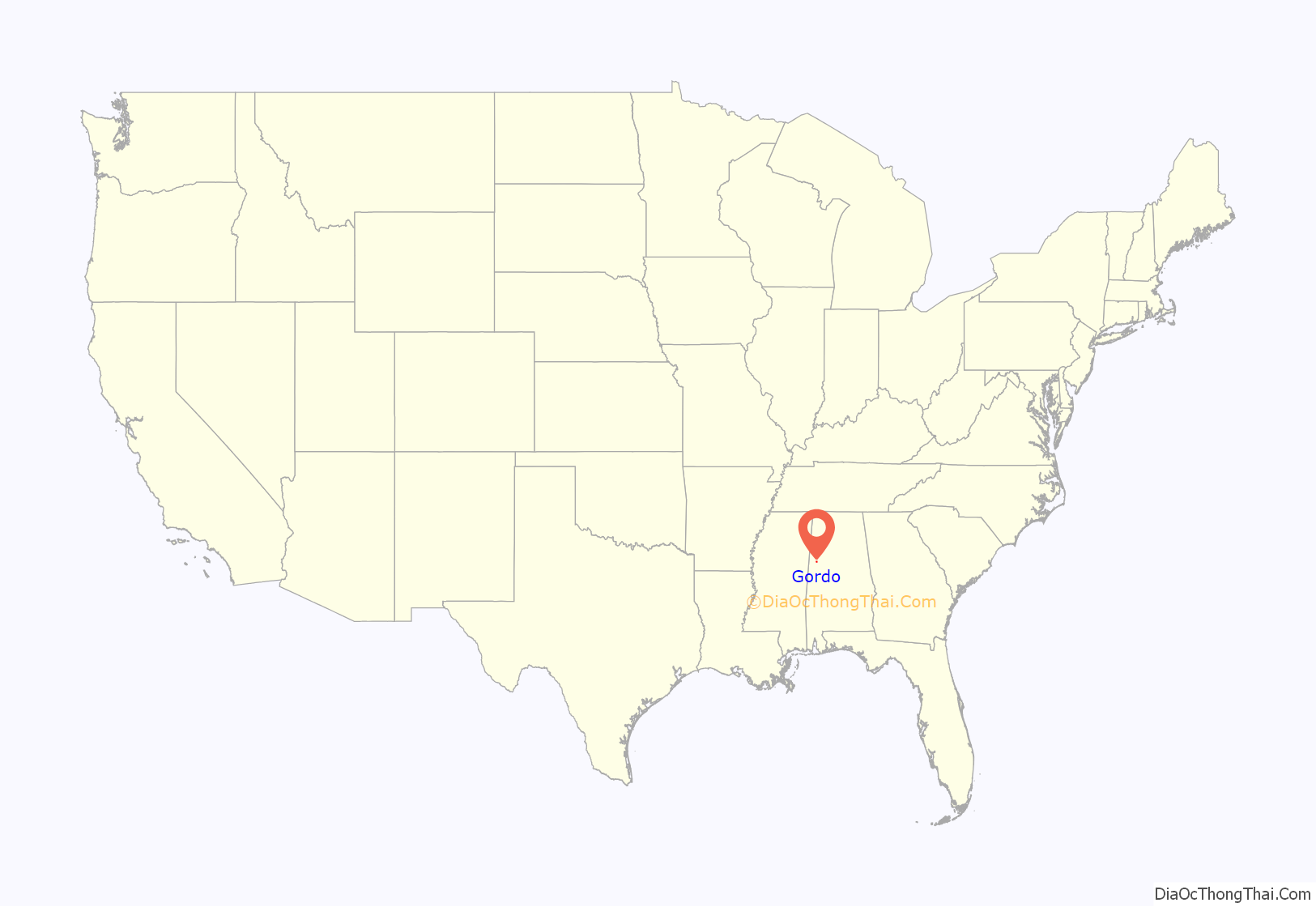
Gordo location map. Where is Gordo town?

History
A post office called Gordo has been in operation since 1847. The name of the town likely commemorates the 1847 Battle of Cerro Gordo in the Mexican–American War.
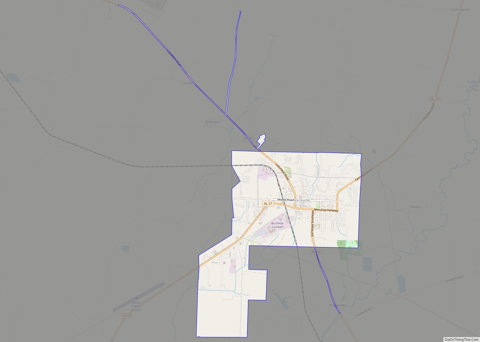
Gordo Road Map
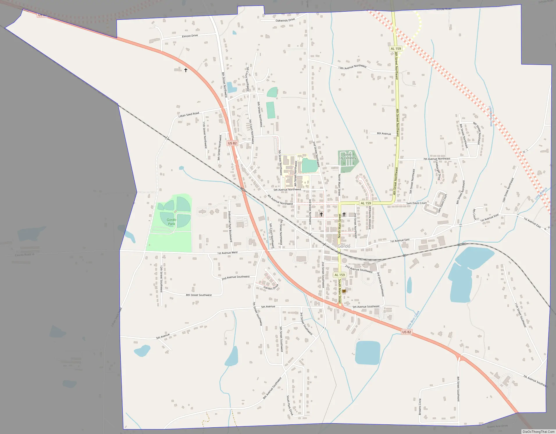
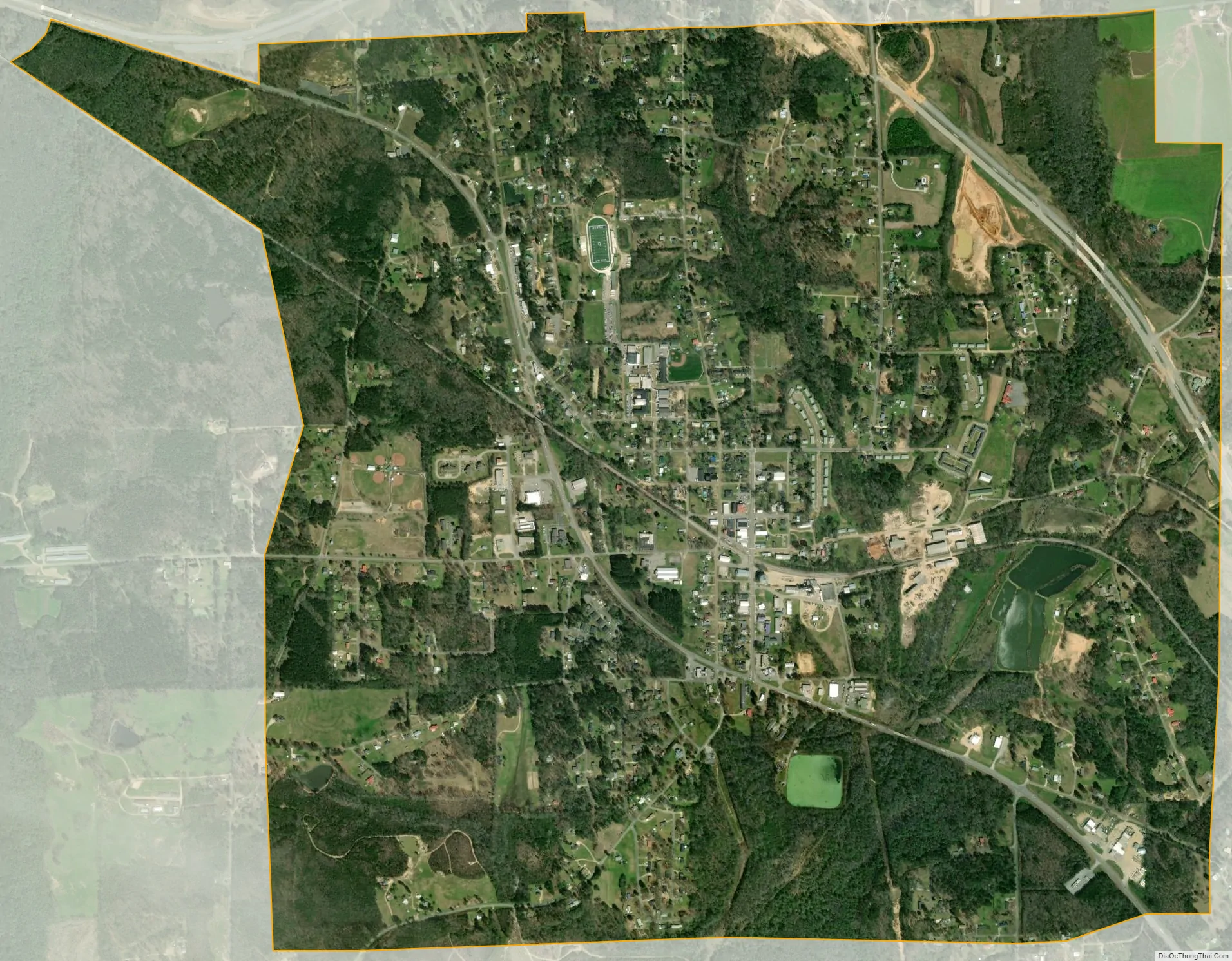
Gordo city Satellite Map
Geography
Gordo is located at 33°19′17″N 87°54′13″W / 33.32139°N 87.90361°W / 33.32139; -87.90361 (33.321461, -87.903729).
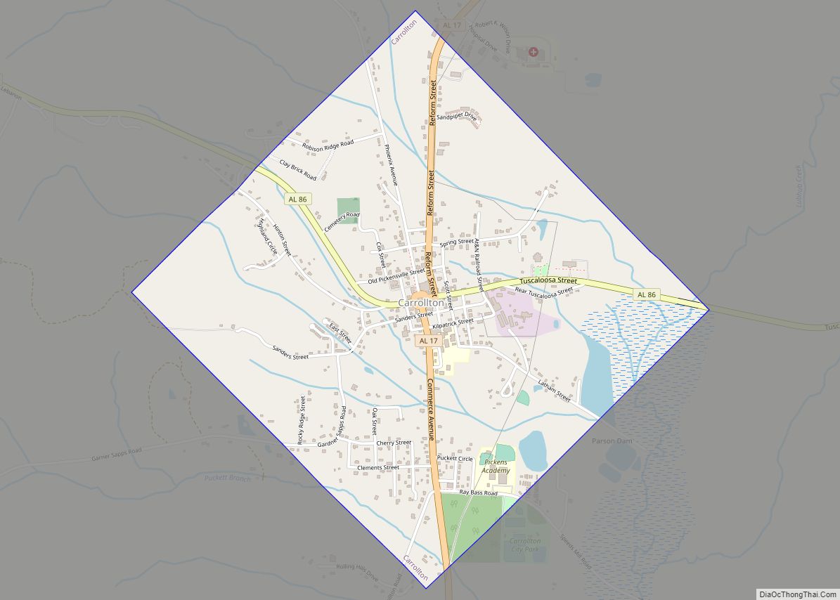
The city is located in west central Alabama along U.S. Route 82, which runs northwest to southeast through the town. It leads southeast 22 mi (35 km) to Northport and 23 mi (37 km) to Tuscaloosa. It runs northwest 8 mi (13 km) to Reform and 37 mi (60 km) to Columbus, Mississippi. Alabama State Route 86 runs west 14 mi (23 km) to Carrollton, the Pickens county seat. Alabama State Route 159 runs north 31 mi (50 km) to Fayette.
According to the U.S. Census Bureau, the town has a total area of 3.2 square miles (8.3 km), of which 3.2 square miles (8.3 km) is land and 0.31% is water.
See also
Map of Alabama State and its subdivision:- Autauga
- Baldwin
- Barbour
- Bibb
- Blount
- Bullock
- Butler
- Calhoun
- Chambers
- Cherokee
- Chilton
- Choctaw
- Clarke
- Clay
- Cleburne
- Coffee
- Colbert
- Conecuh
- Coosa
- Covington
- Crenshaw
- Cullman
- Dale
- Dallas
- De Kalb
- Elmore
- Escambia
- Etowah
- Fayette
- Franklin
- Geneva
- Greene
- Hale
- Henry
- Houston
- Jackson
- Jefferson
- Lamar
- Lauderdale
- Lawrence
- Lee
- Limestone
- Lowndes
- Macon
- Madison
- Marengo
- Marion
- Marshall
- Mobile
- Monroe
- Montgomery
- Morgan
- Perry
- Pickens
- Pike
- Randolph
- Russell
- Saint Clair
- Shelby
- Sumter
- Talladega
- Tallapoosa
- Tuscaloosa
- Walker
- Washington
- Wilcox
- Winston
- Alabama
- Alaska
- Arizona
- Arkansas
- California
- Colorado
- Connecticut
- Delaware
- District of Columbia
- Florida
- Georgia
- Hawaii
- Idaho
- Illinois
- Indiana
- Iowa
- Kansas
- Kentucky
- Louisiana
- Maine
- Maryland
- Massachusetts
- Michigan
- Minnesota
- Mississippi
- Missouri
- Montana
- Nebraska
- Nevada
- New Hampshire
- New Jersey
- New Mexico
- New York
- North Carolina
- North Dakota
- Ohio
- Oklahoma
- Oregon
- Pennsylvania
- Rhode Island
- South Carolina
- South Dakota
- Tennessee
- Texas
- Utah
- Vermont
- Virginia
- Washington
- West Virginia
- Wisconsin
- Wyoming