Reform is a city in Pickens County, Alabama, United States. At the 2010 census the population was 1,702, down from 1,978 in 2000. It is located approximately halfway between Columbus, Mississippi and Tuscaloosa on U.S. Route 82.
| Name: | Reform town |
|---|---|
| LSAD Code: | 43 |
| LSAD Description: | town (suffix) |
| State: | Alabama |
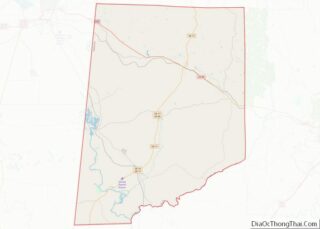
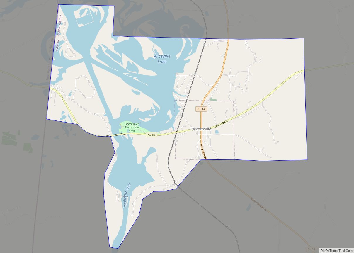
| County: | Pickens County |
| Elevation: | 240 ft (70 m) |
| Total Area: | 8.04 sq mi (20.82 km²) |
| Land Area: | 8.01 sq mi (20.74 km²) |
| Water Area: | 0.03 sq mi (0.07 km²) |
| Total Population: | 1,520 |
| Population Density: | 189.81/sq mi (73.28/km²) |
| ZIP code: | 35481 |
| Area code: | 205, 659 |
| FIPS code: | 0164104 |
| GNISfeature ID: | 0125544 |
| Website: | www.cityofreform.com |
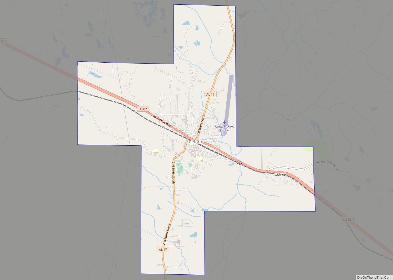
Online Interactive Map
Click on ![]() to view map in "full screen" mode.
to view map in "full screen" mode.
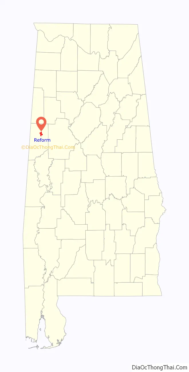
Reform location map. Where is Reform town?

History
Sparsely settled after statehood, Reform first received a post office in 1841. It wasn’t incorporated until March 2, 1898, following the community getting train service via the Mobile and Ohio Railroad. According to tradition, the community was named from an incident when an evangelist paid the new settlement a visit, imploring the first settlers to “reform”.
On January 24, 1940, Reform set the record for the highest recorded snow depth for Alabama at 22 inches (55.9 cm).
In May 1968, a mule train, part of the Southern Christian Leadership Conference sponsored Poor People’s Campaign, stopped for two days in Reform before heading to Tuscaloosa, Alabama on its way to Washington, DC.
On August 31, 2017, the area was hit by an EF2 tornado. The tornado touched down near Reform and tracked through Pickens, Lamar, and Fayette counties. Significant damage was also caused in the nearby community of Palmetto.
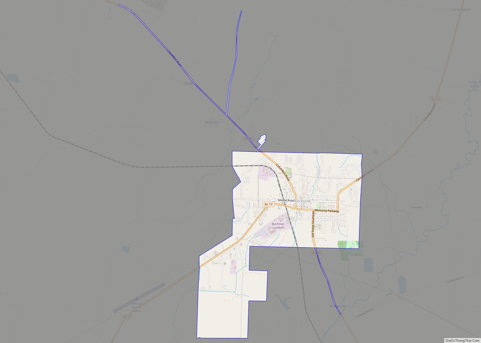
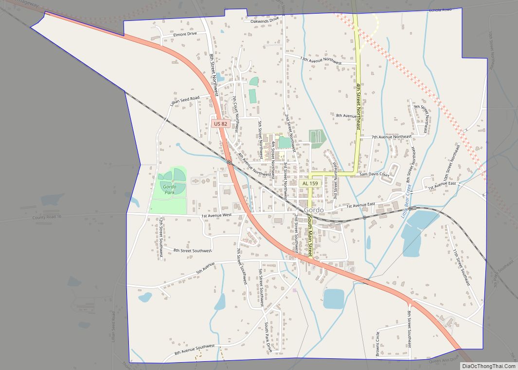
Reform Road Map

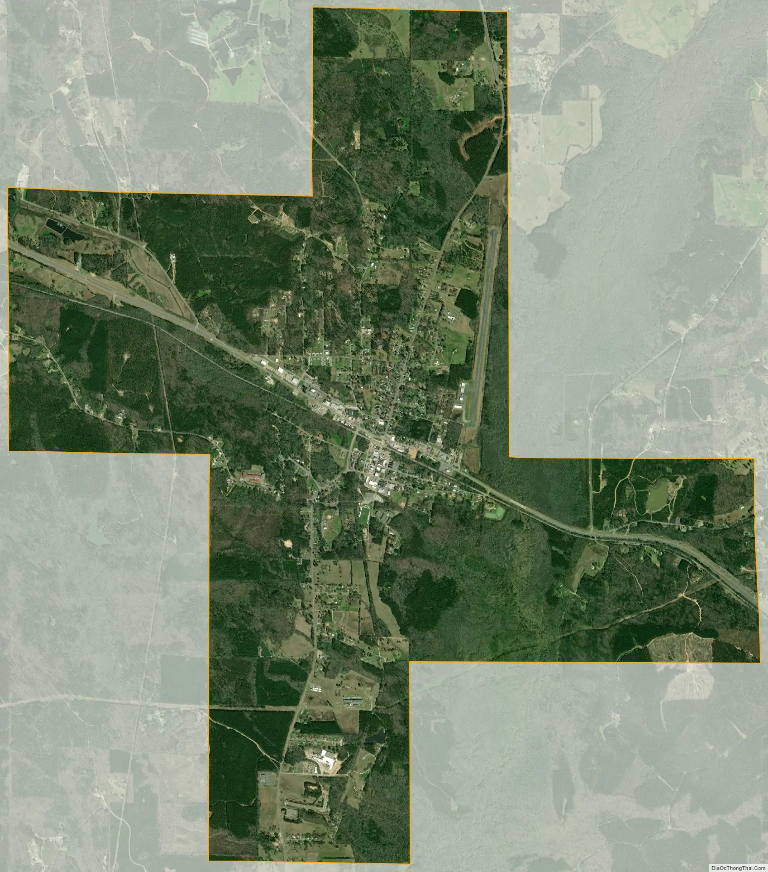
Reform city Satellite Map
Geography
Reform is located at 33°22′51″N 88°0′54″W / 33.38083°N 88.01500°W / 33.38083; -88.01500 (33.380835, -88.015022).
The city is located in west central Alabama at the intersection of U.S. Route 82 and Alabama State Route 17. US 82 runs northwest to southeast through the city, leading southeast 8 mi (13 km) to Gordo and 31 mi (50 km) to Tuscaloosa, the largest city of over 100,000 people closest to the area. Columbus, Mississippi is 29 mi (47 km) to the northwest. AL 17 runs north to south, leading north 19 mi (31 km) to Millport and south 10 mi (16 km) to Carrollton, the Pickens County seat.
According to the U.S. Census Bureau, the city has a total area of 8.1 square miles (21 km), of which 8.0 square miles (21 km) is land and 0.04 square miles (0.10 km) (0.37%) is water.
See also
Map of Alabama State and its subdivision:- Autauga
- Baldwin
- Barbour
- Bibb
- Blount
- Bullock
- Butler
- Calhoun
- Chambers
- Cherokee
- Chilton
- Choctaw
- Clarke
- Clay
- Cleburne
- Coffee
- Colbert
- Conecuh
- Coosa
- Covington
- Crenshaw
- Cullman
- Dale
- Dallas
- De Kalb
- Elmore
- Escambia
- Etowah
- Fayette
- Franklin
- Geneva
- Greene
- Hale
- Henry
- Houston
- Jackson
- Jefferson
- Lamar
- Lauderdale
- Lawrence
- Lee
- Limestone
- Lowndes
- Macon
- Madison
- Marengo
- Marion
- Marshall
- Mobile
- Monroe
- Montgomery
- Morgan
- Perry
- Pickens
- Pike
- Randolph
- Russell
- Saint Clair
- Shelby
- Sumter
- Talladega
- Tallapoosa
- Tuscaloosa
- Walker
- Washington
- Wilcox
- Winston
- Alabama
- Alaska
- Arizona
- Arkansas
- California
- Colorado
- Connecticut
- Delaware
- District of Columbia
- Florida
- Georgia
- Hawaii
- Idaho
- Illinois
- Indiana
- Iowa
- Kansas
- Kentucky
- Louisiana
- Maine
- Maryland
- Massachusetts
- Michigan
- Minnesota
- Mississippi
- Missouri
- Montana
- Nebraska
- Nevada
- New Hampshire
- New Jersey
- New Mexico
- New York
- North Carolina
- North Dakota
- Ohio
- Oklahoma
- Oregon
- Pennsylvania
- Rhode Island
- South Carolina
- South Dakota
- Tennessee
- Texas
- Utah
- Vermont
- Virginia
- Washington
- West Virginia
- Wisconsin
- Wyoming