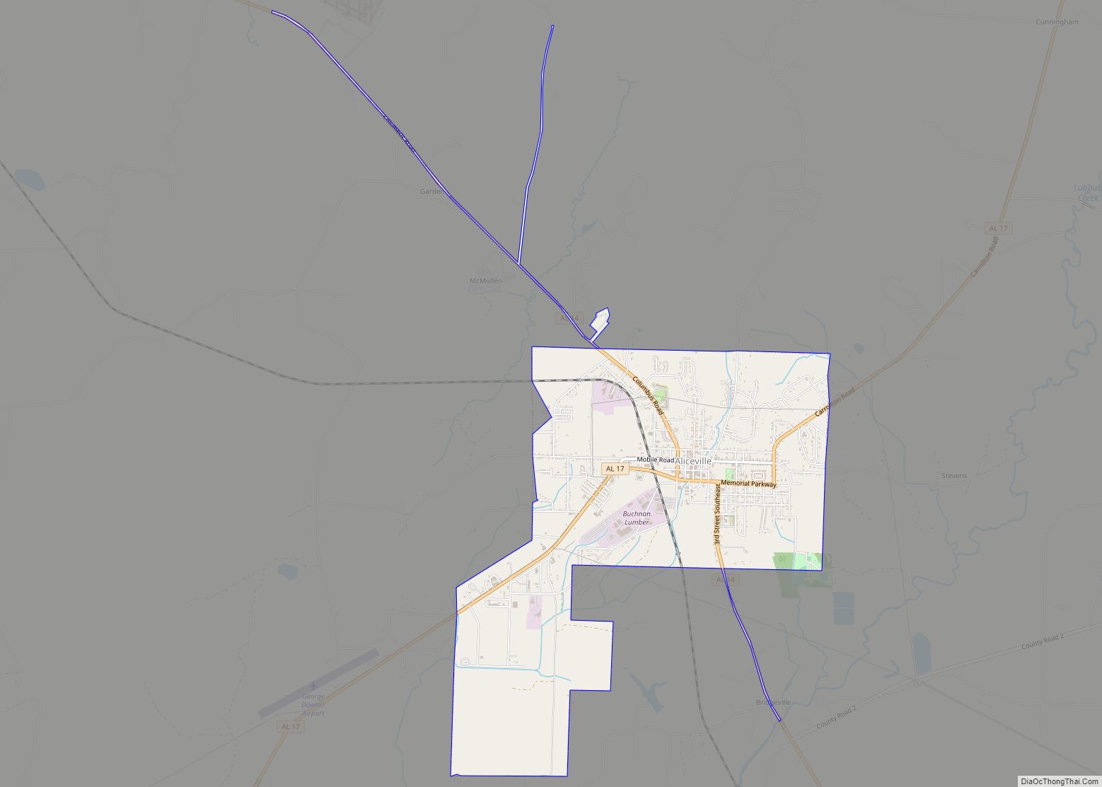
Aliceville is a city in Pickens County, Alabama, United States, located thirty-six miles west of Tuscaloosa. At the 2010 census its population was 2,486, down from 2,567 in 2000. Founded in the first decade of the 20th century and incorporated in 1907, the city has become notable for its World War II-era prisoner-of-war camp, Camp Aliceville. Since 1930, it has been the largest municipality in Pickens County.
| Name: | Aliceville city |
|---|---|
| LSAD Code: | 25 |
| LSAD Description: | city (suffix) |
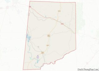
| State: | Alabama |
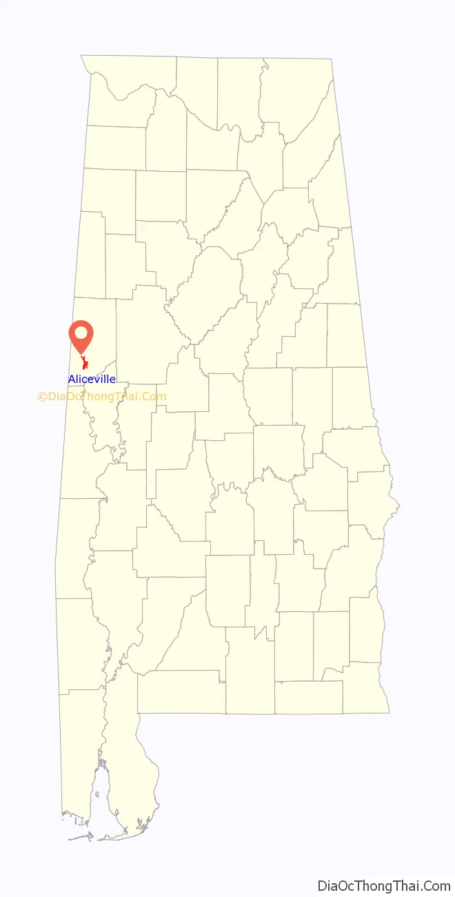
| County: | Pickens County |
| Elevation: | 194 ft (59 m) |
| Total Area: | 4.57 sq mi (11.84 km²) |
| Land Area: | 4.57 sq mi (11.84 km²) |
| Water Area: | 0.00 sq mi (0.00 km²) |
| Total Population: | 2,177 |
| Population Density: | 476.37/sq mi (183.94/km²) |
| ZIP code: | 35442 |
| FIPS code: | 0101228 |
| GNISfeature ID: | 0112988 |
| Website: | www.thecityofaliceville.com |
Online Interactive Map
Click on ![]() to view map in "full screen" mode.
to view map in "full screen" mode.
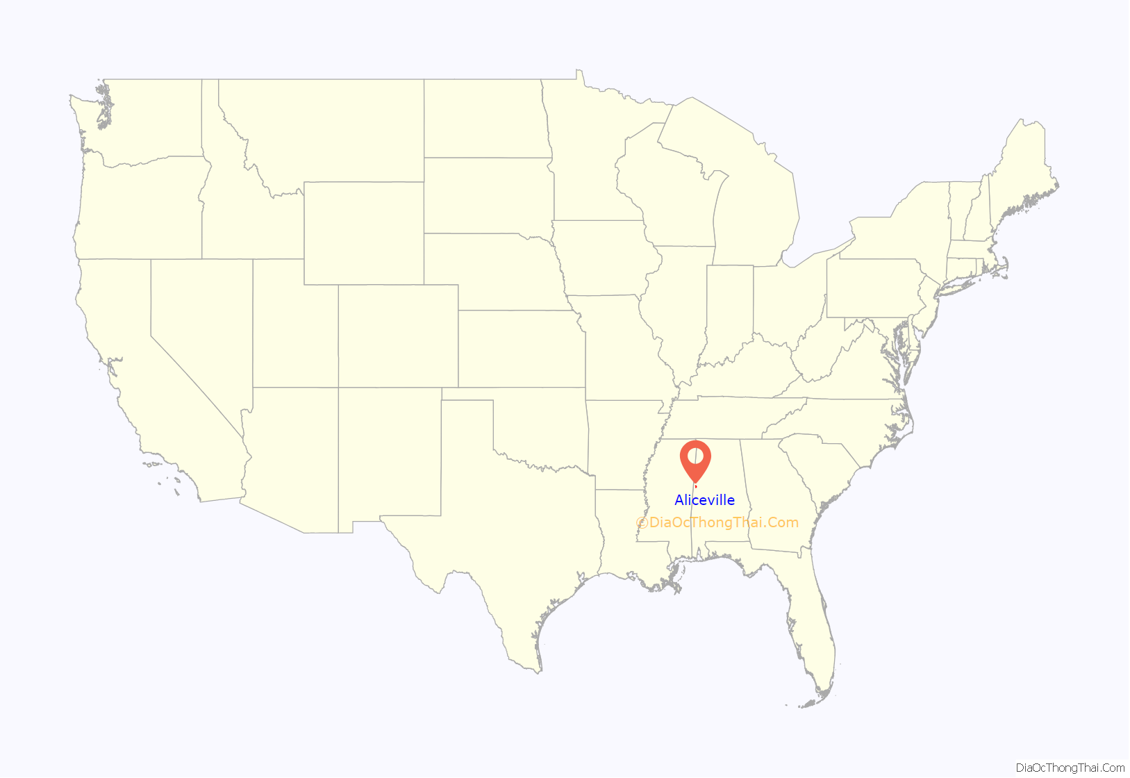
Aliceville location map. Where is Aliceville city?
History
In 1902 the settlement that would become Aliceville was founded with the opening of a single store. The city was named in honor of the wife of John T. Cochrane, founder of the Alabama, Tennessee and Northern Railroad and moving force behind the construction of the short line from Carrollton, Alabama to Aliceville. Within two years of the completion of the short line, Aliceville had grown to what the Montgomery Advertiser called in 1905 “a town of considerable pretensions. There are about a dozen stores, a bank, public buildings and numerous enterprises.”
In 1907 an election was scheduled to allow the citizens of Aliceville to decide whether their community should be incorporated. Incorporation was approved by the voters, and on March 19, 1907, a municipal election was held to choose municipal officers, including a mayor and five aldermen: T.H. Sommerville, J.M. Summerville, A. Hood, J.D. Sanders, W.E. Stringfellow, and J.B. Cunningham, respectively.
In August 1907 a black man named Gibson was lynched in Aliceville, which caused civil disturbances in the community. Rumors swirled that “the negroes were arming themselves,” and a group of blacks on horseback were fired on in the street. Gibson’s father was subsequently “ordered to leave the county on account of some impertient (sic) talk.”
By March 1908, municipal officials had decreed that all streets should have ten-foot sidewalks built on both sides. Property owners were to be responsible for building the sidewalks in front of their parcels. This work, along with the paving of the streets, was largely completed by June 1910 and the city began considering the installation of water and electricity.
Camp Aliceville
During World War II, a Prisoner-of-war camp was set up in Aliceville to hold 6,000 German prisoners, most from the Afrika Korps, although the population of the camp rarely exceeded 3,500. The camp operated between June 2, 1943 and September 30, 1945. Prisoners were brought to the camp via the St. Louis – San Francisco Railway.
The only remaining trace of the camp is an old stone chimney. However, there is a German POW collection at the Aliceville Museum and Cultural Arts Center which retains documentation from the camp including maps, photographs, camp publications, letters, and artwork.
Civil rights movement
During the civil rights movement, organizing in small communities such as Aliceville was often more dangerous for activists than it was in larger cities because of their isolation. As late as 1965, according to James Corder, a Primitive Baptist minister from Aliceville, Pickens County had not yet experienced any civil unrest related to the movement. Jordan was inspired by the Selma to Montgomery marches in March of that year to organize a civil rights group in Aliceville, which he called the “Rural Farm and Development Council” in order to avoid scrutiny. The group organized protests at the Aliceville city hall to oppose officially sanctioned racism in the city.
In September 1969 black students held protests against the principal of an all-black school in Aliceville, prompting governor Albert Brewer to send National Guard troops into the city. Two of the city’s all-black schools were closed on September 4 due to the demonstrations, and they reopened the next day under National Guard supervision.
In 1982, Aliceville native Maggie Bozeman testified at Congressional hearings held in Montgomery, Alabama, concerning proposed amendments to the Voting Rights Act of 1965. She testified that as late as 1980 in Aliceville and Pickens County voting took place in the open rather than in private booths and that white police officers were stationed in polling places, taking photographs of people who assisted black voters. This revelation outraged Republican congressman Henry Hyde, who had previously been unconvinced of the necessity of amending the law.
Bozeman’s testimony followed her 1979 arrest, conviction, and sentencing for vote fraud. Bozeman and fellow political activist Julia Wilder of Olney, Alabama were given “the sternest sentences for a vote fraud conviction in recent Alabama history”: five years for Wilder and four for Bozeman. The sentences were upheld on appeal, prompting the formation of an organization, the National Coalition to Free Julia Wilder and Maggie Bozeman and Save the Voting Rights Act, and a march through Aliceville from Carrollton, Alabama, to Montgomery to publicize their cause.
The United States Department of Justice sent eight poll-watchers to Aliceville to observe the 1984 primary election runoffs following reports from observers of the July 1984 main primaries.
And after
In November 2013 three tanker cars carrying crude oil exploded when an Alabama and Gulf Coast Railway train derailed near Aliceville. As of March 2014, the cleanup of the spilt oil was still not complete, despite four months of work. About 750,000 gallons of Bakken crude was released.
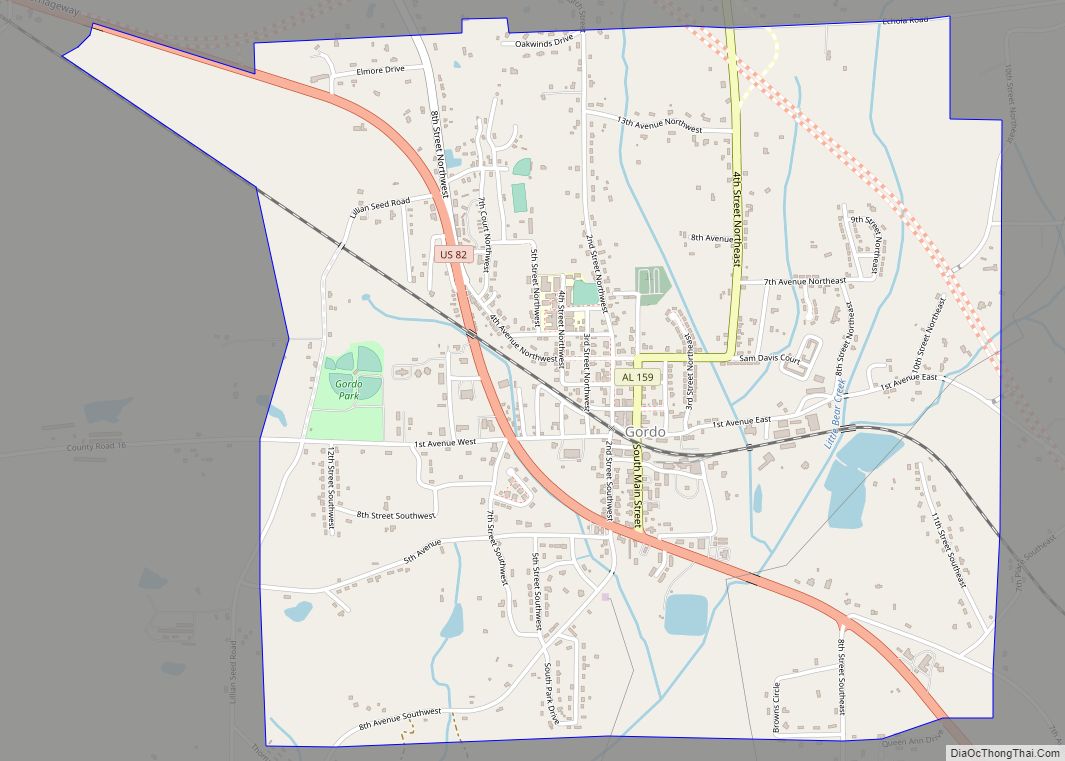
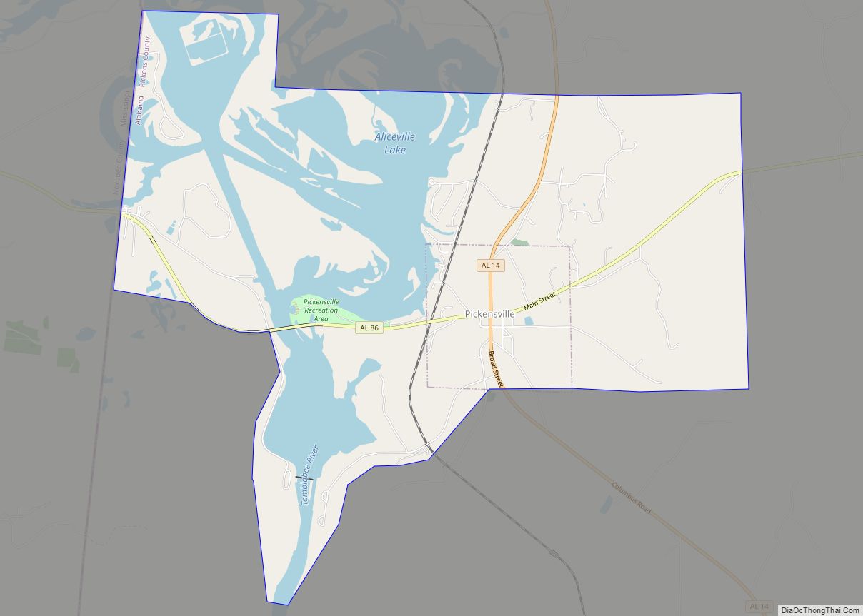
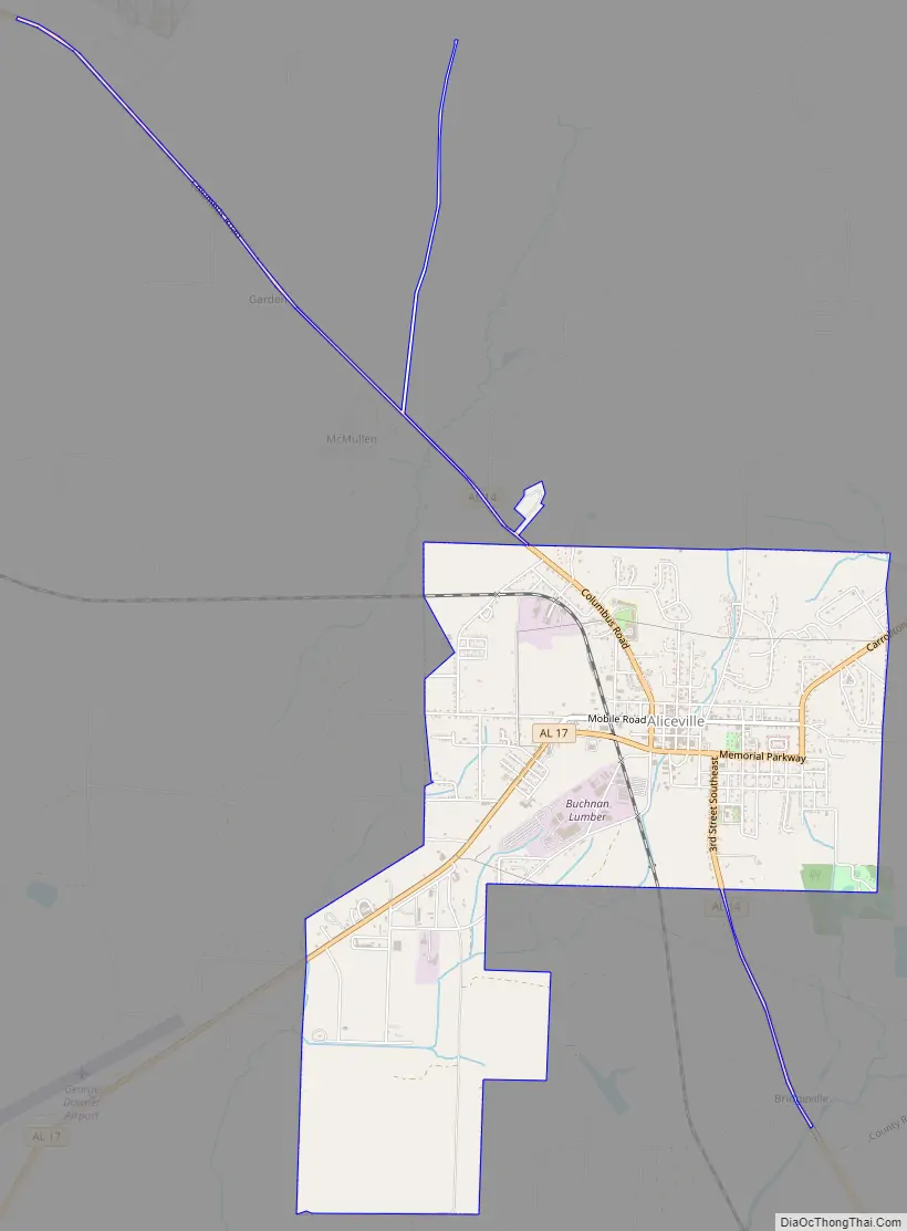
Aliceville Road Map
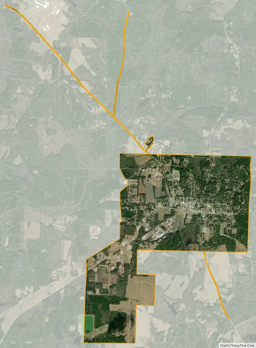
Aliceville city Satellite Map
Geography
Aliceville is located at 33°7′35″N 88°9′16″W / 33.12639°N 88.15444°W / 33.12639; -88.15444 (33.126276, -88.154427). According to the U.S. Census Bureau, the city has a total area of 4.5 square miles (12 km), all land.
Climate
The climate in this area is characterized by hot, humid summers and generally mild to cool winters. According to the Köppen Climate Classification system, Aliceville has a humid subtropical climate, abbreviated “Cfa” on climate maps.
See also
Map of Alabama State and its subdivision:- Autauga
- Baldwin
- Barbour
- Bibb
- Blount
- Bullock
- Butler
- Calhoun
- Chambers
- Cherokee
- Chilton
- Choctaw
- Clarke
- Clay
- Cleburne
- Coffee
- Colbert
- Conecuh
- Coosa
- Covington
- Crenshaw
- Cullman
- Dale
- Dallas
- De Kalb
- Elmore
- Escambia
- Etowah
- Fayette
- Franklin
- Geneva
- Greene
- Hale
- Henry
- Houston
- Jackson
- Jefferson
- Lamar
- Lauderdale
- Lawrence
- Lee
- Limestone
- Lowndes
- Macon
- Madison
- Marengo
- Marion
- Marshall
- Mobile
- Monroe
- Montgomery
- Morgan
- Perry
- Pickens
- Pike
- Randolph
- Russell
- Saint Clair
- Shelby
- Sumter
- Talladega
- Tallapoosa
- Tuscaloosa
- Walker
- Washington
- Wilcox
- Winston
- Alabama
- Alaska
- Arizona
- Arkansas
- California
- Colorado
- Connecticut
- Delaware
- District of Columbia
- Florida
- Georgia
- Hawaii
- Idaho
- Illinois
- Indiana
- Iowa
- Kansas
- Kentucky
- Louisiana
- Maine
- Maryland
- Massachusetts
- Michigan
- Minnesota
- Mississippi
- Missouri
- Montana
- Nebraska
- Nevada
- New Hampshire
- New Jersey
- New Mexico
- New York
- North Carolina
- North Dakota
- Ohio
- Oklahoma
- Oregon
- Pennsylvania
- Rhode Island
- South Carolina
- South Dakota
- Tennessee
- Texas
- Utah
- Vermont
- Virginia
- Washington
- West Virginia
- Wisconsin
- Wyoming