Haleburg is a town in Henry County, Alabama, United States. It is part of the Dothan, Alabama Metropolitan Statistical Area. At the 2020 census, the population was 112. Established in 1885 as “Halesburgh”, the town was incorporated in September, 1911, as “Halesburg”. Since then, for reasons unknown, it has become known as the current “Haleburg”.
| Name: | Haleburg town |
|---|---|
| LSAD Code: | 43 |
| LSAD Description: | town (suffix) |
| State: | Alabama |
| County: | Henry County |
| Elevation: | 344 ft (105 m) |
| Total Area: | 3.84 sq mi (9.94 km²) |
| Land Area: | 3.84 sq mi (9.94 km²) |
| Water Area: | 0.00 sq mi (0.00 km²) |
| Total Population: | 112 |
| Population Density: | 29.18/sq mi (11.27/km²) |
| ZIP code: | 36319 |
| Area code: | 334 |
| FIPS code: | 0132656 |
| GNISfeature ID: | 0119562 |
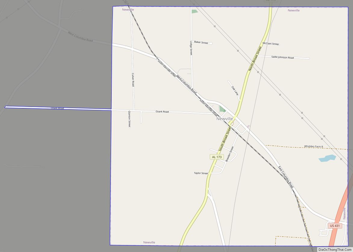
Online Interactive Map
Click on ![]() to view map in "full screen" mode.
to view map in "full screen" mode.
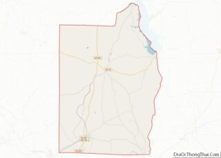
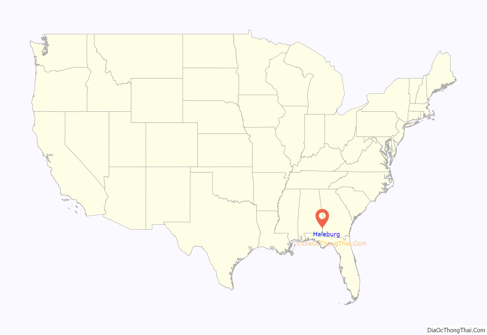
Haleburg location map. Where is Haleburg town?
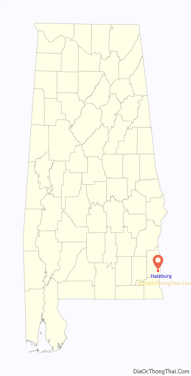
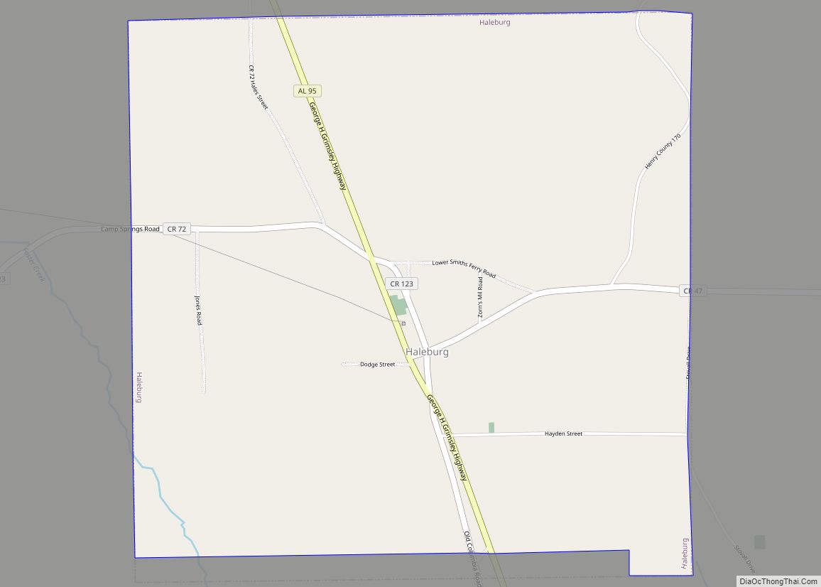
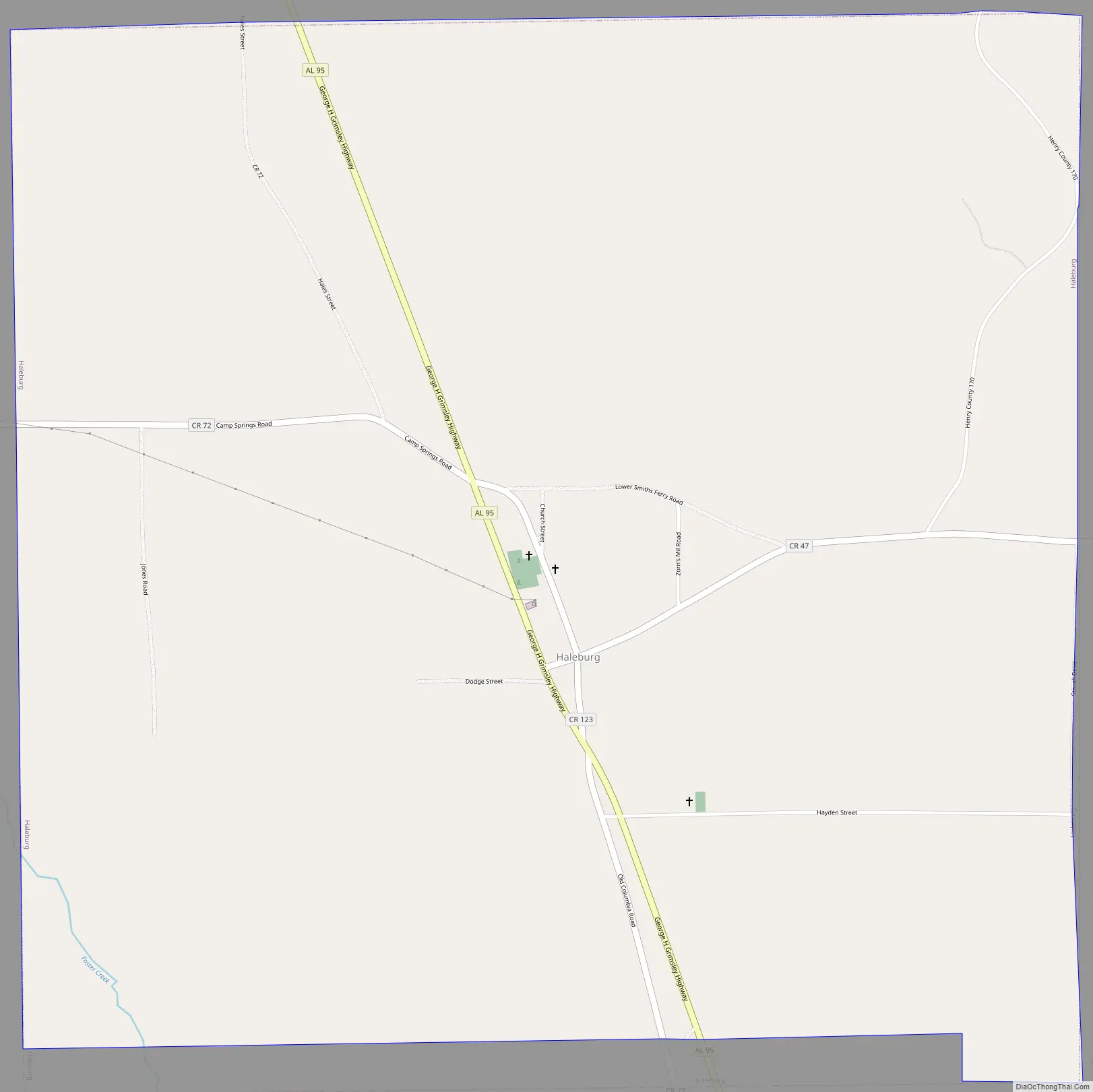
Haleburg Road Map
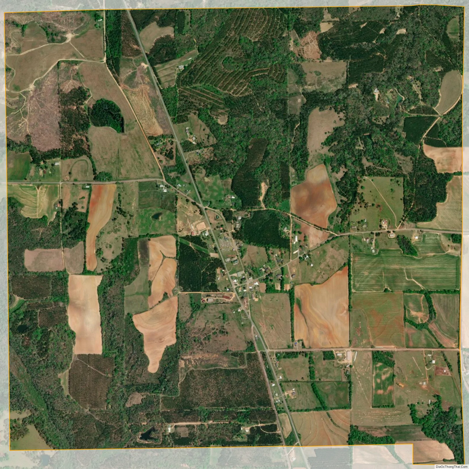
Haleburg city Satellite Map
Geography
Haleburg is located in southeastern Henry County at 31°24′32″N 85°8′10″W / 31.40889°N 85.13611°W / 31.40889; -85.13611 (31.408960, -85.136035). Alabama State Route 95 passes through the town, leading north 14 miles (23 km) to Abbeville and south 8 miles (13 km) to Columbia. Haleburg is 4 miles (6 km) west of the Chattahoochee River, which forms the Alabama–Georgia border.
According to the U.S. Census Bureau, the town has a total area of 3.8 square miles (9.9 km), all land.
See also
Map of Alabama State and its subdivision:- Autauga
- Baldwin
- Barbour
- Bibb
- Blount
- Bullock
- Butler
- Calhoun
- Chambers
- Cherokee
- Chilton
- Choctaw
- Clarke
- Clay
- Cleburne
- Coffee
- Colbert
- Conecuh
- Coosa
- Covington
- Crenshaw
- Cullman
- Dale
- Dallas
- De Kalb
- Elmore
- Escambia
- Etowah
- Fayette
- Franklin
- Geneva
- Greene
- Hale
- Henry
- Houston
- Jackson
- Jefferson
- Lamar
- Lauderdale
- Lawrence
- Lee
- Limestone
- Lowndes
- Macon
- Madison
- Marengo
- Marion
- Marshall
- Mobile
- Monroe
- Montgomery
- Morgan
- Perry
- Pickens
- Pike
- Randolph
- Russell
- Saint Clair
- Shelby
- Sumter
- Talladega
- Tallapoosa
- Tuscaloosa
- Walker
- Washington
- Wilcox
- Winston
- Alabama
- Alaska
- Arizona
- Arkansas
- California
- Colorado
- Connecticut
- Delaware
- District of Columbia
- Florida
- Georgia
- Hawaii
- Idaho
- Illinois
- Indiana
- Iowa
- Kansas
- Kentucky
- Louisiana
- Maine
- Maryland
- Massachusetts
- Michigan
- Minnesota
- Mississippi
- Missouri
- Montana
- Nebraska
- Nevada
- New Hampshire
- New Jersey
- New Mexico
- New York
- North Carolina
- North Dakota
- Ohio
- Oklahoma
- Oregon
- Pennsylvania
- Rhode Island
- South Carolina
- South Dakota
- Tennessee
- Texas
- Utah
- Vermont
- Virginia
- Washington
- West Virginia
- Wisconsin
- Wyoming