Hobson City is a town in Calhoun County, Alabama, United States. At the 2020 census, the population was 759. It is included in the Anniston-Oxford Metropolitan Statistical Area. Hobson City was Alabama’s first self-governed all-black municipality.
| Name: | Hobson City town |
|---|---|
| LSAD Code: | 43 |
| LSAD Description: | town (suffix) |
| State: | Alabama |
| County: | Calhoun County |
| Elevation: | 728 ft (222 m) |
| Total Area: | 1.05 sq mi (2.71 km²) |
| Land Area: | 1.05 sq mi (2.71 km²) |
| Water Area: | 0.00 sq mi (0.00 km²) |
| Total Population: | 759 |
| Population Density: | 725.62/sq mi (280.25/km²) |
| FIPS code: | 0135152 |
| GNISfeature ID: | 0159780 |
| Website: | http://www.townofhobsoncity.com/ |
Online Interactive Map
Click on ![]() to view map in "full screen" mode.
to view map in "full screen" mode.
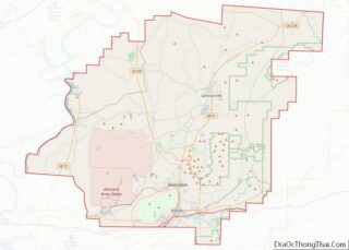
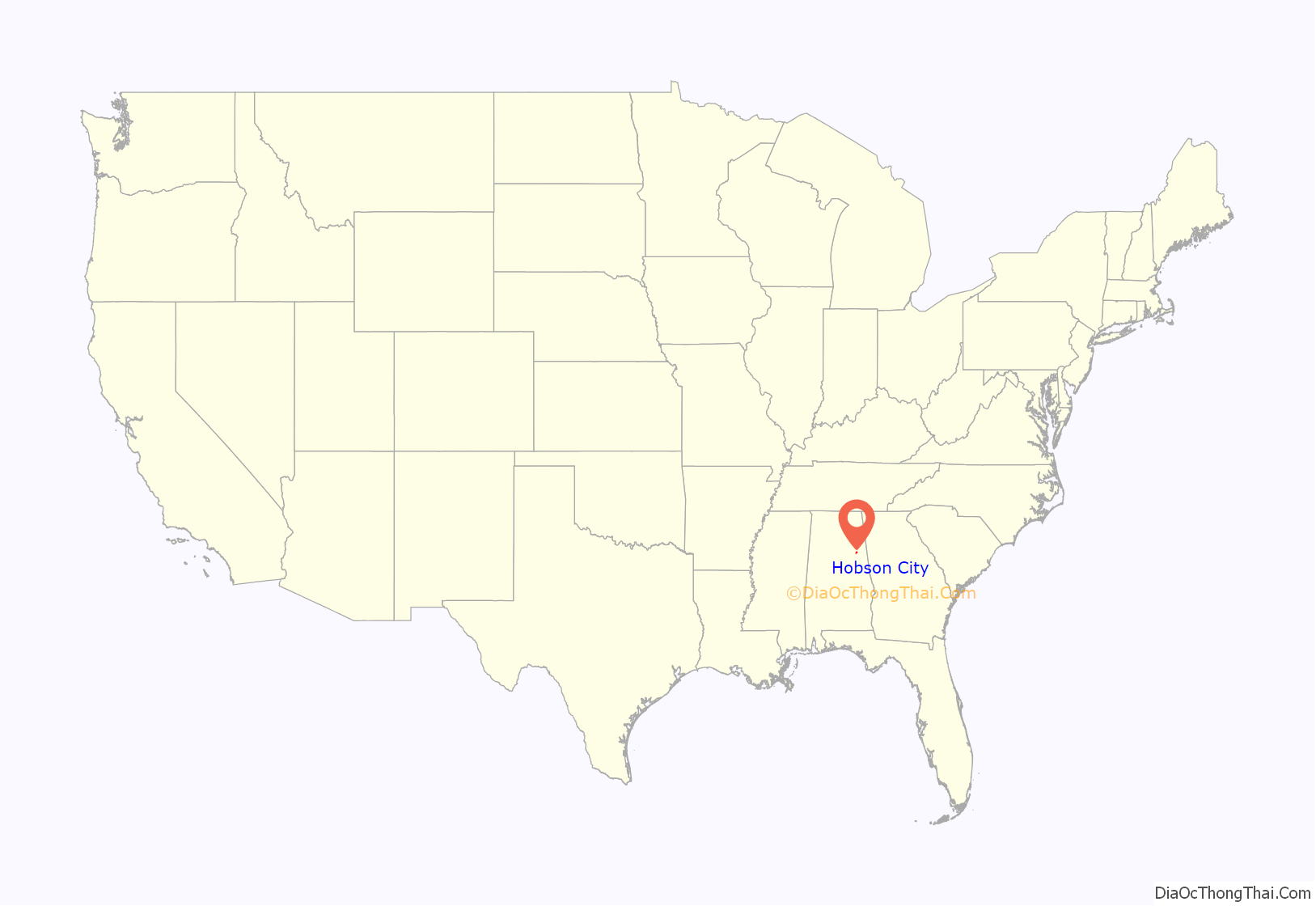
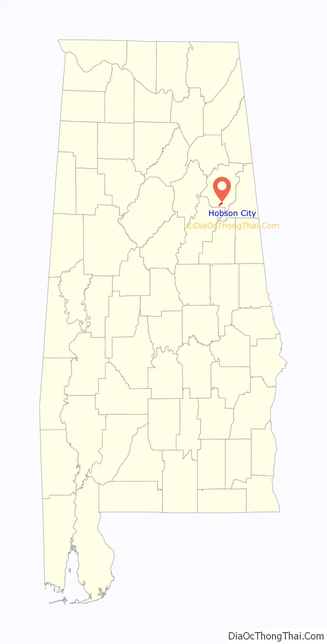
Hobson City location map. Where is Hobson City town?
History
According to Town Hall records, much of the area now included in the corporate limits of Hobson City was once within the adjoining city of Oxford, Alabama. During the late 19th century, the area was known as “Mooree Quarter”. The black vote from that area was a controlling factor during municipal elections. An account provided by an early settler of the community has been passed down through the years. In that account, a black person was elected as the Oxford justice of the peace. As a result, and in keeping with campaign promises, Mayor Whitehead of Oxford went to the state capitol and had the corporate boundaries of Oxford redrawn to exclude Mooree Quarter and the black vote.
The town was incorporated on August 16, 1899. Records from a contemporary Alabama newspaper, The Peoples’ Journal, described the municipality as “the only municipality controlled and governed entirely by colored people anywhere in the United States.” The newspaper further commented, “The whole country will doubtless be interested in the result of this experiment.” Under the leadership of the first mayor, S. L. Davis, and the first police chief, James Duran, police protection was restored to the area. The town was named after Richmond P. Hobson, a white naval hero in the then-recent Spanish-American War and member of Congress. Newman O’Neal was the mayor in 1919 until he faced death threats and was assaulted by the Ku Klux Klan forcing him to flee the city.
The mayor in 1970, J. R. Striplin, was its thirteenth black mayor in succession. The town has buildings listed on the National Register of Historic Places. During November 2008, Alberta C. McCrory was sworn in as the 2008–2012 mayor.
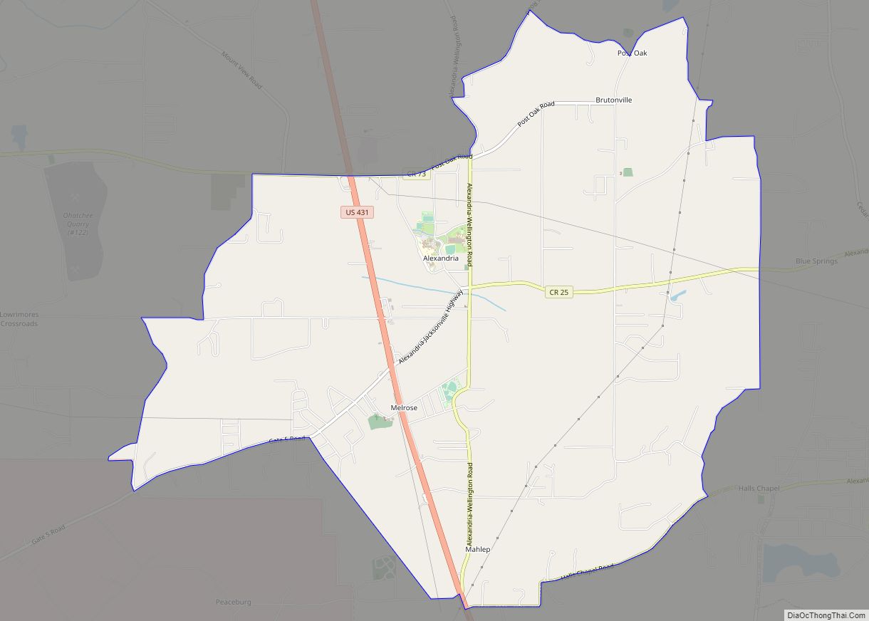
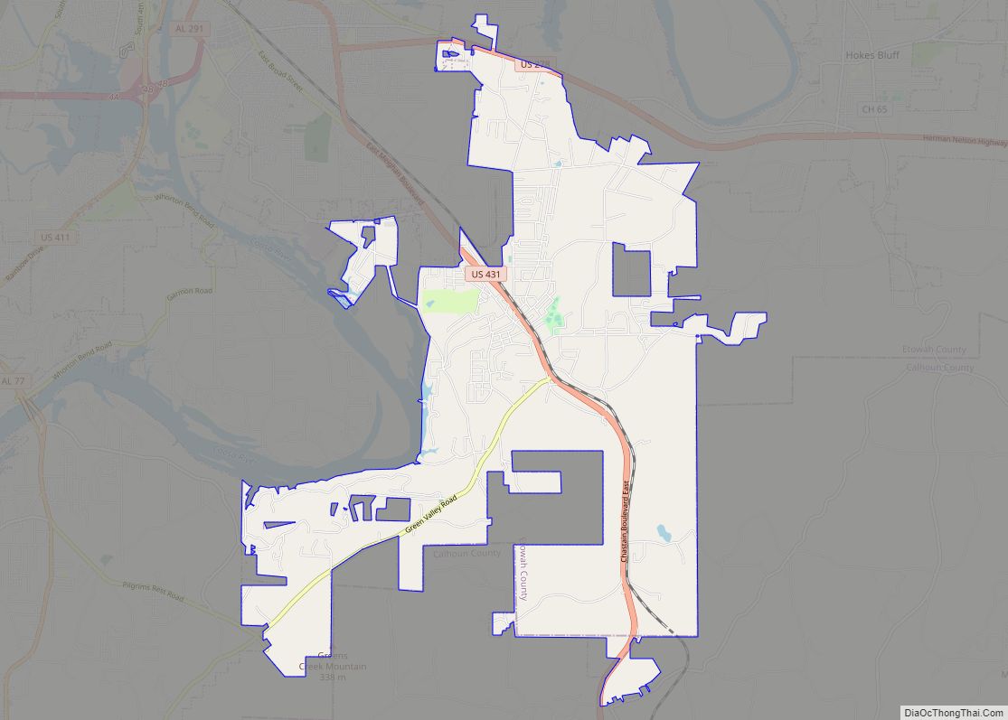
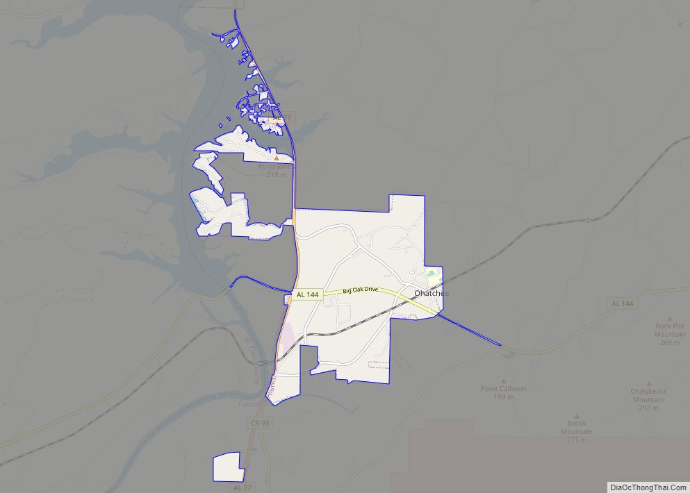
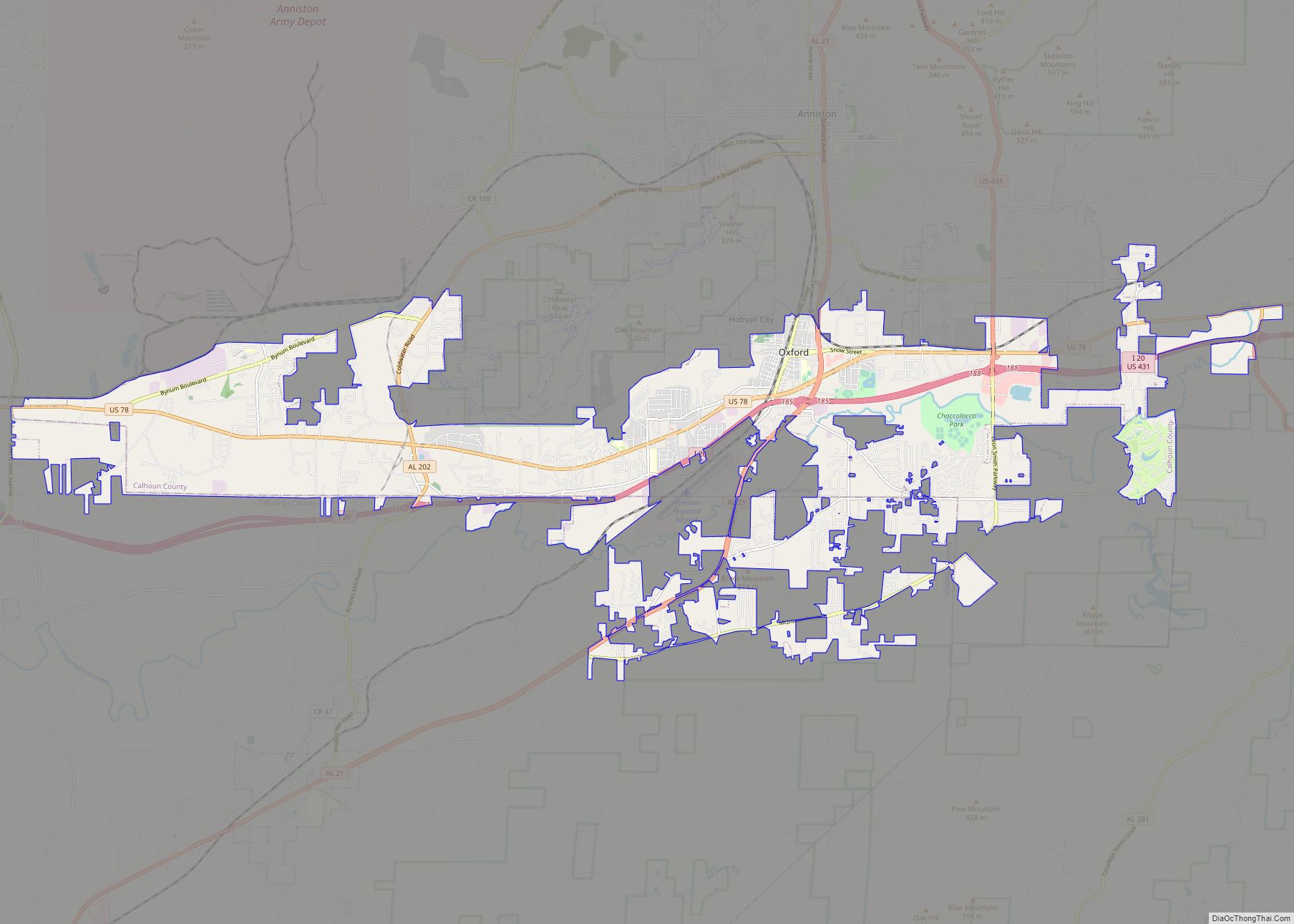
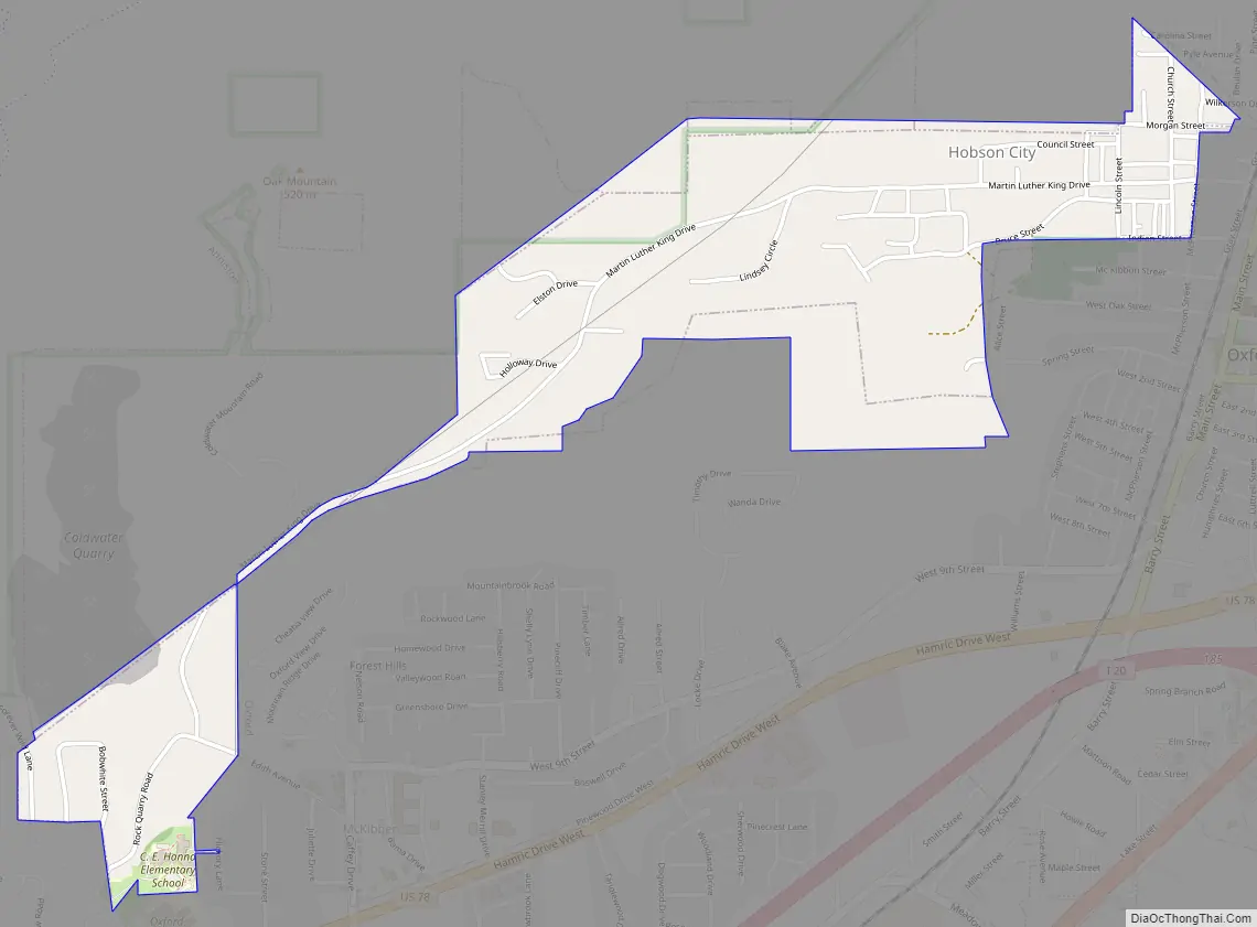
Hobson City Road Map
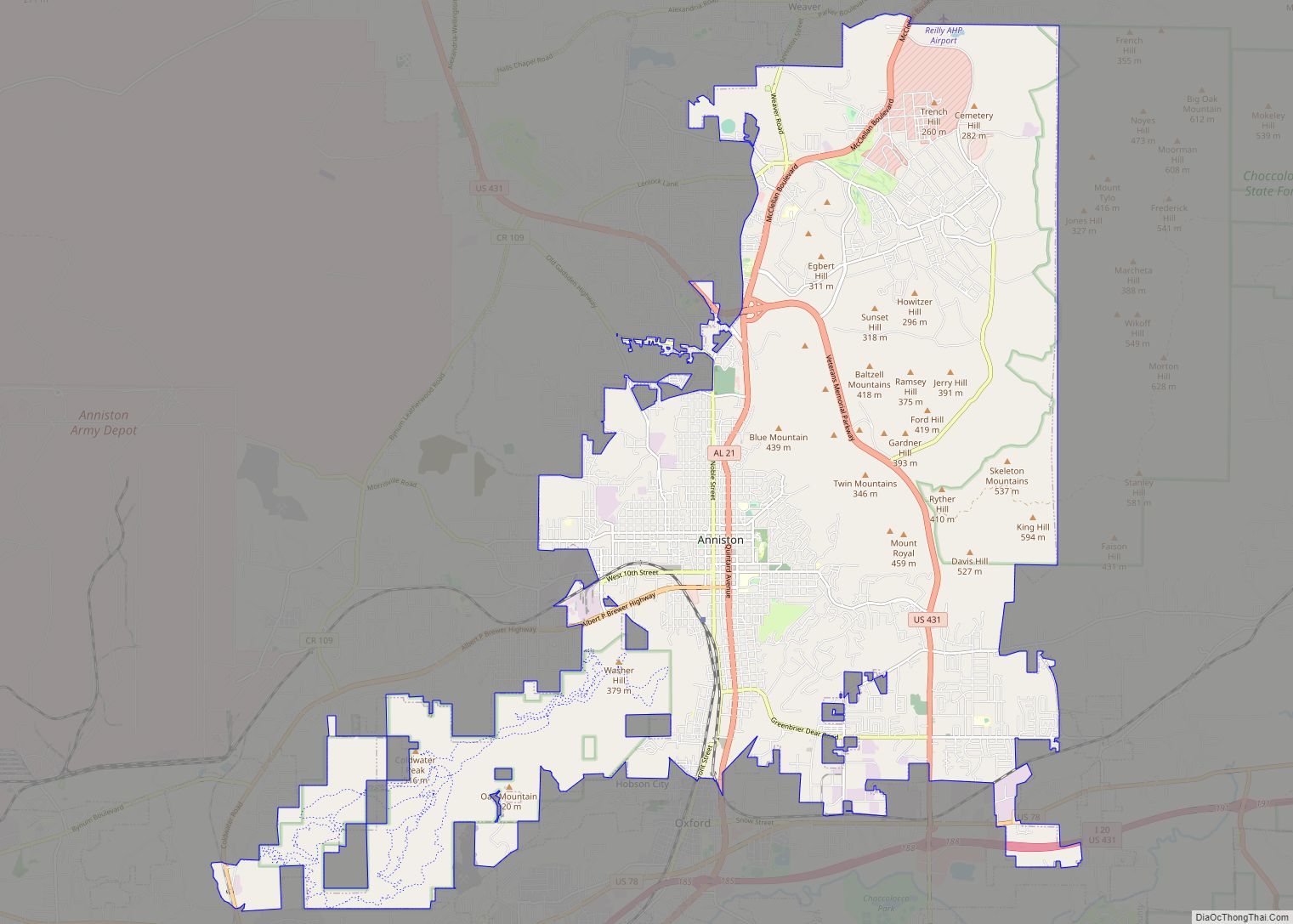
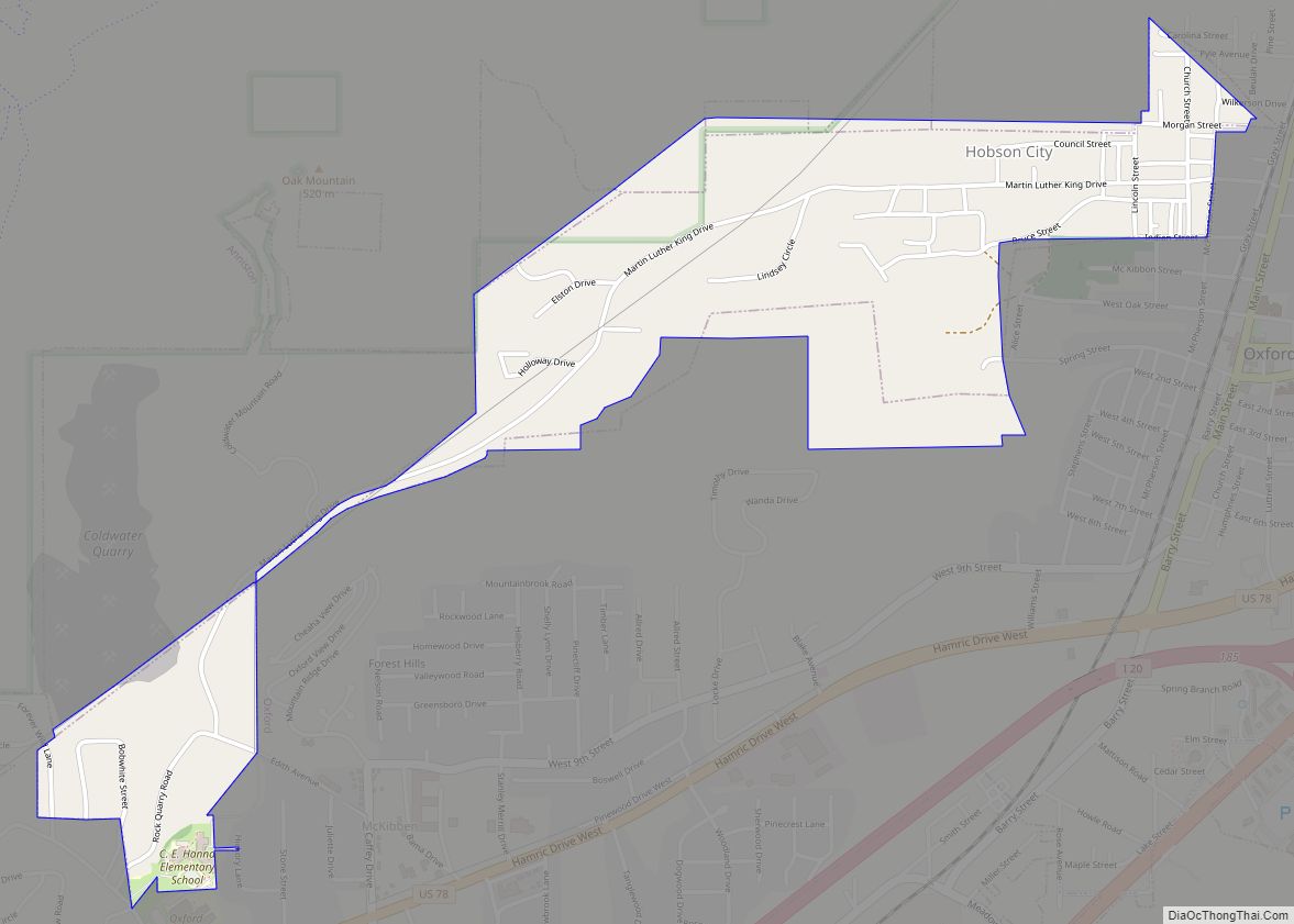
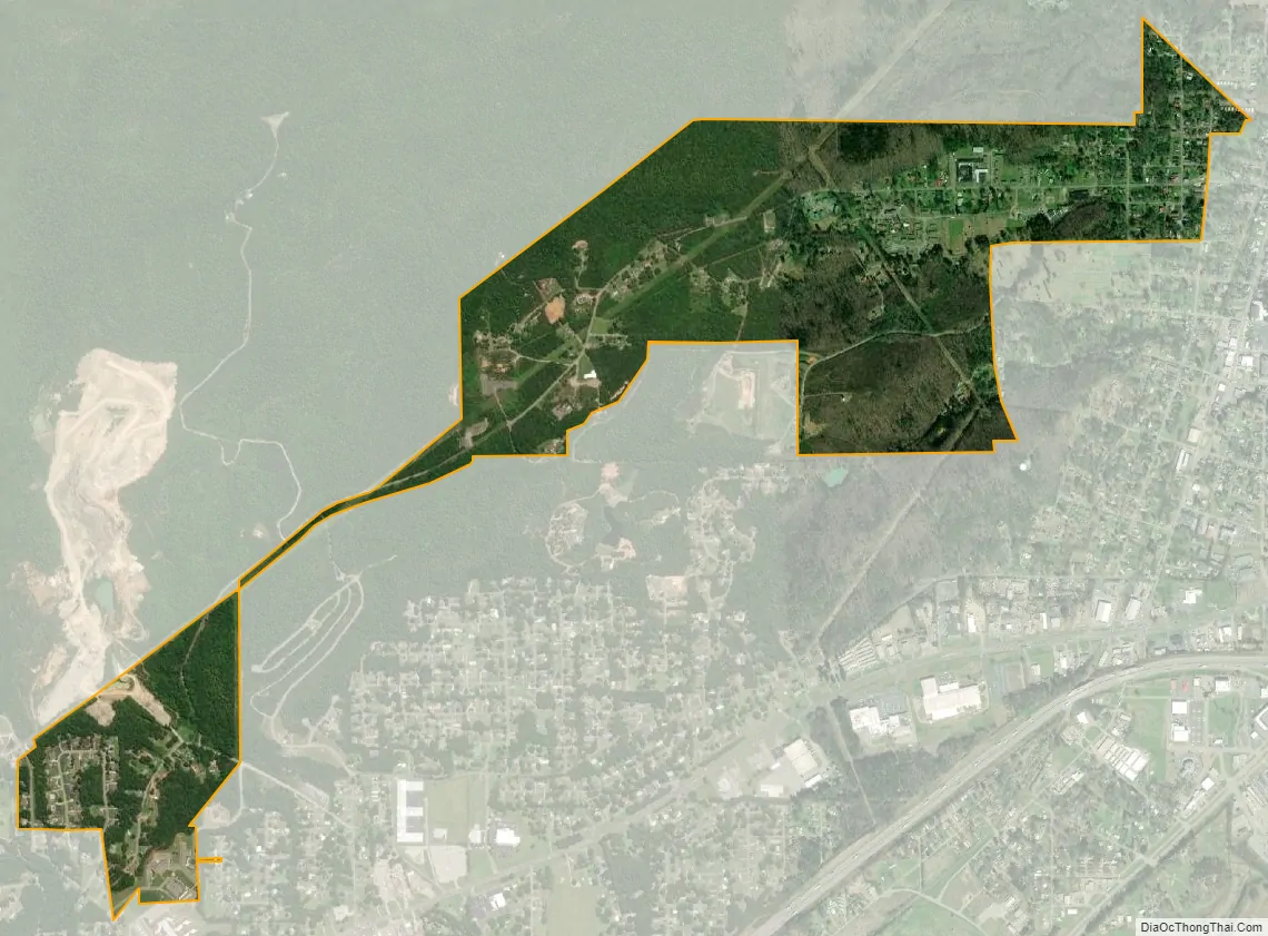
Hobson City city Satellite Map
Geography
Hobson City is located in southern Calhoun County at 33°37’6.589″ North, 85°50’36.330″ West (33.618497, -85.843425). It is bordered by the city of Oxford to the south and the city of Anniston to the north. According to the U.S. Census Bureau, the town has a total area of 1.0 square mile (2.7 km), all land.
See also
Map of Alabama State and its subdivision:- Autauga
- Baldwin
- Barbour
- Bibb
- Blount
- Bullock
- Butler
- Calhoun
- Chambers
- Cherokee
- Chilton
- Choctaw
- Clarke
- Clay
- Cleburne
- Coffee
- Colbert
- Conecuh
- Coosa
- Covington
- Crenshaw
- Cullman
- Dale
- Dallas
- De Kalb
- Elmore
- Escambia
- Etowah
- Fayette
- Franklin
- Geneva
- Greene
- Hale
- Henry
- Houston
- Jackson
- Jefferson
- Lamar
- Lauderdale
- Lawrence
- Lee
- Limestone
- Lowndes
- Macon
- Madison
- Marengo
- Marion
- Marshall
- Mobile
- Monroe
- Montgomery
- Morgan
- Perry
- Pickens
- Pike
- Randolph
- Russell
- Saint Clair
- Shelby
- Sumter
- Talladega
- Tallapoosa
- Tuscaloosa
- Walker
- Washington
- Wilcox
- Winston
- Alabama
- Alaska
- Arizona
- Arkansas
- California
- Colorado
- Connecticut
- Delaware
- District of Columbia
- Florida
- Georgia
- Hawaii
- Idaho
- Illinois
- Indiana
- Iowa
- Kansas
- Kentucky
- Louisiana
- Maine
- Maryland
- Massachusetts
- Michigan
- Minnesota
- Mississippi
- Missouri
- Montana
- Nebraska
- Nevada
- New Hampshire
- New Jersey
- New Mexico
- New York
- North Carolina
- North Dakota
- Ohio
- Oklahoma
- Oregon
- Pennsylvania
- Rhode Island
- South Carolina
- South Dakota
- Tennessee
- Texas
- Utah
- Vermont
- Virginia
- Washington
- West Virginia
- Wisconsin
- Wyoming