Hokes Bluff is a city in Etowah County, Alabama, United States. It is part of the Gadsden Metropolitan Statistical Area. At the 2020 census, the population was 4,446.
| Name: | Hokes Bluff city |
|---|---|
| LSAD Code: | 25 |
| LSAD Description: | city (suffix) |
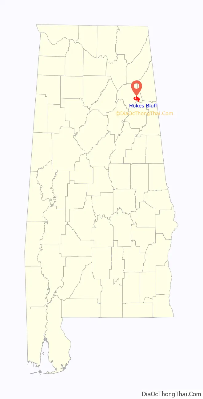
| State: | Alabama |
| County: | Etowah County |
| Elevation: | 587 ft (179 m) |
| Total Area: | 12.09 sq mi (31.32 km²) |
| Land Area: | 11.93 sq mi (30.90 km²) |
| Water Area: | 0.16 sq mi (0.42 km²) |
| Total Population: | 4,446 |
| Population Density: | 372.71/sq mi (143.91/km²) |
| ZIP code: | 35903 |
| Area code: | 256 |
| FIPS code: | 0135392 |
| GNISfeature ID: | 2404710 |
| Website: | www.cityofhokesbluff.com |
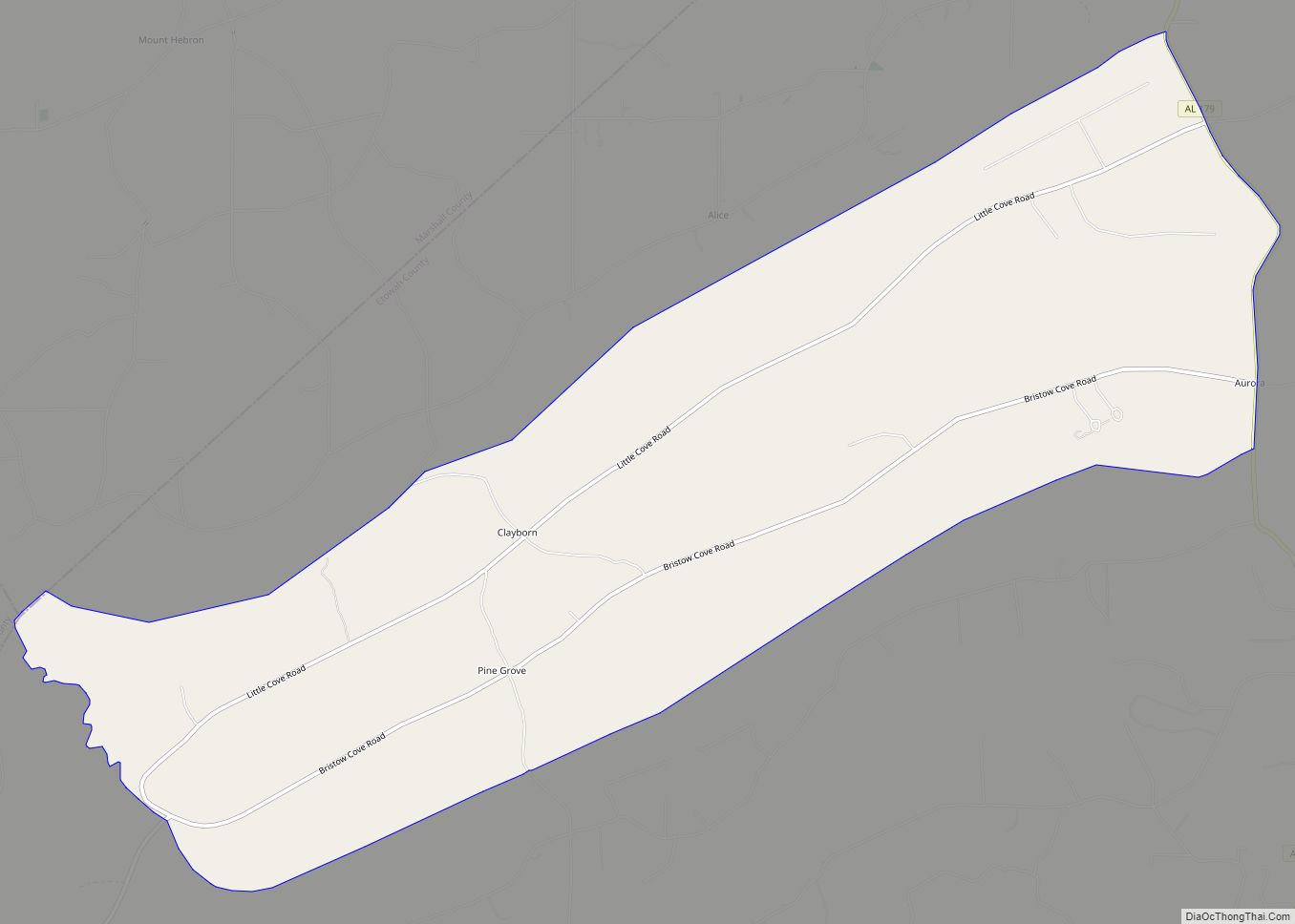
Online Interactive Map
Click on ![]() to view map in "full screen" mode.
to view map in "full screen" mode.
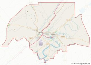
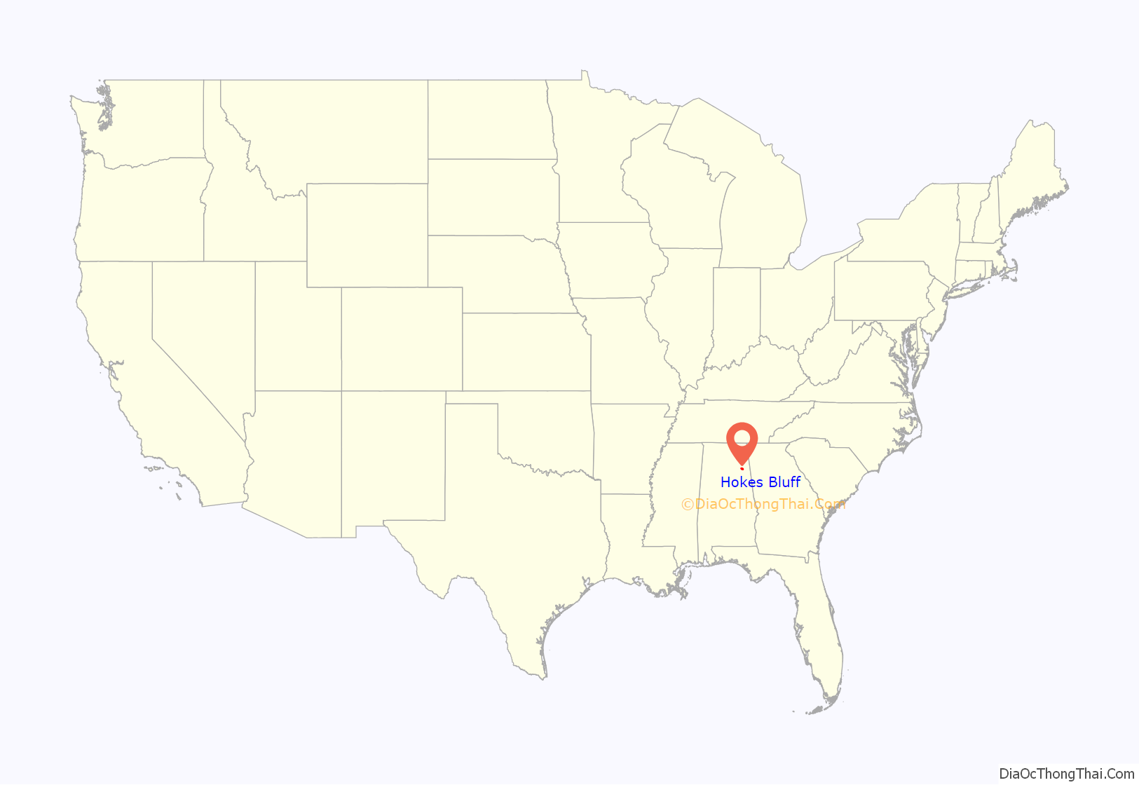
Hokes Bluff location map. Where is Hokes Bluff city?
History
Hokes Bluff was established on a high bluff overlooking the Coosa River. The town was called “The Bluff”, and was used as a lookout station for Native American tribes, as they could see a great distance across, up and down the Coosa River. Hokes Bluff was one of the staging areas where the Cherokee were collected, and sent to Gunter’s Landing (Guntersville), and west to Oklahoma on the Trail of Tears.
Settlers came into the area in the 1840s. Daniel Hoke Jr. was among the settlers, who came in 1850 and built a trading post and a blacksmith shop near the site of the bluff. The town was renamed “Hoke’s Bluff” after him in 1853 by W.B. Wynne, a friend of Hoke. The town was raided and pillaged during the Civil War by raiding parties of both sides of the Union and the Confederacy. John Henry Wisdom, who became the “Paul Revere of the Confederacy” after making his famous ride from Gadsden to Rome during the Civil War, was a resident of Hokes Bluff.
A new mail route was established from Gadsden to Hokes Bluff in 1890. Before it was established, Hokes Bluff had poor mail service, receiving most mail by steamboat. The post office was established in 1877 and discontinued in 1931.
One legend associated with the town is about Tawannah Springs, the town’s water supply. It is said that the springs are named for a Native American princess (Tawannah) who grieved herself to death after her cousin, Princess Noccalula, jumped herself to death at Noccalula Falls in Gadsden.
Hokes Bluff was incorporated in 1946 with a population of 1,200. W.B. Ford was the first mayor. In 1949, a water system was installed with a 75,000 gallon reservoir and 54 hydrants. In 1953, gas was installed in the town, and in 1956, the streets were paved.
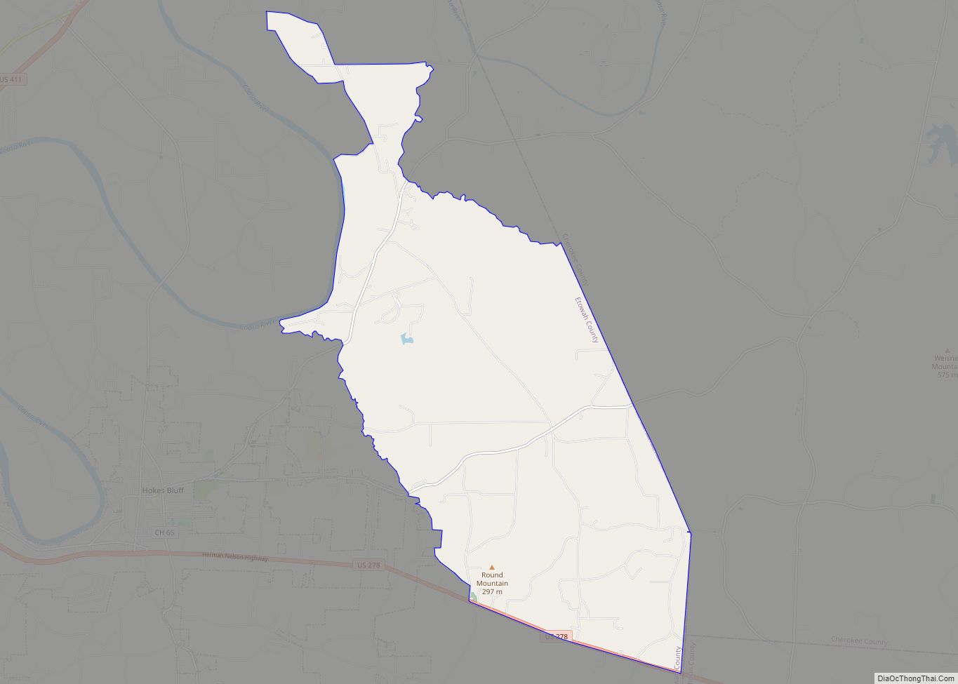
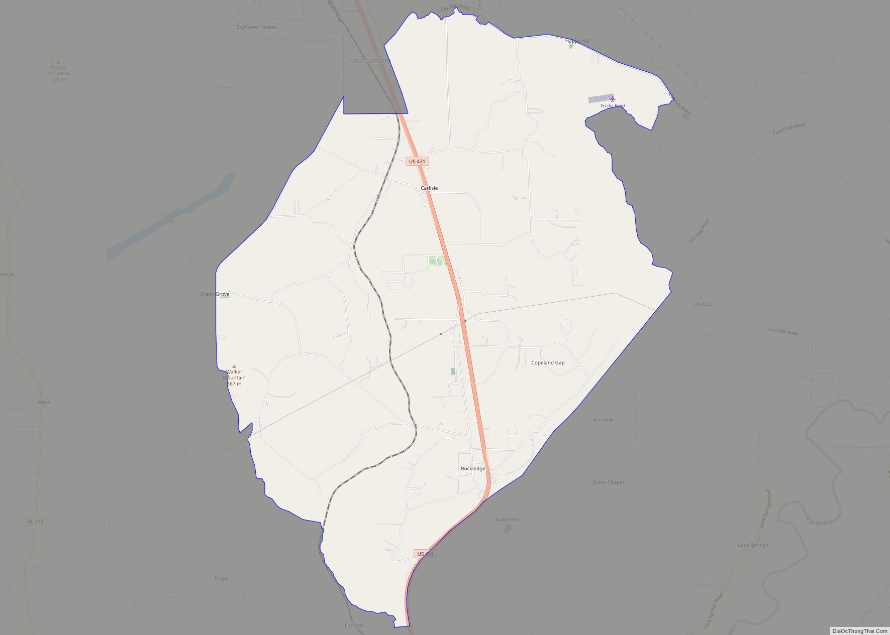
Hokes Bluff Road Map
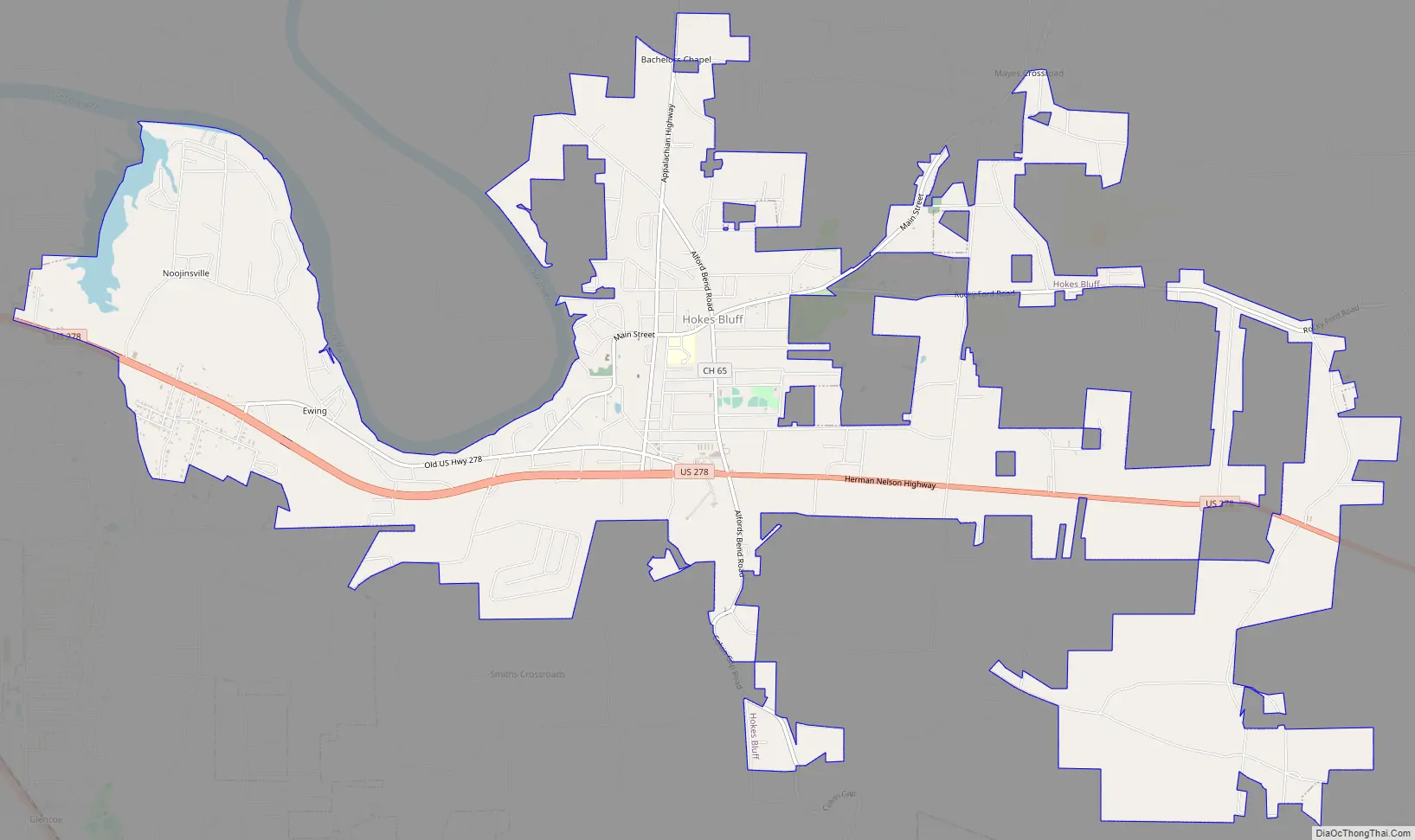
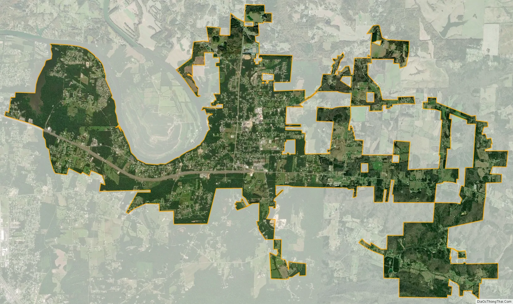
Hokes Bluff city Satellite Map
Geography
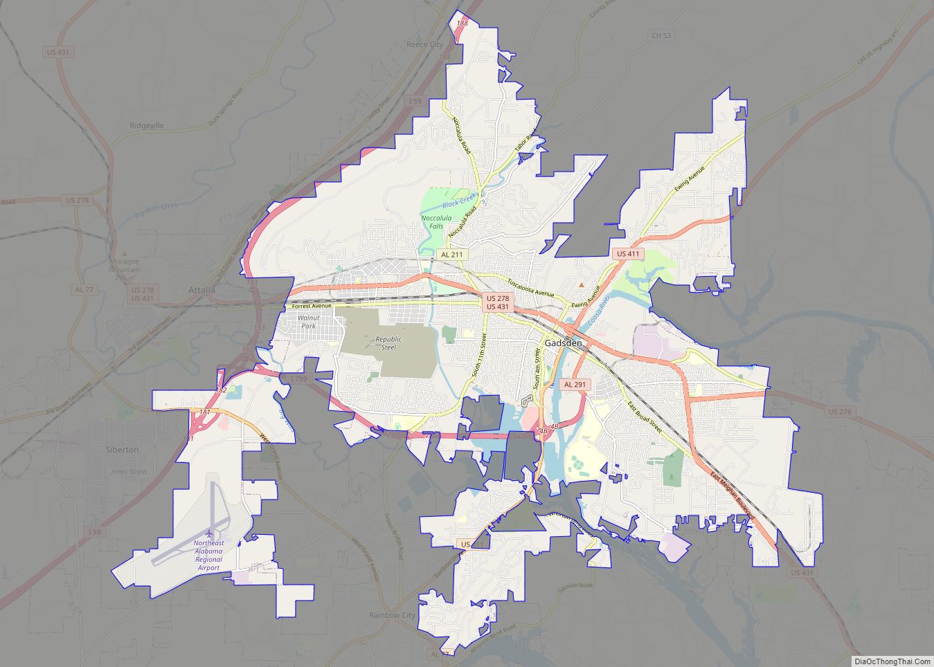
Hokes Bluff is located in eastern Etowah County at 34°00′N 85°52′W / 34.000°N 85.867°W / 34.000; -85.867. It is bordered to the west by the cities of Gadsden (the county seat) and Glencoe, and to the northwest by the Coosa River. U.S. Route 278 passes through the city, leading west 9 miles (14 km) to the center of Gadsden, and east 15 miles (24 km) to Piedmont.
According to the U.S. Census Bureau, the city of Hokes Bluff has a total area of 12.1 square miles (31.4 km), of which 11.9 square miles (30.9 km) is land and 0.2 square miles (0.4 km), or 1.35%, is water.
See also
Map of Alabama State and its subdivision:- Autauga
- Baldwin
- Barbour
- Bibb
- Blount
- Bullock
- Butler
- Calhoun
- Chambers
- Cherokee
- Chilton
- Choctaw
- Clarke
- Clay
- Cleburne
- Coffee
- Colbert
- Conecuh
- Coosa
- Covington
- Crenshaw
- Cullman
- Dale
- Dallas
- De Kalb
- Elmore
- Escambia
- Etowah
- Fayette
- Franklin
- Geneva
- Greene
- Hale
- Henry
- Houston
- Jackson
- Jefferson
- Lamar
- Lauderdale
- Lawrence
- Lee
- Limestone
- Lowndes
- Macon
- Madison
- Marengo
- Marion
- Marshall
- Mobile
- Monroe
- Montgomery
- Morgan
- Perry
- Pickens
- Pike
- Randolph
- Russell
- Saint Clair
- Shelby
- Sumter
- Talladega
- Tallapoosa
- Tuscaloosa
- Walker
- Washington
- Wilcox
- Winston
- Alabama
- Alaska
- Arizona
- Arkansas
- California
- Colorado
- Connecticut
- Delaware
- District of Columbia
- Florida
- Georgia
- Hawaii
- Idaho
- Illinois
- Indiana
- Iowa
- Kansas
- Kentucky
- Louisiana
- Maine
- Maryland
- Massachusetts
- Michigan
- Minnesota
- Mississippi
- Missouri
- Montana
- Nebraska
- Nevada
- New Hampshire
- New Jersey
- New Mexico
- New York
- North Carolina
- North Dakota
- Ohio
- Oklahoma
- Oregon
- Pennsylvania
- Rhode Island
- South Carolina
- South Dakota
- Tennessee
- Texas
- Utah
- Vermont
- Virginia
- Washington
- West Virginia
- Wisconsin
- Wyoming