Athens is a city in and the county seat of Limestone County, in the U.S. state of Alabama; it is included in the Huntsville-Decatur-Albertville, AL Combined Statistical Area. As of the 2020 census, the population of the city is 25,406.
| Name: | Athens city |
|---|---|
| LSAD Code: | 25 |
| LSAD Description: | city (suffix) |
| State: | Alabama |
| County: | Limestone County |
| Incorporated: | November 19, 1818 |
| Elevation: | 663 ft (202 m) |
| Total Area: | 40.87 sq mi (105.85 km²) |
| Land Area: | 40.60 sq mi (105.16 km²) |
| Water Area: | 0.26 sq mi (0.68 km²) |
| Total Population: | 25,406 |
| Population Density: | 625.70/sq mi (241.58/km²) |
| ZIP code: | 35611–35614–35613 |
| FIPS code: | 0102956 |
| GNISfeature ID: | 2403123 |
| Website: | www.athensal.us |
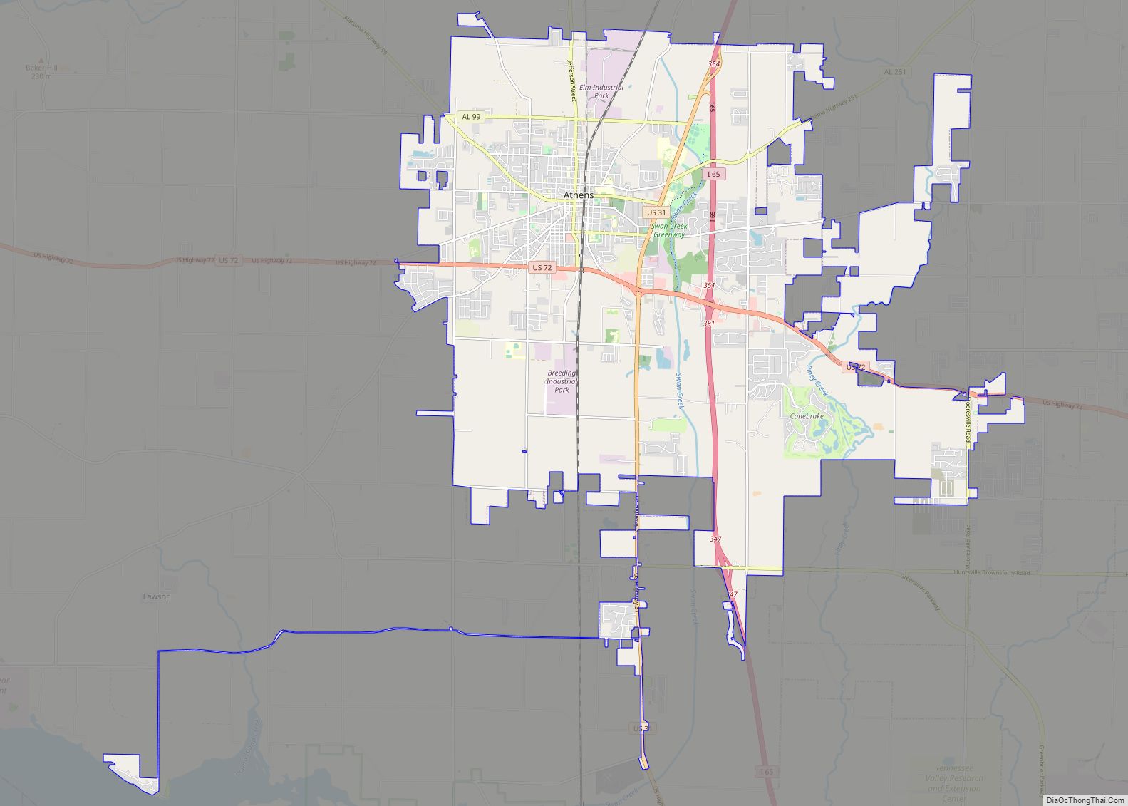
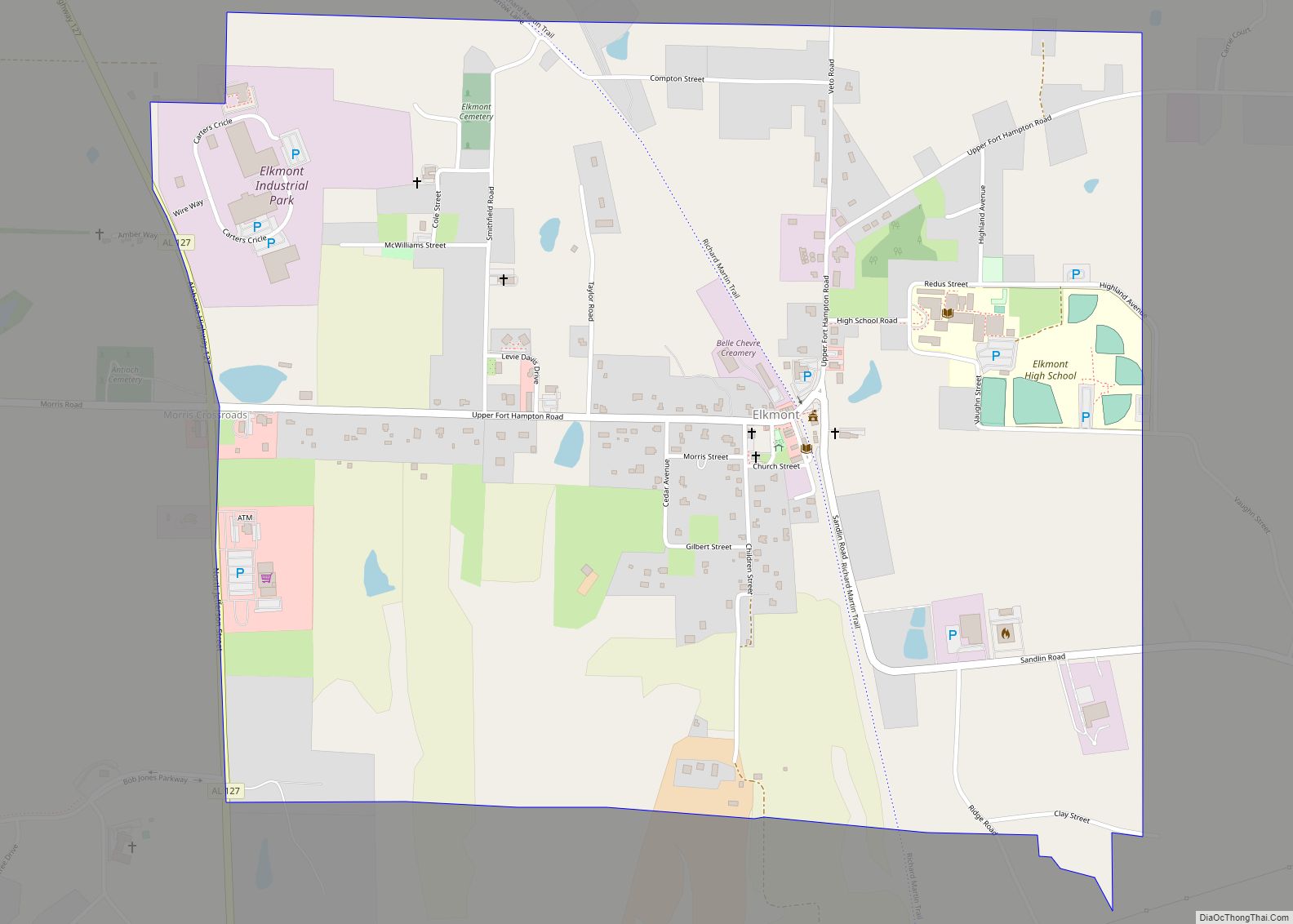
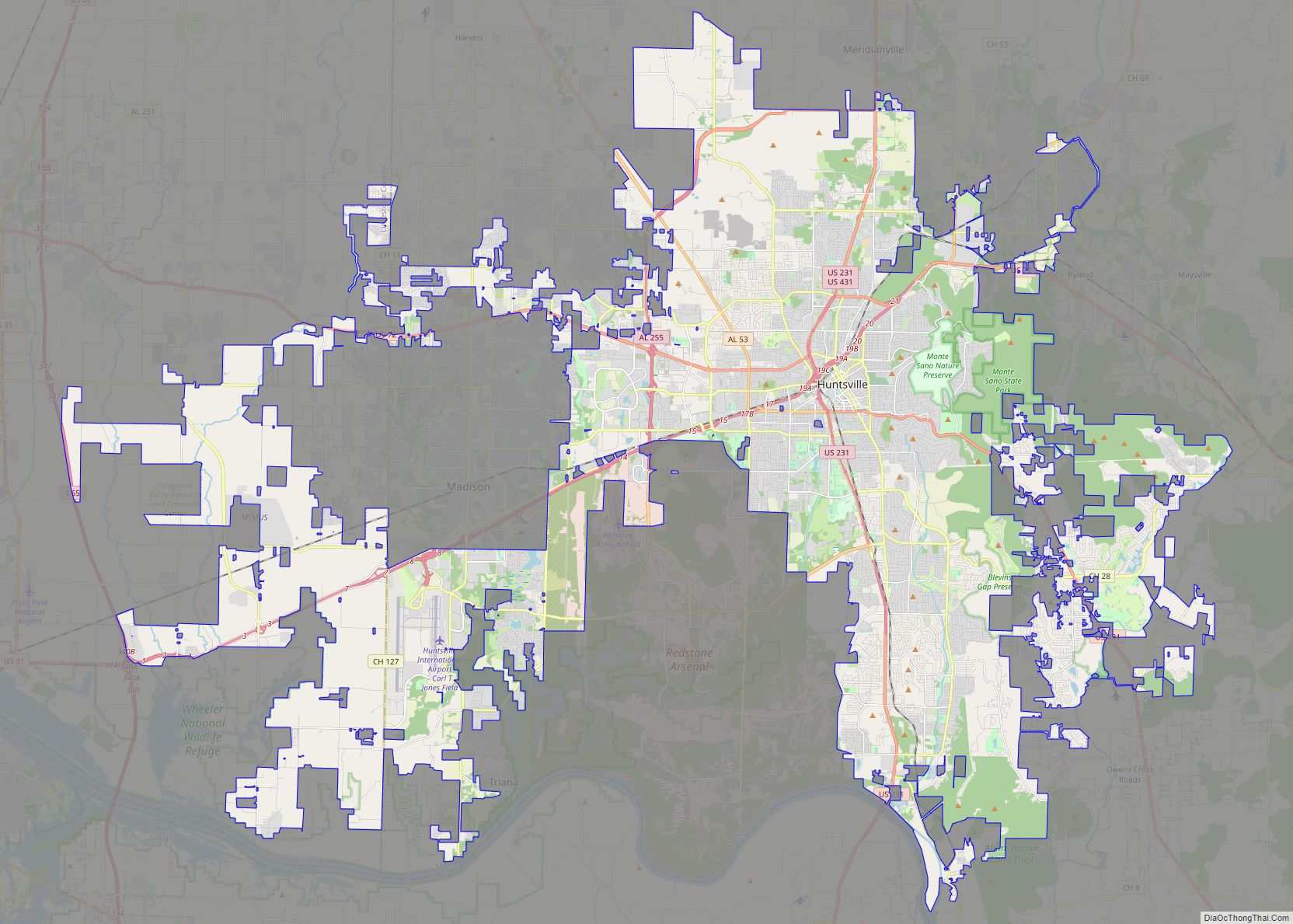
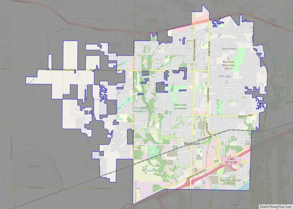
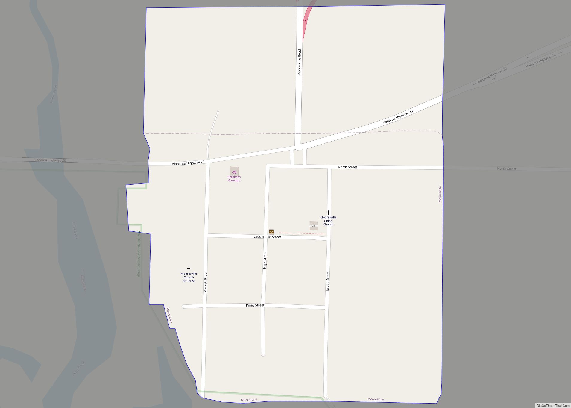
Online Interactive Map
Click on ![]() to view map in "full screen" mode.
to view map in "full screen" mode.
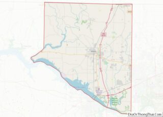
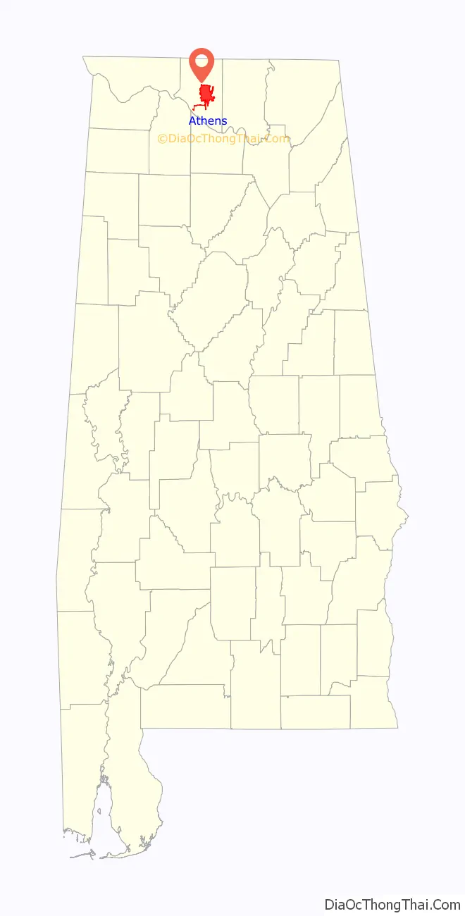
Athens location map. Where is Athens city?

History
Founded in 1818 by John Coffee, Robert Beaty, John D. Carroll, and John Read, Athens is one of the oldest incorporated cities in the state, having been incorporated one year prior to the state’s admittance to the Union in 1819. Limestone County was also created by an act of the Alabama Territorial Legislature in 1818. The town was first called Athenson, but was incorporated as Athens after the ancient city in Greece. The town’s first mayor was Samuel Tanner, and the Tanner area, south of Athens, was named on his behalf.
The Athens area was the home of William Wyatt Bibb, the first governor of Alabama, and its second governor, his brother Thomas Bibb, who succeeded him in office when he died in a fall from his horse.
In 1822, local residents purchased 5 acres (20,000 m) of land and constructed a building to house the Athens Female Academy. The school became affiliated with the Methodist church in 1842, and was eventually renamed Athens Female College. After becoming coeducational in 1932, the school changed its name again to Athens College. After being taken over by the State of Alabama in 1974, the college was converted to a “reverse junior college,” offering the last two years of instruction for graduates of area community colleges. It is today known as Athens State University.
Many homes in the central part of modern Athens date to the antebellum period, and are part of historic preservation districts.
On May 2, 1862, during the Civil War, Athens was seized by Union forces under the command of Col. John Basil Turchin. After occupying the town on May 2, 1862 Turchin assembled his men and reportedly told them: “I shut my eyes for two hours. I see nothing.” He did, in fact, leave the town to reconnoiter defensive positions, during which time his men ransacked the town. The incident was controversial, and Lost Cause supporters vilified Turchin.
Athens was the home of Governor George S. Houston, Alabama’s first post-Reconstruction Democratic governor, who served from 1874 through 1878. Houston was noted for reducing the debts incurred to benefit private railroad speculators and others by his Reconstruction Republican predecessors. During Reconstruction, Athens was the home of the Trinity School, a school founded for the children of former slaves by Mary Fletcher Wells and funded by the American Missionary Association.
Athens was traditionally a cotton and railroad town, but since the local aerospace boom of the 1950s and 1960s, it has increasingly entered the orbit of nearby industry center Huntsville as the area’s cotton production has steadily declined.
Athens is the home of Browns Ferry Nuclear Power Plant, a Tennessee Valley Authority installation first operated in 1974, that was once the world’s largest nuclear plant. It provides many jobs to the area and most of the electricity for the Huntsville-Decatur Metro Area. On March 22, 1975, the Browns Ferry plant became the scene of what was, with the exception of the Three Mile Island accident, the most serious nuclear accident in United States history. A worker using a candle to check for air leaks started a fire among control wires, causing a temporary threat to operational control of the reactor (see Browns Ferry Nuclear Power Plant article on Unit One Fire).
Athens Road Map
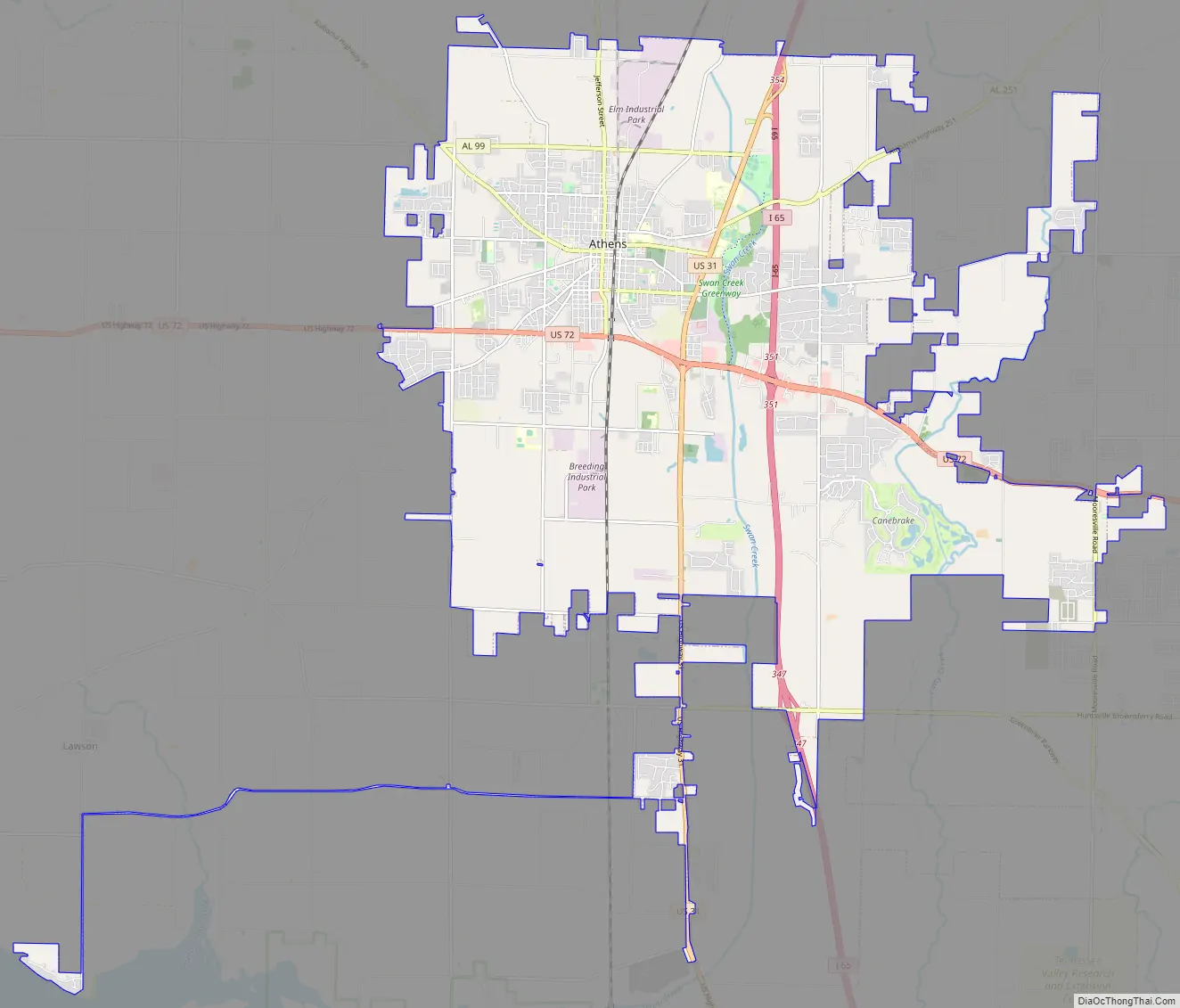
Athens city Satellite Map

Geography
Athens is midway between Nashville and Birmingham on Interstate 65. Athens shares a boundary with Huntsville.
According to the U.S. Census Bureau, the city has a total area of 39.4 square miles (102 km), of which 39.3 square miles (102 km) is land and 0.1 square miles (0.26 km) (0.23%) is water.
Climate
The climate in this area is characterized by hot, humid summers and generally cool winters. According to the Köppen climate classification system, Athens has a humid subtropical climate, abbreviated “Cfa” on climate maps.
See also
Map of Alabama State and its subdivision:- Autauga
- Baldwin
- Barbour
- Bibb
- Blount
- Bullock
- Butler
- Calhoun
- Chambers
- Cherokee
- Chilton
- Choctaw
- Clarke
- Clay
- Cleburne
- Coffee
- Colbert
- Conecuh
- Coosa
- Covington
- Crenshaw
- Cullman
- Dale
- Dallas
- De Kalb
- Elmore
- Escambia
- Etowah
- Fayette
- Franklin
- Geneva
- Greene
- Hale
- Henry
- Houston
- Jackson
- Jefferson
- Lamar
- Lauderdale
- Lawrence
- Lee
- Limestone
- Lowndes
- Macon
- Madison
- Marengo
- Marion
- Marshall
- Mobile
- Monroe
- Montgomery
- Morgan
- Perry
- Pickens
- Pike
- Randolph
- Russell
- Saint Clair
- Shelby
- Sumter
- Talladega
- Tallapoosa
- Tuscaloosa
- Walker
- Washington
- Wilcox
- Winston
- Alabama
- Alaska
- Arizona
- Arkansas
- California
- Colorado
- Connecticut
- Delaware
- District of Columbia
- Florida
- Georgia
- Hawaii
- Idaho
- Illinois
- Indiana
- Iowa
- Kansas
- Kentucky
- Louisiana
- Maine
- Maryland
- Massachusetts
- Michigan
- Minnesota
- Mississippi
- Missouri
- Montana
- Nebraska
- Nevada
- New Hampshire
- New Jersey
- New Mexico
- New York
- North Carolina
- North Dakota
- Ohio
- Oklahoma
- Oregon
- Pennsylvania
- Rhode Island
- South Carolina
- South Dakota
- Tennessee
- Texas
- Utah
- Vermont
- Virginia
- Washington
- West Virginia
- Wisconsin
- Wyoming