Margaret is a city in St. Clair County, Alabama, United States. At the 2020 census, the population was 5,106. As of the 2010 census, the population is 4,428, an increase of 278.8%. Margaret incorporated in 1960 and became a city in October 2011.
| Name: | Margaret town |
|---|---|
| LSAD Code: | 43 |
| LSAD Description: | town (suffix) |
| State: | Alabama |
| County: | St. Clair County |
| Elevation: | 699 ft (213 m) |
| Total Area: | 9.84 sq mi (25.48 km²) |
| Land Area: | 9.82 sq mi (25.44 km²) |
| Water Area: | 0.01 sq mi (0.04 km²) |
| Total Population: | 5,106 |
| Population Density: | 519.85/sq mi (200.72/km²) |
| ZIP code: | 35120 |
| Area code: | 205, 659 |
| FIPS code: | 0146696 |
| GNISfeature ID: | 0164749 |
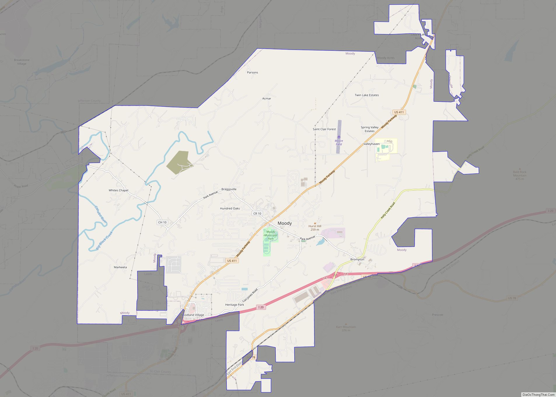
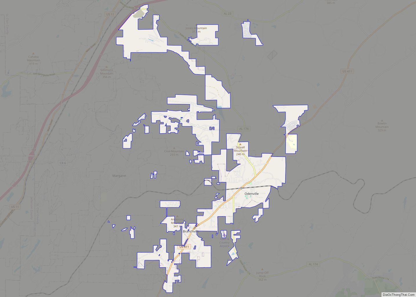
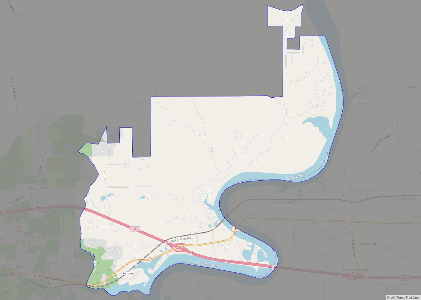
Online Interactive Map
Click on ![]() to view map in "full screen" mode.
to view map in "full screen" mode.
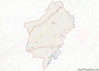
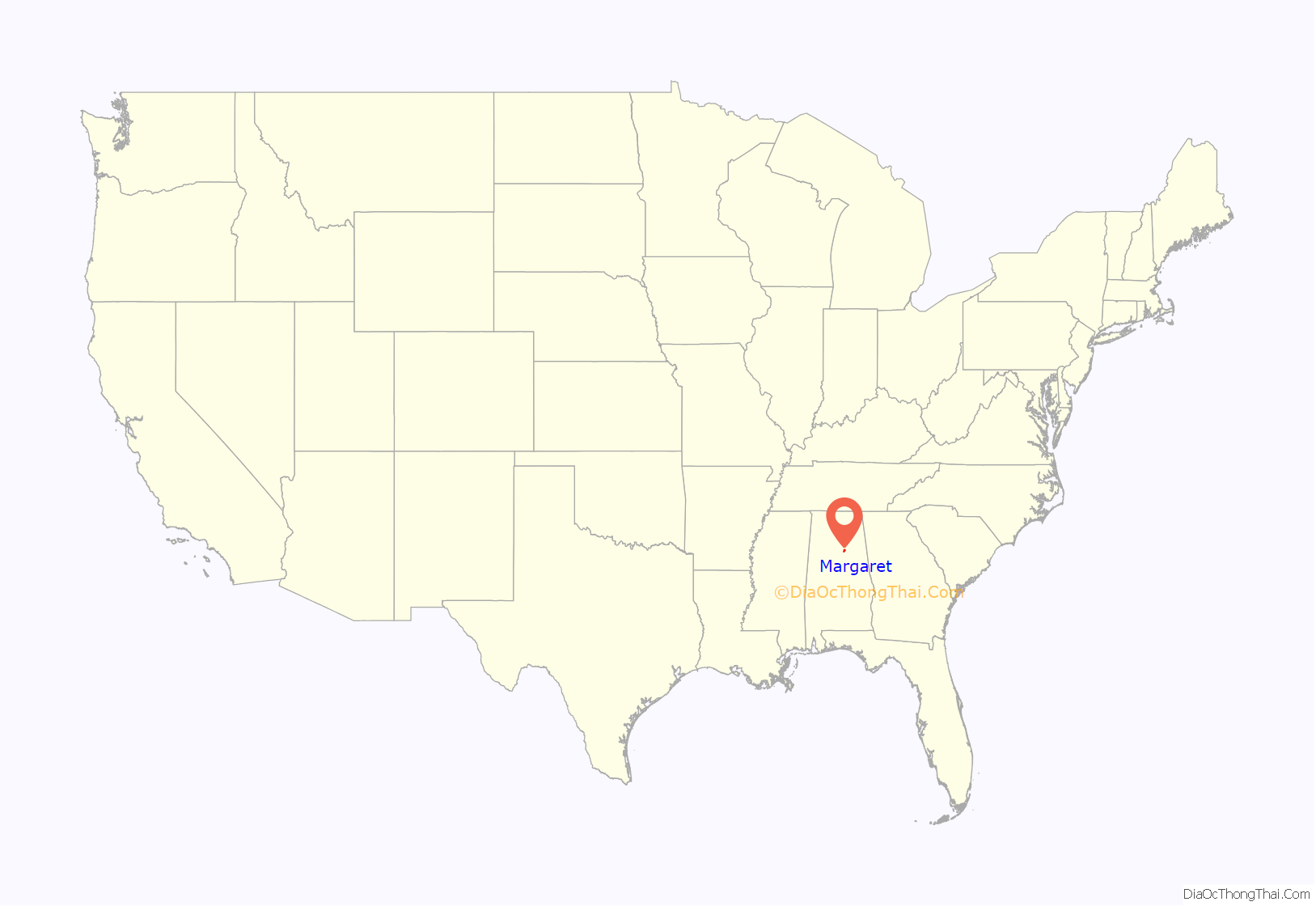
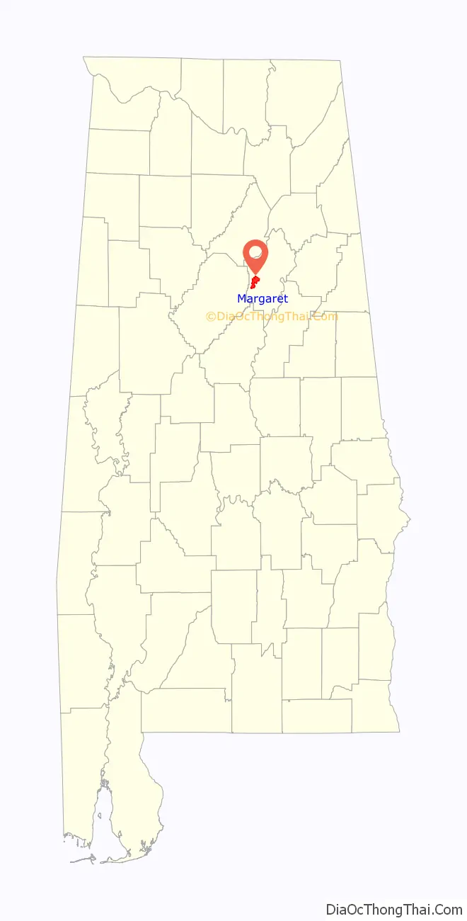
Margaret location map. Where is Margaret town?
History
The city was established in 1908 as a company town for the Alabama Fuel and Iron Company.
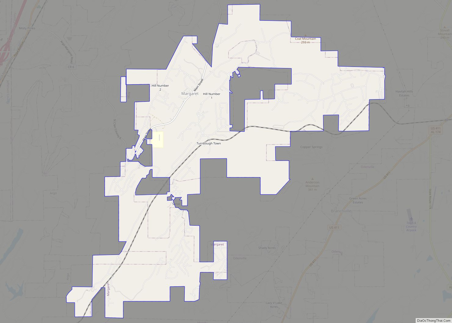
Margaret Road Map
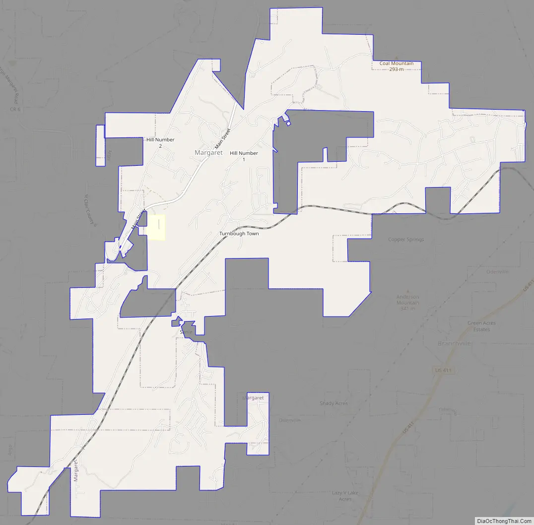
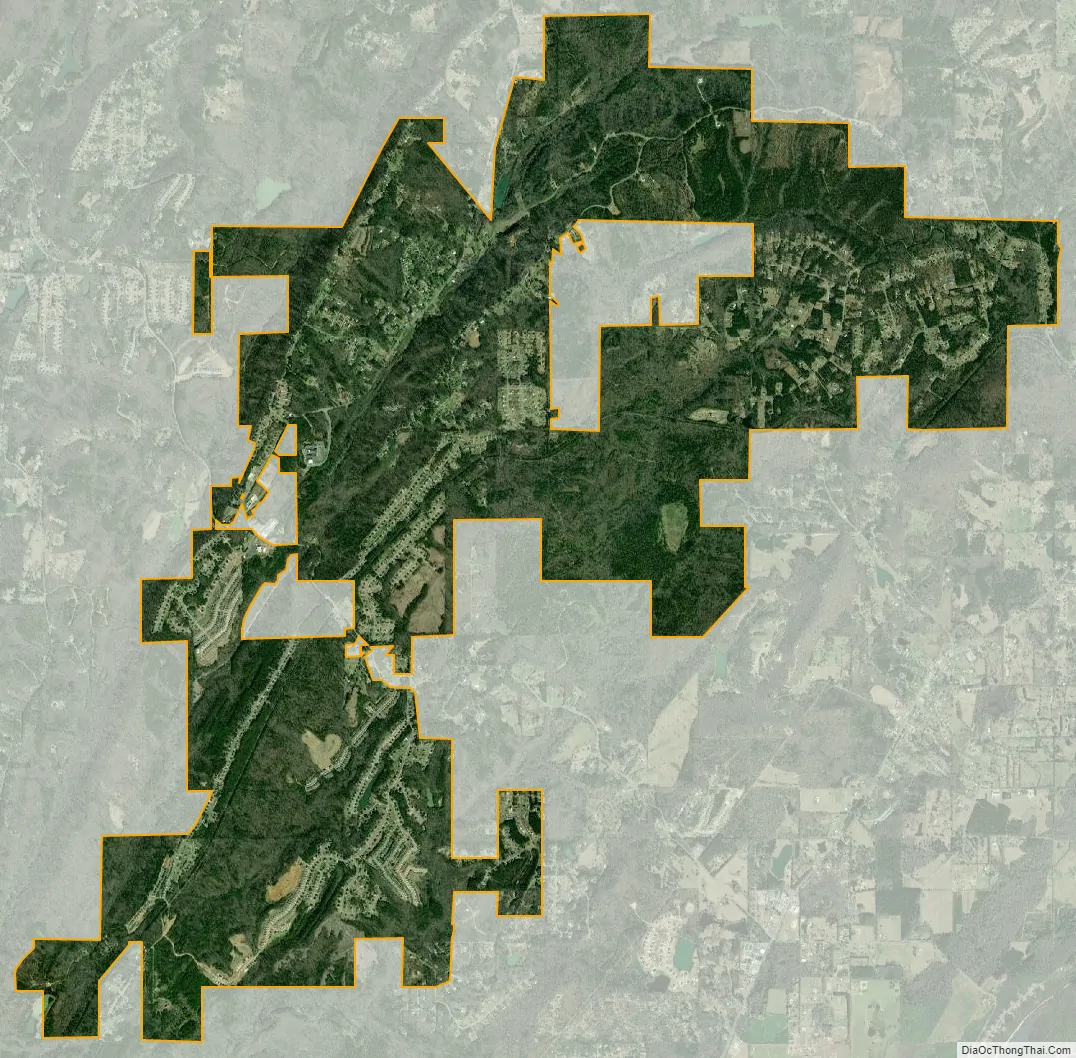
Margaret city Satellite Map
Geography
Margaret is located at 33°40′33″N 86°28′4″W / 33.67583°N 86.46778°W / 33.67583; -86.46778 (33.675957, -86.467641).
According to the U.S. Census Bureau, the city has a total area of 9.3 square miles (24 km), of which 9.3 square miles (24 km) is land and 0.04 square miles (0.10 km) (0.21%) is water.
See also
Map of Alabama State and its subdivision:- Autauga
- Baldwin
- Barbour
- Bibb
- Blount
- Bullock
- Butler
- Calhoun
- Chambers
- Cherokee
- Chilton
- Choctaw
- Clarke
- Clay
- Cleburne
- Coffee
- Colbert
- Conecuh
- Coosa
- Covington
- Crenshaw
- Cullman
- Dale
- Dallas
- De Kalb
- Elmore
- Escambia
- Etowah
- Fayette
- Franklin
- Geneva
- Greene
- Hale
- Henry
- Houston
- Jackson
- Jefferson
- Lamar
- Lauderdale
- Lawrence
- Lee
- Limestone
- Lowndes
- Macon
- Madison
- Marengo
- Marion
- Marshall
- Mobile
- Monroe
- Montgomery
- Morgan
- Perry
- Pickens
- Pike
- Randolph
- Russell
- Saint Clair
- Shelby
- Sumter
- Talladega
- Tallapoosa
- Tuscaloosa
- Walker
- Washington
- Wilcox
- Winston
- Alabama
- Alaska
- Arizona
- Arkansas
- California
- Colorado
- Connecticut
- Delaware
- District of Columbia
- Florida
- Georgia
- Hawaii
- Idaho
- Illinois
- Indiana
- Iowa
- Kansas
- Kentucky
- Louisiana
- Maine
- Maryland
- Massachusetts
- Michigan
- Minnesota
- Mississippi
- Missouri
- Montana
- Nebraska
- Nevada
- New Hampshire
- New Jersey
- New Mexico
- New York
- North Carolina
- North Dakota
- Ohio
- Oklahoma
- Oregon
- Pennsylvania
- Rhode Island
- South Carolina
- South Dakota
- Tennessee
- Texas
- Utah
- Vermont
- Virginia
- Washington
- West Virginia
- Wisconsin
- Wyoming