New Hope is a city in Madison County, Alabama, United States, and is included in the Huntsville-Decatur Combined Statistical Area. As of the 2020 census, the population was 2,889.
| Name: | New Hope city |
|---|---|
| LSAD Code: | 25 |
| LSAD Description: | city (suffix) |
| State: | Alabama |
| County: | Madison County |
| Elevation: | 607 ft (185 m) |
| Total Area: | 8.71 sq mi (22.57 km²) |
| Land Area: | 8.66 sq mi (22.42 km²) |
| Water Area: | 0.06 sq mi (0.15 km²) |
| Total Population: | 2,889 |
| Population Density: | 333.7/sq mi (128.84/km²) |
| ZIP code: | 35760 |
| Area code: | 256 |
| FIPS code: | 0154168 |
| GNISfeature ID: | 2404361 |
| Website: | www.cityofnewhope.org |
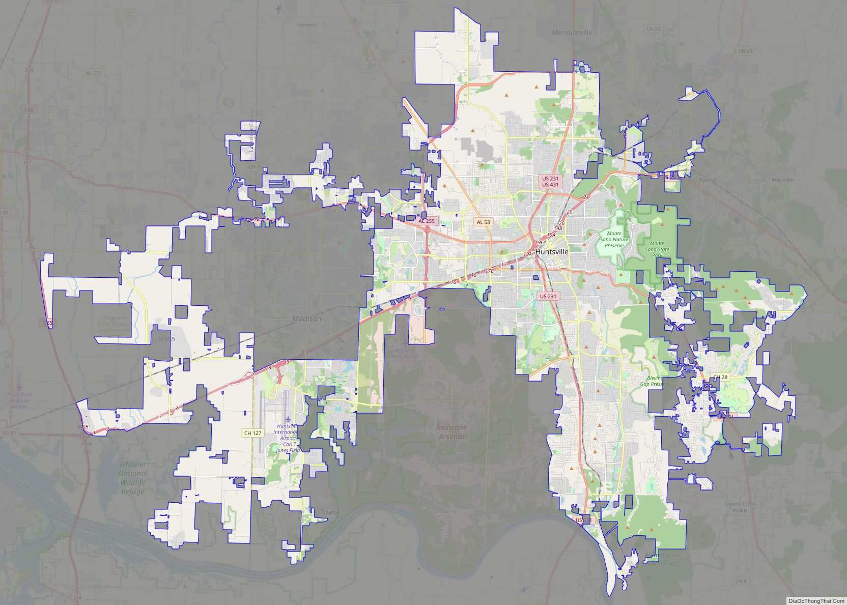
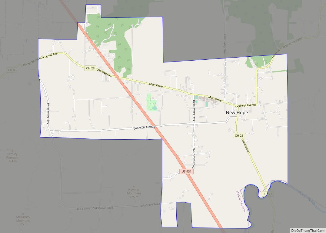
Online Interactive Map
Click on ![]() to view map in "full screen" mode.
to view map in "full screen" mode.
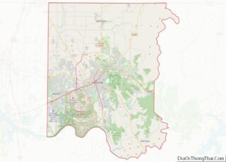
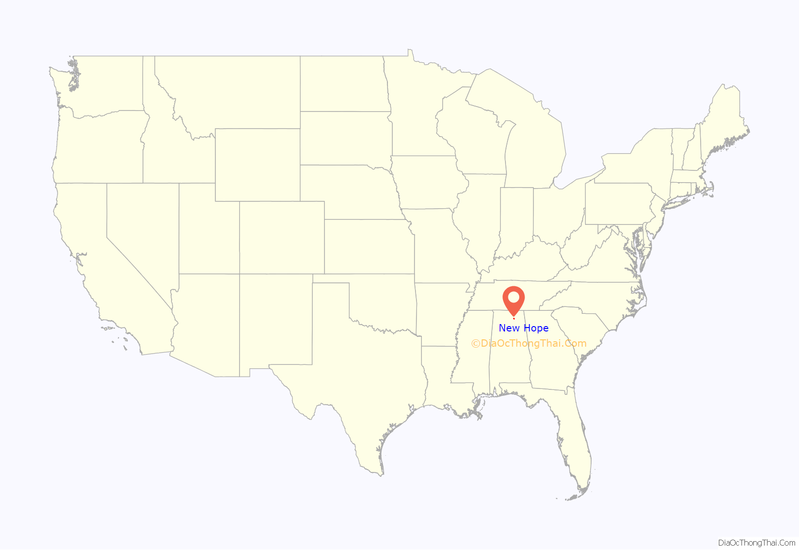
New Hope location map. Where is New Hope city?
History
Originally named “Cloud’s Town” in 1829 by its founder, William Cloud, it was incorporated in 1832 under the name of “Vienna”. Lieutenant Colonel Alfred Reed of the 12th Indiana Cavalry seized the town on May 29, 1864, during the American Civil War. Vienna was burned by the Union Army on December 15, 1864, because of the constant skirmishes with the guerrilla fighters in the area. All that remained were the post office and Masonic Lodge. Since there was already a post office called Vienna in southern Alabama and rules were that there could not be two post offices with the same name at that time, the rebuilt city was incorporated in 1883 as “New Hope”, taking its name from the New Hope Methodist Church. The settlement known as Cloud’s Town was actually settled in what is now known as Cloud’s Cove just off Hobbs Island Road and is a few miles from the town of New Hope.
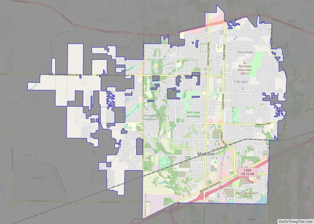
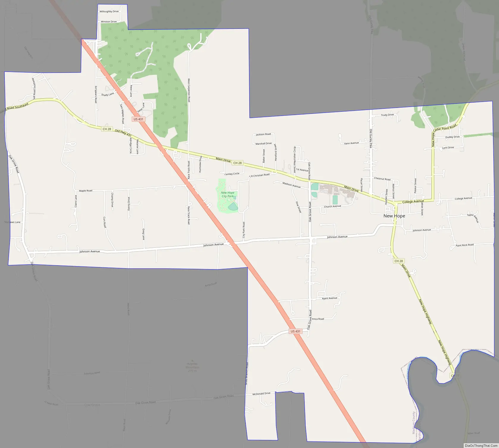
New Hope Road Map
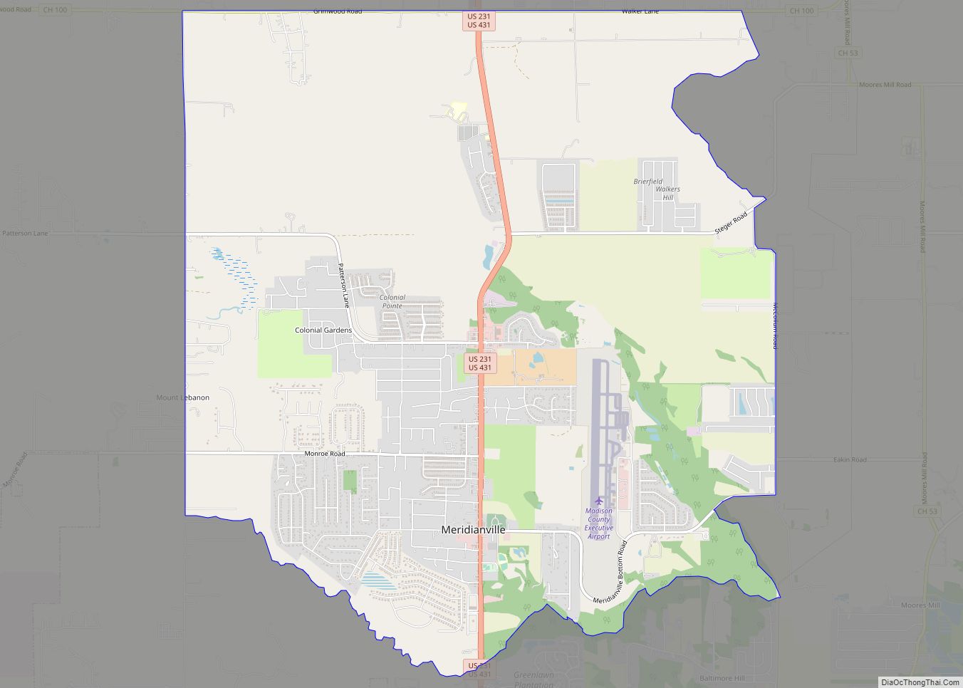
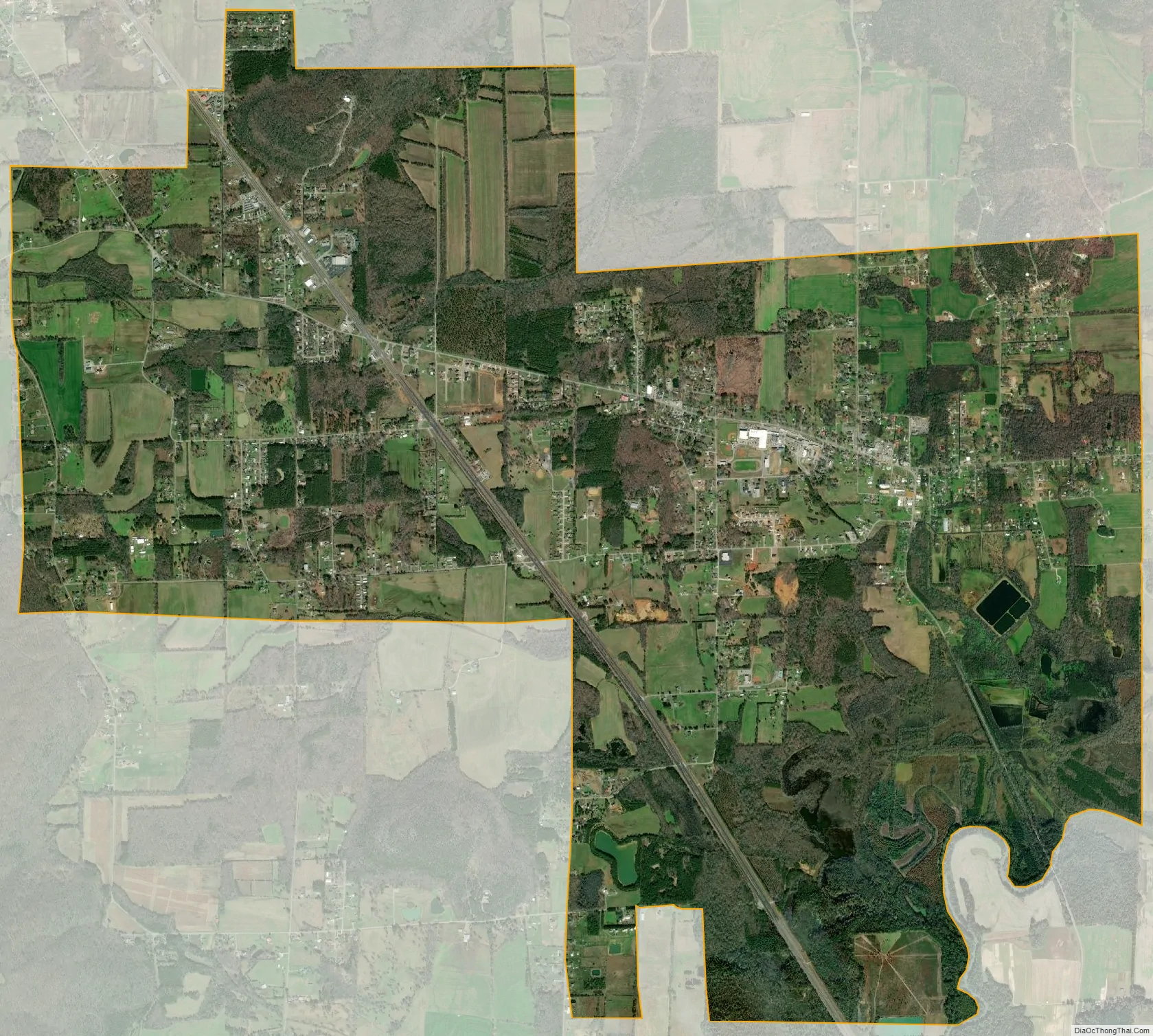
New Hope city Satellite Map
Geography
New Hope is located in southeastern Madison County at 34°32′17″N 86°24′44″W / 34.53806°N 86.41222°W / 34.53806; -86.41222 (34.538194, −86.412129), along U.S. Route 431. It is 19 miles (31 km) southeast of the center of Huntsville and the same distance northwest of Guntersville
According to the U.S. Census Bureau, the city has a total area of 8.7 square miles (22.6 km), of which 8.6 square miles (22.4 km) are land and 0.06 square miles (0.15 km), or 0.66%, are water.
See also
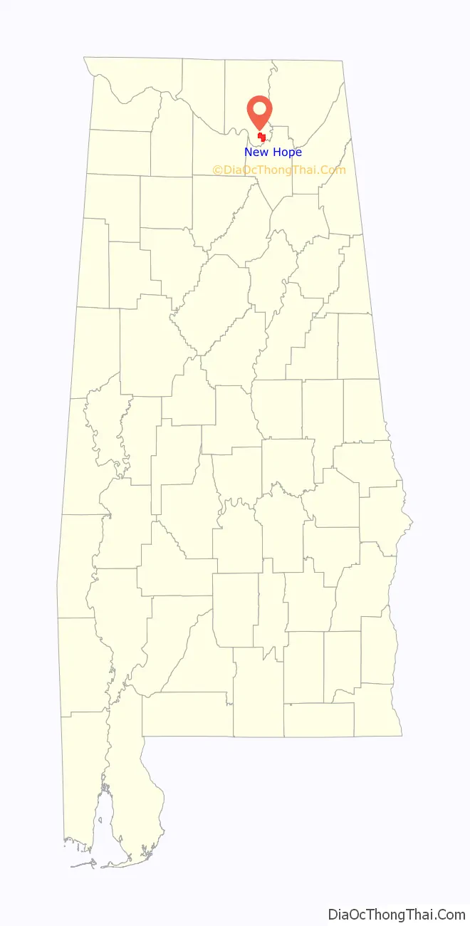
Map of Alabama State and its subdivision:- Autauga
- Baldwin
- Barbour
- Bibb
- Blount
- Bullock
- Butler
- Calhoun
- Chambers
- Cherokee
- Chilton
- Choctaw
- Clarke
- Clay
- Cleburne
- Coffee
- Colbert
- Conecuh
- Coosa
- Covington
- Crenshaw
- Cullman
- Dale
- Dallas
- De Kalb
- Elmore
- Escambia
- Etowah
- Fayette
- Franklin
- Geneva
- Greene
- Hale
- Henry
- Houston
- Jackson
- Jefferson
- Lamar
- Lauderdale
- Lawrence
- Lee
- Limestone
- Lowndes
- Macon
- Madison
- Marengo
- Marion
- Marshall
- Mobile
- Monroe
- Montgomery
- Morgan
- Perry
- Pickens
- Pike
- Randolph
- Russell
- Saint Clair
- Shelby
- Sumter
- Talladega
- Tallapoosa
- Tuscaloosa
- Walker
- Washington
- Wilcox
- Winston
- Alabama
- Alaska
- Arizona
- Arkansas
- California
- Colorado
- Connecticut
- Delaware
- District of Columbia
- Florida
- Georgia
- Hawaii
- Idaho
- Illinois
- Indiana
- Iowa
- Kansas
- Kentucky
- Louisiana
- Maine
- Maryland
- Massachusetts
- Michigan
- Minnesota
- Mississippi
- Missouri
- Montana
- Nebraska
- Nevada
- New Hampshire
- New Jersey
- New Mexico
- New York
- North Carolina
- North Dakota
- Ohio
- Oklahoma
- Oregon
- Pennsylvania
- Rhode Island
- South Carolina
- South Dakota
- Tennessee
- Texas
- Utah
- Vermont
- Virginia
- Washington
- West Virginia
- Wisconsin
- Wyoming