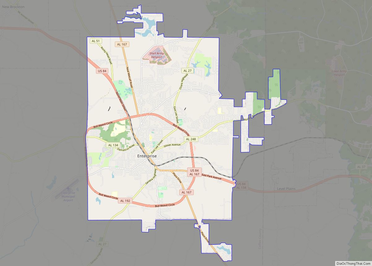
Ozark is a city in and the county seat of Dale County, Alabama. As of the 2010 census, the population of the city was 14,907.
Ozark is the principal city of the Ozark Micropolitan Statistical Area, as well as a part of the Dothan-Ozark Combined Statistical Area. Ozark was originally a part of Enterprise–Ozark micropolitan area before being split, and for a longer while was originally part of the Dothan-Enterprise-Ozark combined statistical area but Enterprise is now its own separate primary statistical area in later censuses. Fort Novosel, the primary flight training base for Army Aviation, abuts Ozark.
| Name: | Ozark city |
|---|---|
| LSAD Code: | 25 |
| LSAD Description: | city (suffix) |
| State: | Alabama |
| County: | Dale County |
| Incorporated: | October 27, 1870 |
| Elevation: | 417 ft (127 m) |
| Total Area: | 34.34 sq mi (88.94 km²) |
| Land Area: | 34.10 sq mi (88.33 km²) |
| Water Area: | 0.23 sq mi (0.61 km²) |
| Total Population: | 14,368 |
| Population Density: | 421.30/sq mi (162.66/km²) |
| Area code: | 334 |
| FIPS code: | 0157648 |
| GNISfeature ID: | 0152832 |
| Website: | www.ozarkalabama.us |
Online Interactive Map
Click on ![]() to view map in "full screen" mode.
to view map in "full screen" mode.
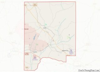
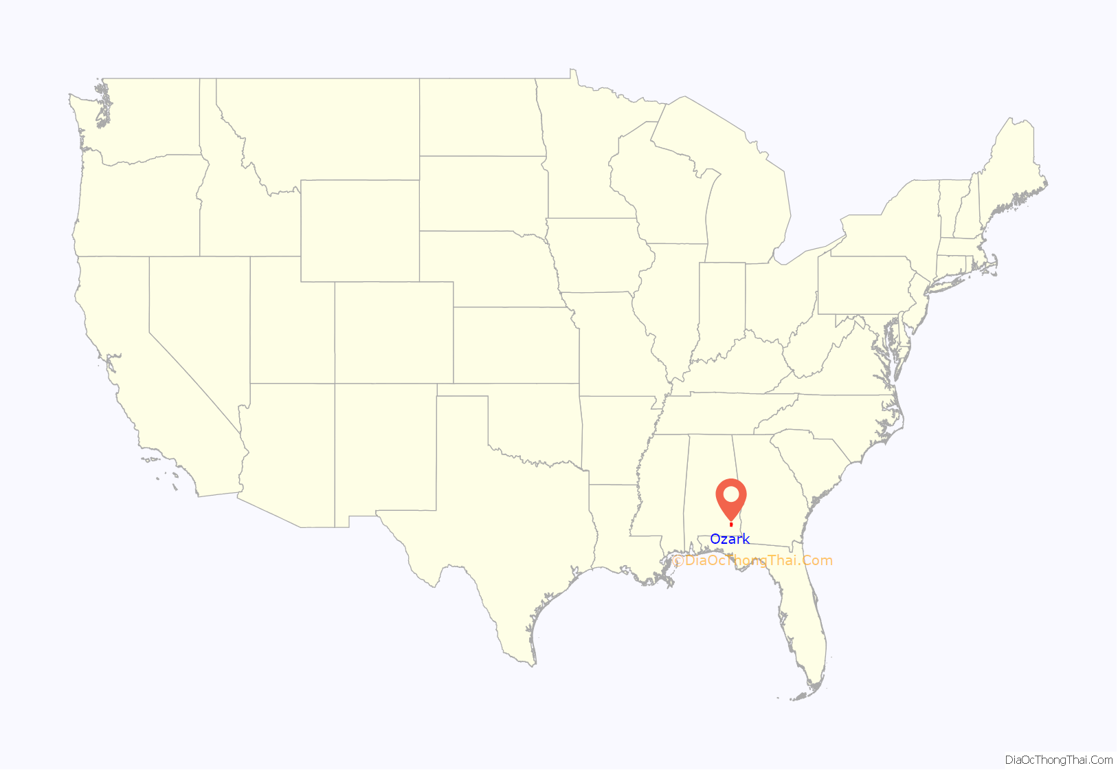
Ozark location map. Where is Ozark city?
History
The Ozark area was originally inhabited by the Muscogee people. It is said that Ozark received its name after a traveler visited and was reminded of the Ozark Mountains in Arkansas.
The first known European settler in Ozark was John Merrick Sr., a veteran of the Revolutionary War, in 1822. In honor of him, the town was named Merricks. It was later changed to Woodshop, which was its name when the town received its post office. The first appearance of the name Ozark was in 1855, when the citizens requested a name change.
The county seat was moved from Newton to Ozark 1870.
Ozark is home to four sites listed on the National Register of Historic Places: the Claybank Log Church, the Samuel Lawson Dowling House, the Old Train Depot, and the J. D. Holman House.
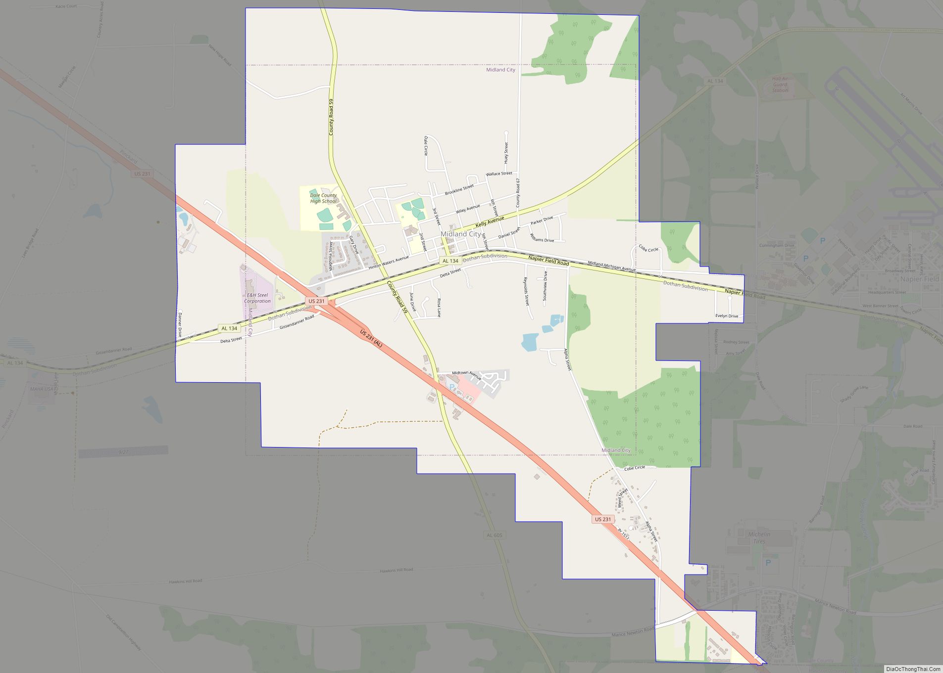
Ozark Road Map
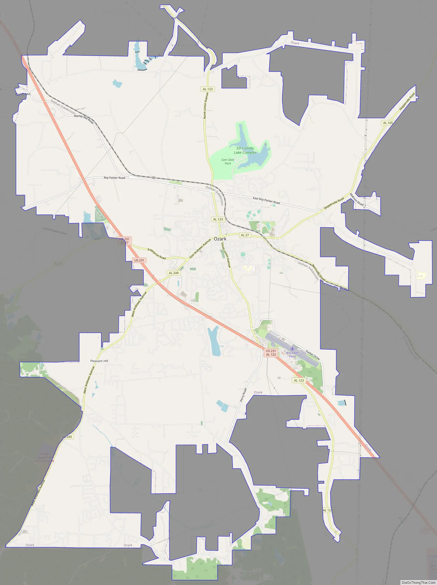
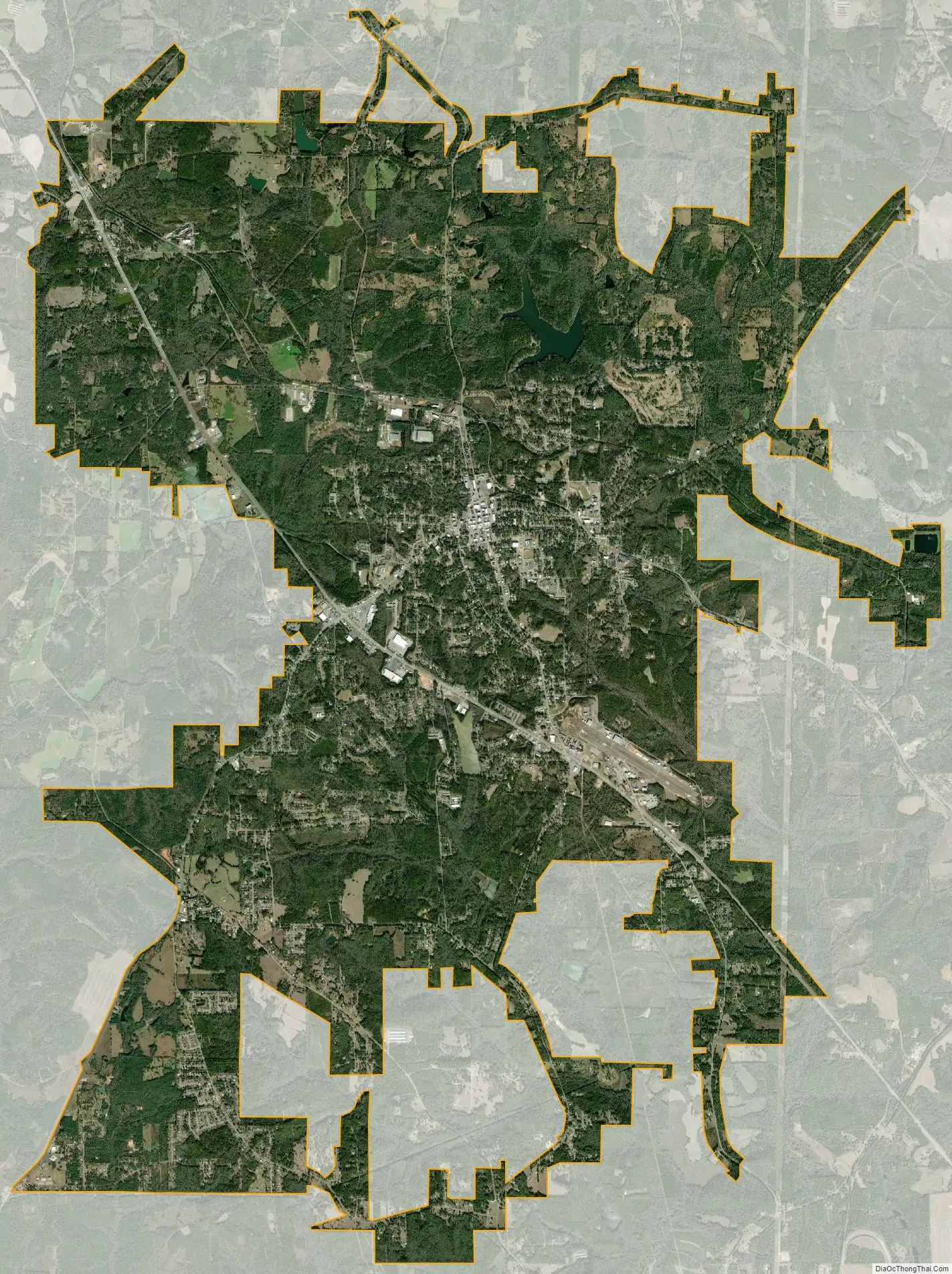
Ozark city Satellite Map
Geography
Ozark is located at 31°26′53″N 85°38′31″W / 31.44806°N 85.64194°W / 31.44806; -85.64194 (31.448169, -85.642009). It is part of the Wiregrass Region.
Major highways that run through the city include U.S. Route 231 and Alabama State Routes 27 and 249. US 231 runs northwest to southeast through the city, leading northwest 34 mi (55 km) to Troy and southeast 23 mi (37 km) to Dothan. SR 27 leads east 31 mi (50 km) to Abbeville and southwest 19 mi (31 km) to Enterprise.
According to the U.S. Census Bureau, the city has a total area of 34.5 square miles (89 km) of which 34.2 square miles (89 km) is land and 0.2 square miles (0.52 km) (0.70%) is water.
Climate
According to the Köppen climate classification, Ozark has a humid subtropical climate (abbreviated Cfa).
See also
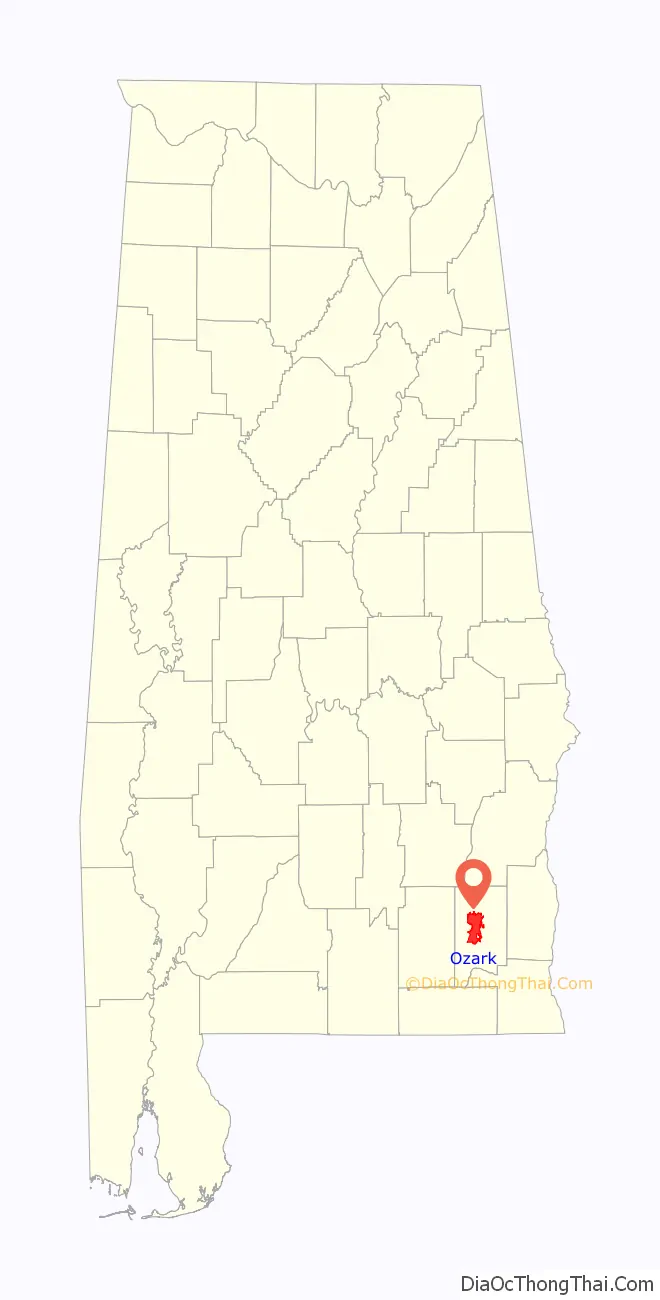
Map of Alabama State and its subdivision:- Autauga
- Baldwin
- Barbour
- Bibb
- Blount
- Bullock
- Butler
- Calhoun
- Chambers
- Cherokee
- Chilton
- Choctaw
- Clarke
- Clay
- Cleburne
- Coffee
- Colbert
- Conecuh
- Coosa
- Covington
- Crenshaw
- Cullman
- Dale
- Dallas
- De Kalb
- Elmore
- Escambia
- Etowah
- Fayette
- Franklin
- Geneva
- Greene
- Hale
- Henry
- Houston
- Jackson
- Jefferson
- Lamar
- Lauderdale
- Lawrence
- Lee
- Limestone
- Lowndes
- Macon
- Madison
- Marengo
- Marion
- Marshall
- Mobile
- Monroe
- Montgomery
- Morgan
- Perry
- Pickens
- Pike
- Randolph
- Russell
- Saint Clair
- Shelby
- Sumter
- Talladega
- Tallapoosa
- Tuscaloosa
- Walker
- Washington
- Wilcox
- Winston
- Alabama
- Alaska
- Arizona
- Arkansas
- California
- Colorado
- Connecticut
- Delaware
- District of Columbia
- Florida
- Georgia
- Hawaii
- Idaho
- Illinois
- Indiana
- Iowa
- Kansas
- Kentucky
- Louisiana
- Maine
- Maryland
- Massachusetts
- Michigan
- Minnesota
- Mississippi
- Missouri
- Montana
- Nebraska
- Nevada
- New Hampshire
- New Jersey
- New Mexico
- New York
- North Carolina
- North Dakota
- Ohio
- Oklahoma
- Oregon
- Pennsylvania
- Rhode Island
- South Carolina
- South Dakota
- Tennessee
- Texas
- Utah
- Vermont
- Virginia
- Washington
- West Virginia
- Wisconsin
- Wyoming