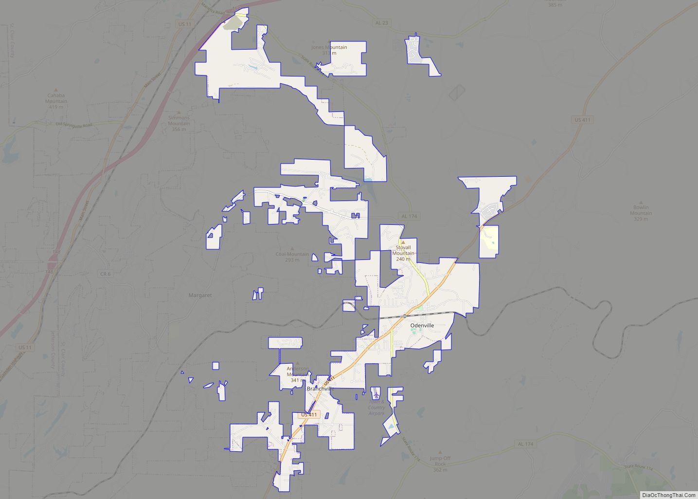
Odenville is a city in St. Clair County, Alabama, United States. It incorporated in 1914. At the 2010 census the population was 3,585, up from 1,131 in 2000. It annexed the former town of Branchville in 2007. Odenville annexed a portion of Springville in 2015 due to Springville not running water to some of its residences.
| Name: | Odenville town |
|---|---|
| LSAD Code: | 43 |
| LSAD Description: | town (suffix) |
| State: | Alabama |
| County: | St. Clair County |
| Elevation: | 748 ft (228 m) |
| Total Area: | 14.06 sq mi (36.42 km²) |
| Land Area: | 13.96 sq mi (36.17 km²) |
| Water Area: | 0.10 sq mi (0.25 km²) |
| Total Population: | 4,969 |
| Population Density: | 355.82/sq mi (137.38/km²) |
| ZIP code: | 35120 |
| Area code: | 205, 659 |
| FIPS code: | 0156400 |
| GNISfeature ID: | 0164791 |
| Website: | www.cityofodenville.net |
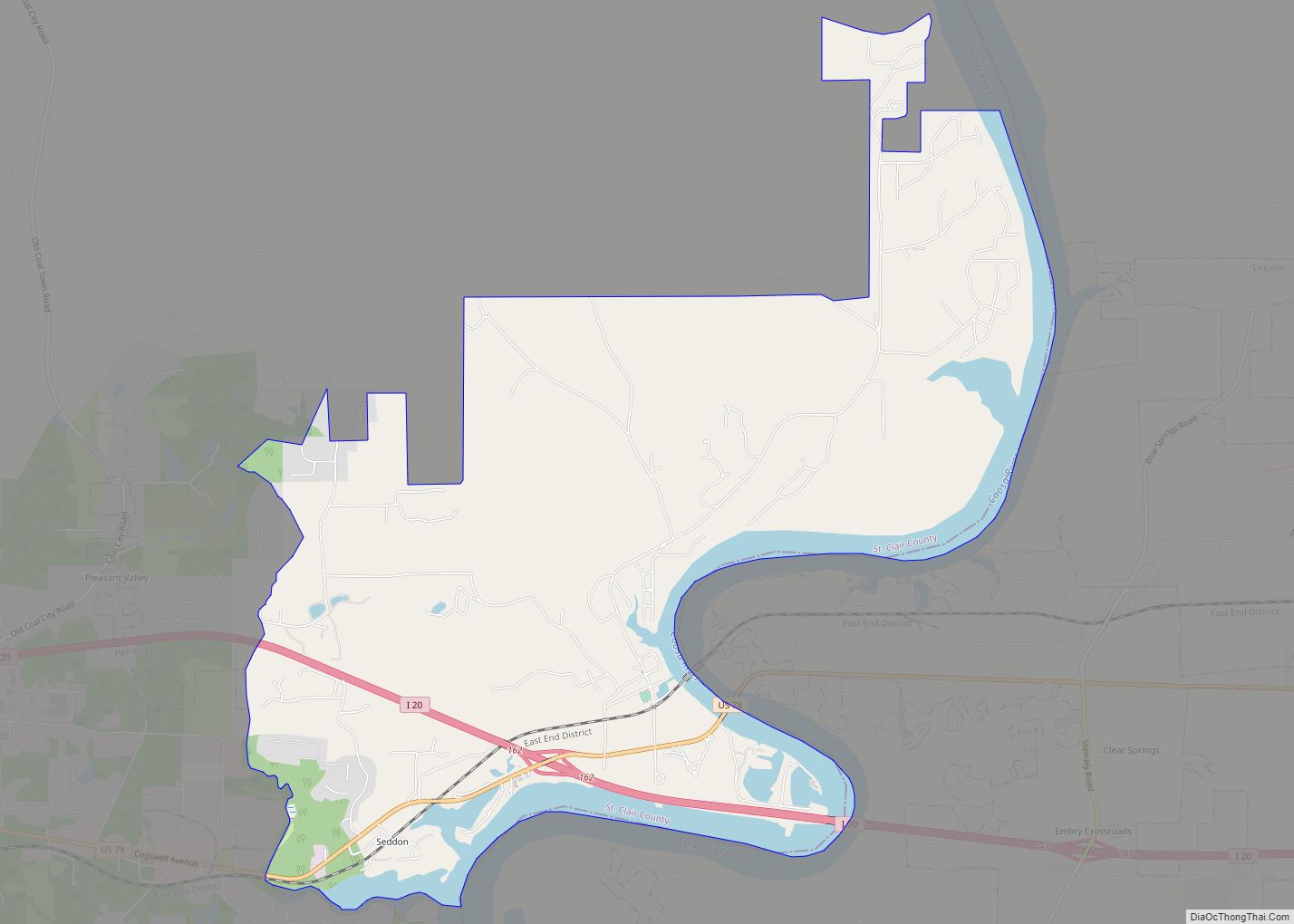
Online Interactive Map
Click on ![]() to view map in "full screen" mode.
to view map in "full screen" mode.
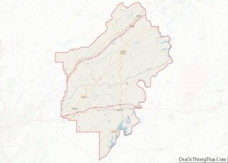
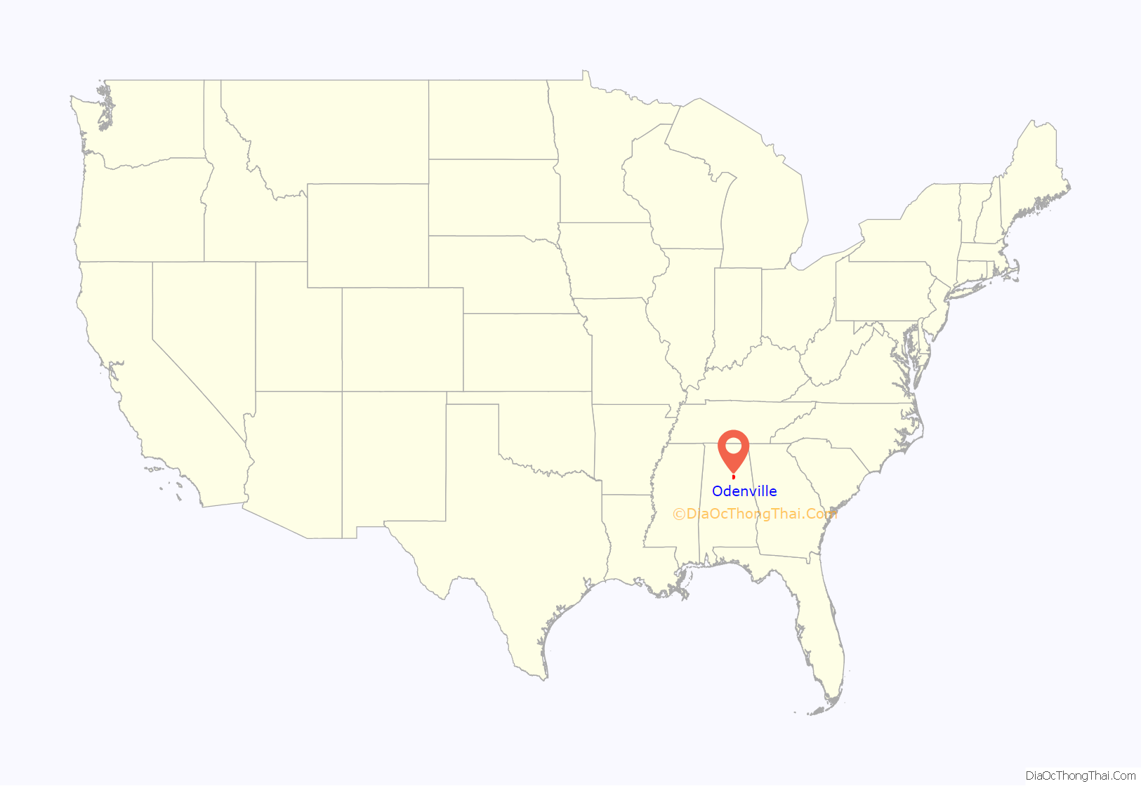
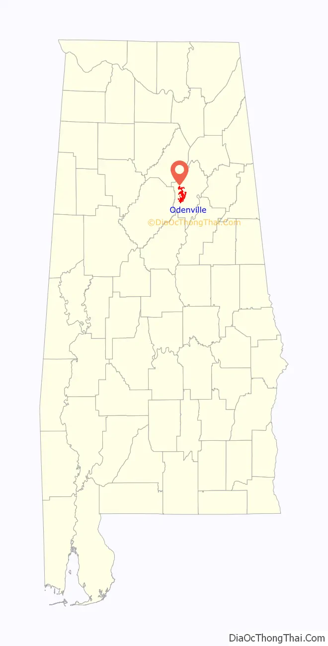
Odenville location map. Where is Odenville town?
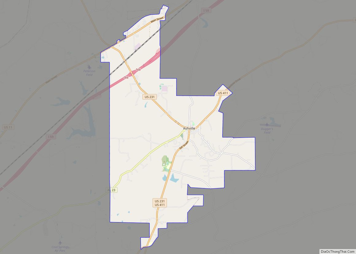
Odenville Road Map
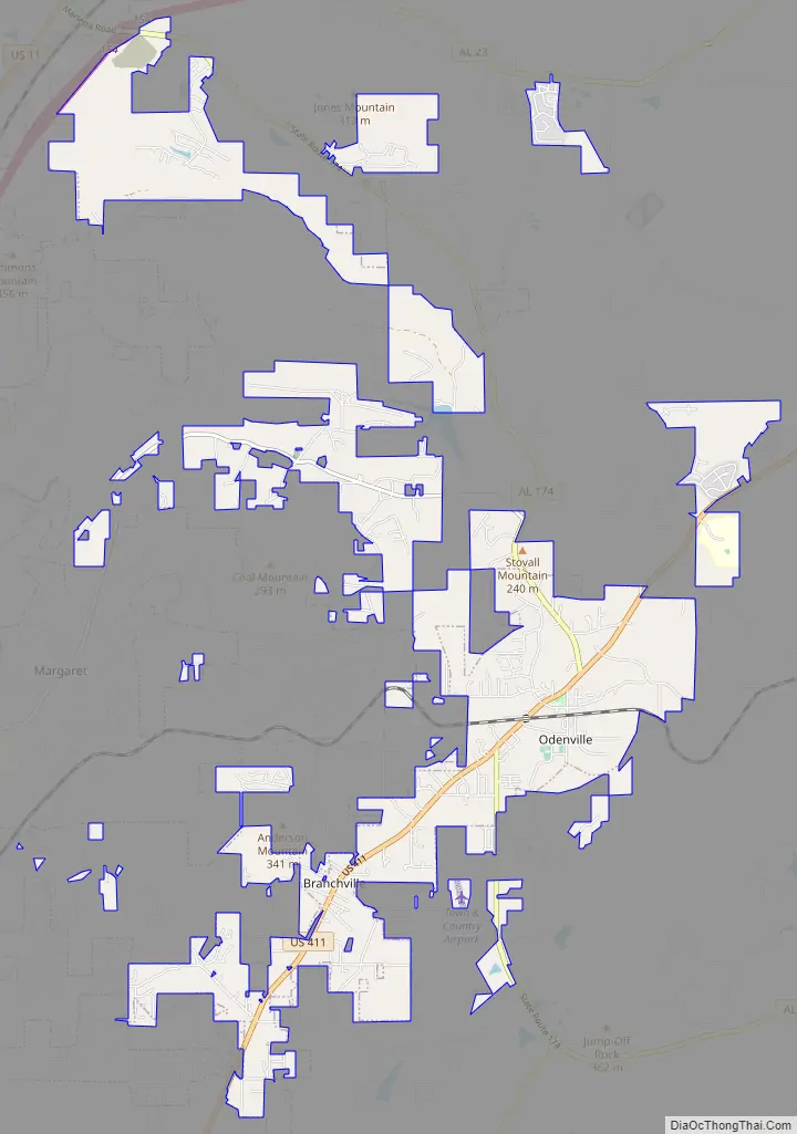
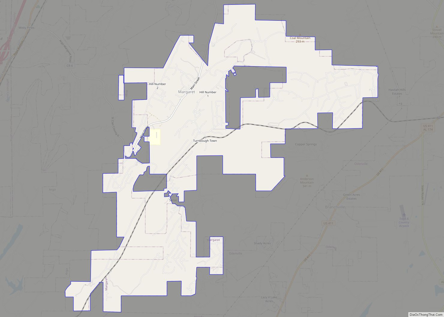
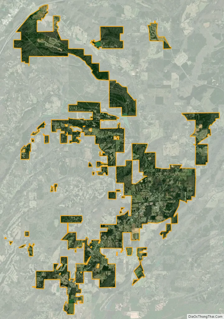
Odenville city Satellite Map
Geography
Odenville is located at 33°40′54″N 86°23′57″W / 33.68167°N 86.39917°W / 33.68167; -86.39917 (33.681762, -86.399295).
According to the U.S. Census Bureau, the town has a total area of 3.2 square miles (8.3 km), all land.
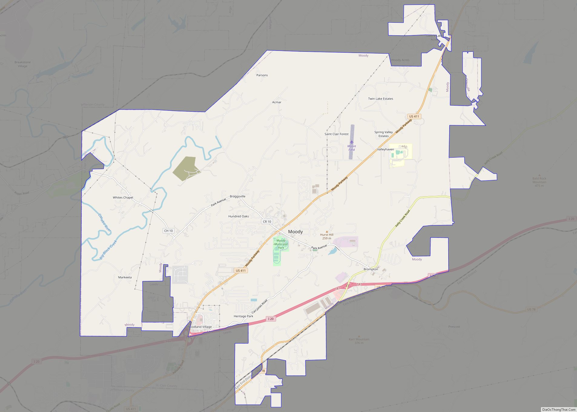
Odenville is located in St. Clair County and is minutes away from the cities of Birmingham and Trussville. Highway 411 transverses the town.
See also
Map of Alabama State and its subdivision:- Autauga
- Baldwin
- Barbour
- Bibb
- Blount
- Bullock
- Butler
- Calhoun
- Chambers
- Cherokee
- Chilton
- Choctaw
- Clarke
- Clay
- Cleburne
- Coffee
- Colbert
- Conecuh
- Coosa
- Covington
- Crenshaw
- Cullman
- Dale
- Dallas
- De Kalb
- Elmore
- Escambia
- Etowah
- Fayette
- Franklin
- Geneva
- Greene
- Hale
- Henry
- Houston
- Jackson
- Jefferson
- Lamar
- Lauderdale
- Lawrence
- Lee
- Limestone
- Lowndes
- Macon
- Madison
- Marengo
- Marion
- Marshall
- Mobile
- Monroe
- Montgomery
- Morgan
- Perry
- Pickens
- Pike
- Randolph
- Russell
- Saint Clair
- Shelby
- Sumter
- Talladega
- Tallapoosa
- Tuscaloosa
- Walker
- Washington
- Wilcox
- Winston
- Alabama
- Alaska
- Arizona
- Arkansas
- California
- Colorado
- Connecticut
- Delaware
- District of Columbia
- Florida
- Georgia
- Hawaii
- Idaho
- Illinois
- Indiana
- Iowa
- Kansas
- Kentucky
- Louisiana
- Maine
- Maryland
- Massachusetts
- Michigan
- Minnesota
- Mississippi
- Missouri
- Montana
- Nebraska
- Nevada
- New Hampshire
- New Jersey
- New Mexico
- New York
- North Carolina
- North Dakota
- Ohio
- Oklahoma
- Oregon
- Pennsylvania
- Rhode Island
- South Carolina
- South Dakota
- Tennessee
- Texas
- Utah
- Vermont
- Virginia
- Washington
- West Virginia
- Wisconsin
- Wyoming