Ohatchee (inc. 1956) is a town in Calhoun County, Alabama, United States. At the 2020 census, the population was 1,157. It is included in the Anniston–Oxford, Alabama Metropolitan Statistical Area.
| Name: | Ohatchee town |
|---|---|
| LSAD Code: | 43 |
| LSAD Description: | town (suffix) |
| State: | Alabama |
| County: | Calhoun County |
| Elevation: | 509 ft (155 m) |
| Total Area: | 5.92 sq mi (15.34 km²) |
| Land Area: | 5.88 sq mi (15.22 km²) |
| Water Area: | 0.05 sq mi (0.12 km²) |
| Total Population: | 1,157 |
| Population Density: | 196.90/sq mi (76.02/km²) |
| ZIP code: | 36271 |
| Area code: | 256 |
| FIPS code: | 0156472 |
| GNISfeature ID: | 0124185 |
| Website: | http://www.ohatchee.info |
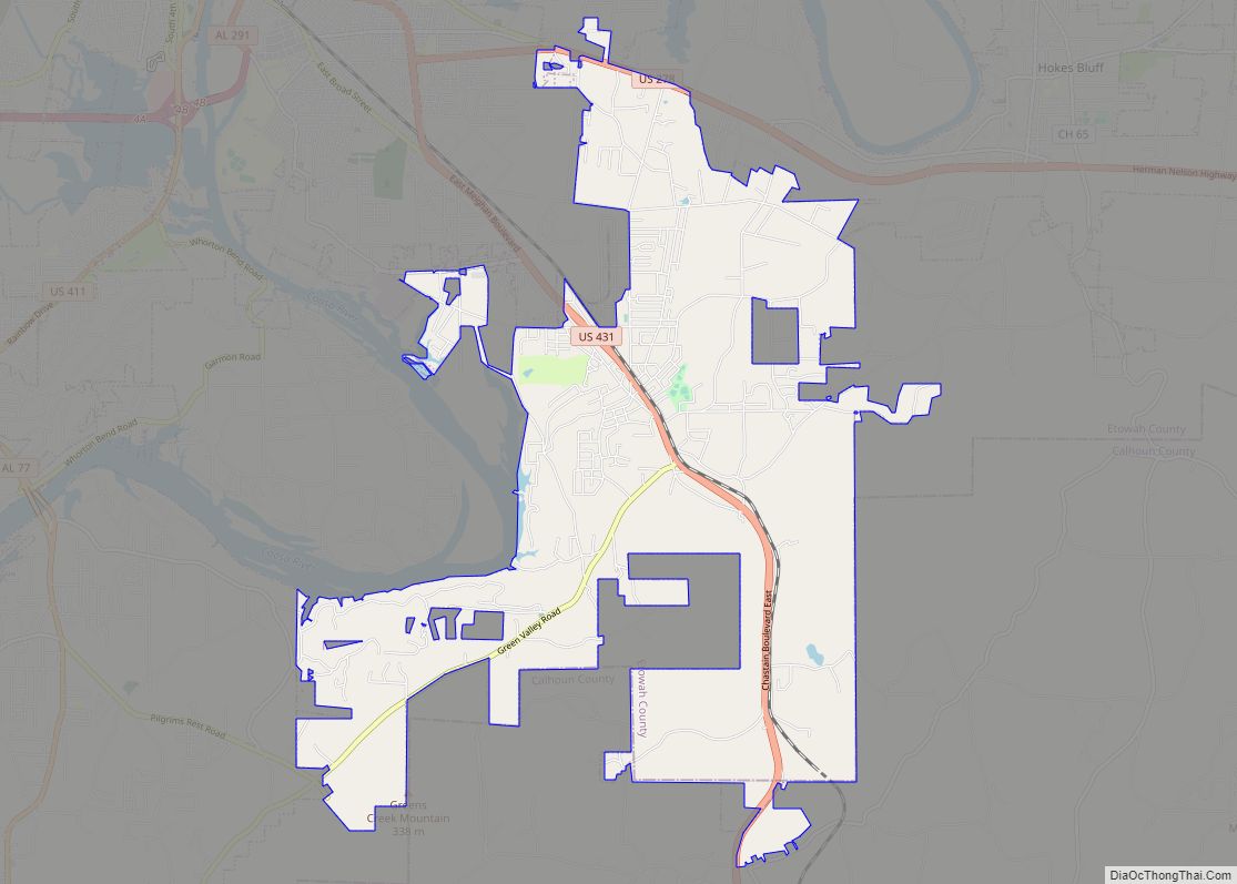
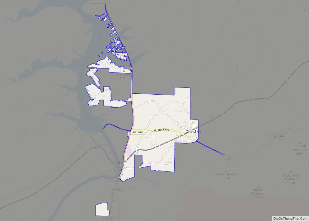
Online Interactive Map
Click on ![]() to view map in "full screen" mode.
to view map in "full screen" mode.
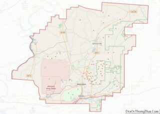
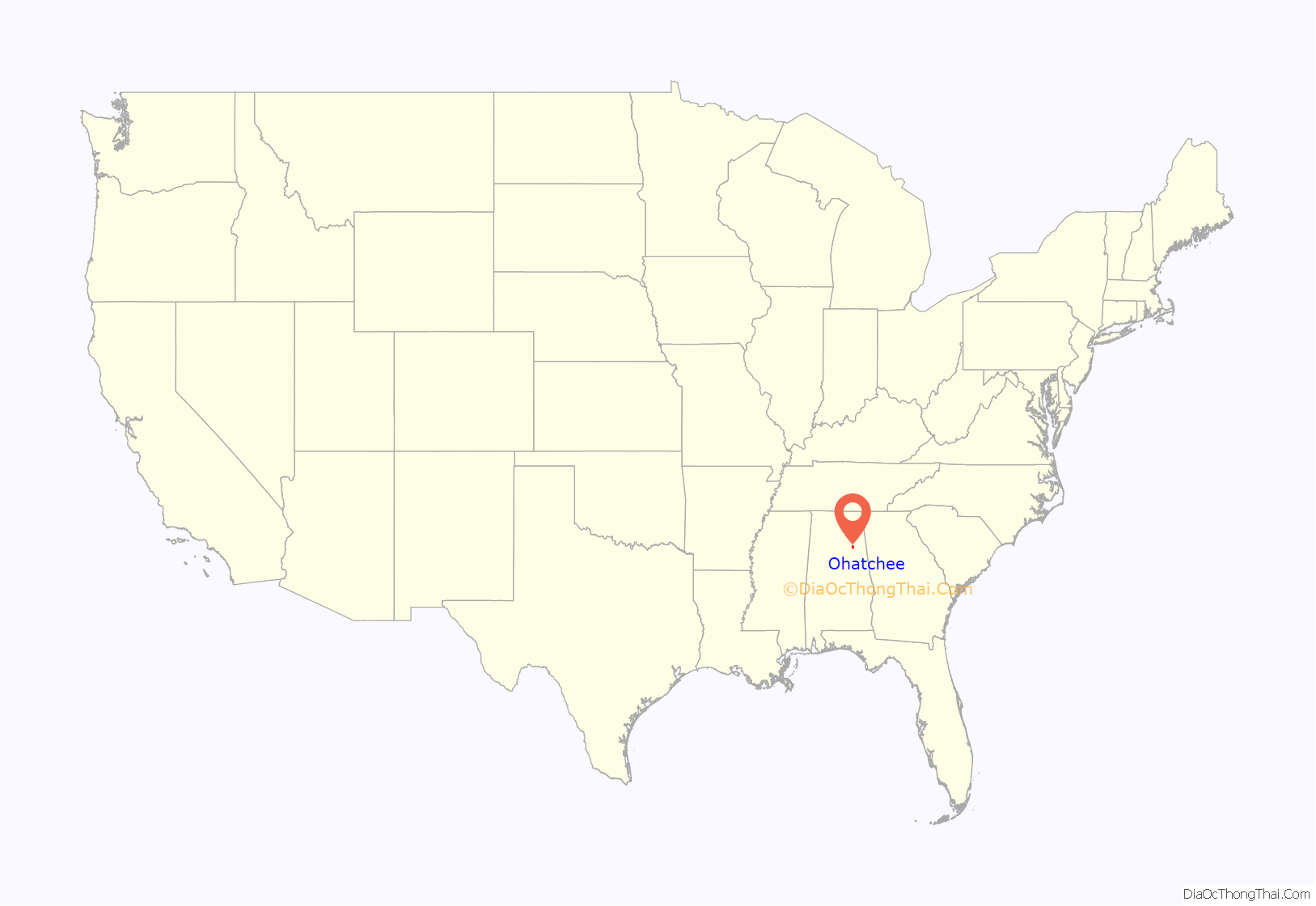
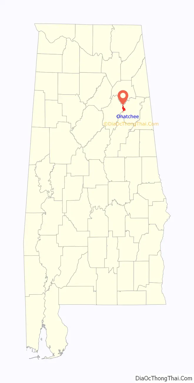
Ohatchee location map. Where is Ohatchee town?
History
Andrew Jackson used the area around present-day Ohatchee to prepare for the Battle of Talladega. It was at this battle that Jackson found an Indian boy next to the body of his mother. Jackson adopted the child, naming him Lyncoya Jackson. Lyncoya died of tuberculosis in 1828 at the age of sixteen. The site of the battle is marked with a large stone marker along Alabama Highway 144 between Alexandria and Ohatchee, near Tallaseehatchee Creek.
Between 1863 and 1864, Alfred A. Janney built a furnace, now named Janney Furnace, to produce pig iron for the Confederate States of America during the Civil War. The furnace never went into production, but locals often speak of the quality of the construction because the structure was supposedly built by slaves. The site is now a part of the Calhoun County Park System and features a Civil War memorial alongside a Civil War and Native American museum. The site hosts a town festival every year that includes vendors, children’s activities, music, and a Civil War reenactment.
Ohatchee became an incorporated town in 1956. On March 25, 2021, an EF3 tornado struck the town, killing six residents.
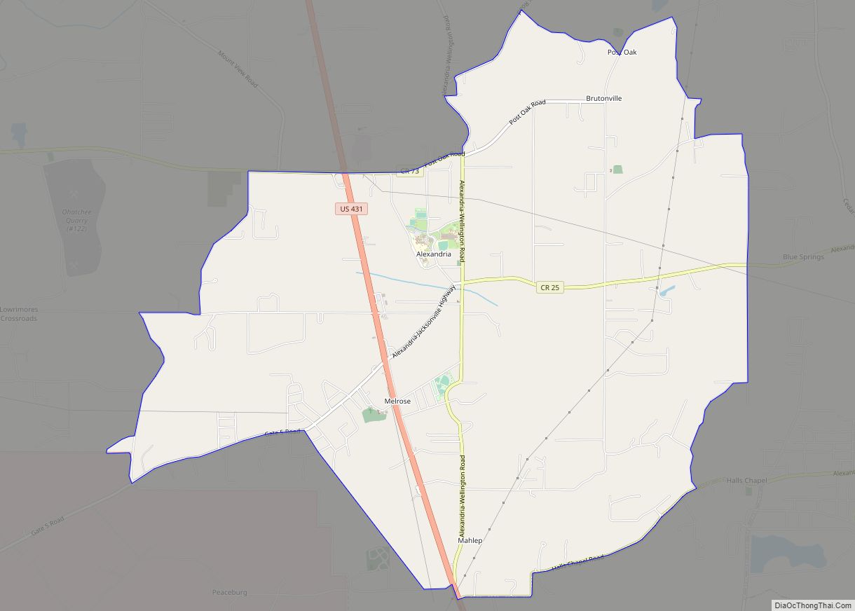
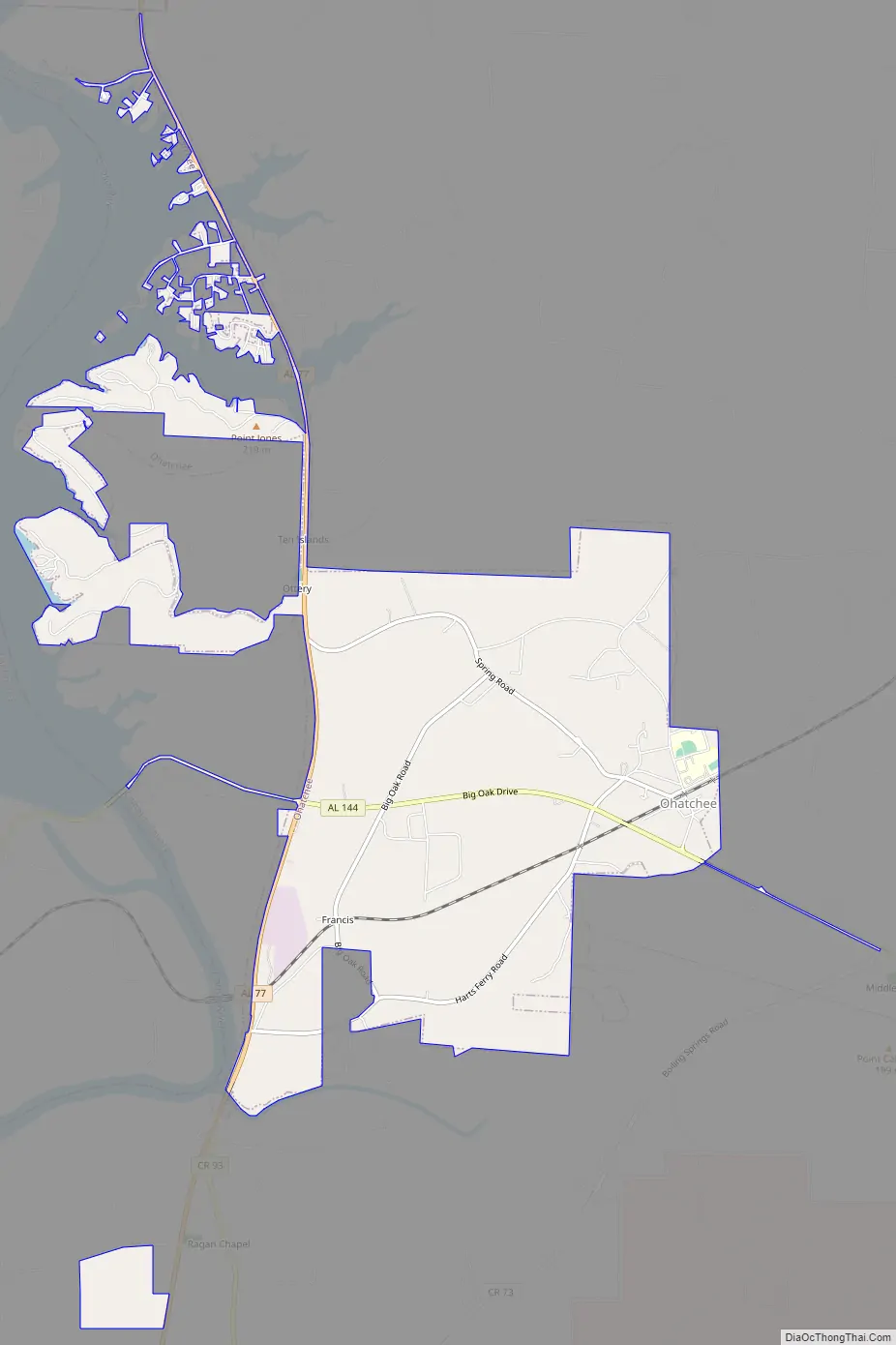
Ohatchee Road Map
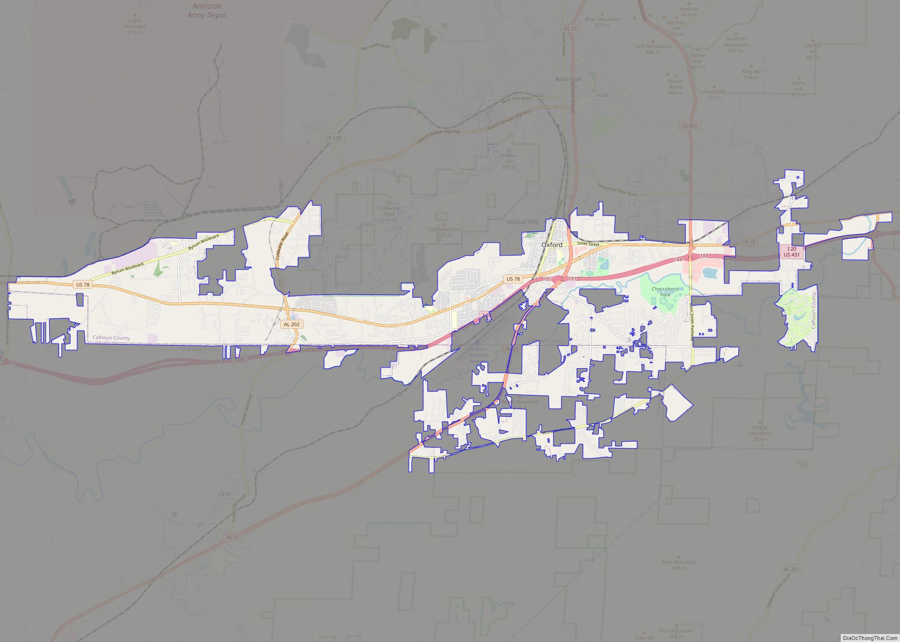
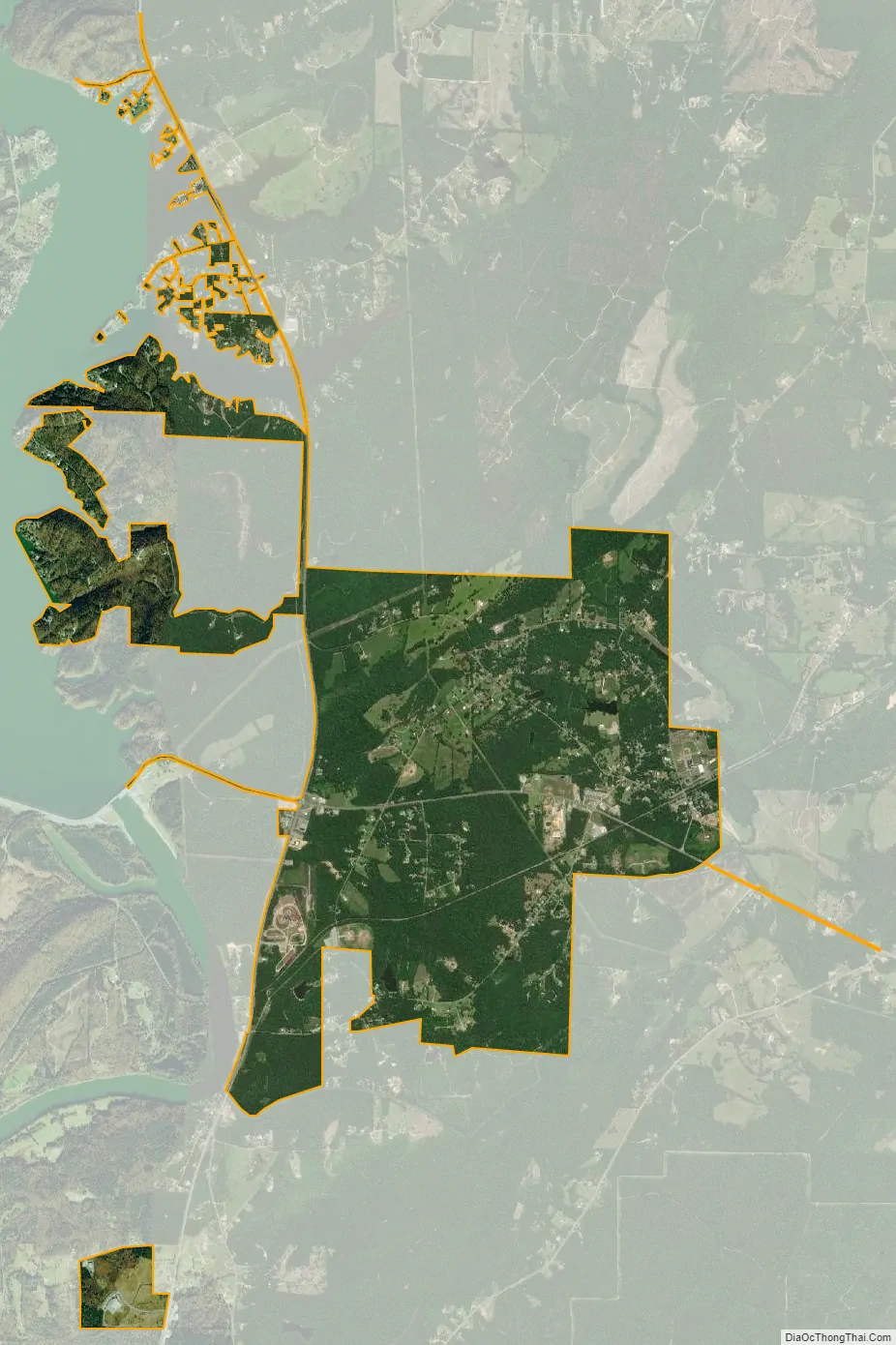
Ohatchee city Satellite Map
Geography
Ohatchee is located in western Calhoun County at 33°48’10.944″ North, 86°2’11.864″ West (33.803040, -86.036629). The town center lies just north of the confluence of Tallaseehatchee Creek with Ohatchee Creek, a tributary of the Coosa River. A northwest extension of the town limits reaches to the shores of the Coosa River along Neely Henry Lake.
According to the U.S. Census Bureau, the town has a total area of 5.9 square miles (15.4 km), of which 5.9 square miles (15.3 km) is land and 0.039 square miles (0.1 km), or 0.69%, is water.
See also
Map of Alabama State and its subdivision:- Autauga
- Baldwin
- Barbour
- Bibb
- Blount
- Bullock
- Butler
- Calhoun
- Chambers
- Cherokee
- Chilton
- Choctaw
- Clarke
- Clay
- Cleburne
- Coffee
- Colbert
- Conecuh
- Coosa
- Covington
- Crenshaw
- Cullman
- Dale
- Dallas
- De Kalb
- Elmore
- Escambia
- Etowah
- Fayette
- Franklin
- Geneva
- Greene
- Hale
- Henry
- Houston
- Jackson
- Jefferson
- Lamar
- Lauderdale
- Lawrence
- Lee
- Limestone
- Lowndes
- Macon
- Madison
- Marengo
- Marion
- Marshall
- Mobile
- Monroe
- Montgomery
- Morgan
- Perry
- Pickens
- Pike
- Randolph
- Russell
- Saint Clair
- Shelby
- Sumter
- Talladega
- Tallapoosa
- Tuscaloosa
- Walker
- Washington
- Wilcox
- Winston
- Alabama
- Alaska
- Arizona
- Arkansas
- California
- Colorado
- Connecticut
- Delaware
- District of Columbia
- Florida
- Georgia
- Hawaii
- Idaho
- Illinois
- Indiana
- Iowa
- Kansas
- Kentucky
- Louisiana
- Maine
- Maryland
- Massachusetts
- Michigan
- Minnesota
- Mississippi
- Missouri
- Montana
- Nebraska
- Nevada
- New Hampshire
- New Jersey
- New Mexico
- New York
- North Carolina
- North Dakota
- Ohio
- Oklahoma
- Oregon
- Pennsylvania
- Rhode Island
- South Carolina
- South Dakota
- Tennessee
- Texas
- Utah
- Vermont
- Virginia
- Washington
- West Virginia
- Wisconsin
- Wyoming