Owens Cross Roads is a city in Madison County, Alabama, United States, and is included in the Huntsville-Decatur Combined Statistical Area. It was incorporated in 1967. As of the 2020 census, the population of the city was 2,594. The City has a mayor-council form of government.
| Name: | Owens Cross Roads town |
|---|---|
| LSAD Code: | 43 |
| LSAD Description: | town (suffix) |
| State: | Alabama |
| County: | Madison County |
| Elevation: | 584 ft (178 m) |
| Total Area: | 8.45 sq mi (21.89 km²) |
| Land Area: | 8.33 sq mi (21.58 km²) |
| Water Area: | 0.12 sq mi (0.31 km²) |
| Total Population: | 2,594 |
| Population Density: | 311.33/sq mi (120.20/km²) |
| ZIP code: | 35763 |
| Area code: | 256 |
| FIPS code: | 0157504 |
| GNISfeature ID: | 2407060 |
| Website: | OwensCrossRoadsAL.gov |
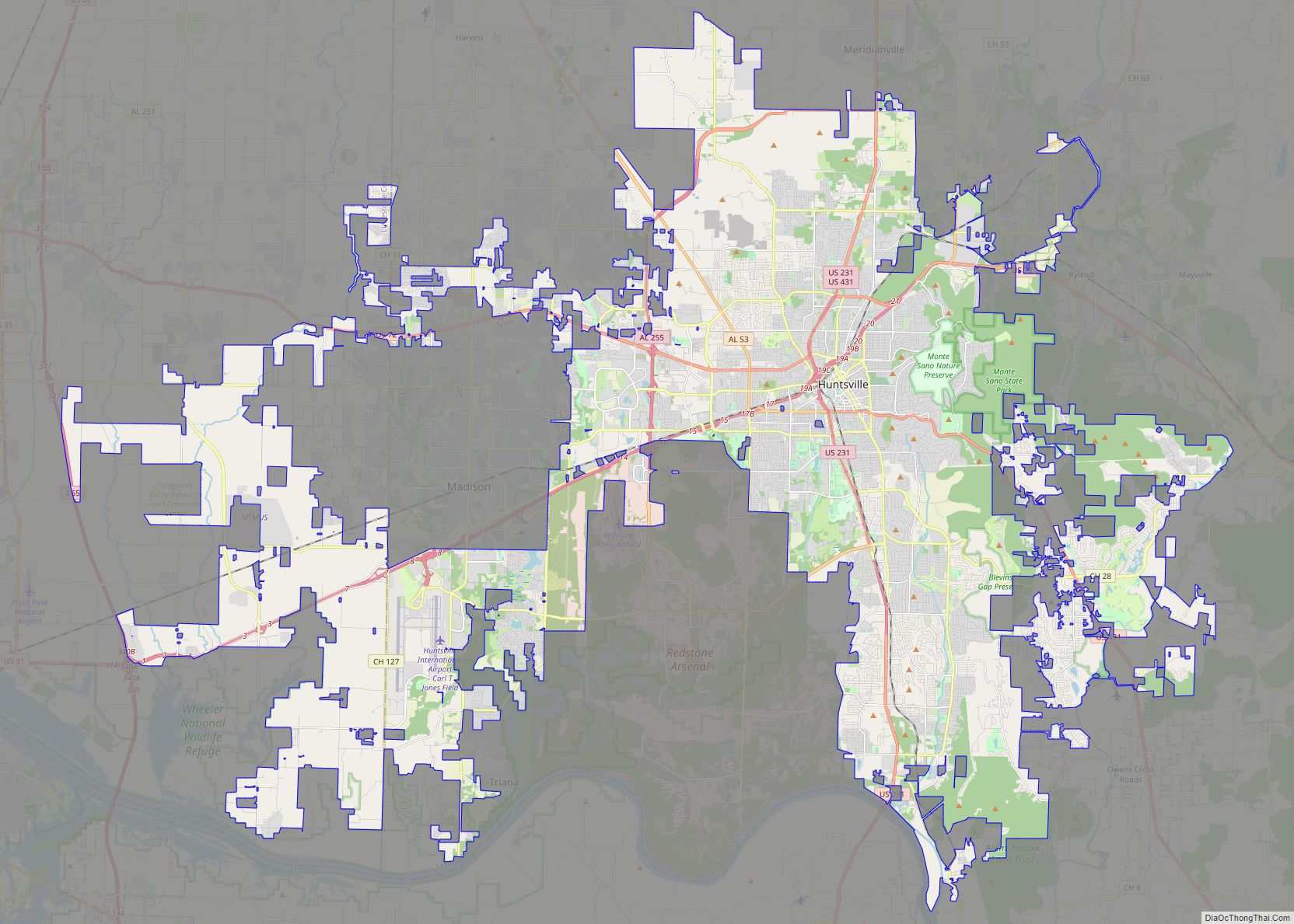
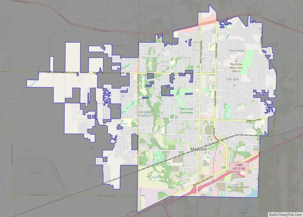
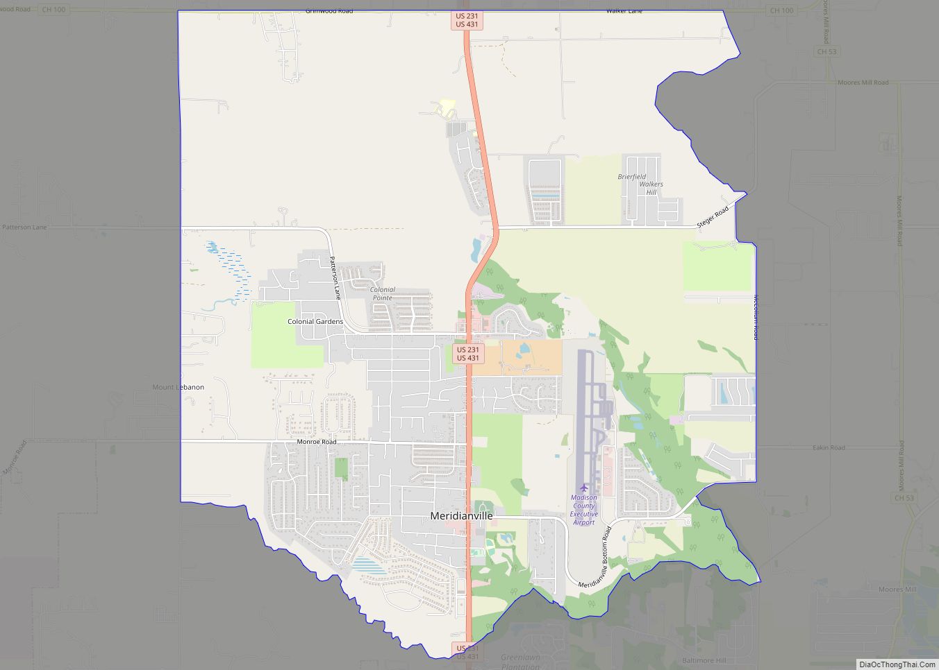
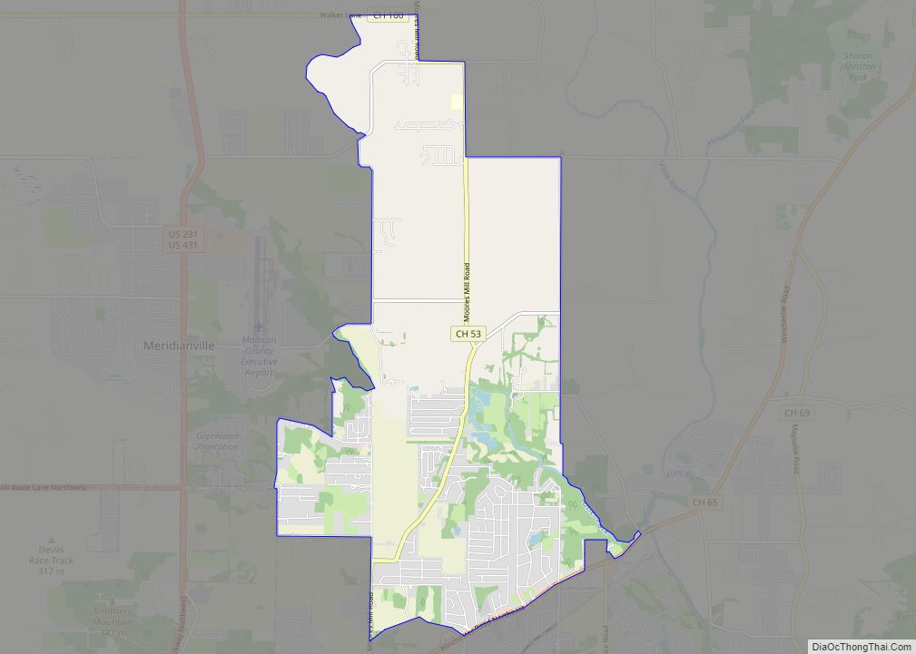
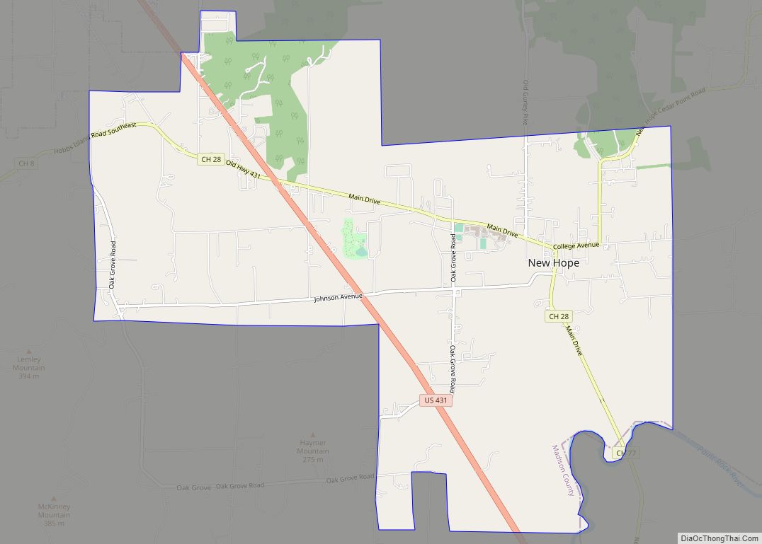
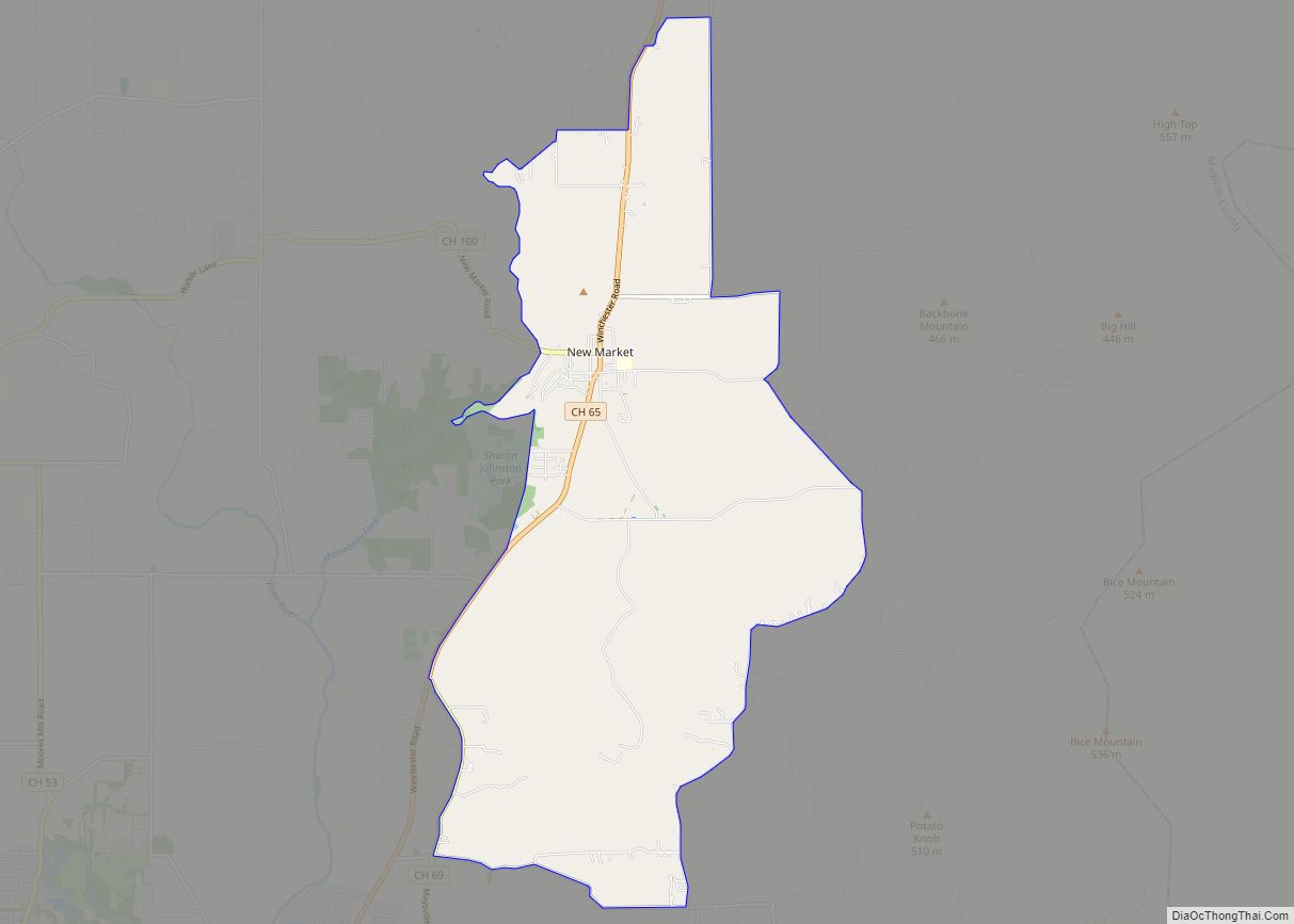
Online Interactive Map
Click on ![]() to view map in "full screen" mode.
to view map in "full screen" mode.
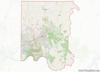
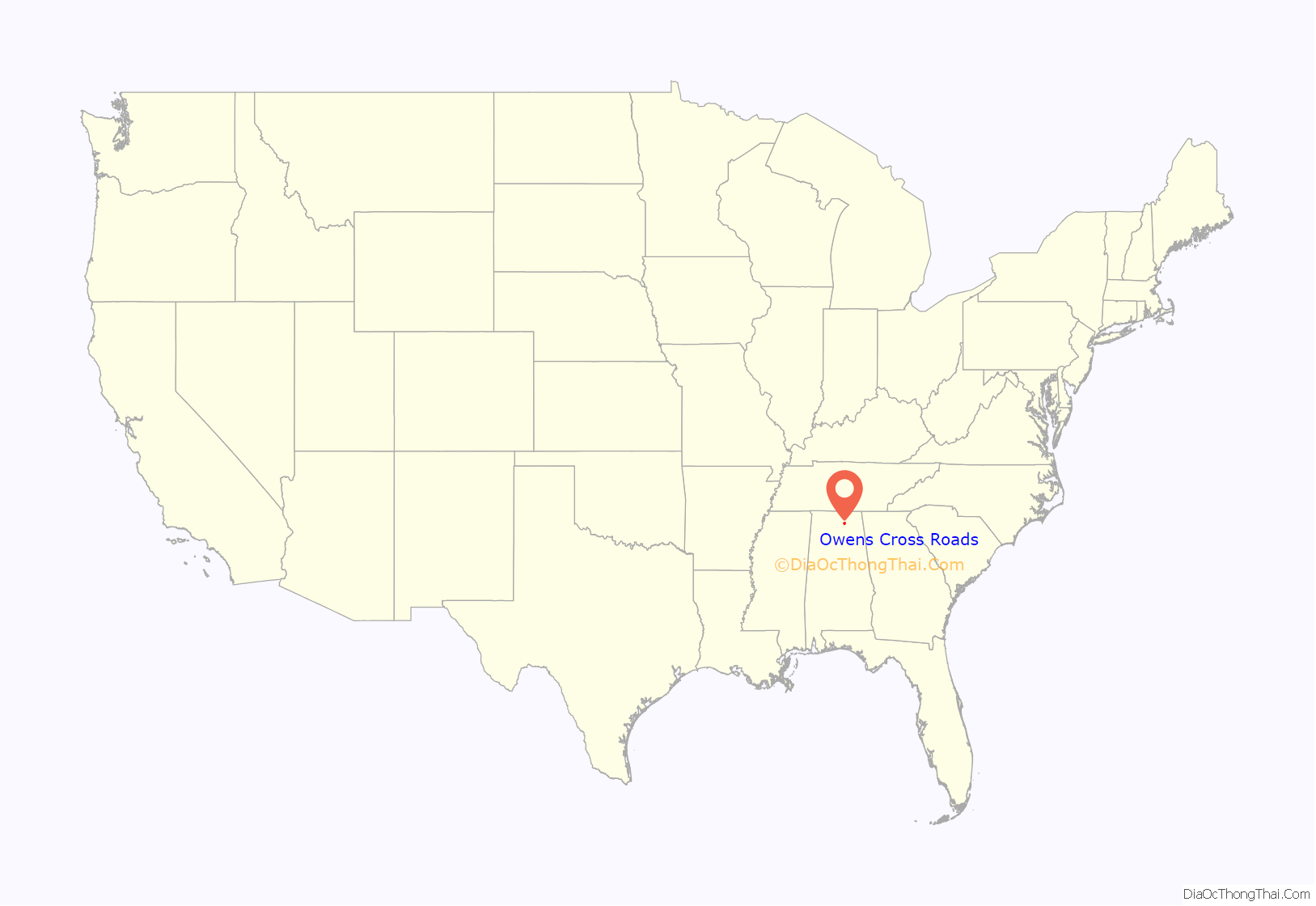
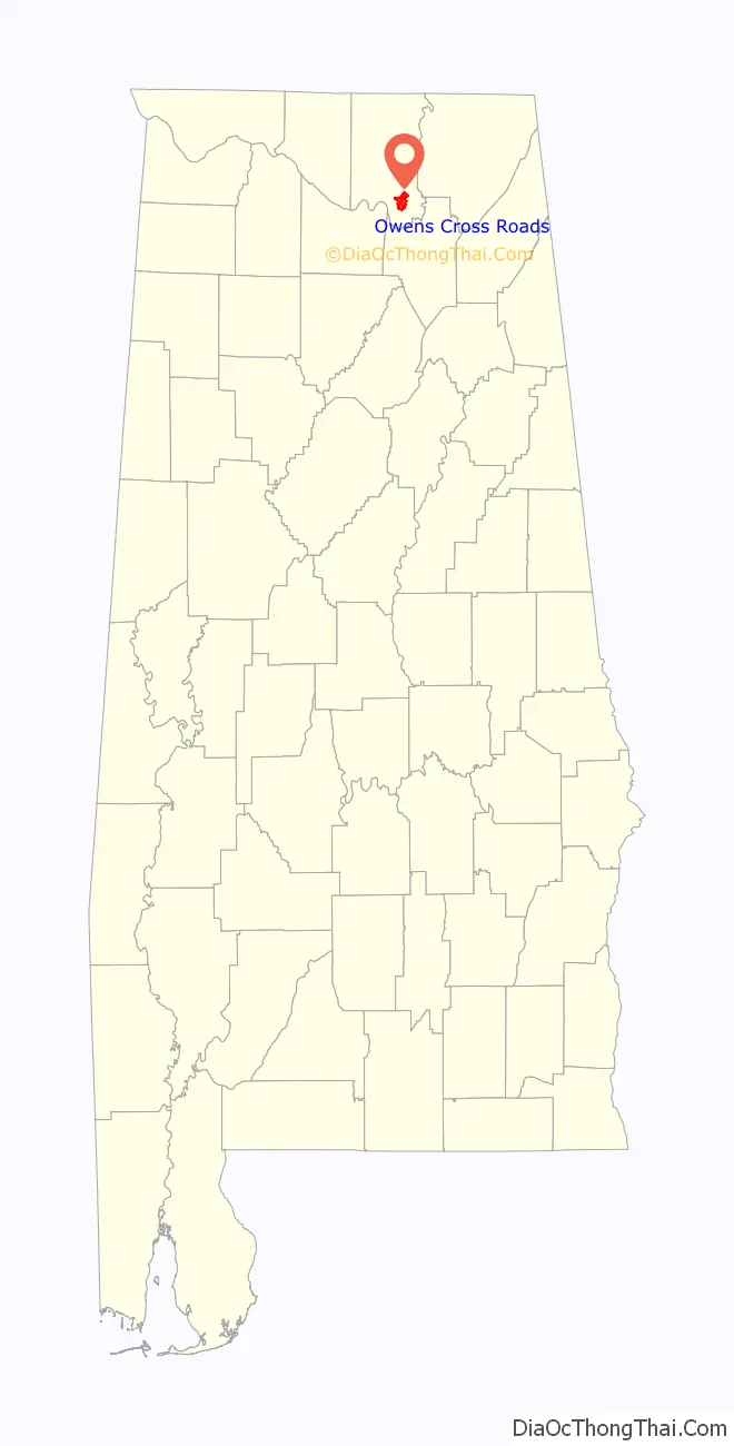
Owens Cross Roads location map. Where is Owens Cross Roads town?
History
The area has a history that can be dated back to the early 1800’s. Pioneers had drifted into the area from Tennessee, Virginia, North Carolina, South Carolina and Georgia with names such as Wood, Parker, Craig, Craft, Maples, Carpenter and Brannum, but a gentleman named Thomas J. Owens had migrated from Virginia and was the first to build his family home near an intersection of two roads.
The name Owens Cross Roads was very appropriately chosen since the Owens home was at “the cross roads”. The community grew in size at a steady pace over the years as a large frame business house was erected near the intersection, containing a post office (established 1861), general store and blacksmith shop. Owens Cross Roads first appeared on maps in 1850.
Following the Civil War, the population grew as businesses sprang up and a new school was erected to replace the original log schoolhouse. With the turn of the 20th century came new growth to the neighboring towns of Huntsville and Guntersville, making Owens Cross Roads a welcome stop for travelers between the two larger towns. The town relied heavily on cotton cultivation throughout much of its early history, with some crop diversification coming in the 1920s and 1930s.
Incorporation
Incorporated in 1967, the Owens Cross Roads City Hall sits facing Highway 431 South, a busy corridor of modern life. The city proudly boasts of having the first Blue Ribbon School in Madison County, a highly praised Volunteer Fire Department and a Police Department dedicated to serve and protect the citizens of Owens Cross Roads.
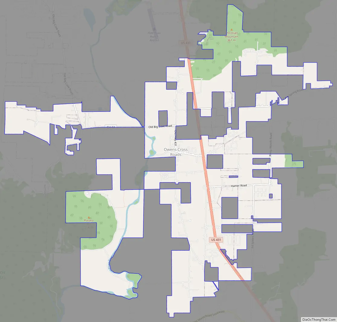
Owens Cross Roads Road Map
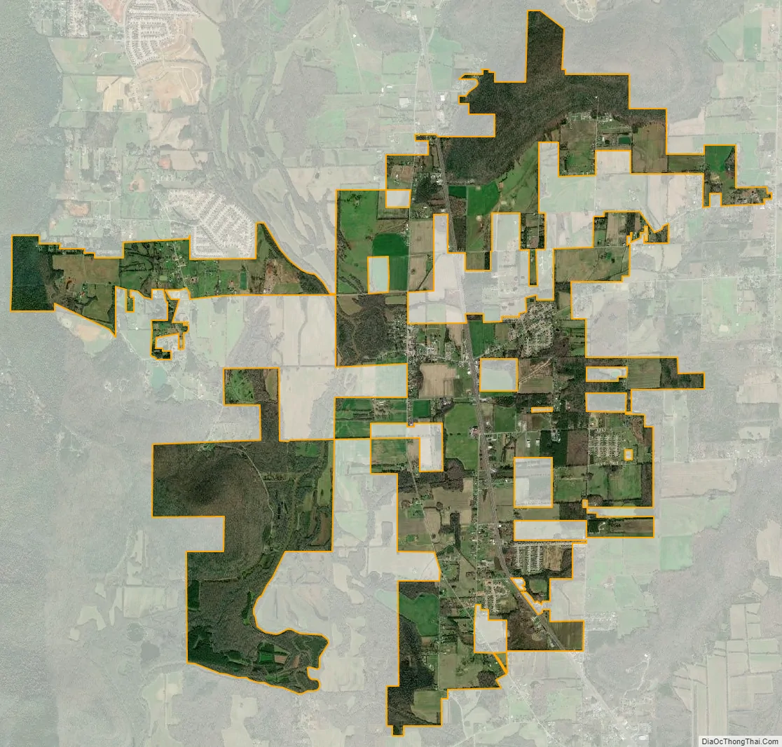
Owens Cross Roads city Satellite Map
Geography
Owens Cross Roads is located at 34°35′10″N 86°27′31″W / 34.58611°N 86.45861°W / 34.58611; -86.45861 (34.586071, -86.458561). The city is situated in a broad valley carved by the Flint River. Rugged hills and mountains surround the town, including Green Mountain to the west, and Keel Mountain to the east. Huntsville lies across Green Mountain to the northwest, New Hope lies just to the southeast, and Paint Rock lies across Keel Mountain to the northeast. U.S. Route 431 passes through Owens Cross Roads, connecting the town with Huntsville and Guntersville. Owens Cross Roads met the threshold to become a city in 2020 with the population exceeding 2,000 persons under Alabama law
According to the U.S. Census Bureau, the town has a total area of 8.4 square miles (21.8 km), of which 8.3 square miles (21.5 km) is land and 0.12 square miles (0.3 km), or 1.42%, is water.
See also
Map of Alabama State and its subdivision:- Autauga
- Baldwin
- Barbour
- Bibb
- Blount
- Bullock
- Butler
- Calhoun
- Chambers
- Cherokee
- Chilton
- Choctaw
- Clarke
- Clay
- Cleburne
- Coffee
- Colbert
- Conecuh
- Coosa
- Covington
- Crenshaw
- Cullman
- Dale
- Dallas
- De Kalb
- Elmore
- Escambia
- Etowah
- Fayette
- Franklin
- Geneva
- Greene
- Hale
- Henry
- Houston
- Jackson
- Jefferson
- Lamar
- Lauderdale
- Lawrence
- Lee
- Limestone
- Lowndes
- Macon
- Madison
- Marengo
- Marion
- Marshall
- Mobile
- Monroe
- Montgomery
- Morgan
- Perry
- Pickens
- Pike
- Randolph
- Russell
- Saint Clair
- Shelby
- Sumter
- Talladega
- Tallapoosa
- Tuscaloosa
- Walker
- Washington
- Wilcox
- Winston
- Alabama
- Alaska
- Arizona
- Arkansas
- California
- Colorado
- Connecticut
- Delaware
- District of Columbia
- Florida
- Georgia
- Hawaii
- Idaho
- Illinois
- Indiana
- Iowa
- Kansas
- Kentucky
- Louisiana
- Maine
- Maryland
- Massachusetts
- Michigan
- Minnesota
- Mississippi
- Missouri
- Montana
- Nebraska
- Nevada
- New Hampshire
- New Jersey
- New Mexico
- New York
- North Carolina
- North Dakota
- Ohio
- Oklahoma
- Oregon
- Pennsylvania
- Rhode Island
- South Carolina
- South Dakota
- Tennessee
- Texas
- Utah
- Vermont
- Virginia
- Washington
- West Virginia
- Wisconsin
- Wyoming