Susan Moore is a town in Blount County, Alabama, United States. At the 2020 census, the population was 787. It is one of two towns in Alabama to have the first and last name of an individual; the other is Phil Campbell.
| Name: | Susan Moore town |
|---|---|
| LSAD Code: | 43 |
| LSAD Description: | town (suffix) |
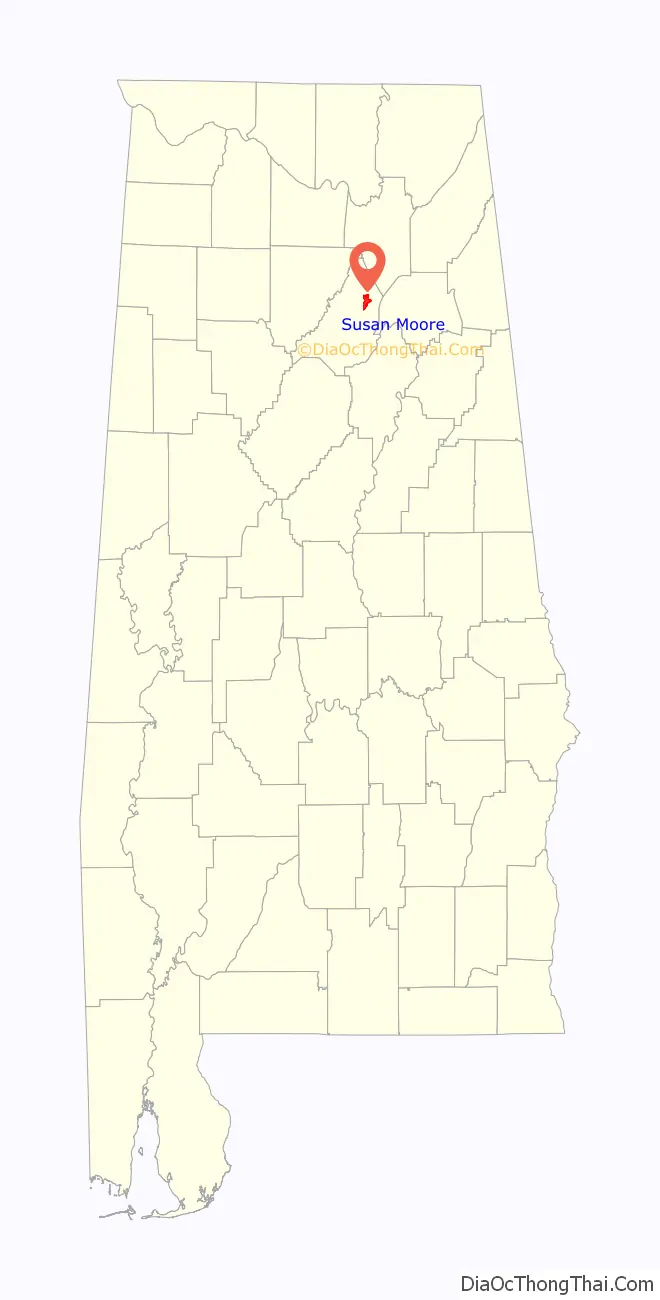
| State: | Alabama |
| County: | Blount County |
| Elevation: | 784 ft (239 m) |
| Total Area: | 5.43 sq mi (14.06 km²) |
| Land Area: | 5.41 sq mi (14.01 km²) |
| Water Area: | 0.02 sq mi (0.05 km²) |
| Total Population: | 787 |
| Population Density: | 145.53/sq mi (56.19/km²) |
| FIPS code: | 0174160 |
| GNISfeature ID: | 0116169 |
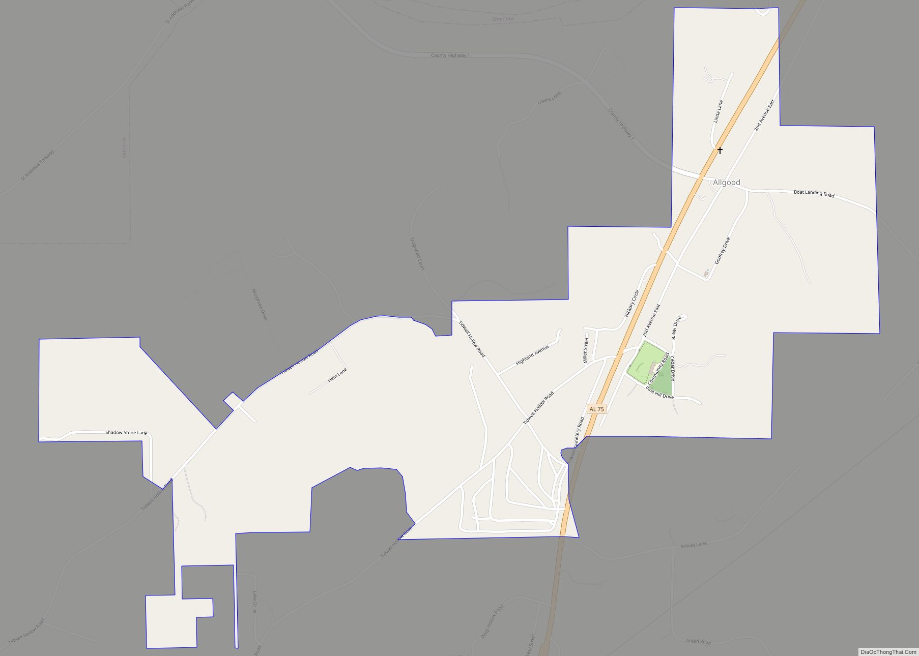
Online Interactive Map
Click on ![]() to view map in "full screen" mode.
to view map in "full screen" mode.
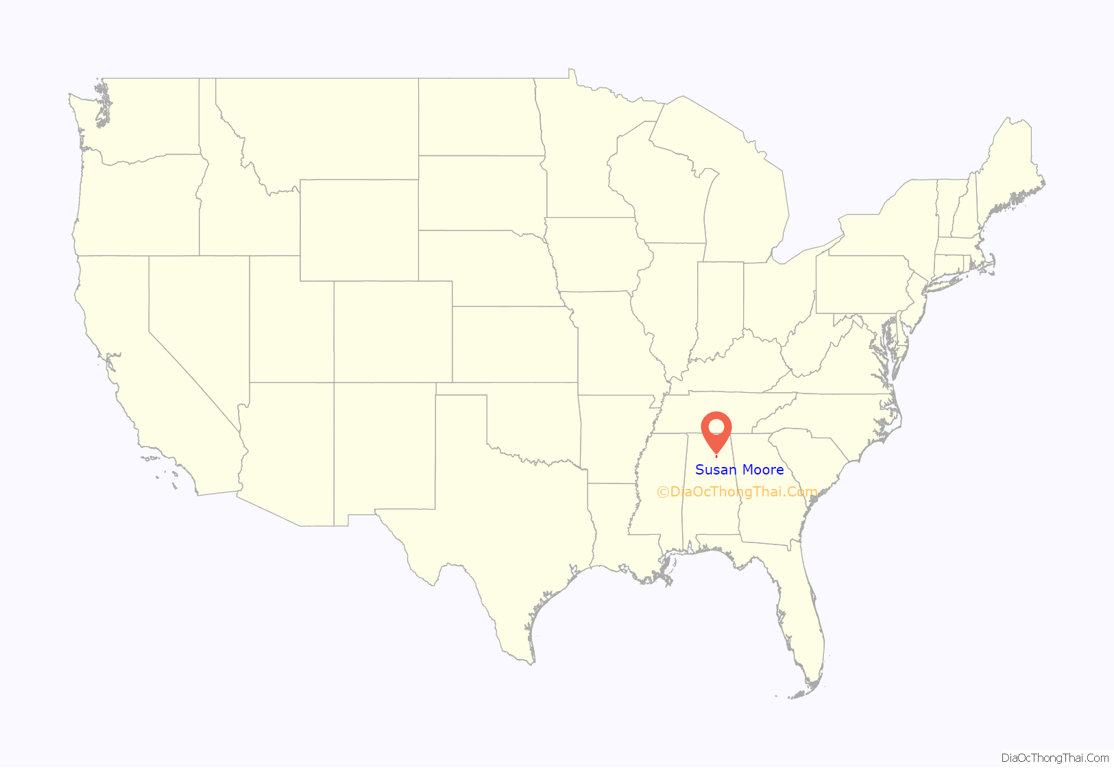
Susan Moore location map. Where is Susan Moore town?
History
Initially known as “Clarence,” what is now Susan Moore was settled by Robert M. Moore and his family in the mid-1860s. In 1923, two of Moore’s grandsons donated land for a new school, which was named after their mother, Susan Moore, and the community gradually adopted this name. The town incorporated in 1982.
Susan Moore Road Map
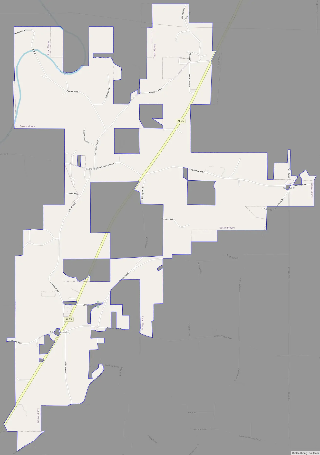
Susan Moore city Satellite Map

Geography
Susan Moore is located in northeastern Blount County at 34°4’54.617″ North, 86°25’10.247″ West (34.081838, -86.419513), in the Sand Mountain region of Alabama. State Highway 75 passes through the center of the town, leading southwest 10 miles (16 km) to Oneonta, the county seat, and northeast 18 miles (29 km) to Albertville. The Locust Fork of the Black Warrior River flows through the northwest corner of the town.
According to the U.S. Census Bureau, the town has a total area of 5.3 square miles (13.6 km), of which 0.015 square miles (0.04 km), or 0.31%, is water.
See also
Map of Alabama State and its subdivision:- Autauga
- Baldwin
- Barbour
- Bibb
- Blount
- Bullock
- Butler
- Calhoun
- Chambers
- Cherokee
- Chilton
- Choctaw
- Clarke
- Clay
- Cleburne
- Coffee
- Colbert
- Conecuh
- Coosa
- Covington
- Crenshaw
- Cullman
- Dale
- Dallas
- De Kalb
- Elmore
- Escambia
- Etowah
- Fayette
- Franklin
- Geneva
- Greene
- Hale
- Henry
- Houston
- Jackson
- Jefferson
- Lamar
- Lauderdale
- Lawrence
- Lee
- Limestone
- Lowndes
- Macon
- Madison
- Marengo
- Marion
- Marshall
- Mobile
- Monroe
- Montgomery
- Morgan
- Perry
- Pickens
- Pike
- Randolph
- Russell
- Saint Clair
- Shelby
- Sumter
- Talladega
- Tallapoosa
- Tuscaloosa
- Walker
- Washington
- Wilcox
- Winston
- Alabama
- Alaska
- Arizona
- Arkansas
- California
- Colorado
- Connecticut
- Delaware
- District of Columbia
- Florida
- Georgia
- Hawaii
- Idaho
- Illinois
- Indiana
- Iowa
- Kansas
- Kentucky
- Louisiana
- Maine
- Maryland
- Massachusetts
- Michigan
- Minnesota
- Mississippi
- Missouri
- Montana
- Nebraska
- Nevada
- New Hampshire
- New Jersey
- New Mexico
- New York
- North Carolina
- North Dakota
- Ohio
- Oklahoma
- Oregon
- Pennsylvania
- Rhode Island
- South Carolina
- South Dakota
- Tennessee
- Texas
- Utah
- Vermont
- Virginia
- Washington
- West Virginia
- Wisconsin
- Wyoming